Cobley Hill
Settlement in Worcestershire Bromsgrove
England
Cobley Hill
Cobley Hill is a small village located in the county of Worcestershire, England. Nestled in the picturesque Worcestershire countryside, it is situated approximately 10 miles southeast of the city of Worcester and 3 miles southwest of the town of Droitwich Spa. The village is part of the Wychavon district and falls under the civil parish of Ombersley.
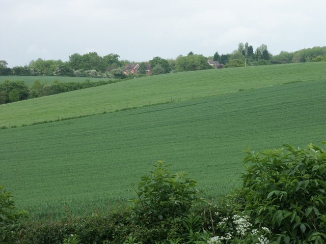
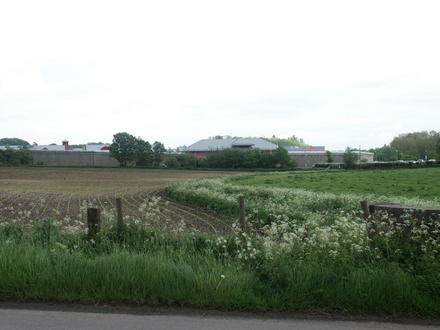
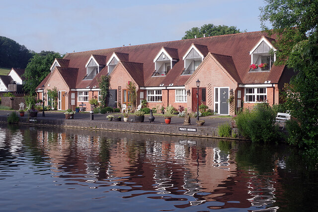
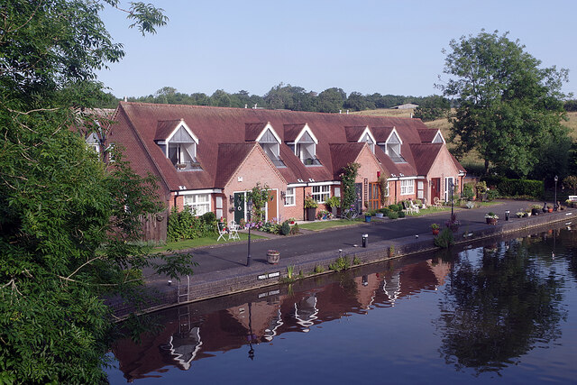
Cobley Hill is known for its tranquil and idyllic setting, surrounded by lush green fields and rolling hills. The village itself is characterized by a charming mix of traditional English cottages and more modern residences. The community is close-knit and boasts a friendly atmosphere, with a population of around 500 residents.
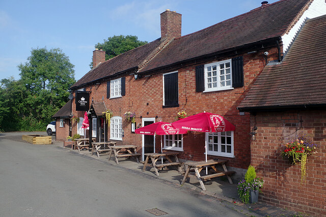
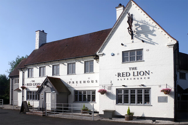
The village offers a range of amenities to its residents, including a local pub, a village hall, and a church, providing a focal point for social gatherings and community events. The surrounding countryside offers numerous opportunities for outdoor activities, such as walking, hiking, and cycling, with several scenic trails and pathways to explore.
Cobley Hill benefits from its proximity to larger towns, such as Droitwich Spa, which provides additional amenities, including shops, supermarkets, and leisure facilities. The village also benefits from excellent transport links, with easy access to the nearby M5 motorway and regular bus services connecting it to surrounding towns and villages.
Overall, Cobley Hill offers a peaceful and picturesque rural lifestyle, making it an attractive place to live for those seeking a quieter and more relaxed setting, while still enjoying convenient access to nearby amenities.
If you have any feedback on the listing, please let us know in the comments section below.
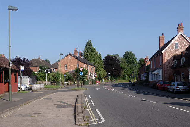
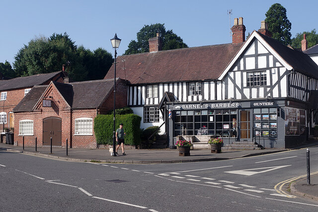
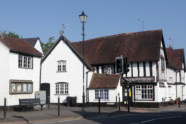
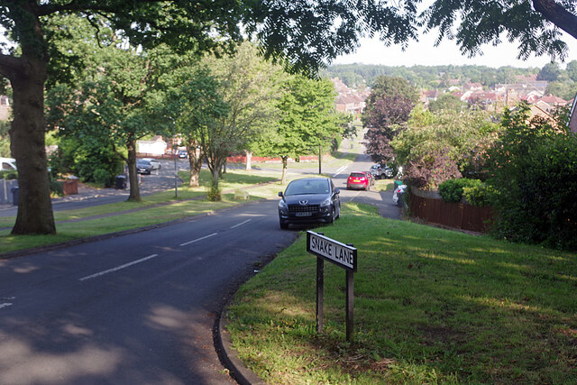
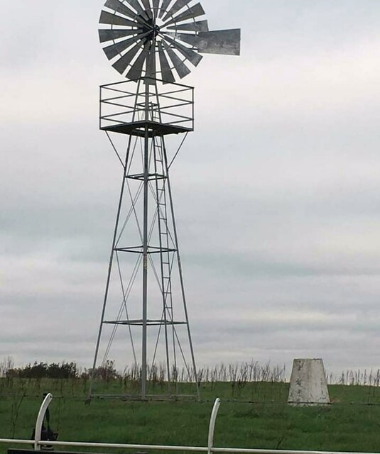
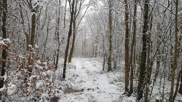
Cobley Hill Images
Images are sourced within 2km of 52.3415/-1.9836 or Grid Reference SP0171. Thanks to Geograph Open Source API. All images are credited.
Cobley Hill is located at Grid Ref: SP0171 (Lat: 52.3415, Lng: -1.9836)
Administrative County: Worcestershire
District: Bromsgrove
Police Authority: West Mercia
What 3 Words
///owls.movies.spoke. Near Alvechurch, Worcestershire
Nearby Locations
Related Wikis
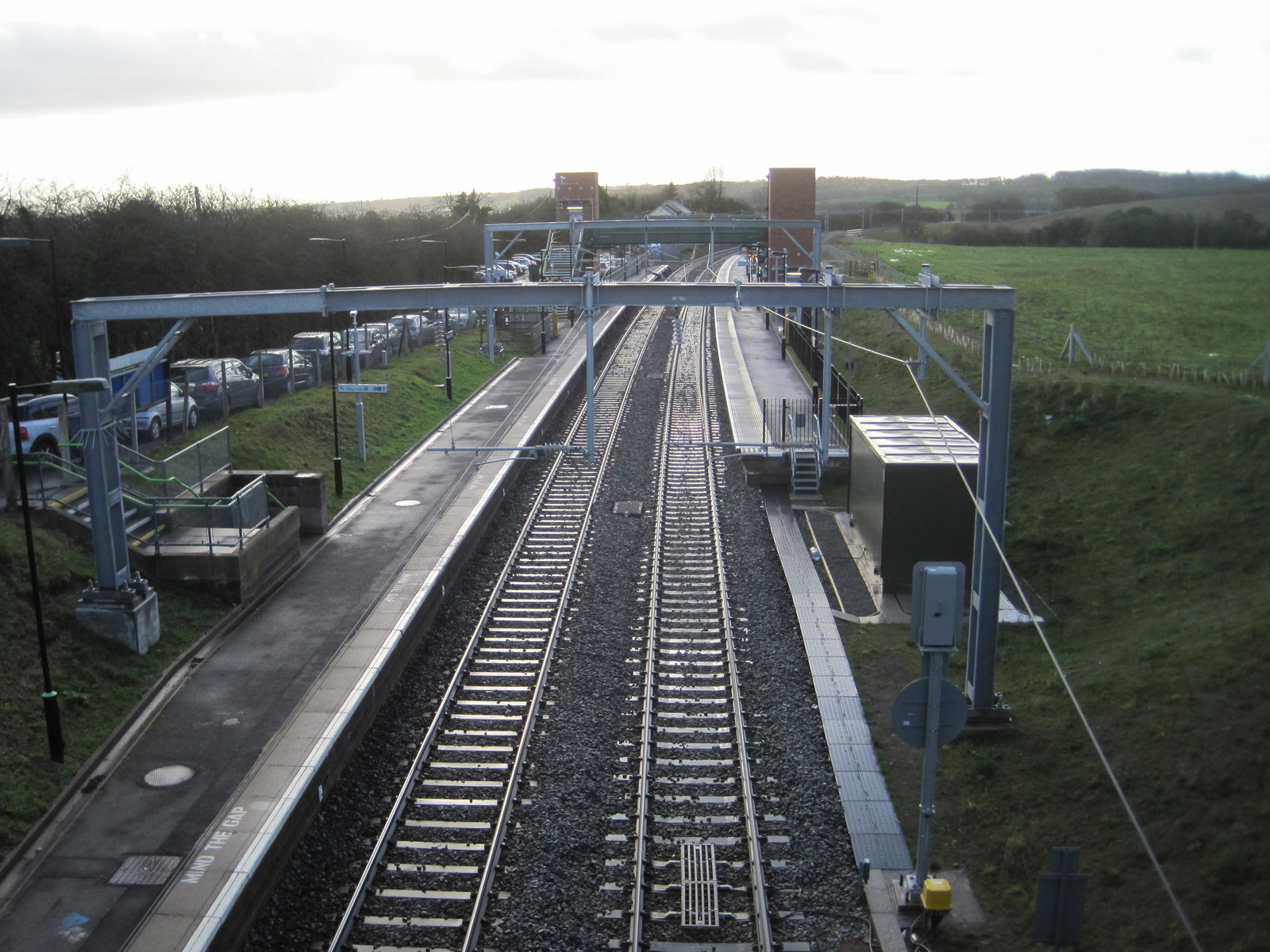
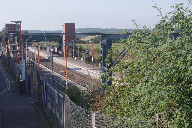
Alvechurch railway station
Alvechurch railway station serves the village of Alvechurch in North Worcestershire, England. It is on the Cross-City Line 11+1⁄4 miles (18 km) southwest...

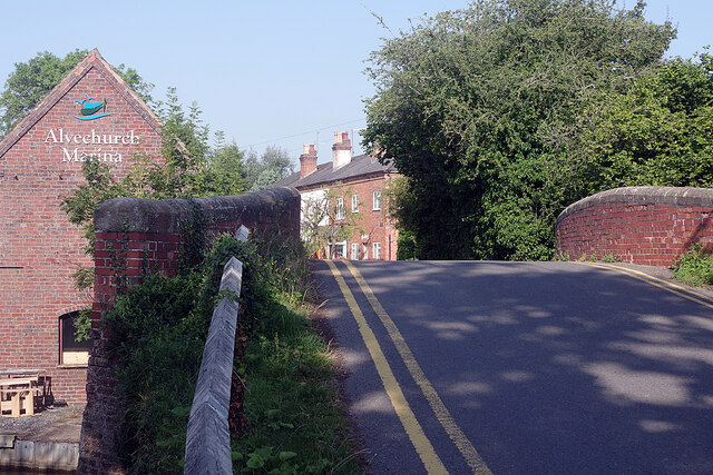
Alvechurch
Alvechurch ( ALV-church) is a large village and civil parish in the Bromsgrove district in northeast Worcestershire, England, in the valley of the River...

Blackwell Golf Club
Blackwell Golf Club is a golf club situated in the village of Blackwell near Bromsgrove, Worcestershire, England. It has been host to regional qualifying...
Alvechurch F.C.
Alvechurch Football Club is a football club based in Alvechurch, Worcestershire, England. They are currently members of the Southern League Premier Division...
Nearby Amenities
Located within 500m of 52.3415,-1.9836Have you been to Cobley Hill?
Leave your review of Cobley Hill below (or comments, questions and feedback).