Scarfields Dingle
Valley in Worcestershire Bromsgrove
England
Scarfields Dingle
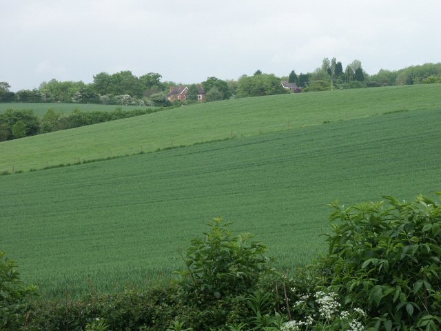
Scarfields Dingle is a picturesque valley located in Worcestershire, England. Nestled between the towns of Great Malvern and Upton upon Severn, it is renowned for its stunning natural beauty and tranquil atmosphere. The dingle is situated within the Malvern Hills Area of Outstanding Natural Beauty, which further adds to its allure.
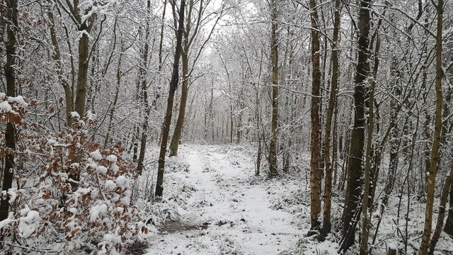
The valley is characterized by its lush green meadows, dense woodlands, and the meandering Scarfields Brook that runs through it. The brook is flanked by a variety of native trees, including oak, beech, and ash, providing a habitat for a diverse range of wildlife. Birdwatchers can spot numerous species, such as kingfishers and herons, while exploring the area.
Scarfields Dingle offers a network of footpaths and trails, making it a popular destination for nature lovers and hikers. The paths wind through the valley, offering breathtaking views of the surrounding countryside, including the Malvern Hills to the west. Along the way, visitors can enjoy the peaceful ambiance, interrupted only by the gentle sound of the flowing brook.
The dingle is also home to several rare plant species, including the bee orchid and the yellow archangel. These plants thrive in the valley's damp conditions and provide a splash of color amidst the greenery.
Overall, Scarfields Dingle is a hidden gem in Worcestershire, offering a peaceful escape from the hustle and bustle of everyday life. Its natural beauty and diverse wildlife make it a must-visit destination for those seeking tranquility and a connection with nature.
If you have any feedback on the listing, please let us know in the comments section below.
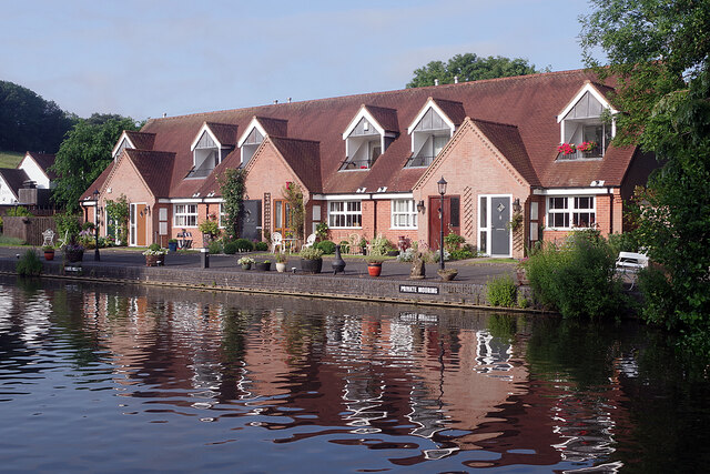
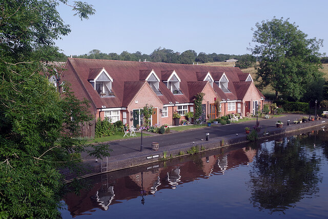
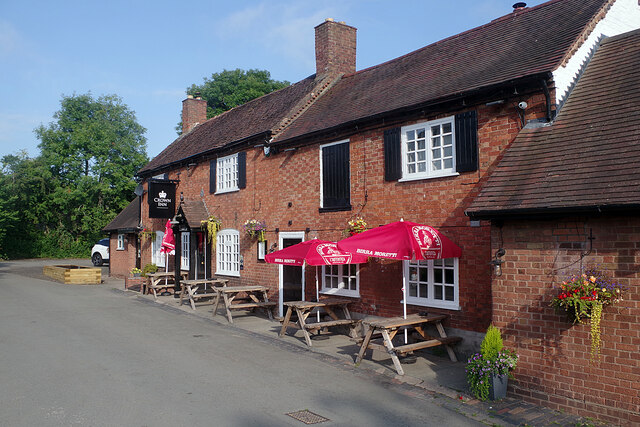
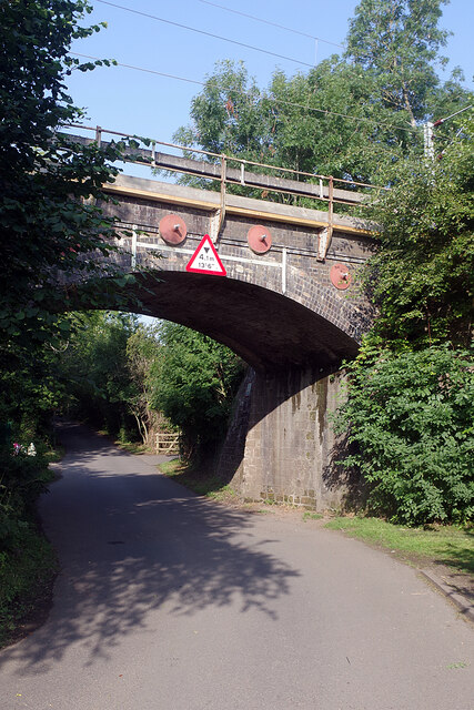
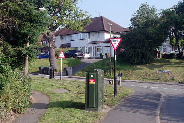
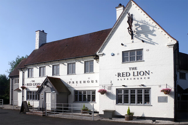
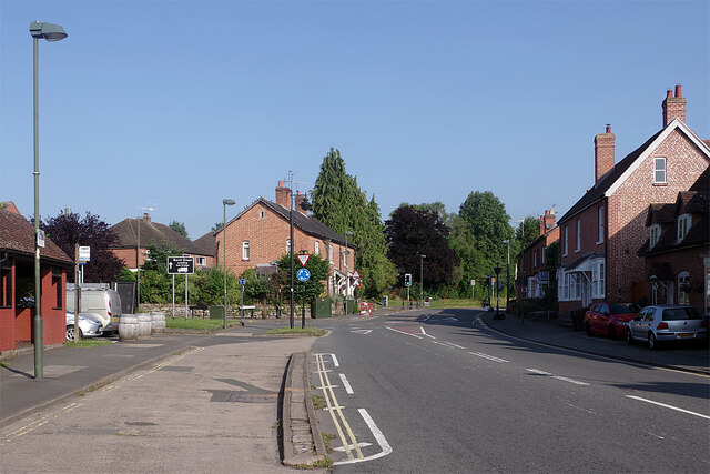
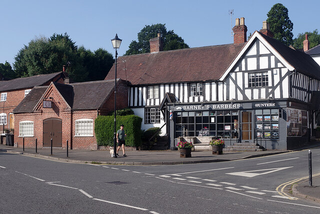
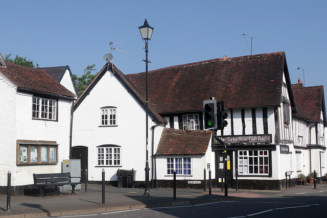
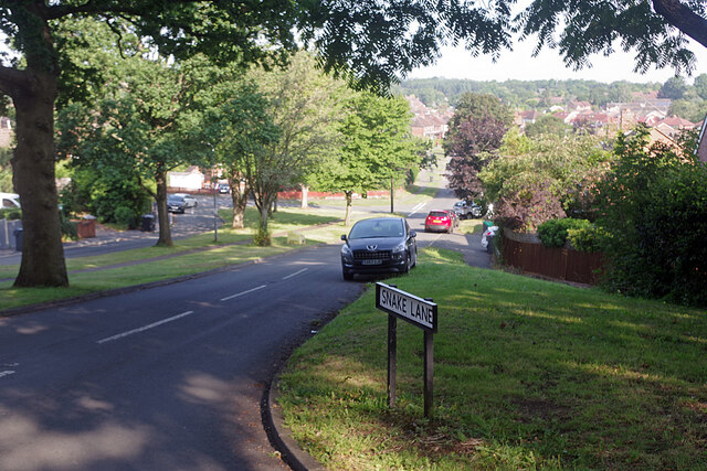
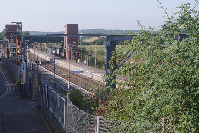
Scarfields Dingle Images
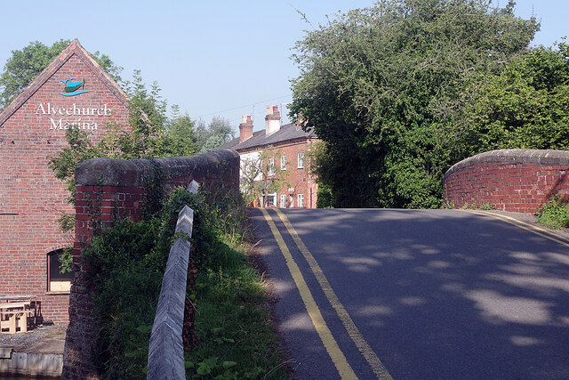
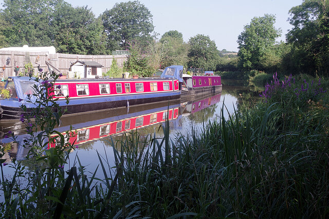
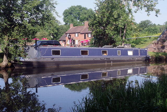
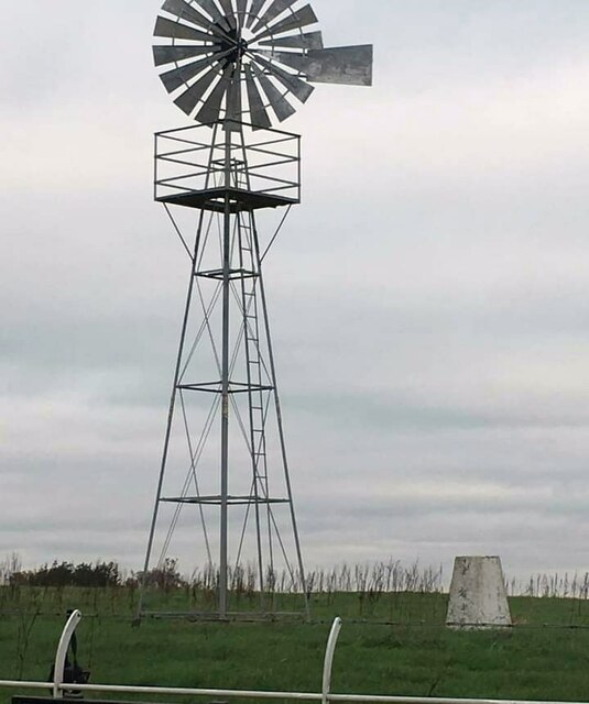
Images are sourced within 2km of 52.343284/-1.9755743 or Grid Reference SP0171. Thanks to Geograph Open Source API. All images are credited.

Scarfields Dingle is located at Grid Ref: SP0171 (Lat: 52.343284, Lng: -1.9755743)
Administrative County: Worcestershire
District: Bromsgrove
Police Authority: West Mercia
What 3 Words
///discouraged.divide.magic. Near Alvechurch, Worcestershire
Nearby Locations
Related Wikis
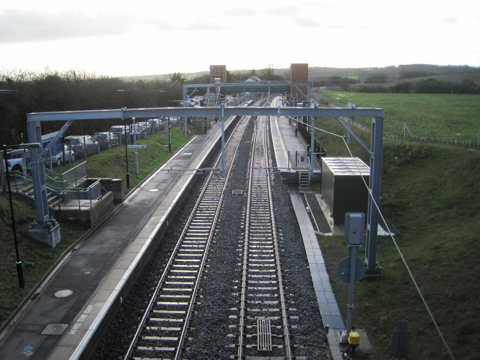
Alvechurch railway station
Alvechurch railway station serves the village of Alvechurch in North Worcestershire, England. It is on the Cross-City Line 11+1⁄4 miles (18 km) southwest...

Alvechurch
Alvechurch ( ALV-church) is a large village and civil parish in the Bromsgrove district in northeast Worcestershire, England, in the valley of the River...

Alvechurch F.C.
Alvechurch Football Club is a football club based in Alvechurch, Worcestershire, England. They are currently members of the Southern League Premier Division...
Alvechurch Church of England Middle School
Alvechurch Church of England Middle School (formerly 'Alvechurch Church of England Primary School') is a coeducational Church of England middle school...
Nearby Amenities
Located within 500m of 52.343284,-1.9755743Have you been to Scarfields Dingle?
Leave your review of Scarfields Dingle below (or comments, questions and feedback).