Cobley Hill
Hill, Mountain in Worcestershire Bromsgrove
England
Cobley Hill
Cobley Hill is a prominent hill located in Worcestershire, England. Standing at an elevation of approximately 225 meters (738 feet), it is considered a prominent landmark in the region. The hill is situated near the village of Clent, about 20 kilometers (12 miles) southwest of the city of Birmingham.
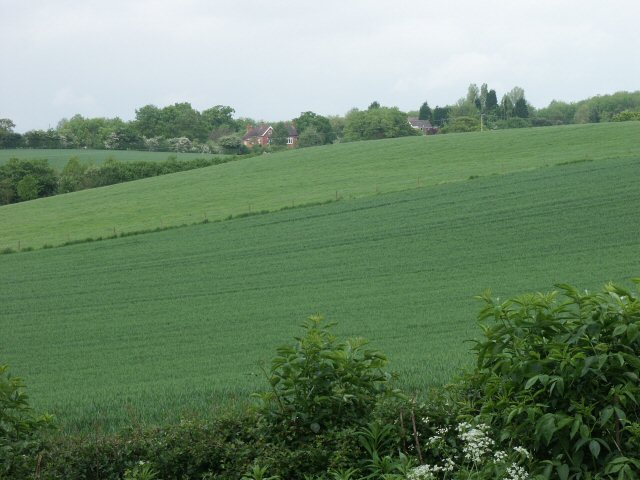
Cobley Hill offers breathtaking panoramic views of the surrounding countryside and the neighboring Clent Hills. Its location in the heart of the Worcestershire countryside makes it a popular destination for hikers, nature enthusiasts, and photographers. The hill is covered with lush green vegetation, particularly during the summer months when wildflowers bloom, adding to its scenic charm.
The hill is part of the wider Clent Hills range, which is known for its rich natural beauty and is designated as a Site of Special Scientific Interest (SSSI). It is home to a variety of wildlife, including birds, rabbits, and deer, making it an ideal spot for birdwatching and wildlife spotting.
Cobley Hill offers several walking trails and footpaths, allowing visitors to explore its diverse landscape and enjoy the peaceful surroundings. Additionally, the hill is easily accessible, with ample parking facilities nearby.
Overall, Cobley Hill is a picturesque hill in Worcestershire, offering stunning views, diverse flora and fauna, and a tranquil environment for those seeking a peaceful escape in nature.
If you have any feedback on the listing, please let us know in the comments section below.
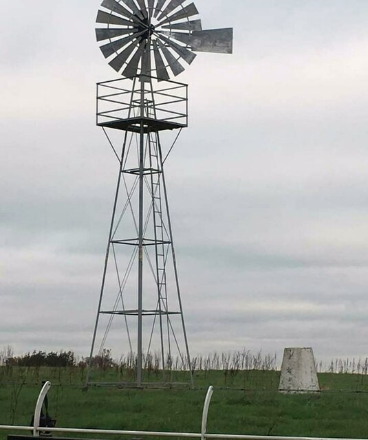
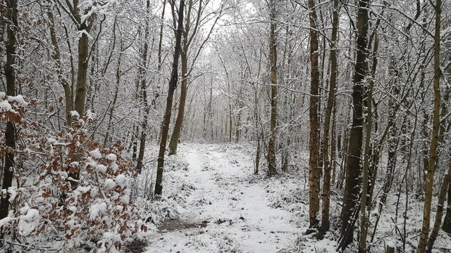
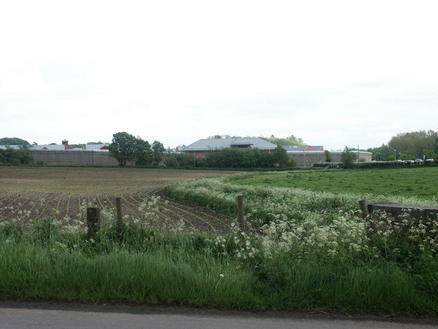
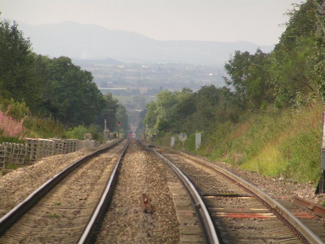
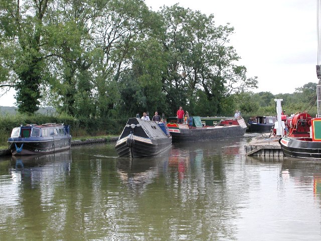
Cobley Hill Images
Images are sourced within 2km of 52.340984/-1.9821806 or Grid Reference SP0171. Thanks to Geograph Open Source API. All images are credited.


Cobley Hill is located at Grid Ref: SP0171 (Lat: 52.340984, Lng: -1.9821806)
Administrative County: Worcestershire
District: Bromsgrove
Police Authority: West Mercia
What 3 Words
///loses.photos.learn. Near Alvechurch, Worcestershire
Nearby Locations
Related Wikis
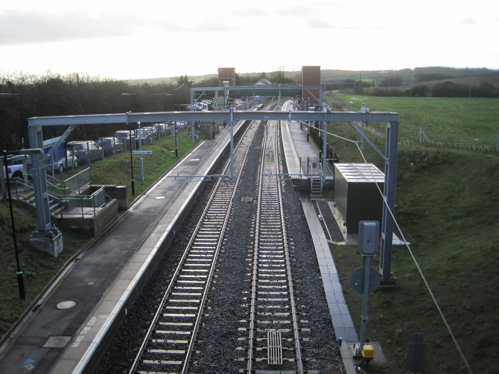
Alvechurch railway station
Alvechurch railway station serves the village of Alvechurch in North Worcestershire, England. It is on the Cross-City Line 11+1⁄4 miles (18 km) southwest...

Alvechurch
Alvechurch ( ALV-church) is a large village and civil parish in the Bromsgrove district in northeast Worcestershire, England, in the valley of the River...

Alvechurch F.C.
Alvechurch Football Club is a football club based in Alvechurch, Worcestershire, England. They are currently members of the Southern League Premier Division...
Blackwell Golf Club
Blackwell Golf Club is a golf club situated in the village of Blackwell near Bromsgrove, Worcestershire, England. It has been host to regional qualifying...
Nearby Amenities
Located within 500m of 52.340984,-1.9821806Have you been to Cobley Hill?
Leave your review of Cobley Hill below (or comments, questions and feedback).