West Wood

Wood, Forest in Wiltshire

England

West Wood

Spin Hill, Market Lavington A very frosty morning in Market Lavington with a hoar frost on all surfaces making it look like a black and white world
Spin Hill, Market Lavington Credit: Rog Frost

West Wood is a picturesque forest located in the county of Wiltshire, England. Covering an area of approximately 500 hectares, it is renowned for its natural beauty and rich biodiversity. The woodland is predominantly composed of native broadleaf trees, including oak, beech, and ash, creating a diverse and enchanting landscape.

As one of the largest woodland areas in Wiltshire, West Wood offers a haven for wildlife and nature enthusiasts. The forest is home to a wide range of fauna, including deer, foxes, badgers, and an array of woodland birds. It is also known for its vibrant display of bluebells during the spring season, attracting visitors from near and far.

Tranquility and serenity define West Wood, making it a popular destination for walkers, hikers, and nature lovers. The forest boasts an extensive network of well-maintained footpaths and trails, allowing visitors to explore its hidden gems and discover its natural wonders. Whether it's a leisurely stroll, a challenging hike, or a peaceful picnic amidst the trees, West Wood offers something for everyone.

West Wood is managed by a dedicated team of conservationists who prioritize the preservation of its unique ecosystem. They work tirelessly to maintain the forest's health and protect its diverse flora and fauna. Educational programs and guided tours are also organized to raise awareness about the importance of conservation and the natural heritage of the area.

In conclusion, West Wood, Wiltshire, is a captivating forest that showcases the beauty of the English countryside. With its stunning landscapes, abundant wildlife, and a sense of tranquility, it is a destination that captivates visitors and provides a welcome escape from the hustle and bustle of everyday life.

If you have any feedback on the listing, please let us know in the comments section below.
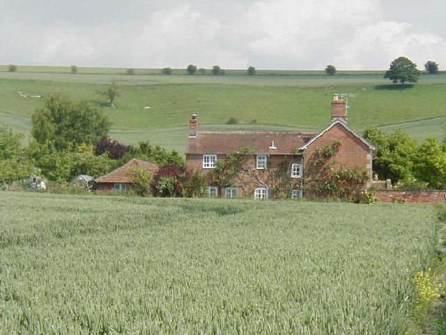
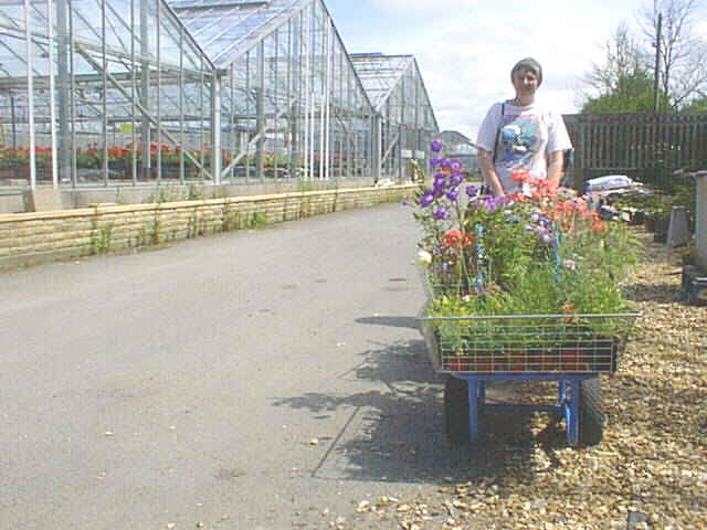
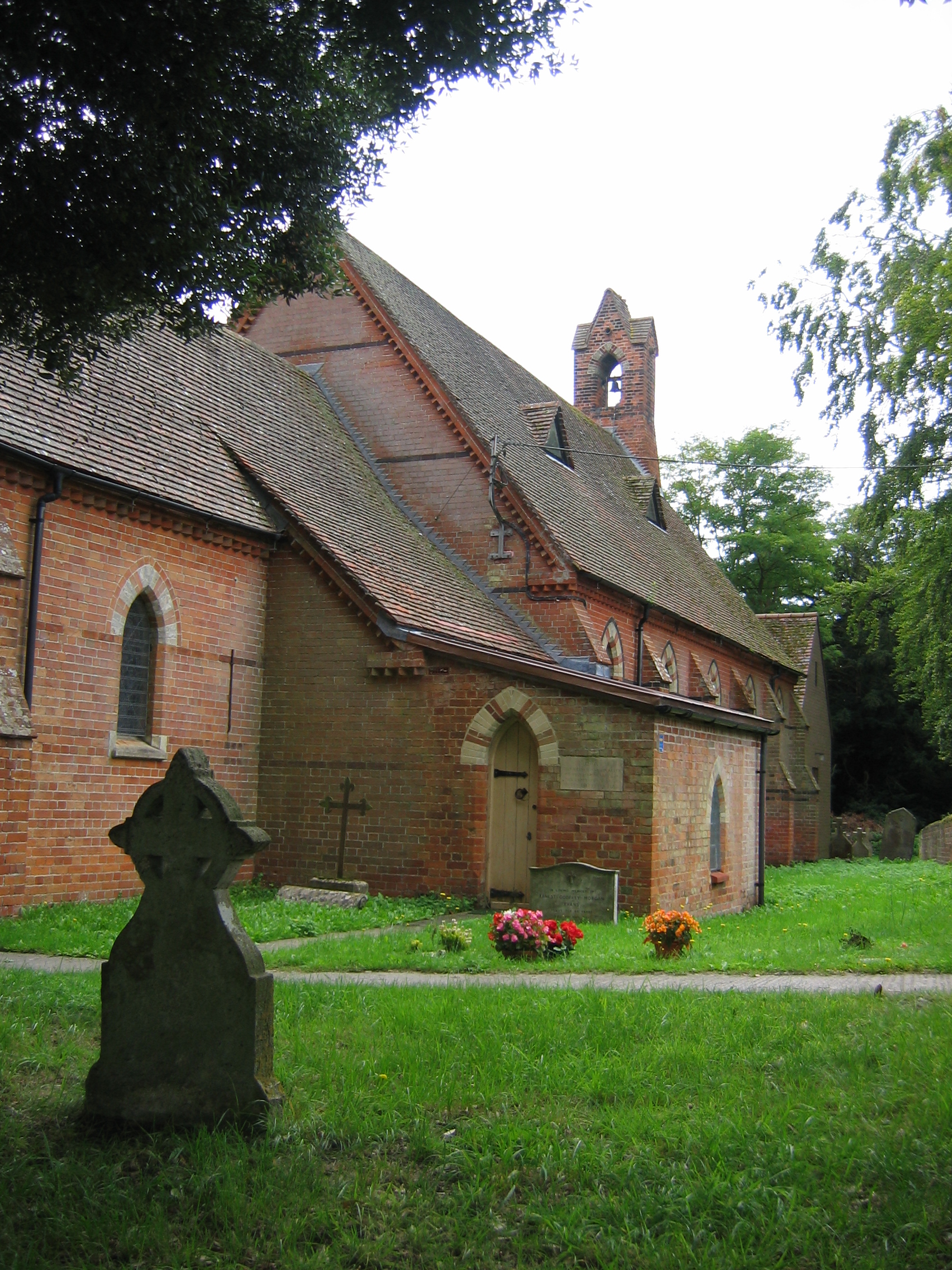
West Wood Images

Images are sourced within 2km of 51.306329/-1.9778586 or Grid Reference SU0156. Thanks to Geograph Open Source API. All images are credited.

Spin Hill, Market Lavington A very frosty morning in Market Lavington with a hoar frost on all surfaces making it look like a black and white world
Spin Hill, Market Lavington
A very frosty morning in Market Lavington with a hoar frost on all surfaces making it look like a black and white world
New cereal growth by The Holloway, Urchfont
Windmill Lane, Market Lavington One of many sunken lanes through the sandstone in Wiltshire - now a very minor footpath
Windmill Lane, Market Lavington
One of many sunken lanes through the sandstone in Wiltshire - now a very minor footpath
Telephone Box at Spin Hill, Market Lavington
Clays Farm, Easterton The chalk hills of Salisbury Plain rise up behind Clays Farm
Clays Farm, Easterton
The chalk hills of Salisbury Plain rise up behind Clays Farm
The sunken lane down to Forest Farm
Nursery, Easterton This image is in dramatic contrast to the image by Michael Dibb in December, 2014.  <a href="https://www.geograph.org.uk/photo/4266406">SU0155 : Once a nursery</a>
Nursery, Easterton
This image is in dramatic contrast to the image by Michael Dibb in December, 2014. SU0155 : Once a nursery
St Barnabas Church, Easterton
On the footpath between St. Barnabas School rear gate and Drove Lane House on Drove Lane in the background (opposite entrance to Elisha Field)
On the footpath between St. Barnabas School rear gate and Drove Lane
House on Drove Lane in the background (opposite entrance to Elisha Field)
Easterton and Market Lavington Easterton and Market Lavington, coming down off Salisbury Plain
Easterton and Market Lavington
Easterton and Market Lavington, coming down off Salisbury Plain
Royal Oak at Easterton Royal Oak at Easterton
Royal Oak at Easterton
Twin weather vanes at Eastcott Twin weather vanes at Eastcott
Twin weather vanes at Eastcott
Rusty corrugated iron building, Eastcott. Rusty corrugated iron building, Eastcott.
Rusty corrugated iron building, Eastcott.
Farm Track onto Salisbury Plain Farm Track onto Salisbury Plain
Farm Track onto Salisbury Plain
Farmland east of Potterne
Farmland east-southeast of Potterne
Farmland east of Potterne
Railway bridge over Crookwood Lane This bridge carries the main London to West Country line.
Railway bridge over Crookwood Lane
This bridge carries the main London to West Country line.
Show me another place!

West Wood is located at Grid Ref: SU0156 (Lat: 51.306329, Lng: -1.9778586)

Unitary Authority: Wiltshire

Police Authority: Wiltshire

What 3 Words

///diamonds.confronts.botanists. Near Market Lavington, Wiltshire

Nearby Locations

West Wood Folly Wood

Related Wikis

Easterton

Easterton is a village and civil parish in Wiltshire, England, 4 miles (6.4 km) south of Devizes. The parish includes the hamlets of Easterton Sands and...

Stert Brook Exposure

Stert Brook Exposure (grid reference SU017583) is a 1.0 acre (0.40 ha) geological Site of Special Scientific Interest in Potterne parish in Wiltshire,...
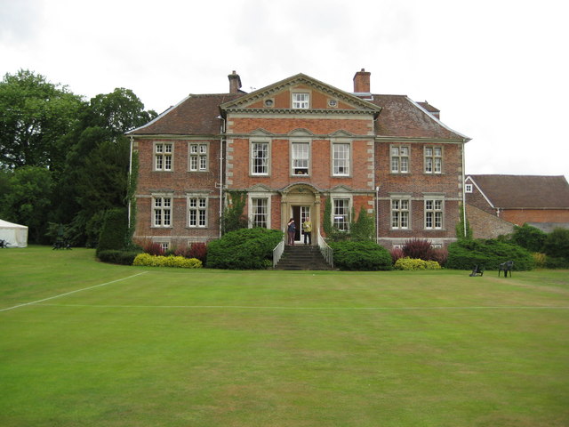
Urchfont Manor

Urchfont Manor is a manor house near the village of Urchfont in Wiltshire, England, about 3+1⁄2 miles (6 km) southeast of the market town of Devizes. Originally...
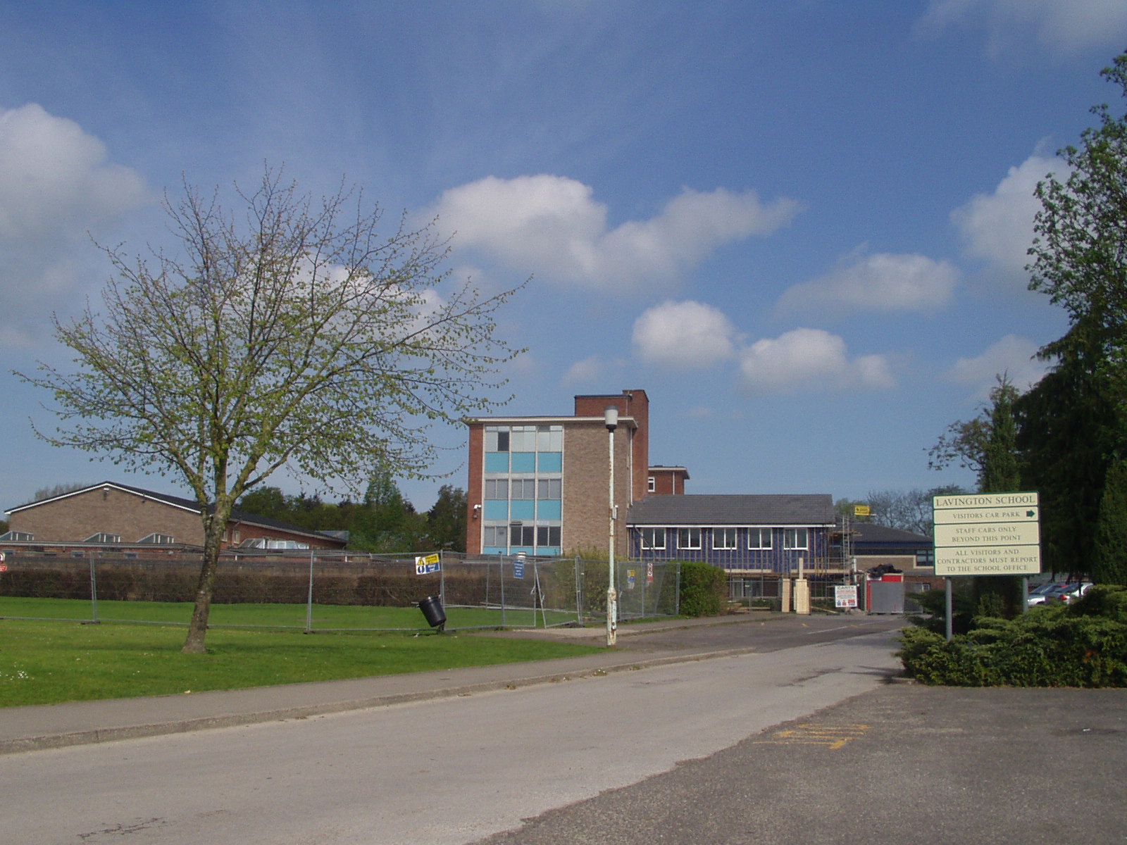
Lavington School

Lavington School is a secondary school in Market Lavington, Wiltshire, England, which became an academy in January 2011. From September 2018 the school...

Nearby Amenities

Located within 500m of 51.306329,-1.9778586
Power: tower
Source: Bing
Lat/Long: 51.3091234/-1.9793579
Power: tower
Source: Bing
Lat/Long: 51.3061553/-1.9717229
Power: tower
Source: Bing
Lat/Long: 51.3070154/-1.9740113
Power: tower
Source: Bing
Lat/Long: 51.3078221/-1.9760359
The data included in this document is from www.openstreetmap.org. The data is made available under ODbL.

Have you been to West Wood?

Leave your review of West Wood below (or comments, questions and feedback).