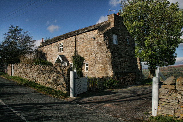
Hill Plantation

Wood, Forest in Durham

England

Hill Plantation

Stanhope Railway Station Steam was due to be running but problems meant no service today. The station was restored in 2004 with reconstruction of the canopy. The Edwardian traveller would notice little difference apart from the footbridge, signal box and signage.
Stanhope Railway Station Credit: Ashley Dace

Hill Plantation, located in Durham, North Carolina, is a sprawling woodland area known for its rich natural beauty and diverse range of plant and animal species. Situated on a gently sloping hill, the plantation covers an expansive area of lush forest, making it a popular destination for nature enthusiasts and researchers alike.

The plantation is primarily characterized by its dense canopy of towering trees, which include a variety of hardwood species such as oak, maple, and hickory. These trees provide ample shade and serve as a habitat for numerous animal species, including squirrels, rabbits, and a wide array of bird species.

In addition to its impressive flora and fauna, Hill Plantation is also home to several hiking trails, allowing visitors to explore and immerse themselves in the natural surroundings. These trails wind through the forest, offering breathtaking views of the surrounding landscape and providing a serene escape from the bustling city life.

Hill Plantation has also gained recognition for its commitment to conservation and sustainability. The management actively promotes responsible land stewardship practices, including controlled burning and invasive species management, to maintain the health and vitality of the plantation's ecosystem.

Overall, Hill Plantation stands as a testament to the natural beauty and biodiversity that can thrive within an urban setting. Its picturesque forest, diverse wildlife, and dedication to conservation make it a cherished natural sanctuary for both locals and tourists seeking to reconnect with nature.

If you have any feedback on the listing, please let us know in the comments section below.

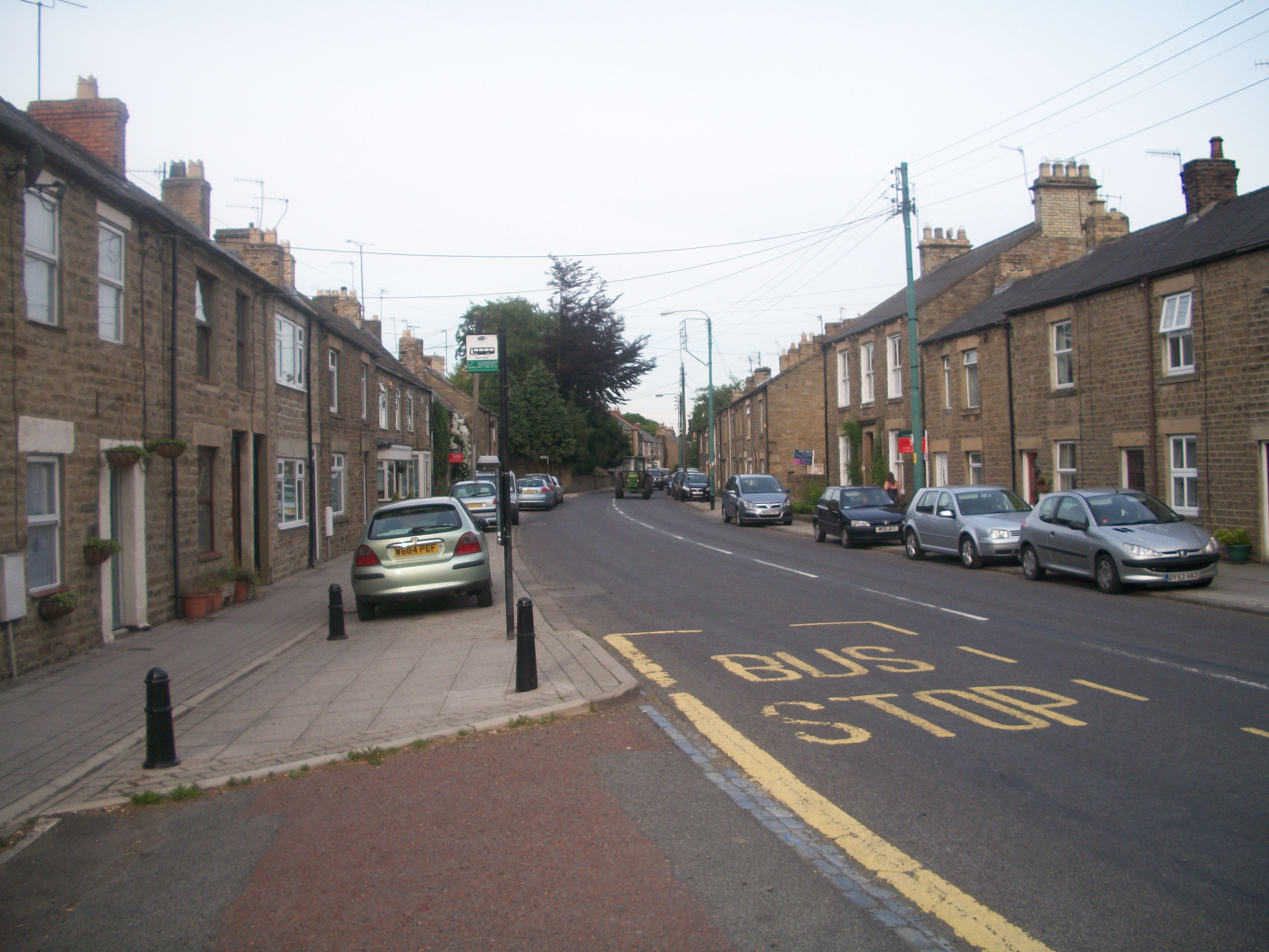
Hill Plantation Images

Images are sourced within 2km of 54.735542/-1.9763933 or Grid Reference NZ0137. Thanks to Geograph Open Source API. All images are credited.

Stanhope Railway Station Steam was due to be running but problems meant no service today. The station was restored in 2004 with reconstruction of the canopy. The Edwardian traveller would notice little difference apart from the footbridge, signal box and signage.
Stanhope Railway Station
Steam was due to be running but problems meant no service today. The station was restored in 2004 with reconstruction of the canopy. The Edwardian traveller would notice little difference apart from the footbridge, signal box and signage.
Stanhope Railway Station A view of the footbridge which hasn't changed in many years.
Stanhope Railway Station
A view of the footbridge which hasn't changed in many years.
Stanhope Railway Station The preserved railway station on the Weardale railway, a line offering a service to Bishops Auckland. Steam runs to Wolsingham and return. Since 2004 the canopy has been restored and facilities improved. <span class="nowrap"><a title="http://www.weardale-railway.org.uk/" rel="nofollow ugc noopener" href="http://www.weardale-railway.org.uk/">Link</a><img style="margin-left:2px;" alt="External link" title="External link - shift click to open in new window" src="https://s1.geograph.org.uk/img/external.png" width="10" height="10"/></span>
Stanhope Railway Station
The preserved railway station on the Weardale railway, a line offering a service to Bishops Auckland. Steam runs to Wolsingham and return. Since 2004 the canopy has been restored and facilities improved. LinkExternal link
South eastern ends of Stanhope Railway Station platforms
Stanhope railway station, County Durham Opened in 1895 by the North Eastern Railway to replace an earlier terminus station, this was on the extended line from Bishop Auckland to Wearhead. The station closed to passengers in 1953 and completely in 1965. 
It was reopened in 2004 by the Weardale Railway Company but regular services were suspended again in 2012. View east towards Frosterley and Bishop Auckland.
Stanhope railway station, County Durham
Opened in 1895 by the North Eastern Railway to replace an earlier terminus station, this was on the extended line from Bishop Auckland to Wearhead. The station closed to passengers in 1953 and completely in 1965. It was reopened in 2004 by the Weardale Railway Company but regular services were suspended again in 2012. View east towards Frosterley and Bishop Auckland.
Frosterley village hall
Black Bull The Black Bull Inn at Frosterley.
Black Bull
The Black Bull Inn at Frosterley.
Brown's Houses Cottage beneath Hill End in Weardale.
Brown's Houses
Cottage beneath Hill End in Weardale.
Riverwood Lodges in Stanhope
Derelict outbuildings at Parson Byers
Yeka Burn in flood flowing to the River Wear on New Year's Day 2012
Drive to Ridding House
Grazing land north of Hill End in Weardale
The River Wear south of Frosterley
Footpath down to footbridge over the River Wear
The Frosterley Inn, Frosterley
Houses at Westfield, Frosterley
The entrance to Ward Timber Ltd
Show me another place!

Hill Plantation is located at Grid Ref: NZ0137 (Lat: 54.735542, Lng: -1.9763933)

Unitary Authority: County Durham

Police Authority: Durham

What 3 Words

///peroxide.caramel.snug. Near Stanhope, Co. Durham

Related Wikis

Rogerley Quarry

Rogerley Quarry is a Site of Special Scientific Interest in the Wear Valley district of west County Durham, England. It lies on the edge of the valley...

Shittlehope

Shittlehope is a hamlet in the civil parish of Stanhope, in County Durham, England. It is situated on the north side of Weardale between Stanhope and Frosterley...

Bridge End, County Durham

Bridge End is a hamlet in the civil parish of Stanhope, in County Durham, England. It is situated on the south bank of the River Wear, on the other side...

Frosterley

Frosterley is a village in the civil parish of Stanhope, in County Durham, England. It is situated in Weardale, on the River Wear close to its confluence...

Nearby Amenities

Located within 500m of 54.735542,-1.9763933
Ford: yes
Lat/Long: 54.7382785/-1.9721116
Bus Stop
Lodge
Naptan AtcoCode: 13004353D
Naptan Bearing: SE
Naptan CommonName: Lodge
Naptan Indicator: south east bound
Naptan Landmark: Landmark not known
Naptan NaptanCode: durdagja
Naptan Notes: Opposite Rogerley Lodge on A689- near Rogerley Quarry- SE of Stanhope
Naptan Street: A689
Naptan Verified: no
Source: naptan_import
Lat/Long: 54.7333081/-1.9787397
Bus Stop
Lodge
Local Ref: NW
Naptan AtcoCode: 13004353H
Naptan Bearing: NW
Naptan CommonName: Lodge
Naptan Indicator: nw
Naptan Landmark: Landmark not known
Naptan NaptanCode: durdagjd
Naptan Notes: Outside Rogerley Lodge on A689- near Rogerley Quarry- SE of Stanhope
Naptan Street: A689
Naptan Verified: no
Source: naptan_import
Lat/Long: 54.7332003/-1.9787397
Power: pole
Lat/Long: 54.7347974/-1.9782566
Power: pole
Lat/Long: 54.7354772/-1.9777268
Power: pole
Lat/Long: 54.735454/-1.9765842
Power: pole
Lat/Long: 54.73579/-1.9774921
Power: pole
Lat/Long: 54.7361849/-1.9785623
Power: pole
Lat/Long: 54.7365991/-1.9796567
Power: pole
Lat/Long: 54.7368856/-1.9804211
Power: pole
Lat/Long: 54.7372921/-1.9815034
Power: pole
Lat/Long: 54.7377799/-1.982469
Power: pole
Lat/Long: 54.7365929/-1.9732985
Power: pole
Lat/Long: 54.7363514/-1.9724885
Power: pole
Lat/Long: 54.7357319/-1.9729451
Power: pole
Lat/Long: 54.7348717/-1.9735748
Power: pole
Lat/Long: 54.7345527/-1.973839
Power: pole
Lat/Long: 54.7350947/-1.9756897
Power: pole
Lat/Long: 54.7348121/-1.9747925
Power: pole
Lat/Long: 54.7345178/-1.9738872
Power: pole
Lat/Long: 54.7341152/-1.9728197
Power: pole
Lat/Long: 54.7337218/-1.9718273
Power: pole
Lat/Long: 54.7333502/-1.9709006
The data included in this document is from www.openstreetmap.org. The data is made available under ODbL.

Have you been to Hill Plantation?

Leave your review of Hill Plantation below (or comments, questions and feedback).