Dam Plantation

Wood, Forest in Durham

England

Dam Plantation

White Kirkley White Kirkley is a small settlement on the south side of Weardale consisting of little more accommodation than this single terrace of cottages.
White Kirkley Credit: Trevor Littlewood

Dam Plantation is a historic woodland area located in Durham, England. Covering a vast expanse of approximately 200 acres, it is known for its dense forest and diverse range of tree species. The plantation is situated on the outskirts of Durham, making it easily accessible to both locals and tourists alike.

The woodland is predominantly composed of broadleaf trees, including oak, beech, and birch, which create a vibrant and picturesque landscape. Additionally, Dam Plantation boasts a rich biodiversity, providing a habitat for various wildlife species such as deer, foxes, and a wide array of bird species.

The plantation offers a tranquil and peaceful atmosphere, making it a popular destination for nature enthusiasts, hikers, and photographers. It provides numerous walking trails, allowing visitors to explore the beauty of the woodland and immerse themselves in nature. Along the trails, there are several benches strategically placed, providing opportunities for visitors to rest and take in the stunning surroundings.

Furthermore, Dam Plantation has a long history, dating back to the medieval times when it was primarily used for timber production. Today, it is managed by the local authorities, ensuring the preservation of its natural beauty and the protection of its ecosystem.

Overall, Dam Plantation in Durham is a cherished natural gem, offering a captivating forest experience with its diverse tree species, wildlife, and serene ambiance. It serves as a perfect retreat for individuals seeking solace in nature and an opportunity to appreciate the wonders of the English woodland.

If you have any feedback on the listing, please let us know in the comments section below.

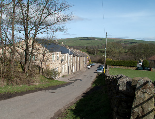
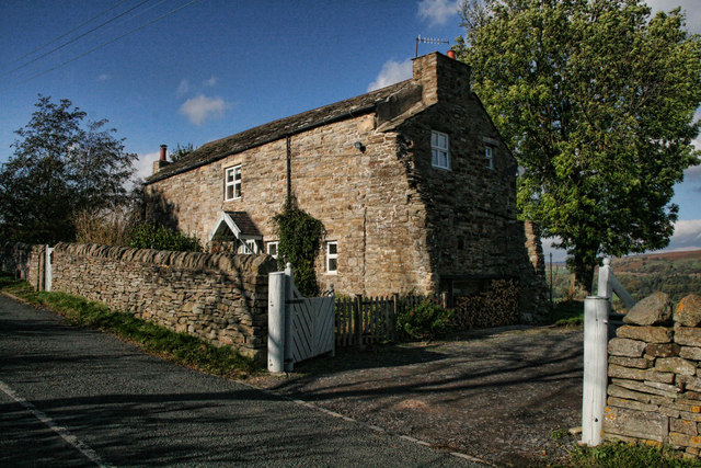
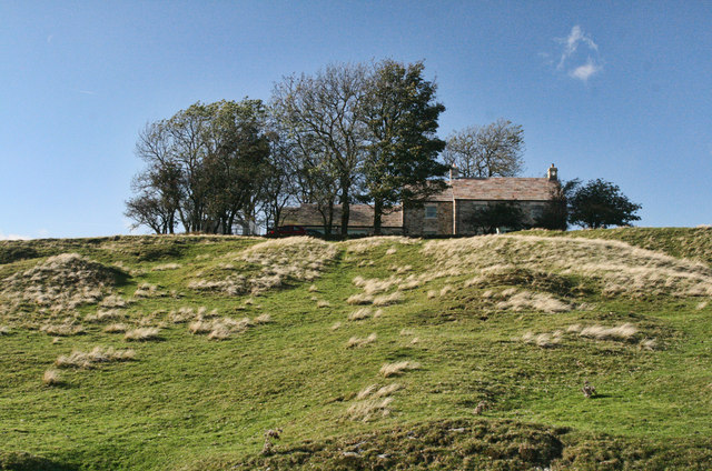
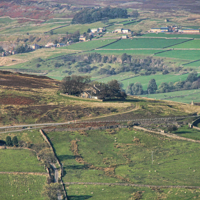
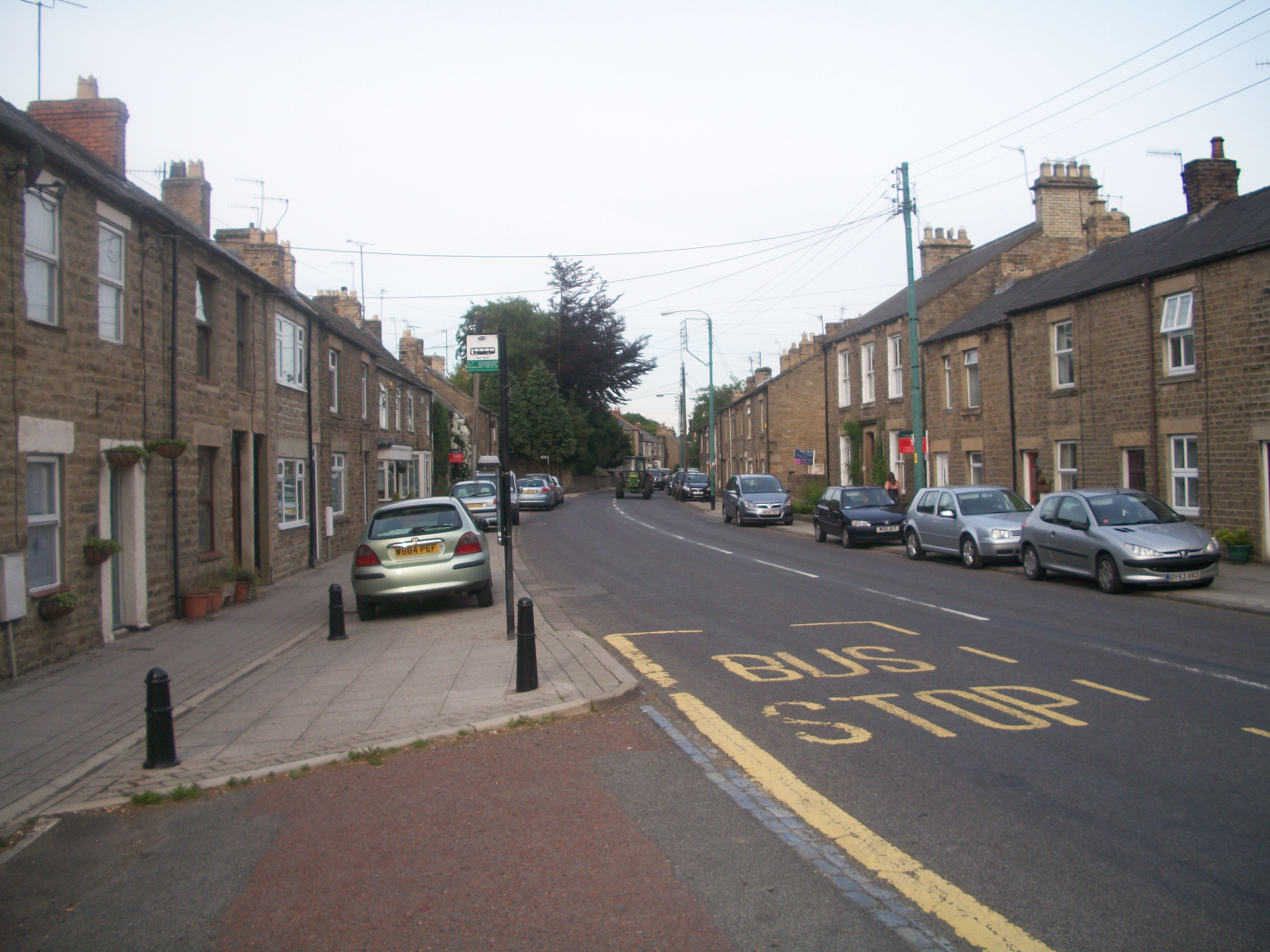
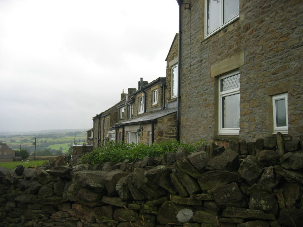
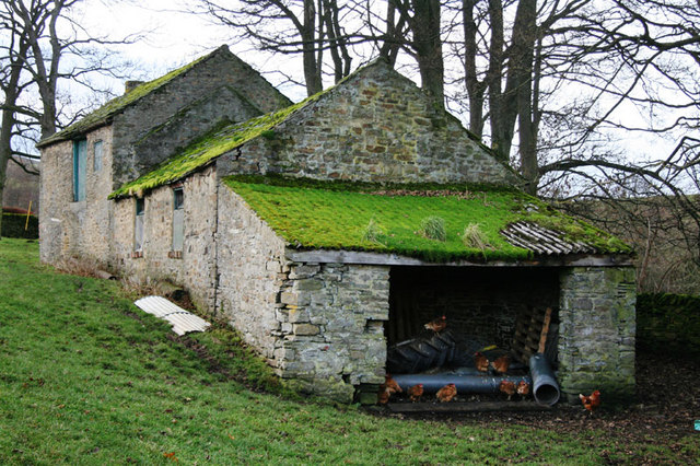
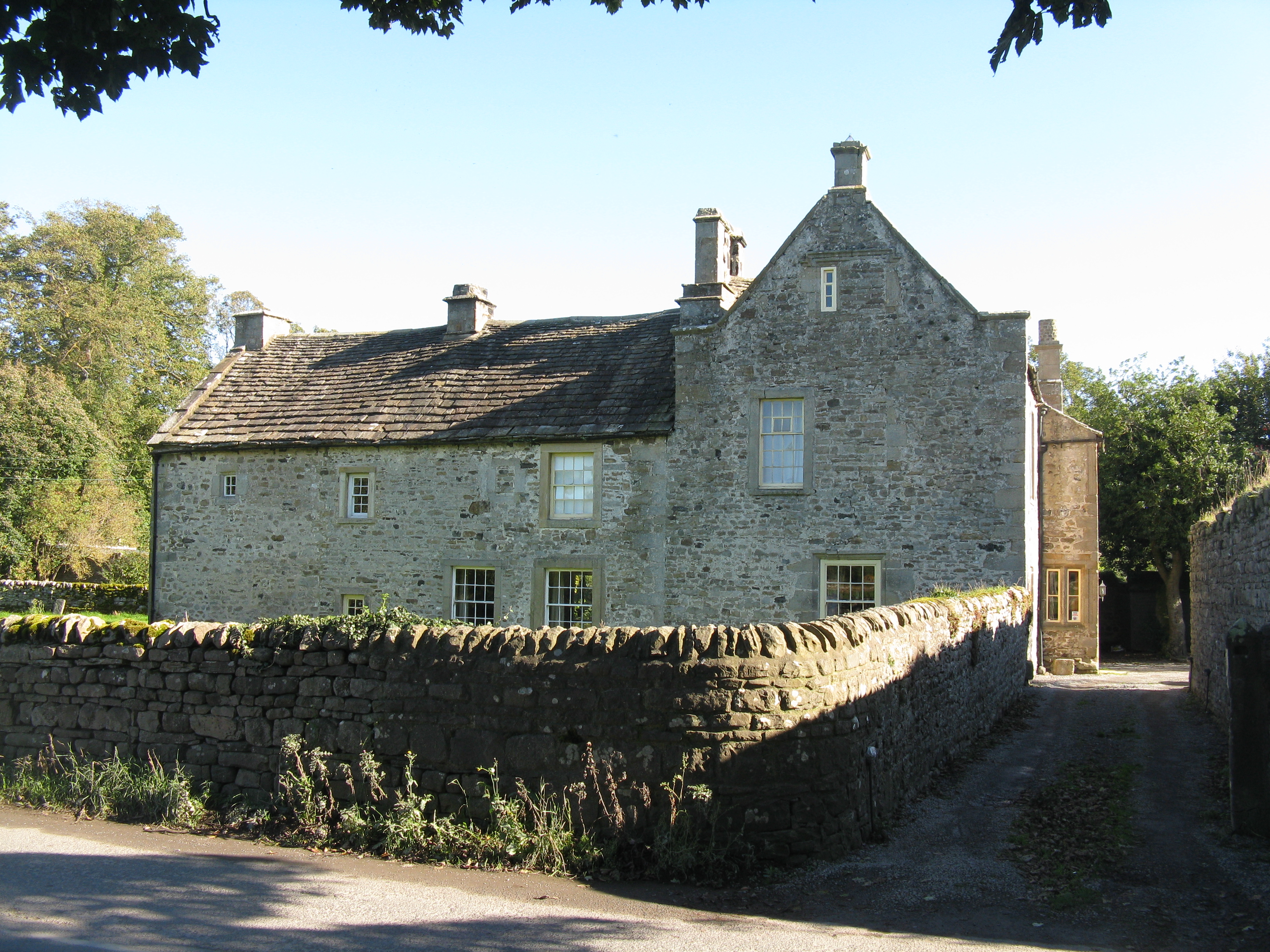
Dam Plantation Images

Images are sourced within 2km of 54.734292/-1.9717506 or Grid Reference NZ0137. Thanks to Geograph Open Source API. All images are credited.

White Kirkley White Kirkley is a small settlement on the south side of Weardale consisting of little more accommodation than this single terrace of cottages.
White Kirkley
White Kirkley is a small settlement on the south side of Weardale consisting of little more accommodation than this single terrace of cottages.
Frosterley village hall
Broadwood The River Wear crossed by the Weardale Railway and a ford seen from Broadwood Bridge.
Broadwood
The River Wear crossed by the Weardale Railway and a ford seen from Broadwood Bridge.
Black Bull The Black Bull Inn at Frosterley.
Black Bull
The Black Bull Inn at Frosterley.
Brown's Houses Cottage beneath Hill End in Weardale.
Brown's Houses
Cottage beneath Hill End in Weardale.
Hill End House above Hill End.
See also <a href="https://www.geograph.org.uk/photo/1644820">NZ0135 : Hill End</a>.
Hill End
House above Hill End. See also NZ0135 : Hill End.
Hill End House above Hill End seen from Pikeston Fell.
See also <a href="https://www.geograph.org.uk/photo/2661168">NZ0135 : Hill End</a> and <a href="https://www.geograph.org.uk/photo/1644820">NZ0135 : Hill End</a>.
Hill End
House above Hill End seen from Pikeston Fell. See also NZ0135 : Hill End and NZ0135 : Hill End.
Riverwood Lodges in Stanhope
Derelict outbuildings at Parson Byers
Yeka Burn in flood flowing to the River Wear on New Year's Day 2012
Drive to Ridding House
Grazing land north of Hill End in Weardale
The River Wear south of Frosterley
Footpath down to footbridge over the River Wear
A bridge over the River Wear at Frosterley
The Frosterley Inn, Frosterley
Houses at Westfield, Frosterley
The entrance to Ward Timber Ltd
Show me another place!

Dam Plantation is located at Grid Ref: NZ0137 (Lat: 54.734292, Lng: -1.9717506)

Unitary Authority: County Durham

Police Authority: Durham

What 3 Words

///harnessed.clashes.committee. Near Stanhope, Co. Durham

Related Wikis

Rogerley Quarry

Rogerley Quarry is a Site of Special Scientific Interest in the Wear Valley district of west County Durham, England. It lies on the edge of the valley...

Frosterley

Frosterley is a village in the civil parish of Stanhope, in County Durham, England. It is situated in Weardale, on the River Wear close to its confluence...

Bridge End, County Durham

Bridge End is a hamlet in the civil parish of Stanhope, in County Durham, England. It is situated on the south bank of the River Wear, on the other side...

Hill End, County Durham

Hill End is a village in the civil parish of Stanhope, in County Durham, England. It is situated on the south side of Weardale, near Frosterley. ��2�...

Shittlehope

Shittlehope is a hamlet in the civil parish of Stanhope, in County Durham, England. It is situated on the north side of Weardale between Stanhope and Frosterley...

White Kirkley

White Kirkley is a small village in the civil parish of Stanhope, in County Durham, England. It's situated on the south side of Weardale, opposite Frosterley...

Unthank, Stanhope

Unthank is a collection of houses in the civil parish of Stanhope, in County Durham, England. Unthank can be found just over Stanhope Ford and at the bottom...

Stanhope, County Durham

Stanhope is a market town and civil parish in the County Durham district, in the ceremonial county of Durham, England. It lies on the River Wear between...

Nearby Amenities

Located within 500m of 54.734292,-1.9717506
Ford: yes
Lat/Long: 54.7382785/-1.9721116
Bus Stop
Lodge
Naptan AtcoCode: 13004353D
Naptan Bearing: SE
Naptan CommonName: Lodge
Naptan Indicator: south east bound
Naptan Landmark: Landmark not known
Naptan NaptanCode: durdagja
Naptan Notes: Opposite Rogerley Lodge on A689- near Rogerley Quarry- SE of Stanhope
Naptan Street: A689
Naptan Verified: no
Source: naptan_import
Lat/Long: 54.7333081/-1.9787397
Bus Stop
Lodge
Local Ref: NW
Naptan AtcoCode: 13004353H
Naptan Bearing: NW
Naptan CommonName: Lodge
Naptan Indicator: nw
Naptan Landmark: Landmark not known
Naptan NaptanCode: durdagjd
Naptan Notes: Outside Rogerley Lodge on A689- near Rogerley Quarry- SE of Stanhope
Naptan Street: A689
Naptan Verified: no
Source: naptan_import
Lat/Long: 54.7332003/-1.9787397
Power: pole
Lat/Long: 54.7347974/-1.9782566
Power: pole
Lat/Long: 54.7354772/-1.9777268
Power: pole
Lat/Long: 54.735454/-1.9765842
Power: pole
Lat/Long: 54.73579/-1.9774921
Power: pole
Lat/Long: 54.7361849/-1.9785623
Power: pole
Lat/Long: 54.7363939/-1.9651768
Power: pole
Lat/Long: 54.7356166/-1.9656435
Power: pole
Lat/Long: 54.7365929/-1.9732985
Power: pole
Lat/Long: 54.7363514/-1.9724885
Power: pole
Lat/Long: 54.7357319/-1.9729451
Power: pole
Lat/Long: 54.7348717/-1.9735748
Power: pole
Lat/Long: 54.7345527/-1.973839
Power: pole
Lat/Long: 54.7350947/-1.9756897
Power: pole
Lat/Long: 54.7348121/-1.9747925
Power: pole
Lat/Long: 54.7345178/-1.9738872
Power: pole
Lat/Long: 54.7341152/-1.9728197
Power: pole
Lat/Long: 54.7337218/-1.9718273
Power: pole
Lat/Long: 54.7333502/-1.9709006
Power: pole
Lat/Long: 54.7328747/-1.9698076
Power: pole
Lat/Long: 54.7327129/-1.968677
Power: pole
Lat/Long: 54.7325348/-1.9674499
Power: pole
Lat/Long: 54.7323954/-1.9664642
Power: pole
Lat/Long: 54.7322614/-1.9655322
The data included in this document is from www.openstreetmap.org. The data is made available under ODbL.

Have you been to Dam Plantation?

Leave your review of Dam Plantation below (or comments, questions and feedback).