West Bolton Plantation
Wood, Forest in Yorkshire Richmondshire
England
West Bolton Plantation
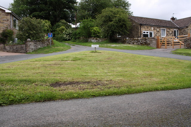
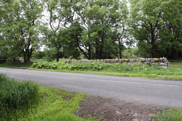
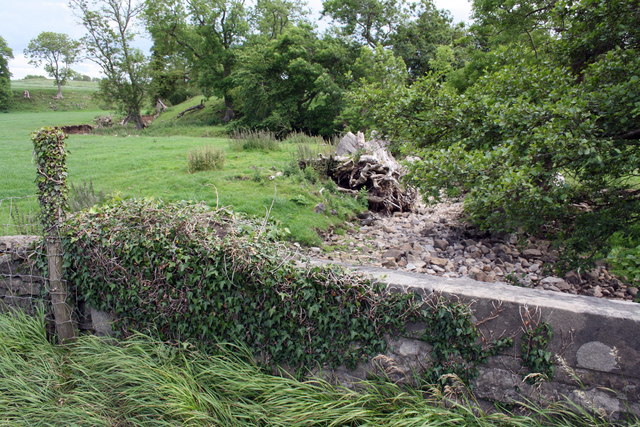
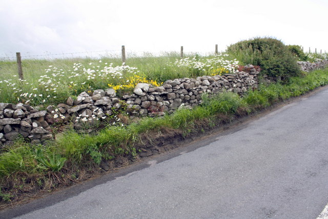
West Bolton Plantation is a picturesque woodland area located in Yorkshire, England. Spread across a vast expanse, this plantation is a true haven for nature enthusiasts and tree lovers. The plantation is situated in the charming village of West Bolton, which is renowned for its natural beauty and serene surroundings.
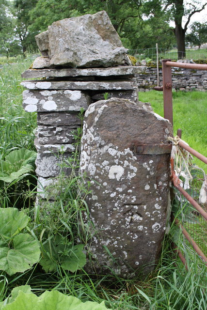
The woodland of West Bolton Plantation is predominantly composed of a diverse range of trees, including oak, beech, maple, and birch. These trees create a dense canopy, providing shade and shelter for various forms of wildlife. The forest floor is covered with a thick layer of moss and ferns, adding to the enchanting ambiance of the plantation.
This woodland is home to a wide variety of wildlife, including several species of birds, such as woodpeckers, owls, and warblers. Small mammals like squirrels and rabbits can also be spotted darting through the underbrush. The plantation's proximity to water sources attracts a range of aquatic creatures, including frogs, newts, and dragonflies.
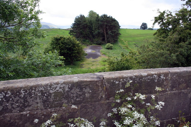
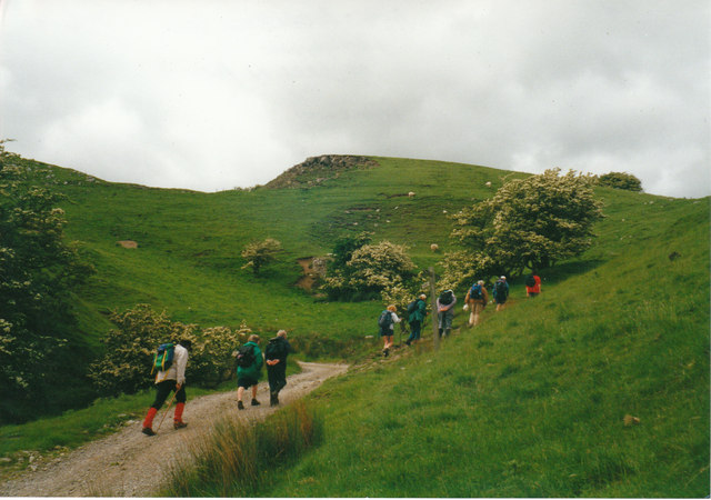
Visitors to West Bolton Plantation can enjoy leisurely walks along well-maintained trails that wind through the woodland. These paths offer stunning views of the surrounding countryside and provide ample opportunities for birdwatching and photography. The plantation also has designated picnic areas, allowing visitors to relax and immerse themselves in the tranquil atmosphere.
West Bolton Plantation is a cherished natural gem that offers a peaceful escape from the hustle and bustle of city life. With its diverse flora and fauna, it provides a unique opportunity to reconnect with nature and appreciate the beauty of Yorkshire's woodlands.
If you have any feedback on the listing, please let us know in the comments section below.
West Bolton Plantation Images
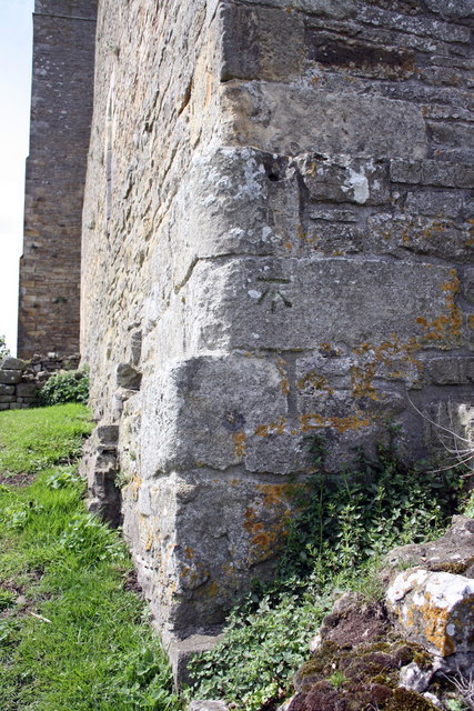
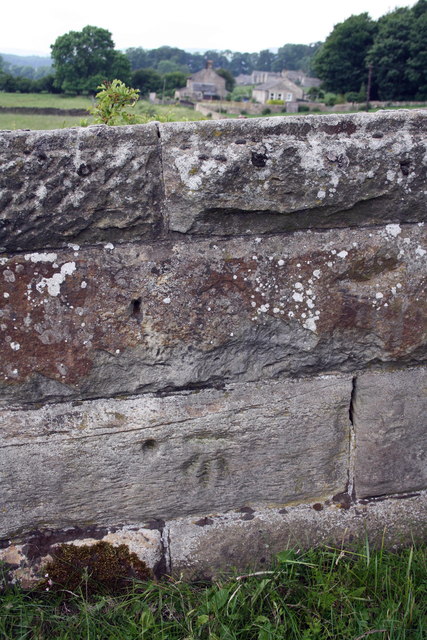
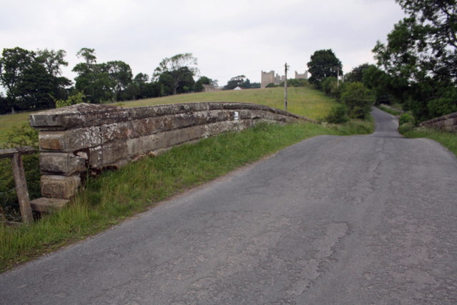
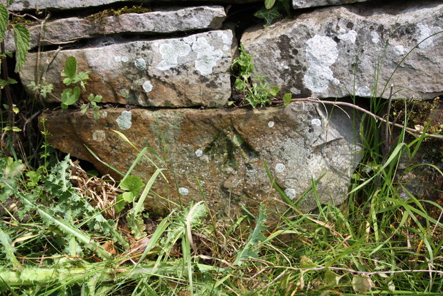
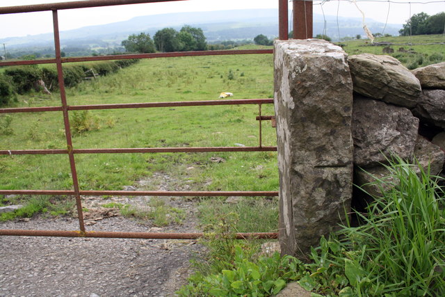
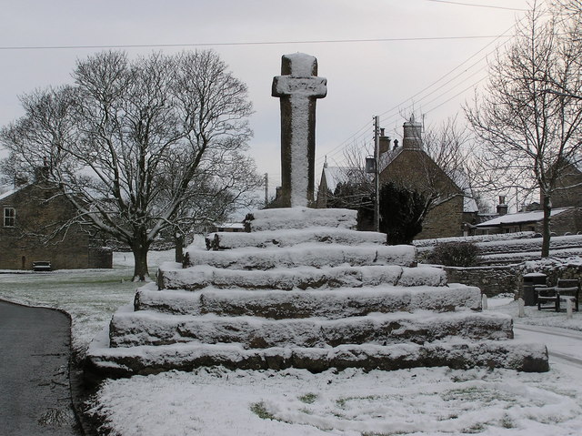
Images are sourced within 2km of 54.312673/-1.9720528 or Grid Reference SE0190. Thanks to Geograph Open Source API. All images are credited.
West Bolton Plantation is located at Grid Ref: SE0190 (Lat: 54.312673, Lng: -1.9720528)
Division: North Riding
Administrative County: North Yorkshire
District: Richmondshire
Police Authority: North Yorkshire
What 3 Words
///strutting.tribal.flipping. Near Leyburn, North Yorkshire
Nearby Locations
Related Wikis

Carperby-cum-Thoresby
Carperby-cum-Thoresby is a civil parish in the Richmondshire district of North Yorkshire, England. The parish contains the village of Carperby and the...

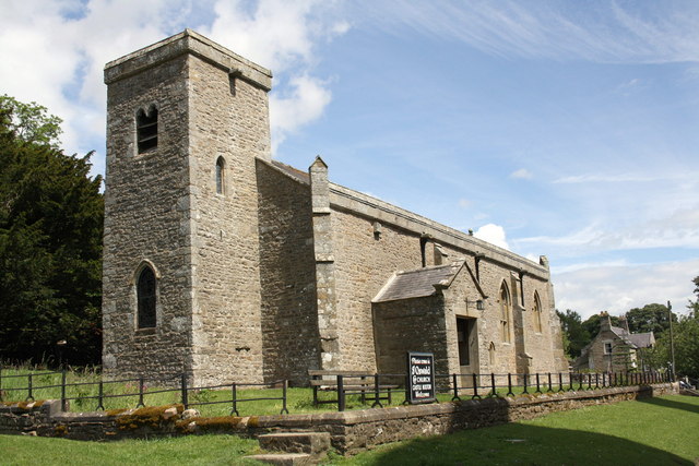
St Oswald's Church, Castle Bolton
St Oswald's Church, Castle Bolton is a Grade II* listed parish church in the Church of England: 106 located in Castle Bolton, North Yorkshire. == History... ==

Bishopdale Beck
Bishopdale Beck is a major tributary of the River Ure in North Yorkshire, England. The beck flows down Bishopdale, a side valley of Wensleydale in the...
Carperby
Carperby is a village in the Yorkshire Dales, North Yorkshire, England. It lies 7 miles (11 km) west of Leyburn. == Etymology == The derivation of the...
Nearby Amenities
Located within 500m of 54.312673,-1.9720528Have you been to West Bolton Plantation?
Leave your review of West Bolton Plantation below (or comments, questions and feedback).