Angelhaw Hill

Hill, Mountain in Yorkshire Richmondshire

England

Angelhaw Hill

The small village green
The small village green Credit: Roger Templeman

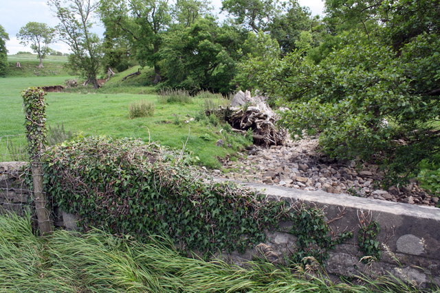
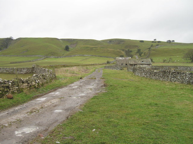
Angelhaw Hill is a prominent natural feature located in the county of Yorkshire, England. It stands as an impressive hill in the Yorkshire Dales National Park, within the renowned Nidderdale Area of Outstanding Natural Beauty. Rising to an elevation of approximately 492 meters (1,614 feet), it is classified as a hill rather than a mountain.

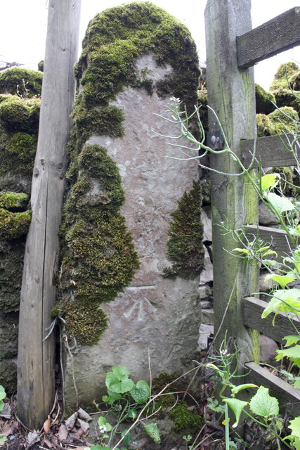
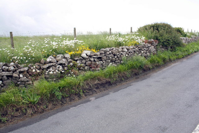
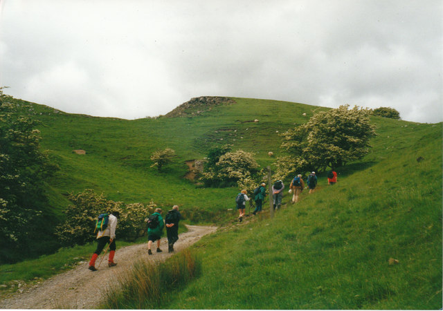
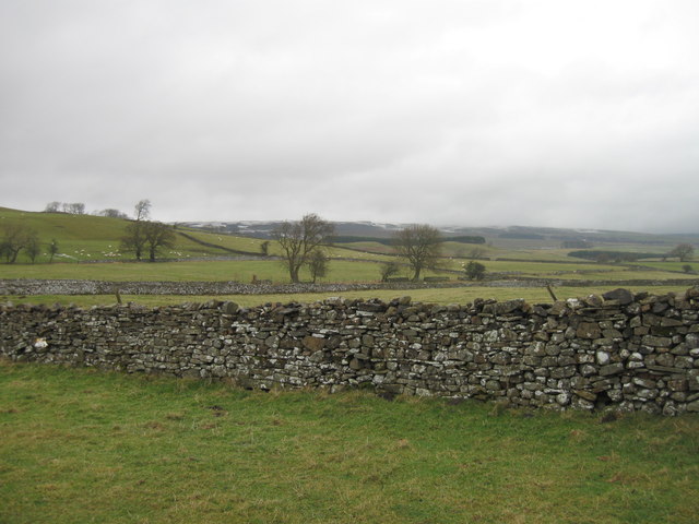
The hill is situated near the village of Pateley Bridge, offering stunning panoramic views over the surrounding countryside. Angelhaw Hill is composed mainly of Millstone Grit, a type of sandstone that is common in the region. Its craggy and rugged appearance makes it an attractive destination for hikers and nature enthusiasts.

The area surrounding Angelhaw Hill is characterized by its rich biodiversity, with a variety of flora and fauna thriving in the diverse habitat. The hill is covered in heather moorland, which provides a unique and picturesque landscape, especially during the blooming season. It is also home to several species of birds, including curlews and lapwings, making it a popular spot for birdwatching.

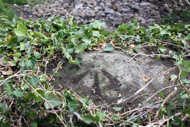
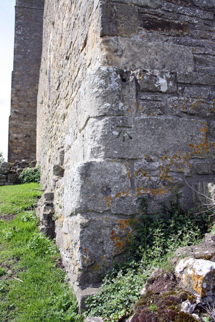
In addition to its natural beauty, Angelhaw Hill holds historical significance as well. It is believed to have been utilized as a defensive site in ancient times, with remnants of an Iron Age hillfort still visible on its slopes. The hillfort is a testament to the area's rich cultural heritage and attracts archeological enthusiasts.

Overall, Angelhaw Hill is a captivating natural landmark that offers visitors an opportunity to immerse themselves in the breathtaking beauty of the Yorkshire countryside while exploring its rich history.

If you have any feedback on the listing, please let us know in the comments section below.

Angelhaw Hill Images

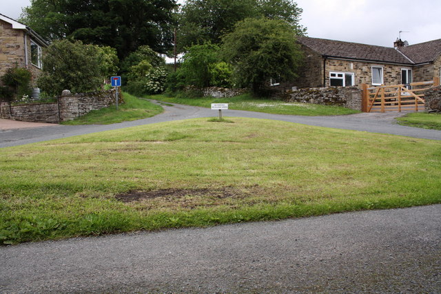
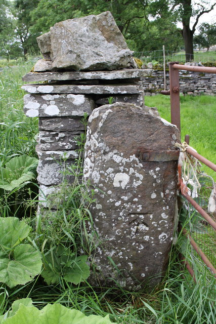
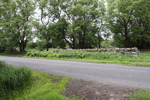
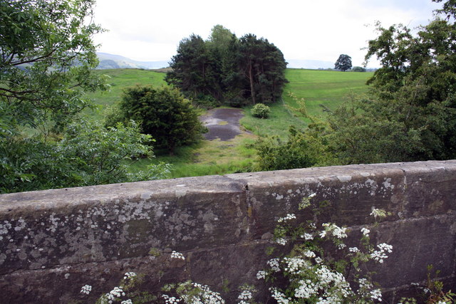
Images are sourced within 2km of 54.314364/-1.9768475 or Grid Reference SE0190. Thanks to Geograph Open Source API. All images are credited.

The small village green
Gatepost with benchmark beside road to Redmire The Ordnance Survey cut mark benchmark is described on the Bench Mark Database at <span class="nowrap"><a title="http://www.bench-marks.org.uk/bm38359" rel="nofollow ugc noopener" href="http://www.bench-marks.org.uk/bm38359">Link</a><img style="margin-left:2px;" alt="External link" title="External link - shift click to open in new window" src="https://s1.geograph.org.uk/img/external.png" width="10" height="10"/></span>
Gatepost with benchmark beside road to Redmire
The Ordnance Survey cut mark benchmark is described on the Bench Mark Database at LinkExternal link
Gateway and minor road junction on road to Redmire The gatepost on LHS of the gateway on RHS of photo has an OS benchmark <a href="https://www.geograph.org.uk/photo/2515931">SE0190 : Gatepost with benchmark beside road to Redmire</a>
Gateway and minor road junction on road to Redmire
The gatepost on LHS of the gateway on RHS of photo has an OS benchmark SE0190 : Gatepost with benchmark beside road to Redmire
View over bridge parapet of dismantled railway trackbed The bridge carries Brunton Bank over a disused and lifted section of the Wensleydale railway.
View over bridge parapet of dismantled railway trackbed
The bridge carries Brunton Bank over a disused and lifted section of the Wensleydale railway.
Wheeling Bridge and a dry Beldon Beck Under the mass of ivy at the left end of the parapet is an OS benchmark <a href="https://www.geograph.org.uk/photo/2516312">SE0390 : Benchmark on top of Wheeling Bridge parapet</a>
Wheeling Bridge and a dry Beldon Beck
Under the mass of ivy at the left end of the parapet is an OS benchmark SE0390 : Benchmark on top of Wheeling Bridge parapet
Benchmark on gatepost of East End Farm Ordnance Survey cut mark benchmark described on the Bench Mark Database at <span class="nowrap"><a title="http://www.bench-marks.org.uk/bm38356" rel="nofollow ugc noopener" href="http://www.bench-marks.org.uk/bm38356">Link</a><img style="margin-left:2px;" alt="External link" title="External link - shift click to open in new window" src="https://s1.geograph.org.uk/img/external.png" width="10" height="10"/></span>
Benchmark on gatepost of East End Farm
Ordnance Survey cut mark benchmark described on the Bench Mark Database at LinkExternal link
Benchmark on parapet of Brunton Bank railway bridge Ordnance Survey cut mark benchmark described on the Bench Mark Database at <span class="nowrap"><a title="http://www.bench-marks.org.uk/bm38360" rel="nofollow ugc noopener" href="http://www.bench-marks.org.uk/bm38360">Link</a><img style="margin-left:2px;" alt="External link" title="External link - shift click to open in new window" src="https://s1.geograph.org.uk/img/external.png" width="10" height="10"/></span>
Benchmark on parapet of Brunton Bank railway bridge
Ordnance Survey cut mark benchmark described on the Bench Mark Database at LinkExternal link
Benchmark on stone at side of Brunton Bank Ordnance Survey pivot benchmark described on the Bench Mark Database at <span class="nowrap"><a title="http://www.bench-marks.org.uk/bm38346" rel="nofollow ugc noopener" href="http://www.bench-marks.org.uk/bm38346">Link</a><img style="margin-left:2px;" alt="External link" title="External link - shift click to open in new window" src="https://s1.geograph.org.uk/img/external.png" width="10" height="10"/></span>
Benchmark on stone at side of Brunton Bank
Ordnance Survey pivot benchmark described on the Bench Mark Database at LinkExternal link
Flowers beside Brunton Bank One of the stones in the wall has an OS benchmark <a href="https://www.geograph.org.uk/photo/2516287">SE0290 : Benchmark on stone at side of Brunton Bank</a>
Flowers beside Brunton Bank
One of the stones in the wall has an OS benchmark SE0290 : Benchmark on stone at side of Brunton Bank
Benchmark on top of Wheeling Bridge parapet Ordnance Survey rivet benchmark described on the Bench Mark Database at <span class="nowrap"><a title="http://www.bench-marks.org.uk/bm38361" rel="nofollow ugc noopener" href="http://www.bench-marks.org.uk/bm38361">Link</a><img style="margin-left:2px;" alt="External link" title="External link - shift click to open in new window" src="https://s1.geograph.org.uk/img/external.png" width="10" height="10"/></span>. There is a wider view of the bridge at <a href="https://www.geograph.org.uk/photo/2515940">SE0390 : Wheeling Bridge and a dry Beldon Beck</a>
Benchmark on top of Wheeling Bridge parapet
Ordnance Survey rivet benchmark described on the Bench Mark Database at LinkExternal link. There is a wider view of the bridge at SE0390 : Wheeling Bridge and a dry Beldon Beck
Benchmark on St Oswald's Church Ordnance Survey cut mark benchmark described on the Bench Mark Database at <span class="nowrap"><a title="http://www.bench-marks.org.uk/bm38364" rel="nofollow ugc noopener" href="http://www.bench-marks.org.uk/bm38364">Link</a><img style="margin-left:2px;" alt="External link" title="External link - shift click to open in new window" src="https://s1.geograph.org.uk/img/external.png" width="10" height="10"/></span>
Benchmark on St Oswald's Church
Ordnance Survey cut mark benchmark described on the Bench Mark Database at LinkExternal link
St Oswald's Church There is an Ordnance Survey benchmark <a href="https://www.geograph.org.uk/photo/2516456">SE0391 : Benchmark on St Oswald's Church</a> on the near corner, right hand face, of the tower
St Oswald's Church
There is an Ordnance Survey benchmark SE0391 : Benchmark on St Oswald's Church on the near corner, right hand face, of the tower
Benchmark on Bolton Castle Ordnance Survey cut mark benchmark described on the Bench Mark Database at <span class="nowrap"><a title="http://www.bench-marks.org.uk/bm30948" rel="nofollow ugc noopener" href="http://www.bench-marks.org.uk/bm30948">Link</a><img style="margin-left:2px;" alt="External link" title="External link - shift click to open in new window" src="https://s1.geograph.org.uk/img/external.png" width="10" height="10"/></span>
Benchmark on Bolton Castle
Ordnance Survey cut mark benchmark described on the Bench Mark Database at LinkExternal link
Bridleway near Ponderledge Scar Wensleydale
Old rail bridge at High Thoresby One of the few remaining bridges on the section of old railway track between Redmire and Askrigg. The prow passes under the old line at this point.
Old rail bridge at High Thoresby
One of the few remaining bridges on the section of old railway track between Redmire and Askrigg. The prow passes under the old line at this point.
Rust and Lichen Broken plough sheer on a wall top.
Rust and Lichen
Broken plough sheer on a wall top.
Peatmoor Lane, Carperby
Fields north of Carperby
Show me another place!

Angelhaw Hill is located at Grid Ref: SE0190 (Lat: 54.314364, Lng: -1.9768475)

Division: North Riding

Administrative County: North Yorkshire

District: Richmondshire

Police Authority: North Yorkshire

What 3 Words

///clocks.mended.spouting. Near Leyburn, North Yorkshire

Related Wikis

Carperby-cum-Thoresby

Carperby-cum-Thoresby is a civil parish in the Richmondshire district of North Yorkshire, England. The parish contains the village of Carperby and the...

Carperby

Carperby is a village in the Yorkshire Dales, North Yorkshire, England. It lies 7 miles (11 km) west of Leyburn. == Etymology == The derivation of the...

St Oswald's Church, Castle Bolton

St Oswald's Church, Castle Bolton is a Grade II* listed parish church in the Church of England: 106  located in Castle Bolton, North Yorkshire. == History... ==

Aysgarth railway station

Aysgarth railway station is a disused railway station in North Yorkshire, England, near Aysgarth Falls. It was part of the Hawes Branch of the North Eastern...

Bolton Castle

Bolton Castle is a 14th-century castle located in Wensleydale, Yorkshire, England (grid reference SE03379183). The nearby village of Castle Bolton takes...

Bishopdale Beck

Bishopdale Beck is a major tributary of the River Ure in North Yorkshire, England. The beck flows down Bishopdale, a side valley of Wensleydale in the...

Castle Bolton

Castle Bolton is a village in North Yorkshire, England. It is in Wensleydale, one of the Yorkshire Dales. The village takes its name from Bolton Castle...

Aysgarth Falls

Aysgarth Falls are a triple flight of waterfalls, surrounded by woodland and farmland, carved out by the River Ure over an almost one-mile (two-kilometre...

Nearby Amenities

Located within 500m of 54.314364,-1.9768475
Barrier: stile
Foot: yes
Lat/Long: 54.3140851/-1.9706023
Barrier: stile
Foot: yes
Lat/Long: 54.3116439/-1.9753288
Power: pole
Lat/Long: 54.3147255/-1.9715497
Power: pole
Lat/Long: 54.3143015/-1.9725743
Power: pole
Lat/Long: 54.3138744/-1.9737062
Power: pole
Lat/Long: 54.3134535/-1.9748193
Power: pole
Lat/Long: 54.3129919/-1.9759861
Power: pole
Lat/Long: 54.3120703/-1.9778556
Power: pole
Lat/Long: 54.311593/-1.9786951
Power: pole
Lat/Long: 54.3109124/-1.9798538
Barrier: entrance
Lat/Long: 54.3123027/-1.9825164
The data included in this document is from www.openstreetmap.org. The data is made available under ODbL.

Have you been to Angelhaw Hill?

Leave your review of Angelhaw Hill below (or comments, questions and feedback).