Collier Law
Hill, Mountain in Durham
England
Collier Law
Collier Law is a prominent geographical feature located in Durham, a county in the northeastern region of England. Situated in the region known as the Durham Dales, Collier Law is classified as a "hill" or "mountain" depending on the context. It stands at an elevation of approximately 2,461 feet (750 meters) above sea level, making it one of the highest points in the area.
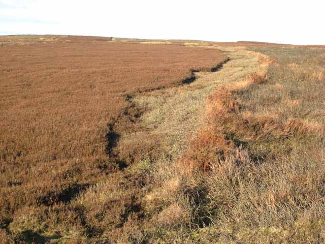
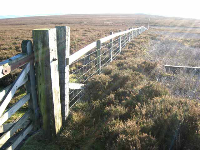
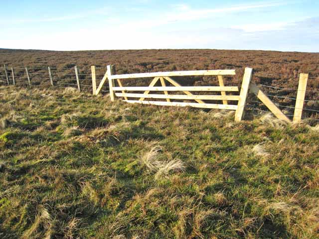
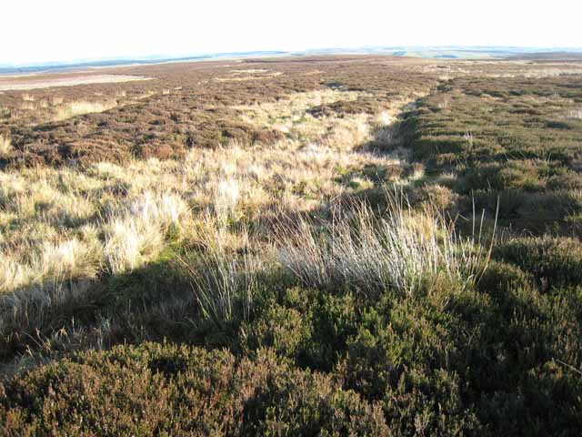
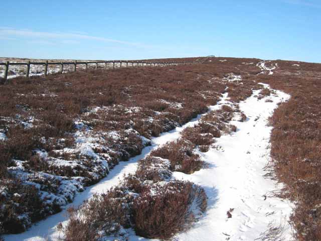
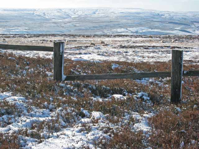
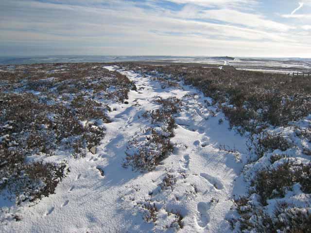
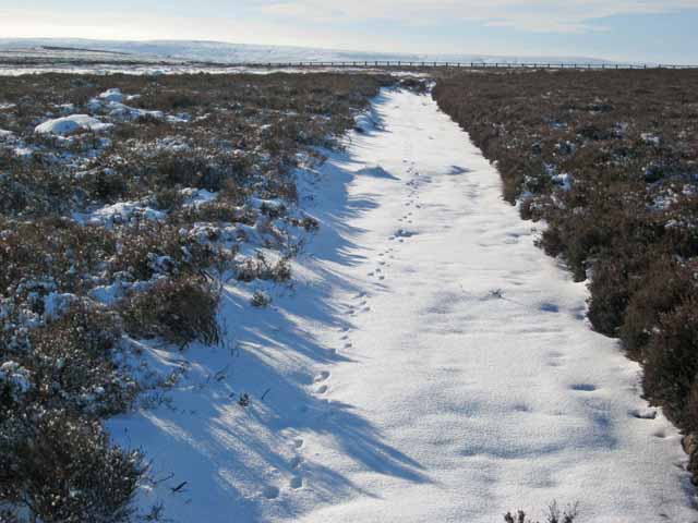
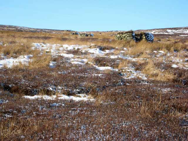
Collier Law offers breathtaking panoramic views of the surrounding countryside, including the picturesque valleys, rolling hills, and charming villages that characterize the Durham Dales. The hill/mountain is covered in lush vegetation, with heather, grasses, and scattered shrubs adorning its slopes. The diverse flora and fauna found in the area make Collier Law an attractive destination for nature enthusiasts and hikers.
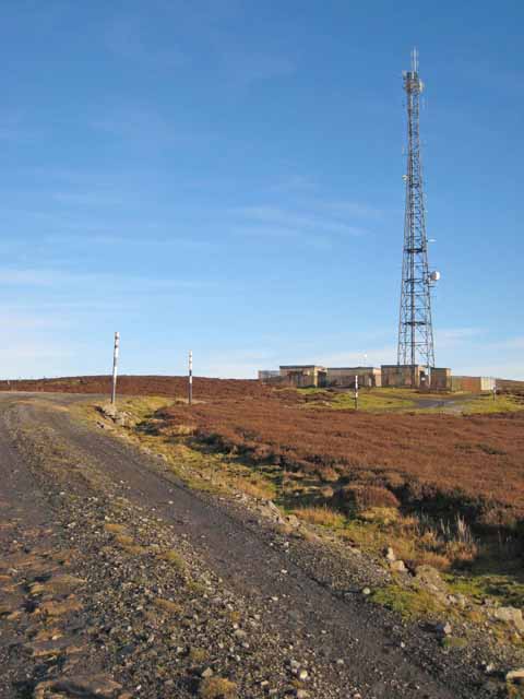
Thanks to its elevation and prominent location, Collier Law also serves as a popular landmark for navigation purposes. It can be seen from various vantage points in Durham and the surrounding areas, acting as a reference point for locals and visitors alike.
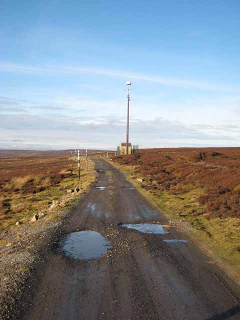
The hill/mountain is accessible via various walking trails and paths that wind through the countryside. These routes offer an opportunity for outdoor exploration and provide a chance to experience the tranquility and natural beauty of the Durham Dales.
Overall, Collier Law is a remarkable geographical feature in Durham, offering stunning views, recreational opportunities, and serving as a navigational landmark in the area.
If you have any feedback on the listing, please let us know in the comments section below.
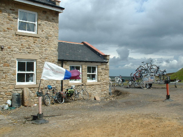
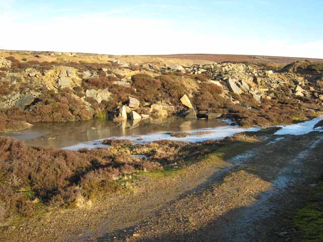
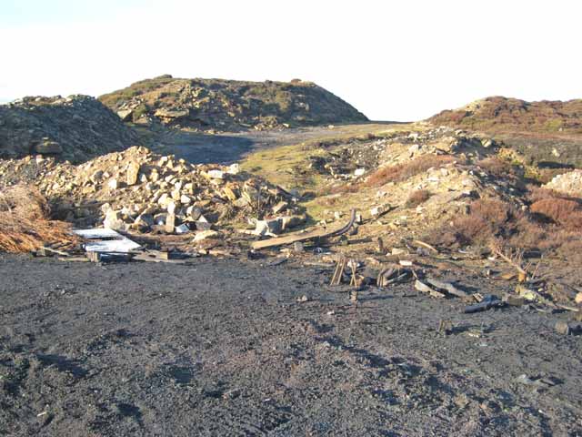
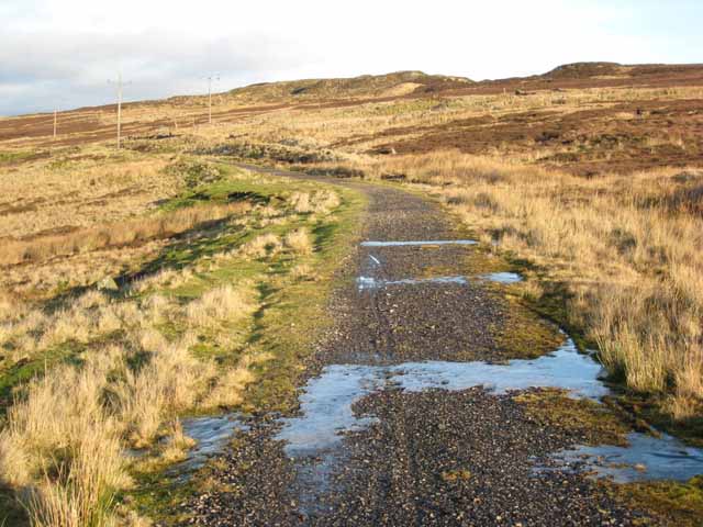
Collier Law Images
Images are sourced within 2km of 54.77103/-1.9763107 or Grid Reference NZ0141. Thanks to Geograph Open Source API. All images are credited.

Collier Law is located at Grid Ref: NZ0141 (Lat: 54.77103, Lng: -1.9763107)
Unitary Authority: County Durham
Police Authority: Durham
What 3 Words
///consonant.kindest.tunnel. Near Stanhope, Co. Durham
Nearby Locations
Related Wikis

Weardale Rural District
Weardale was a rural district in County Durham, England from 1894 to 1974. It was formed under the Local Government Act 1894 as a successor to the Weardale...
Blanchland railway station
Blanchland railway station served the village of Blanchland, Northumberland, England, from 1845 to 1965 on the Stanhope and Tyne Railway. == History... ==
Crawley Edge Cairns
The Crawley Edge Cairns are a series of forty-two Bronze Age round barrows, cairns and clearance cairns located in a field in Crawleyside, near Stanhope...

Crawleyside
Crawleyside is a village in the civil parish of Stanhope, in County Durham, England. It is situated to the north of Stanhope, in Weardale. In the 2001...

Heathery Burn Cave
Heathery Burn Cave is a cave near Stanhope, County Durham, England, in which a large collection of Late Bronze Age weapons and tools was discovered and...
Crawley railway station (Durham)
Crawley railway station served the village of Crawleyside, County Durham, England, from 1845 to 1846 on the Stanhope and Tyne Railway. == History == The...

Stanhope, County Durham
Stanhope is a market town and civil parish in the County Durham district, in the ceremonial county of Durham, England. It lies on the River Wear between...

Shittlehope
Shittlehope is a hamlet in the civil parish of Stanhope, in County Durham, England. It is situated on the north side of Weardale between Stanhope and Frosterley...
Nearby Amenities
Located within 500m of 54.77103,-1.9763107Have you been to Collier Law?
Leave your review of Collier Law below (or comments, questions and feedback).