Rabbit Hill Plantation

Wood, Forest in Worcestershire Bromsgrove

England

Rabbit Hill Plantation

The M5 skirts a hillock Seen from the lane that leads to Chadwich Grange.
The M5 skirts a hillock Credit: Adrian Bailey

Rabbit Hill Plantation is a picturesque woodland located in Worcestershire, England. Spanning over a vast area, this stunning plantation is renowned for its lush greenery, diverse wildlife, and tranquil surroundings. Nestled amidst the rolling hills and valleys, Rabbit Hill Plantation offers a serene escape from the hustle and bustle of city life.

The plantation is predominantly covered in dense forest, with towering oak, beech, and maple trees creating a captivating canopy overhead. The woodland floor is carpeted with an array of wildflowers, ferns, and mosses, adding to the enchanting beauty of the area. Walking through the plantation, visitors are treated to a symphony of birdsong and the occasional scurrying of woodland creatures.

Rabbit Hill Plantation is not only a haven for nature lovers but also a sanctuary for various animal species. The woodland is home to a diverse range of wildlife, including rabbits, squirrels, foxes, and a plethora of bird species. The plantation provides a rich habitat for these creatures, offering ample food sources and shelter.

For outdoor enthusiasts and adventurers, Rabbit Hill Plantation offers numerous walking trails and paths that wind through the woodland. These trails provide an opportunity to explore the natural beauty of the area, with breathtaking views and secluded spots perfect for picnics or simply immersing oneself in the tranquility of the surroundings.

Overall, Rabbit Hill Plantation in Worcestershire is a captivating woodland retreat, offering a vibrant ecosystem and a peaceful sanctuary for both nature enthusiasts and those seeking respite from the pressures of daily life.

If you have any feedback on the listing, please let us know in the comments section below.

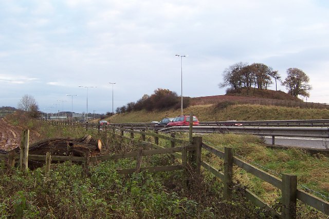
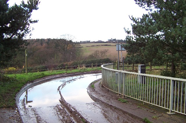
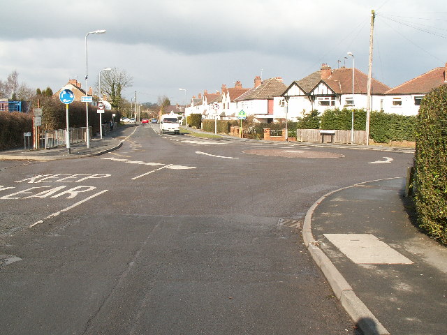
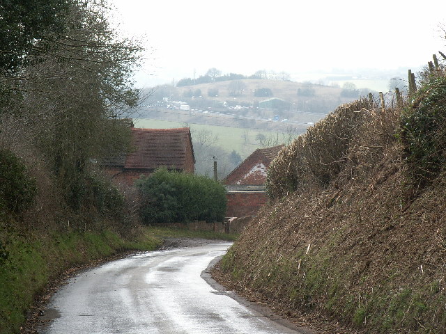
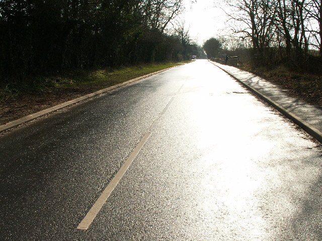
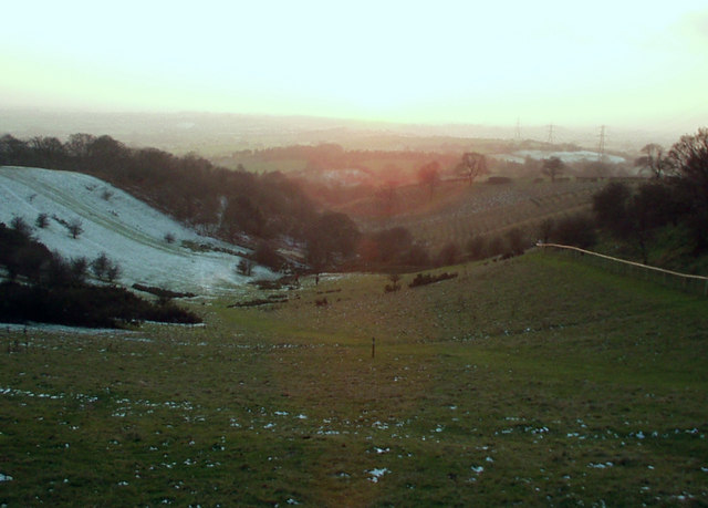
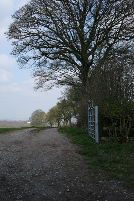
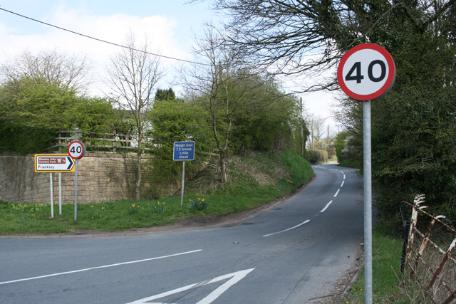
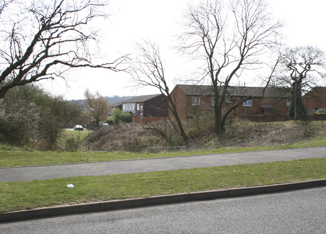
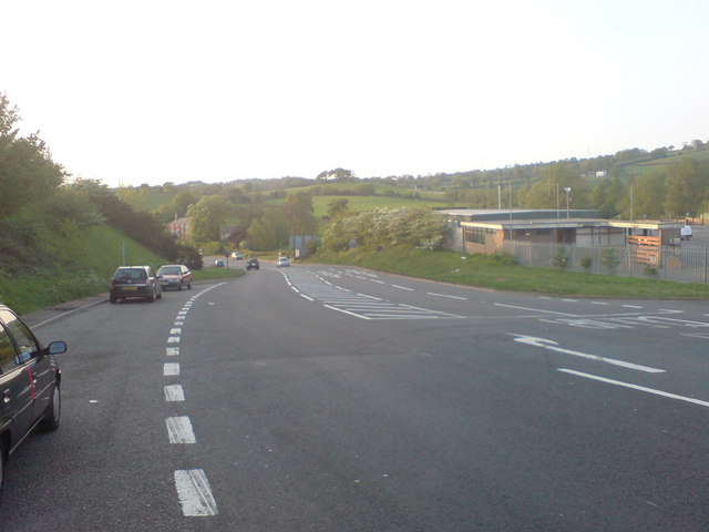
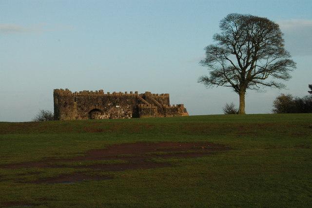
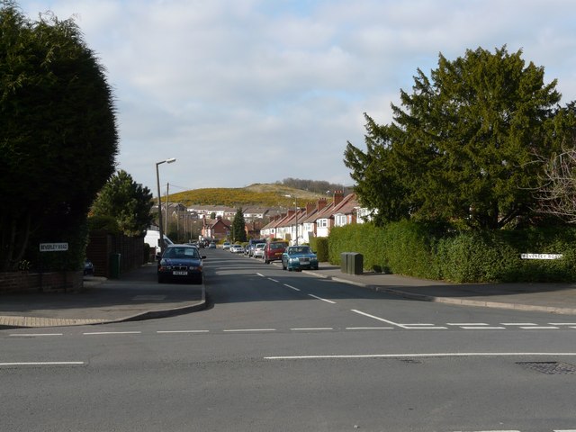
Rabbit Hill Plantation Images

Images are sourced within 2km of 52.391574/-2.0405865 or Grid Reference SO9777. Thanks to Geograph Open Source API. All images are credited.

The M5 skirts a hillock Seen from the lane that leads to Chadwich Grange.
The M5 skirts a hillock
Seen from the lane that leads to Chadwich Grange.
From Chapman's Hill The view towards Romsley Hill from the farm bridge over the M5.
From Chapman's Hill
The view towards Romsley Hill from the farm bridge over the M5.
Toposcope, Beacon Hill The toposcope on Beacon Hill (298m) was constructed in 1923 after Beacon Hill was donated to the City of Birmingham by the Cadbury family. The toposcope was restored in 1988. From this viewpoint on a good day 13 old counties can be seen. Going east from the summit there is no higher land at the same latitude until you reach the Ural Mountains in Russia (I've checked this using Google Earth).
Toposcope, Beacon Hill
The toposcope on Beacon Hill (298m) was constructed in 1923 after Beacon Hill was donated to the City of Birmingham by the Cadbury family. The toposcope was restored in 1988. From this viewpoint on a good day 13 old counties can be seen. Going east from the summit there is no higher land at the same latitude until you reach the Ural Mountains in Russia (I've checked this using Google Earth).
Beacon Hill Looking south-west towards the car park from near the toposcope.
Beacon Hill
Looking south-west towards the car park from near the toposcope.
Road junction , Rubery The junction of School Road, Gannow Road and Gunner Lane in the south west corner of the square, looking north east. Waseley Hills High School and Holywell Junior School are just to the left of the picture.
Road junction , Rubery
The junction of School Road, Gannow Road and Gunner Lane in the south west corner of the square, looking north east. Waseley Hills High School and Holywell Junior School are just to the left of the picture.
Redhill Lane Looking south west towards Redhill Farm. The M5 motorway can be seen climbing up towards junction 4.
Redhill Lane
Looking south west towards Redhill Farm. The M5 motorway can be seen climbing up towards junction 4.
Birmingham Road, Lydiate Ash This road was formerly the A38 - however this section has been bypassed as the A38 now runs via junction 4 of the M5, several hundred metres west. Birmingham, Road is now little more than a quiet country lane, albeit a very wide, straight and well surfaced one.
Birmingham Road, Lydiate Ash
This road was formerly the A38 - however this section has been bypassed as the A38 now runs via junction 4 of the M5, several hundred metres west. Birmingham, Road is now little more than a quiet country lane, albeit a very wide, straight and well surfaced one.
View south west from Windmill Hill, Waseley Hills Country Park Looking down a small valley from the footpath below the summit of the hill, late on a winter afternoon
View south west from Windmill Hill, Waseley Hills Country Park
Looking down a small valley from the footpath below the summit of the hill, late on a winter afternoon
Life in the slow lane Monday morning rush hour on the M5 just past junction 4 heading north
Life in the slow lane
Monday morning rush hour on the M5 just past junction 4 heading north
Farm Track Newtown Lane
Dayhouse Bank Turning for Frankley from B4551
Dayhouse Bank
Turning for Frankley from B4551
Edge of Housing Estate, Boleyn Road, Rubery
Manchester Inn on B4551
Sandy Lane (A461) looking NW
Beacon Hill Toposcope - Lickey Hills Country Park
Beverley Road with Cock Hill in the background
Leach Heath Medical Centre
St James School
St James School
Show me another place!

Rabbit Hill Plantation is located at Grid Ref: SO9777 (Lat: 52.391574, Lng: -2.0405865)

Administrative County: Worcestershire

District: Bromsgrove

Police Authority: West Mercia

What 3 Words

///proof.upgrading.shark. Near Romsley, Worcestershire

Related Wikis

Waseley Hills High School and Sixth Form Centre

Waseley Hills High School and Sixth Form Centre is a mixed secondary school and sixth form with academy status in the town of Rubery, on the border of...

Waseley Hills Country Park

Waseley Hills Country Park is 150 acres (0.61 km2) a Country Park and Local Nature Reserve owned and managed by Worcestershire County Council's Countryside...

Rubery

Rubery is a village in the Bromsgrove District and a suburb of Birmingham in the counties of Worcestershire and West Midlands, England. It is 9 miles...

St Chad's Church, Rubery

St Chad’s Church, Rubery is a Church of England parish church in Rubery, Worcestershire. == History == The church evolved in 1895 as a mission church from...

Lydiate Ash

Lydiate Ash is a hamlet in North Worcestershire, England, consisting of a few houses, the road gritting and works depot for Worcestershire County Council...

New Frankley

New Frankley in Birmingham is a civil parish in Birmingham, England. As such, it has its own parish council. == History == It was established in 2000 in...

Rubery Hill Hospital

Rubery Hill Hospital was a mental health facility in Birmingham, England. The Chapel, which still survives, is a Grade II listed building. == History... ==

King Edward VI Balaam Wood Academy

King Edward VI Balaam Wood Academy is a coeducational secondary school located in the New Frankley area of Birmingham, West Midlands, England.The school...

Nearby Amenities

Located within 500m of 52.391574,-2.0405865
Barrier: cattle_grid
Bicycle: yes
Foot: yes
Lat/Long: 52.3883949/-2.0420283
Fixme: continue
Lat/Long: 52.3885385/-2.0418002
Highfield Cottage
Landuse: farmyard
Lat/Long: 52.3894233/-2.0348313
Barrier: kissing_gate
Source: survey
Lat/Long: 52.3902886/-2.0344878
Barrier: stile
Lat/Long: 52.3927449/-2.0377547
Barrier: kissing_gate
Source: survey
Lat/Long: 52.3894639/-2.0385719
Man Made: pipeline_marker
Source: survey
Lat/Long: 52.3924201/-2.0373468
Barrier: kissing_gate
Source: survey
Lat/Long: 52.3933647/-2.0387704
Barrier: stile
Lat/Long: 52.3948298/-2.0379435
Holywell Hill
Natural: peak
Lat/Long: 52.3907919/-2.0370488
Barrier: kissing_gate
Lat/Long: 52.3925308/-2.0381737
Barrier: kissing_gate
Lat/Long: 52.3906143/-2.0347084
Bench
Backrest: yes
Material: wood
Lat/Long: 52.3896274/-2.0384555
Bench
Backrest: yes
Material: wood
Lat/Long: 52.3906925/-2.0358707
Barrier: kissing_gate
Lat/Long: 52.3923838/-2.0360641
Power: pole
Source: bing
Lat/Long: 52.3943652/-2.0350054
Power: pole
Source: bing
Lat/Long: 52.3937743/-2.0363787
Power: pole
Source: bing
Lat/Long: 52.3936074/-2.0374891
Power: pole
Source: bing
Lat/Long: 52.3934781/-2.0384359
Power: pole
Source: bing
Lat/Long: 52.3932718/-2.040005
Power: pole
Source: bing
Lat/Long: 52.3931327/-2.0413381
Power: pole
Source: bing
Lat/Long: 52.3929674/-2.0428535
Power: pole
Source: bing
Lat/Long: 52.3927857/-2.0444709
Power: pole
Ref: 721303
Source: wpd_open_data
Transformer: distribution
Lat/Long: 52.3928446/-2.0458522
The data included in this document is from www.openstreetmap.org. The data is made available under ODbL.

Have you been to Rabbit Hill Plantation?

Leave your review of Rabbit Hill Plantation below (or comments, questions and feedback).