Windmill Hill

Hill, Mountain in Worcestershire Bromsgrove

England

Windmill Hill

The M5 skirts a hillock Seen from the lane that leads to Chadwich Grange.
The M5 skirts a hillock Credit: Adrian Bailey

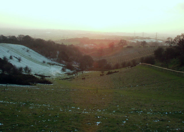
Windmill Hill, located in Worcestershire, is an iconic hill and a prominent landmark in the region. Situated near the village of Clent, this picturesque hill rises to an elevation of 272 meters (892 feet) above sea level. It is part of the Clent Hills, a range of hills known for their natural beauty and stunning panoramic views.

The name Windmill Hill originates from the presence of a windmill that once stood atop the hill. Although the windmill itself no longer exists, its legacy lives on in the name of the hill. The hill offers visitors a unique blend of natural beauty and historical significance.

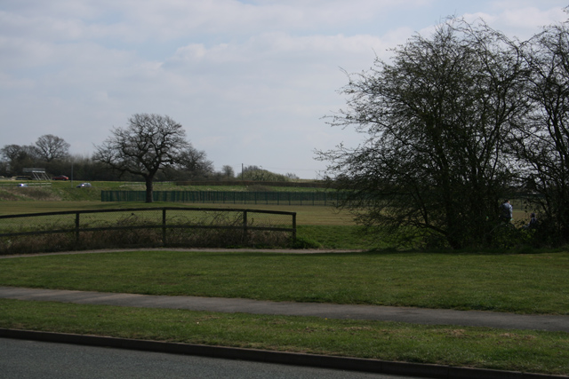
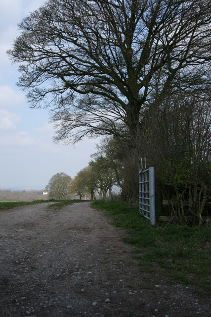
Covered in lush green vegetation, Windmill Hill is a haven for hikers, walkers, and nature enthusiasts. It boasts a network of well-maintained trails that meander through the scenic landscape, providing breathtaking views of the surrounding countryside. The hill is particularly renowned for its stunning vistas over the Clent Hills and the Worcestershire countryside, making it a popular spot for photographers and nature lovers alike.

Besides its natural beauty, Windmill Hill also holds historical importance. During the Iron Age, the hill was home to a hillfort, evidence of which can still be seen today. The remains of ancient ramparts and ditches serve as a reminder of the area's rich history and offer visitors a glimpse into the past.

Windmill Hill, Worcestershire, is a captivating destination that combines stunning natural landscapes with historical significance. Whether it's for a leisurely stroll, a challenging hike, or an exploration of its ancient history, this hill has something to offer for everyone.

If you have any feedback on the listing, please let us know in the comments section below.

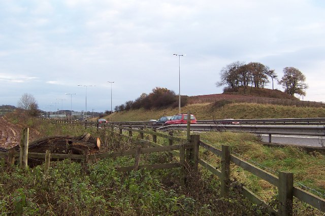
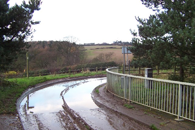
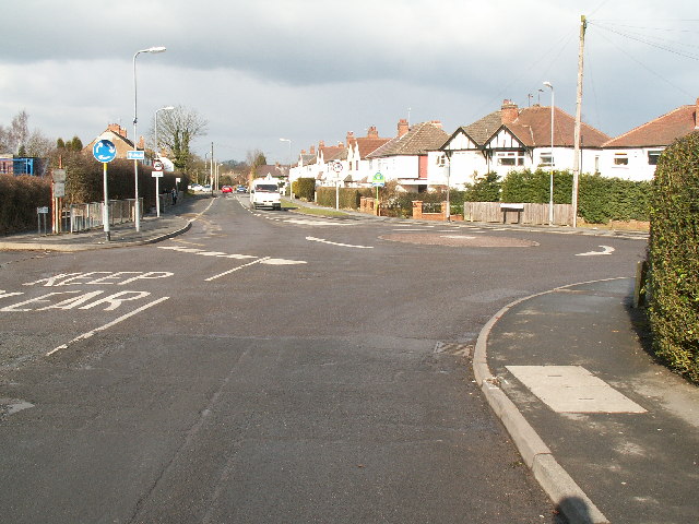
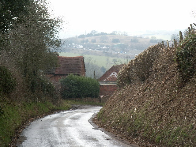
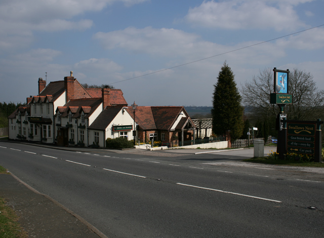
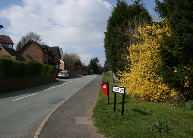
Windmill Hill Images

Images are sourced within 2km of 52.399009/-2.042019 or Grid Reference SO9777. Thanks to Geograph Open Source API. All images are credited.

The M5 skirts a hillock Seen from the lane that leads to Chadwich Grange.
The M5 skirts a hillock
Seen from the lane that leads to Chadwich Grange.
From Chapman's Hill The view towards Romsley Hill from the farm bridge over the M5.
From Chapman's Hill
The view towards Romsley Hill from the farm bridge over the M5.
Road junction , Rubery The junction of School Road, Gannow Road and Gunner Lane in the south west corner of the square, looking north east. Waseley Hills High School and Holywell Junior School are just to the left of the picture.
Road junction , Rubery
The junction of School Road, Gannow Road and Gunner Lane in the south west corner of the square, looking north east. Waseley Hills High School and Holywell Junior School are just to the left of the picture.
Redhill Lane Looking south west towards Redhill Farm. The M5 motorway can be seen climbing up towards junction 4.
Redhill Lane
Looking south west towards Redhill Farm. The M5 motorway can be seen climbing up towards junction 4.
Water Tower, Romsley Hill Located on the south side of Farley Lane at the top of the hill.
Water Tower, Romsley Hill
Located on the south side of Farley Lane at the top of the hill.
View south west from Windmill Hill, Waseley Hills Country Park Looking down a small valley from the footpath below the summit of the hill, late on a winter afternoon
View south west from Windmill Hill, Waseley Hills Country Park
Looking down a small valley from the footpath below the summit of the hill, late on a winter afternoon
Life in the slow lane Monday morning rush hour on the M5 just past junction 4 heading north
Life in the slow lane
Monday morning rush hour on the M5 just past junction 4 heading north
Arden Business Park
Arden Business Park
Boleyn Road Common Land
Boleyn Road
Common Land
Dismantled Railway Bridge Junction of Newtown Lane, Oxwood Lane and Yew Tree Lane
Dismantled Railway Bridge
Junction of Newtown Lane, Oxwood Lane and Yew Tree Lane
Farm Track Newtown Lane
Dayhouse Bank Turning for Frankley from B4551
Dayhouse Bank
Turning for Frankley from B4551
Swallow's Nest Pub, Romsley
Path adjoining Bus Stop, Arden Road Rubery
Edge of Housing Estate, Boleyn Road, Rubery
Pound Lane, Frankley Hill
Manchester Inn on B4551
Poplar Lane, Romsley
Show me another place!

Windmill Hill is located at Grid Ref: SO9777 (Lat: 52.399009, Lng: -2.042019)

Administrative County: Worcestershire

District: Bromsgrove

Police Authority: West Mercia

What 3 Words

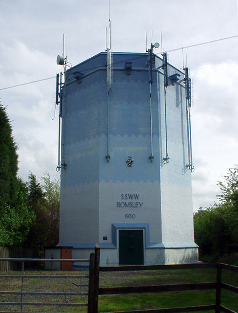
///circle.dome.voters. Near Romsley, Worcestershire

Related Wikis

Waseley Hills Country Park

Waseley Hills Country Park is 150 acres (0.61 km2) a Country Park and Local Nature Reserve owned and managed by Worcestershire County Council's Countryside...

Waseley Hills High School and Sixth Form Centre

Waseley Hills High School and Sixth Form Centre is a mixed secondary school and sixth form with academy status in the town of Rubery, on the border of...

New Frankley

New Frankley in Birmingham is a civil parish in Birmingham, England. As such, it has its own parish council. == History == It was established in 2000 in...

St Chad's Church, Rubery

St Chad’s Church, Rubery is a Church of England parish church in Rubery, Worcestershire. == History == The church evolved in 1895 as a mission church from...

Rubery

Rubery is a village in the Bromsgrove District and a suburb of Birmingham in the counties of Worcestershire and West Midlands, England. It is 9 miles...

King Edward VI Balaam Wood Academy

King Edward VI Balaam Wood Academy is a coeducational secondary school located in the New Frankley area of Birmingham, West Midlands, England.The school...

Rubery railway station

Rubery railway station was a railway station in Rubery, Birmingham, England, on the Great Western Railway and Midland Railway's joint Halesowen Railway...

Rubery Hill Hospital

Rubery Hill Hospital was a mental health facility in Birmingham, England. The Chapel, which still survives, is a Grade II listed building. == History... ==

Nearby Amenities

Located within 500m of 52.399009,-2.042019
Bench
Source: survey
Lat/Long: 52.3999947/-2.0403096
Leisure: playground
Source: survey
Lat/Long: 52.4012593/-2.0419354
Waseley Hills- Visitor Centre
Naptan AtcoCode: 2000G103500
Naptan Bearing: W
Naptan CommonName: Waseley Hills- Visitor Centre
Naptan Indicator: Adj
Naptan Landmark: Visitor Centre
Naptan NaptanCode: wocdmwmp
Naptan Street: Gannow Green Lane
Note: nothing marked on the ground
Source: naptan_import
Lat/Long: 52.4019926/-2.0428315
Bicycle Parking
Lat/Long: 52.401846/-2.0431266
Tourism: picnic_site
Lat/Long: 52.4015918/-2.0429372
Fixme: continue
Lat/Long: 52.3957343/-2.0374242
Recycling
Recycling Glass: yes
Lat/Long: 52.4017002/-2.042024
Power: tower
Source: Bing
Lat/Long: 52.3978011/-2.0485401
Power: tower
Source: Bing
Lat/Long: 52.4016376/-2.0388541
Power: tower
Source: Bing
Lat/Long: 52.3996134/-2.0439676
Barrier: kissing_gate
Source: survey
Lat/Long: 52.3965073/-2.0386338
Barrier: stile
Source: survey
Lat/Long: 52.3997515/-2.0433799
Windmill Hill
Man Made: toposcope
Tourism: viewpoint
Lat/Long: 52.3990674/-2.0422354
Bench
Lat/Long: 52.3985896/-2.0423205
Bench
Lat/Long: 52.3988112/-2.0424453
Bench
Lat/Long: 52.3990674/-2.0426836
Source of the River Rea
Natural: spring
Source: survey
Lat/Long: 52.4000961/-2.0400677
Barrier: kissing_gate
Source: survey
Lat/Long: 52.3977177/-2.0406521
Barrier: kissing_gate
Source: survey
Lat/Long: 52.400144/-2.0401784
Information: guidepost
Source: survey
Tourism: information
Lat/Long: 52.4007176/-2.0446584
Barrier: kissing_gate
Source: survey
Lat/Long: 52.4007524/-2.0447848
Tourism: picnic_site
Lat/Long: 52.4019361/-2.043209
Waseley Hill
Natural: peak
Lat/Long: 52.3963701/-2.0401923
Windmill Hill
Natural: peak
Lat/Long: 52.3992112/-2.0424025
Barrier: kissing_gate
Lat/Long: 52.3968412/-2.0381986
Power: pole
Source: bing
Lat/Long: 52.3981083/-2.0491487
Power: pole
Source: bing
Lat/Long: 52.3988079/-2.0490333
Power: pole
Source: bing
Lat/Long: 52.3995665/-2.0489247
Power: pole
Source: bing
Lat/Long: 52.4002014/-2.0488389
Power: pole
Ref: 721276
Source: wpd_open_data
Transformer: distribution
Lat/Long: 52.4006529/-2.0487596
Power: pole
Source: bing
Lat/Long: 52.4028591/-2.0390233
Power: pole
Ref: 730221
Source: wpd_open_data
Transformer: distribution
Lat/Long: 52.4019787/-2.0408365
Power: pole
Source: bing
Lat/Long: 52.4024811/-2.0398173
Natural: spring
Lat/Long: 52.3966591/-2.0381027
The data included in this document is from www.openstreetmap.org. The data is made available under ODbL.

Have you been to Windmill Hill?

Leave your review of Windmill Hill below (or comments, questions and feedback).