Billy's Hill
Hill, Mountain in Staffordshire Stafford
England
Billy's Hill
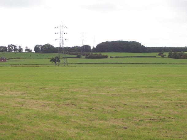
Billy's Hill is a prominent geographical feature situated in Staffordshire, England. Located near the town of Leek, it is classified as a hill rather than a mountain, as it falls just short of the 2,000-foot threshold usually used to distinguish between the two.
The hill is named after Billy, a local farmer who once owned the land. It is a popular destination for hikers and outdoor enthusiasts due to its picturesque scenery and breathtaking views. From the summit, visitors can marvel at the panoramic vistas of the Staffordshire Moorlands, the Peak District, and the Cheshire Plain.
The terrain of Billy's Hill is characterized by its gentle slopes and rolling grassland, making it relatively accessible for walkers of various skill levels. There are several well-marked trails and footpaths that wind their way up the hill, offering visitors the opportunity to explore the area's natural beauty. The hill is also home to a diverse range of flora and fauna, including heather, gorse, and various species of birds.
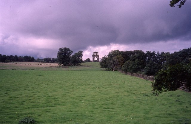
Additionally, Billy's Hill holds historical significance. It is believed to have been an important site during the Bronze Age, with archaeological evidence indicating the presence of ancient settlements and burial mounds in the vicinity. The hill's strategic location has likely made it a vantage point for centuries, attracting human activity and settlement throughout history.
Overall, Billy's Hill is a cherished natural landmark that offers both recreational opportunities and a glimpse into the region's rich history. Its accessibility, stunning views, and historical significance make it a must-visit destination for nature lovers and history enthusiasts alike.
If you have any feedback on the listing, please let us know in the comments section below.
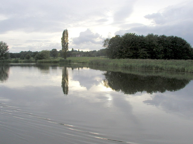
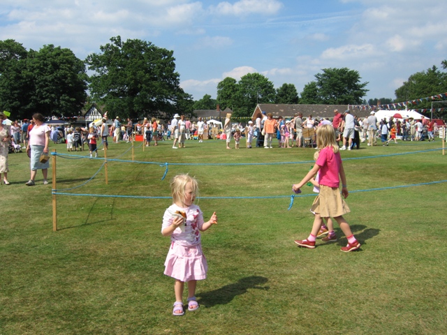
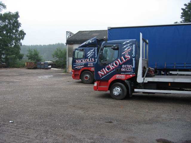
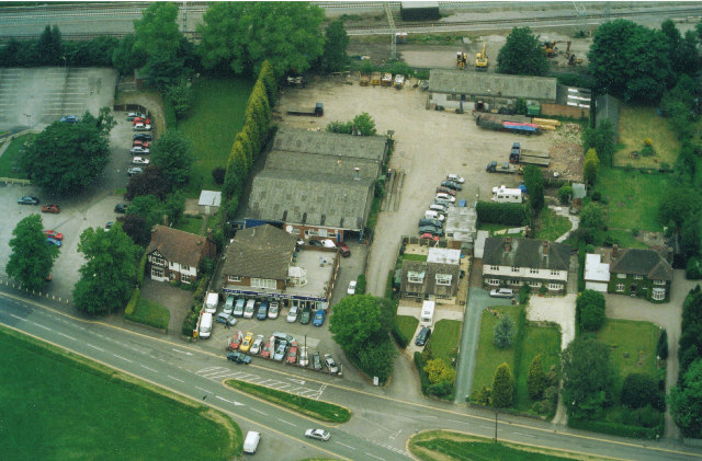
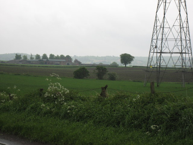
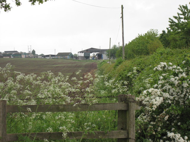
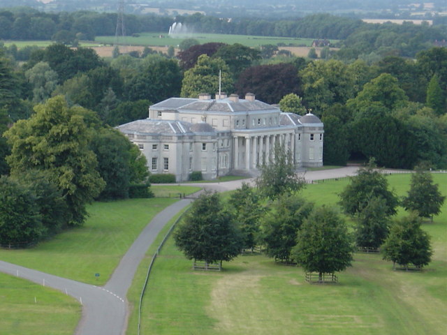
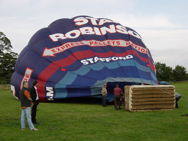
Billy's Hill Images
Images are sourced within 2km of 52.800609/-2.0423926 or Grid Reference SJ9722. Thanks to Geograph Open Source API. All images are credited.


Billy's Hill is located at Grid Ref: SJ9722 (Lat: 52.800609, Lng: -2.0423926)
Administrative County: Staffordshire
District: Stafford
Police Authority: Staffordshire
What 3 Words
///slip.tester.lamp. Near Great Haywood, Staffordshire
Nearby Locations
Related Wikis

Tixall
Tixall is a small village and civil parish in the Stafford district, in the English county of Staffordshire lying on the western side of the Trent valley...

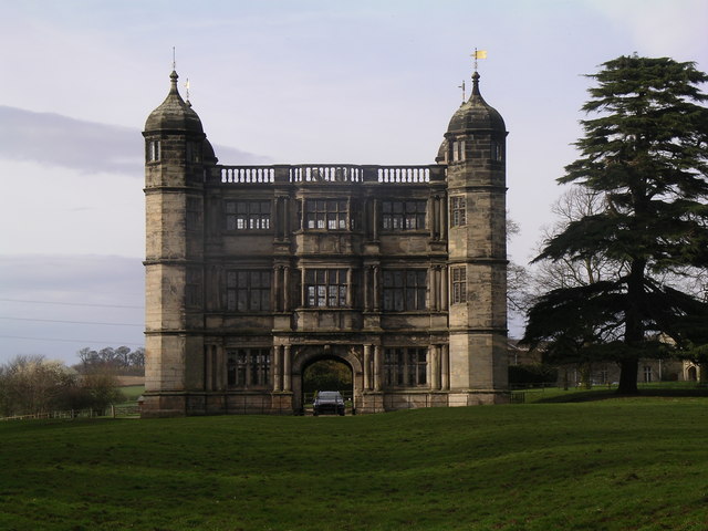
Tixall Gatehouse
Tixall Gatehouse is a 16th-century gatehouse situated at Tixall, near Stafford, Staffordshire and is all that remains of Tixall Hall which was demolished...

Tixall Wide
Tixall Wide, also known as Tixall Broad or The Broad Water, is a body of water that forms part of the Staffordshire and Worcestershire Canal near Tixall...

Milford and Brocton railway station
Milford and Brocton railway station served the villages of Milford and Brocton in Staffordshire, England from 1877 to 1950 on the Trent Valley line....

Way for the Millennium
The Way for the Millennium is a 41-mile-long (66 km) east–west route across Staffordshire, deliberately designed for easy walking, using towpaths, old...

Shugborough Tunnel
The Shugborough Tunnel is a 777-yard (710 m) railway tunnel on the Trent Valley line running under part of the Shugborough Estate in Colwich, Staffordshire...

Milford, Staffordshire
Milford is a village in the county of Staffordshire, England. It lies at the edge of Cannock Chase, on the A513 road between Stafford and Rugeley. Just...

Milford Hall
Milford Hall is a privately owned 18th-century English country house at Milford, near Stafford. It is the family seat of the Levett Haszard family and...
Related Videos

Product Preview: On Cloudwander & Cloudtrax Hiking Boots / Shoes | Run and Ride
On Cloudtrax Walking Boot // Designed for both street and mountain peak, this hiking boot is engineered to give you ideal comfort ...

Narrowboat Holidays - Hiring A Canal Boat In The UK | Quest Vlog #24
Ever wanted to hire a canal boat and take a leisurely cruise through the UK countryside? We asked Anglo Welsh, our favourite ...

He Called My Wife A Slag 😳 Hiking & Cooking Chinese Curry At Shugborough Estate 🥾🔥🍛
Welcome back .... In this episode I take you on a hike through the Shugborough Estate in Staffordshire. Along the way, I chat ...

SHUGBOROUGH ESTATE #nationaltrust#walking #explore #shrugburgh #daytrip #estate
The Shugborough Estate is a rich blend of landscape,monuments,gardens,and architecture shaped by travel and adventure.
Nearby Amenities
Located within 500m of 52.800609,-2.0423926Have you been to Billy's Hill?
Leave your review of Billy's Hill below (or comments, questions and feedback).