Berry Hill
Hill, Mountain in Staffordshire Stafford
England
Berry Hill
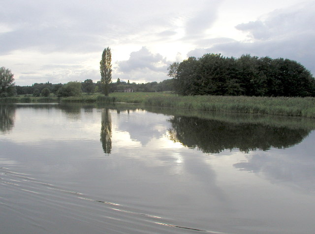
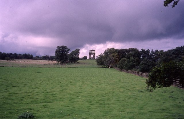
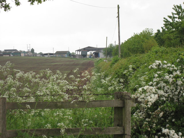
Berry Hill is a small hill located in the county of Staffordshire, England. Situated near the town of Stoke-on-Trent, it is part of the larger Staffordshire Moorlands district. Despite its name, Berry Hill is not a mountain but rather a modestly sized hill that reaches an elevation of around 235 meters (770 feet) above sea level.
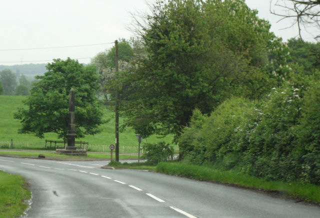
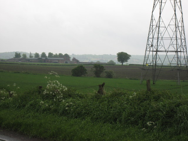
The hill is known for its picturesque surroundings and verdant landscape, offering panoramic views of the Staffordshire countryside. It is covered in lush vegetation, including grasses, heather, and various species of trees. The area is popular among nature enthusiasts and hikers who enjoy exploring its tranquil trails and taking in the breathtaking vistas.
Berry Hill is also home to a variety of wildlife, including birds, rabbits, and deer, which can often be spotted amidst the trees and fields. The hill is part of the Staffordshire Wildlife Trust, an organization dedicated to the conservation and preservation of the region's natural habitats.
In addition to its natural beauty, Berry Hill has a rich history. It is believed to have been inhabited since prehistoric times, with archaeological evidence suggesting human activity in the area dating back thousands of years. The hill also played a role in the Industrial Revolution, with coal mining being a significant industry in the region.
Overall, Berry Hill in Staffordshire offers a peaceful retreat for those seeking to connect with nature and explore the area's historical roots.
If you have any feedback on the listing, please let us know in the comments section below.
Berry Hill Images
Images are sourced within 2km of 52.795691/-2.0437819 or Grid Reference SJ9722. Thanks to Geograph Open Source API. All images are credited.


Berry Hill is located at Grid Ref: SJ9722 (Lat: 52.795691, Lng: -2.0437819)
Administrative County: Staffordshire
District: Stafford
Police Authority: Staffordshire
What 3 Words
///latter.foam.tidy. Near Great Haywood, Staffordshire
Nearby Locations
Related Wikis

Milford and Brocton railway station
Milford and Brocton railway station served the villages of Milford and Brocton in Staffordshire, England from 1877 to 1950 on the Trent Valley line....

Milford, Staffordshire
Milford is a village in the county of Staffordshire, England. It lies at the edge of Cannock Chase, on the A513 road between Stafford and Rugeley. Just...

Tixall
Tixall is a small village and civil parish in the Stafford district, in the English county of Staffordshire lying on the western side of the Trent valley...

Milford Hall
Milford Hall is a privately owned 18th-century English country house at Milford, near Stafford. It is the family seat of the Levett Haszard family and...

Shugborough Tunnel
The Shugborough Tunnel is a 777-yard (710 m) railway tunnel on the Trent Valley line running under part of the Shugborough Estate in Colwich, Staffordshire...

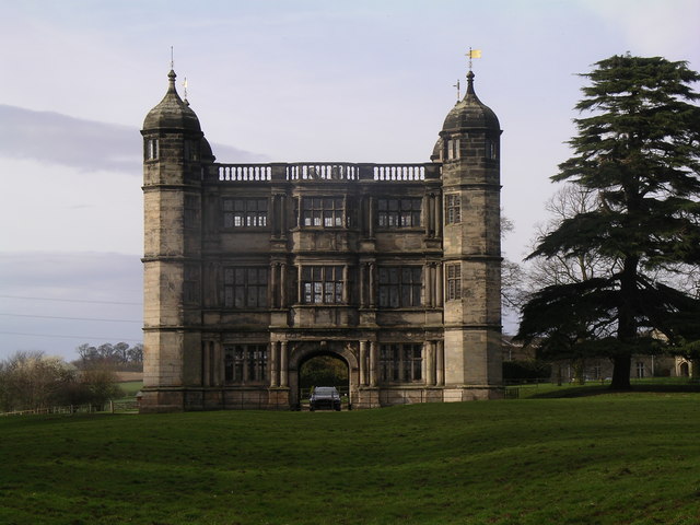
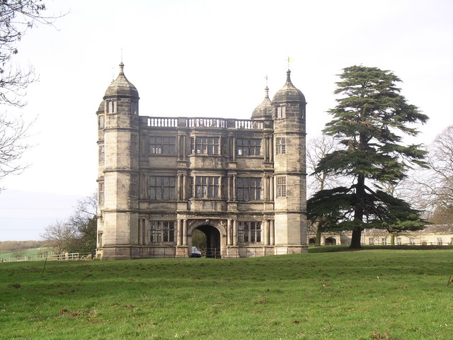
Tixall Gatehouse
Tixall Gatehouse is a 16th-century gatehouse situated at Tixall, near Stafford, Staffordshire and is all that remains of Tixall Hall which was demolished...

Tixall Wide
Tixall Wide, also known as Tixall Broad or The Broad Water, is a body of water that forms part of the Staffordshire and Worcestershire Canal near Tixall...

Way for the Millennium
The Way for the Millennium is a 41-mile-long (66 km) east–west route across Staffordshire, deliberately designed for easy walking, using towpaths, old...
Related Videos

Product Preview: On Cloudwander & Cloudtrax Hiking Boots / Shoes | Run and Ride
On Cloudtrax Walking Boot // Designed for both street and mountain peak, this hiking boot is engineered to give you ideal comfort ...

Narrowboat Holidays - Hiring A Canal Boat In The UK | Quest Vlog #24
Ever wanted to hire a canal boat and take a leisurely cruise through the UK countryside? We asked Anglo Welsh, our favourite ...

He Called My Wife A Slag 😳 Hiking & Cooking Chinese Curry At Shugborough Estate 🥾🔥🍛
Welcome back .... In this episode I take you on a hike through the Shugborough Estate in Staffordshire. Along the way, I chat ...

SHUGBOROUGH ESTATE #nationaltrust#walking #explore #shrugburgh #daytrip #estate
The Shugborough Estate is a rich blend of landscape,monuments,gardens,and architecture shaped by travel and adventure.
Nearby Amenities
Located within 500m of 52.795691,-2.0437819Have you been to Berry Hill?
Leave your review of Berry Hill below (or comments, questions and feedback).