Trow Down
Hill, Mountain in Wiltshire
England
Trow Down
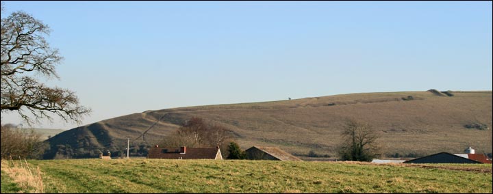
Trow Down is a small hill located in the county of Wiltshire, England. It is situated approximately 5 miles northwest of the town of Devizes and stands at an elevation of around 225 meters (738 feet) above sea level. Though not classified as a mountain, it is often referred to as Trow Down Mountain due to its prominence and distinctive appearance in the surrounding landscape.
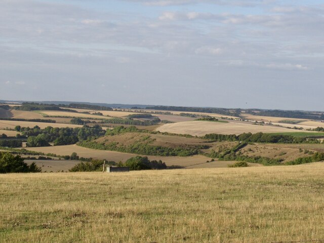
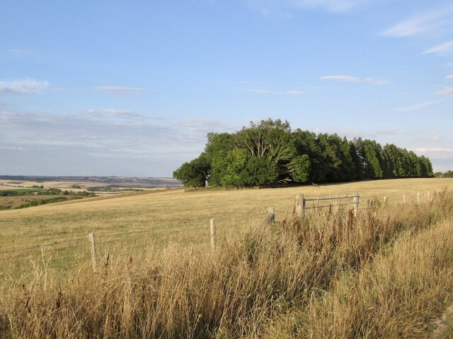
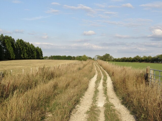
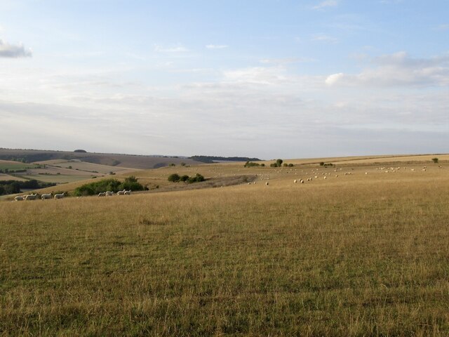
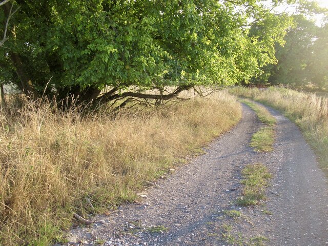
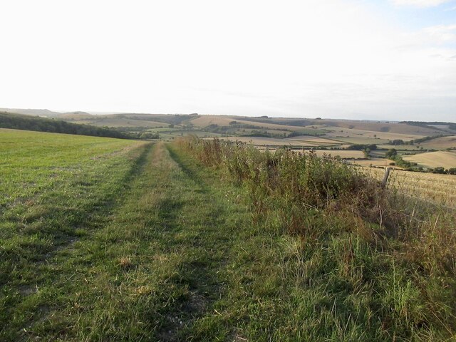
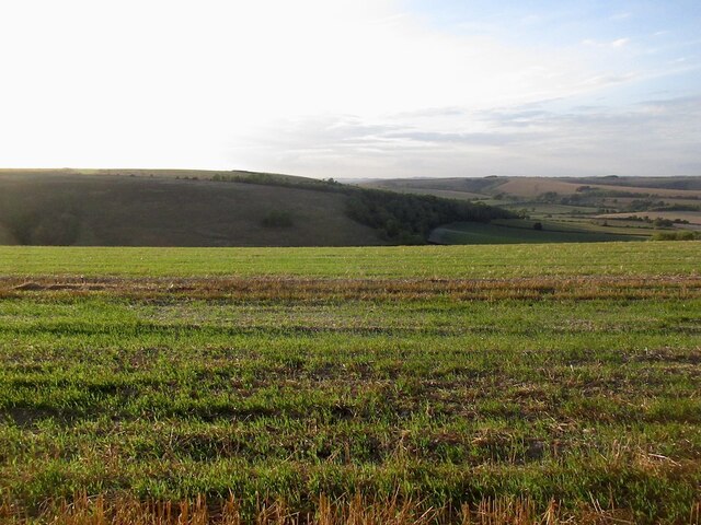
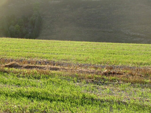
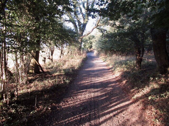
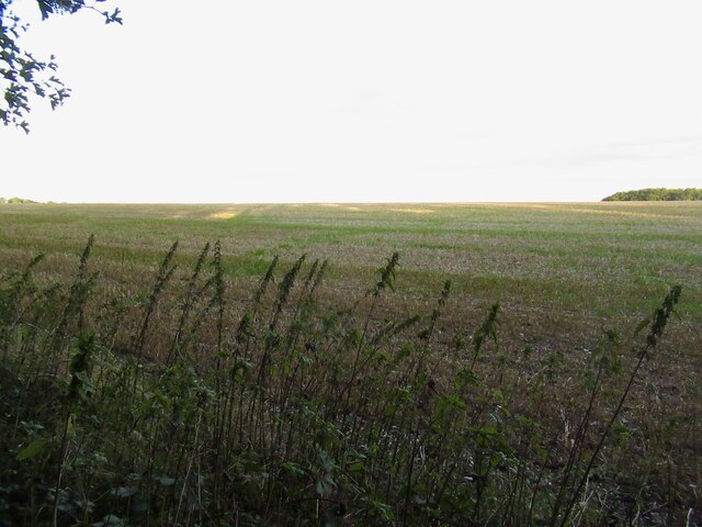
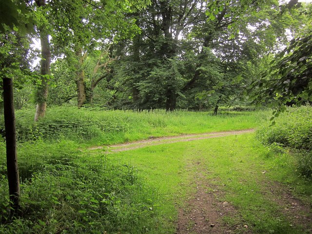
The hill is predominantly covered in grass and scattered with a few patches of trees. Its slopes are relatively gentle, making it accessible to hikers and walkers of varying abilities. From the summit, visitors are rewarded with panoramic views of the picturesque Wiltshire countryside, including the nearby villages of Easterton and Market Lavington.
Trow Down has historical significance as well. It is believed to have been used as an Iron Age hillfort, serving as a defensive structure during ancient times. The remnants of earthworks and ditches can still be seen today, providing a glimpse into the hill's past.
The area surrounding Trow Down is also rich in wildlife, with several species of birds, butterflies, and small mammals calling it home. It is a popular spot for nature enthusiasts and birdwatchers alike.
Overall, Trow Down offers a pleasant and accessible outdoor experience for those seeking a leisurely hike, scenic views, or an opportunity to explore a historical site in the beautiful Wiltshire countryside.
If you have any feedback on the listing, please let us know in the comments section below.
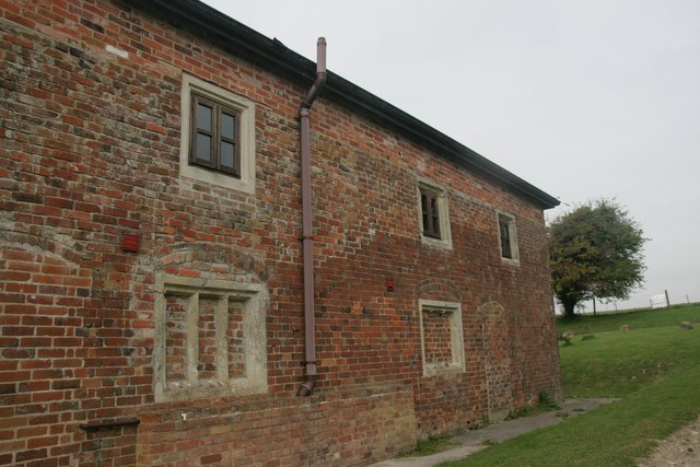
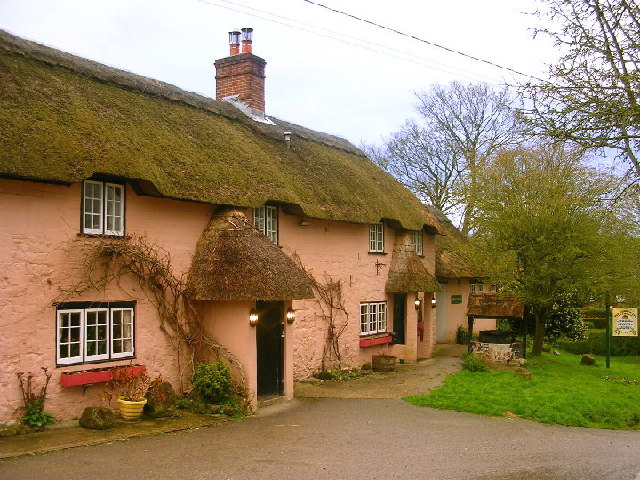
Trow Down Images
Images are sourced within 2km of 50.994841/-2.0420839 or Grid Reference ST9721. Thanks to Geograph Open Source API. All images are credited.


Trow Down is located at Grid Ref: ST9721 (Lat: 50.994841, Lng: -2.0420839)
Unitary Authority: Wiltshire
Police Authority: Wiltshire
What 3 Words
///scrub.called.tailing. Near Ansty, Wiltshire
Nearby Locations
Related Wikis

Pincombe Down
Pincombe Down (grid reference ST966217) is a 23.8 hectare biological Site of Special Scientific Interest in southwest Wiltshire, England, notified in 1971...

Alvediston Manor
Alvediston Manor, Alvediston, Wiltshire, England is an 18th-century house. From 1968 until his death in 1977, it was the home of the former prime minister...
Winklebury Hill
Winkelbury Hill (grid reference ST952216) is a 62.95 hectare biological Site of Special Scientific Interest in Berwick St John parish, south-west Wiltshire...
Alvediston
Alvediston is a small village and civil parish in Wiltshire, England, about 7 miles (11 km) east of Shaftesbury and 11 miles (18 km) southwest of Salisbury...
Nearby Amenities
Located within 500m of 50.994841,-2.0420839Have you been to Trow Down?
Leave your review of Trow Down below (or comments, questions and feedback).