Trow Clump
Wood, Forest in Wiltshire
England
Trow Clump
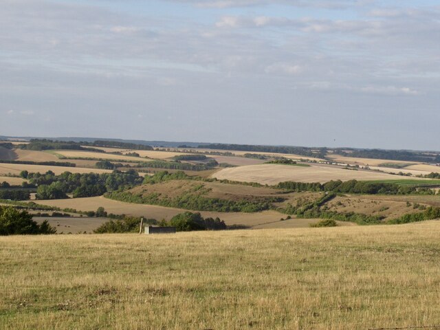
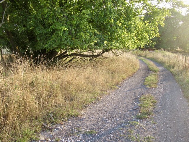
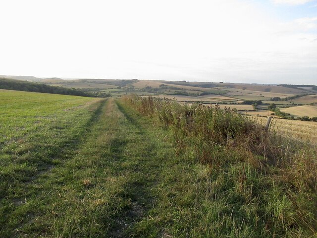
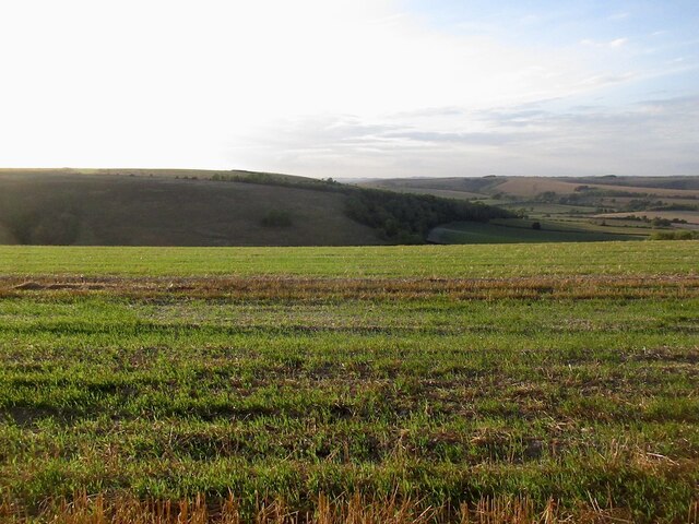
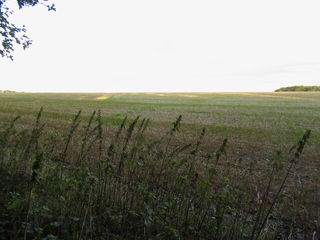
Trow Clump is a picturesque woodland located in the county of Wiltshire, England. Situated near the village of Collingbourne Ducis, this forested area covers approximately 40 acres and offers a tranquil escape from the hustle and bustle of urban life.
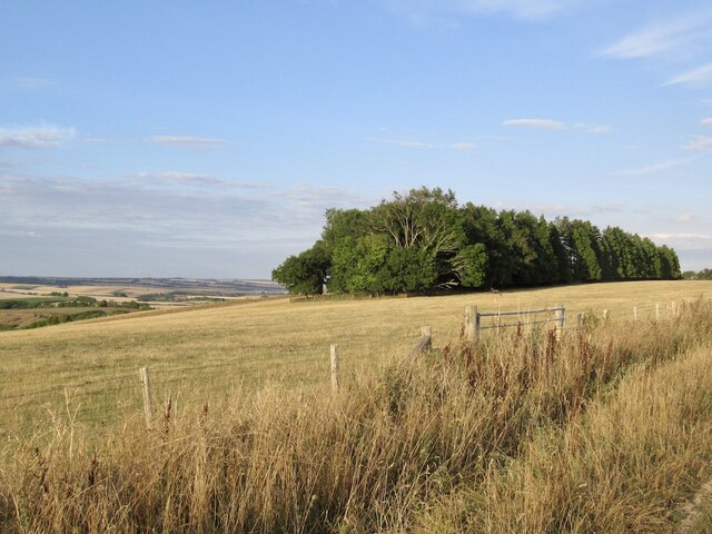
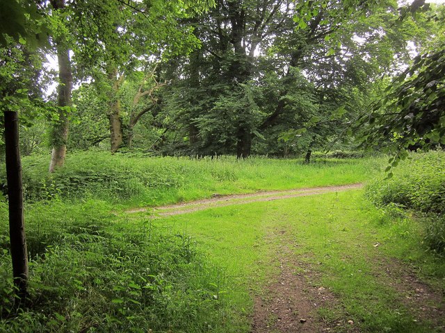
The woodland is predominantly composed of native broadleaf species such as oak, ash, and beech trees, creating a rich and diverse habitat for various flora and fauna. The dense canopy provides a sheltered environment for an array of woodland plants, including bluebells, primroses, and ferns, which create a stunning display in the spring and summer months.
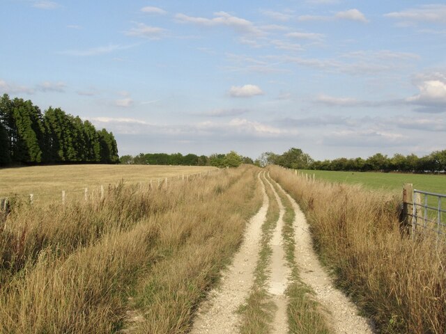
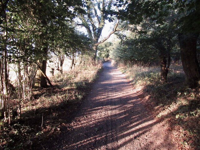
Trow Clump is renowned for its serene walking trails, which wind through the forest, allowing visitors to immerse themselves in the natural beauty of the surroundings. The paths are well-maintained and suitable for all ages and abilities, making it an ideal location for family outings or peaceful solitary walks.
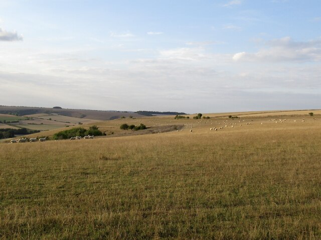
Wildlife enthusiasts will also find much to discover in Trow Clump. The forest is home to a variety of bird species, including woodpeckers, nuthatches, and tawny owls. Small mammals such as badgers, foxes, and squirrels can be spotted among the undergrowth, while the occasional deer may be glimpsed darting through the trees.
Trow Clump is a popular destination for nature lovers and those seeking tranquility in a natural setting. Its scenic beauty, diverse flora and fauna, and well-maintained trails make it an idyllic woodland retreat in the heart of Wiltshire.
If you have any feedback on the listing, please let us know in the comments section below.
Trow Clump Images
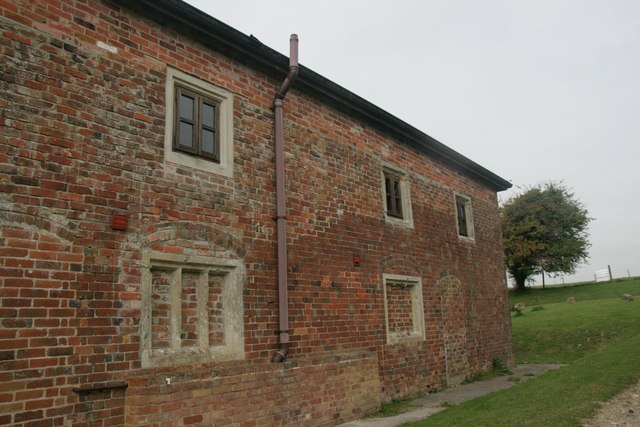
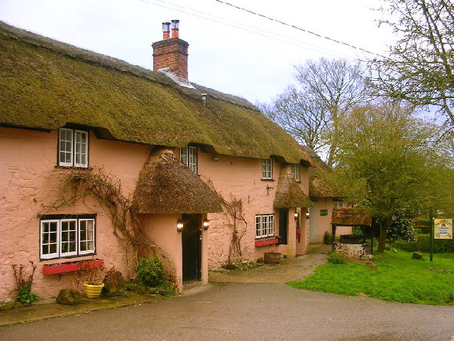
Images are sourced within 2km of 50.995416/-2.0426544 or Grid Reference ST9721. Thanks to Geograph Open Source API. All images are credited.


Trow Clump is located at Grid Ref: ST9721 (Lat: 50.995416, Lng: -2.0426544)
Unitary Authority: Wiltshire
Police Authority: Wiltshire
What 3 Words
///downs.narrate.doctors. Near Ansty, Wiltshire
Nearby Locations
Related Wikis

Pincombe Down
Pincombe Down (grid reference ST966217) is a 23.8 hectare biological Site of Special Scientific Interest in southwest Wiltshire, England, notified in 1971...

Alvediston Manor
Alvediston Manor, Alvediston, Wiltshire, England is an 18th-century house. From 1968 until his death in 1977, it was the home of the former prime minister...

Winkelbury Camp
Winkelbury Camp is an Iron Age hillfort, a short distance south-east of the village of Berwick St John, in Wiltshire, England. It is a scheduled monument...
Alvediston
Alvediston is a small village and civil parish in Wiltshire, England, about 7 miles (11 km) east of Shaftesbury and 11 miles (18 km) southwest of Salisbury...
Nearby Amenities
Located within 500m of 50.995416,-2.0426544Have you been to Trow Clump?
Leave your review of Trow Clump below (or comments, questions and feedback).