Judy's Wood

Wood, Forest in Northumberland

England

Judy's Wood

Ground working, Ord Next year's crop being prepared.
Ground working, Ord Credit: Richard Webb

Judy's Wood, located in Northumberland, is a picturesque woodland area renowned for its natural beauty and tranquility. Spanning over a vast expanse of land, this forested area offers visitors a unique opportunity to immerse themselves in the wonders of nature.

The wood is named after Judy, a legendary figure who was believed to have been an herbalist and healer in the area many centuries ago. According to local folklore, it is said that Judy's spirit continues to watch over the wood, imbuing it with a sense of mystique and enchantment.

Judy's Wood boasts a diverse range of indigenous tree species, including oak, beech, and birch, which form a dense canopy overhead. This creates a shaded and cool environment, perfect for leisurely walks and exploration. The forest floor is carpeted with a rich variety of wildflowers, making it an ideal habitat for numerous species of insects, birds, and small mammals.

Visitors to Judy's Wood can enjoy a plethora of activities. Walking trails wind their way through the forest, leading to hidden clearings and secluded picnic spots. Birdwatchers can delight in the opportunity to spot rare and migratory birds, while nature enthusiasts can observe the delicate ecosystem that thrives within the wood.

The wood is also home to a diverse range of wildlife, including deer, foxes, and squirrels. Nature lovers can observe these creatures in their natural habitat, providing a unique opportunity for wildlife photography and observation.

Judy's Wood, with its natural splendor and tranquil atmosphere, offers visitors a chance to escape the hustle and bustle of modern life and reconnect with the serenity of the natural world.

If you have any feedback on the listing, please let us know in the comments section below.
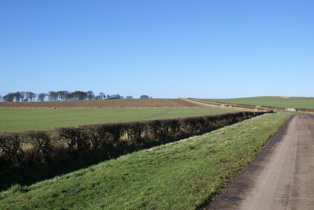
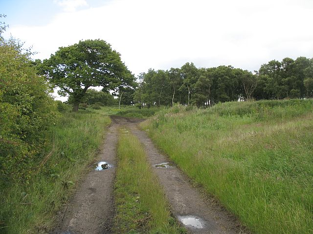
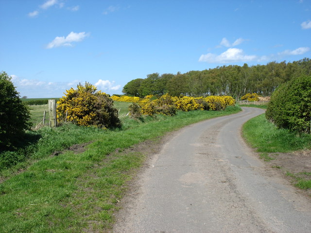
Judy's Wood Images

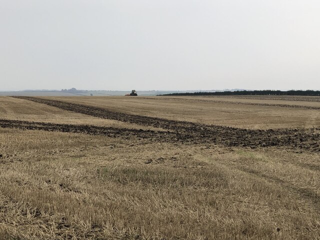
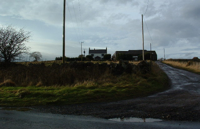
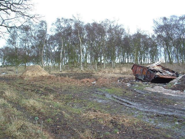
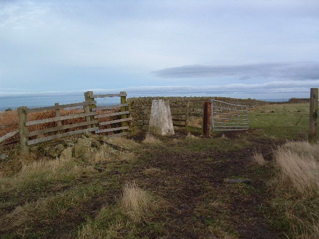
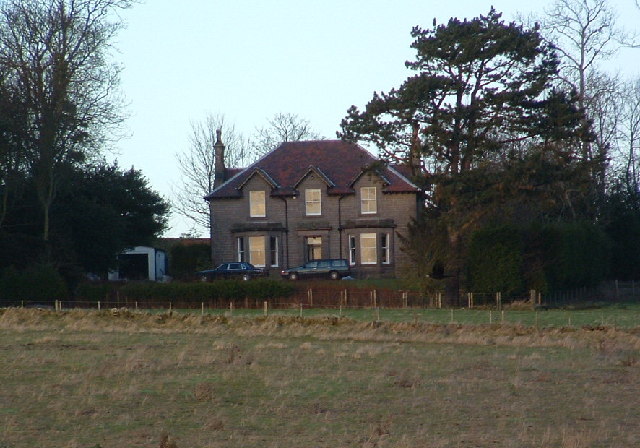
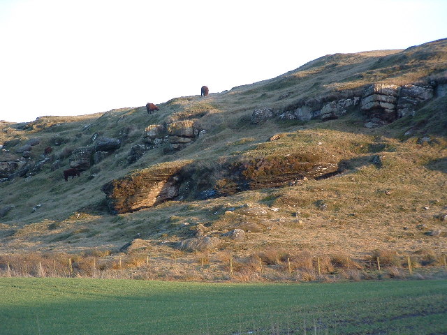
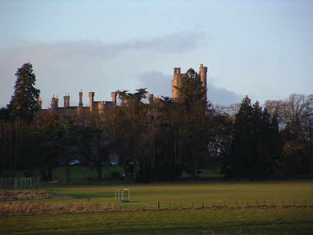
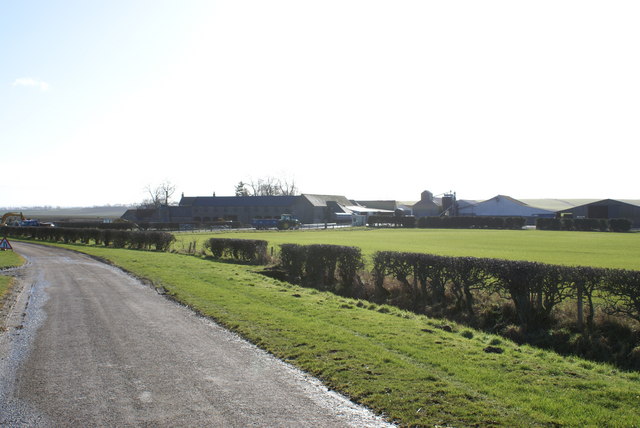
Images are sourced within 2km of 55.748702/-2.0477329 or Grid Reference NT9750. Thanks to Geograph Open Source API. All images are credited.

Ground working, Ord Next year's crop being prepared.
Ground working, Ord
Next year's crop being prepared.
Billylaw Farm An exposed site on the hilltop, but no roadside name sign. I'm sure the farm will look much more inviting on a sunny day.
Billylaw Farm
An exposed site on the hilltop, but no roadside name sign. I'm sure the farm will look much more inviting on a sunny day.
The Kells I don't know what "The Kells" means maybe it's farm speak for dump! The area lies between two arable fields but it is very boggy and has a small fenced off pond near the top. There is also a trig point at the very top.
The Kells
I don't know what "The Kells" means maybe it's farm speak for dump! The area lies between two arable fields but it is very boggy and has a small fenced off pond near the top. There is also a trig point at the very top.
Trig Point Billylaw Another Dalek turned to stone (well concrete) by Dr. Who!
Trig Point Billylaw
Another Dalek turned to stone (well concrete) by Dr. Who!
Murton Whitehouse No idea why "Whitehouse" because it ain't. Maybe at some time they thought they would gild the lily.
Murton Whitehouse
No idea why "Whitehouse" because it ain't. Maybe at some time they thought they would gild the lily.
Murton High Crags Cattle grazing peacefully on a sunny day, in the late afternoon. The "herd" said as he parked his quad and locked the gate "it's a lovely view", and that from a man who probably sees it every day!
Murton High Crags
Cattle grazing peacefully on a sunny day, in the late afternoon. The "herd" said as he parked his quad and locked the gate "it's a lovely view", and that from a man who probably sees it every day!
Longridge Towers Private School Once the home of Lord and Lady Jerningham, then a convent school and now a private school. There is a statue of lady Jerningham on Bankhill in Berwick.
Longridge Towers Private School
Once the home of Lord and Lady Jerningham, then a convent school and now a private school. There is a statue of lady Jerningham on Bankhill in Berwick.
Murton Farm
Murton Farm
The Kells Woodland in summer. Motorbikes active near the top of the hill.
The Kells
Woodland in summer. Motorbikes active near the top of the hill.
Stubble, West Longridge
A698, Marian House Heading north east towards Berwick.
A698, Marian House
Heading north east towards Berwick.
Minor road to Middle Ord
Farmland south of Berwick-upon-Tweed
Old Milepost by the B6354, north of Billylaw, Ord parish Cast iron post by the B6354, in parish of ORD (BERWICK UPON TWEED District), Billylaw, 300m South of South Ord, on grass verge against wall, on Northwest side of road. Patterson twin ovals iron post, erected by the Deanburn Bridge, Berwick, Cornhill turnpike trust in the 19th century. 

Inscription reads:-
: BER / 2 / MILES : : ETAL / 8 / MILES :
Maker:-
: SMITH PATTERSON / BLAYDON :

Grade II listed.  
List Entry Number: 1155092 <span class="nowrap"><a title="https://historicengland.org.uk/listing/the-list/list-entry/1155092" rel="nofollow ugc noopener" href="https://historicengland.org.uk/listing/the-list/list-entry/1155092">Link</a><img style="margin-left:2px;" alt="External link" title="External link - shift click to open in new window" src="https://s1.geograph.org.uk/img/external.png" width="10" height="10"/></span>

Milestone Society National ID: NB_BWET02.
Old Milepost by the B6354, north of Billylaw, Ord parish
Cast iron post by the B6354, in parish of ORD (BERWICK UPON TWEED District), Billylaw, 300m South of South Ord, on grass verge against wall, on Northwest side of road. Patterson twin ovals iron post, erected by the Deanburn Bridge, Berwick, Cornhill turnpike trust in the 19th century. Inscription reads:- : BER / 2 / MILES : : ETAL / 8 / MILES : Maker:- : SMITH PATTERSON / BLAYDON : Grade II listed. List Entry Number: 1155092 LinkExternal link Milestone Society National ID: NB_BWET02.
Farmlands at Billylaw
Unthank Moor
Unthank Moor
Arable land, Billylaw
Show me another place!

Judy's Wood is located at Grid Ref: NT9750 (Lat: 55.748702, Lng: -2.0477329)

Unitary Authority: Northumberland

Police Authority: Northumbria

What 3 Words

///until.juicy.trifle. Near Berwick-Upon-Tweed, Northumberland

Nearby Locations

Judy's Wood

Related Wikis

Middle Ord

Middle Ord is a small hamlet, between West Ord and East Ord, and west of the town of Berwick upon Tweed, Northumberland England. The population as of March...

Whiteadder Water

Whiteadder Water is a river in East Lothian and Berwickshire, Scotland. It also flows for a very short distance through Northumberland before joining...

Longridge Towers School

Longridge Towers School is a non-selective co-educational independent day and boarding school in the parish of Horncliffe (formerly Longridge) near Berwick...

Ord, Northumberland

Ord is a civil parish in Northumberland, England. According to the 2001 census it had a population 1,365, increasing slightly to 1,374 at the 2011 Census...

Nearby Amenities

Located within 500m of 55.748702,-2.0477329
Ord Mains
Place: locality
Lat/Long: 55.7500999/-2.0422813
Middle Ord
Place: hamlet
Wikidata: Q6841511
Lat/Long: 55.7488118/-2.0483257
Material: wood
Power: pole
Lat/Long: 55.7481437/-2.0419905
Material: wood
Power: pole
Lat/Long: 55.7483303/-2.041932
Material: wood
Power: pole
Lat/Long: 55.7484877/-2.040704
Material: wood
Power: pole
Lat/Long: 55.7486401/-2.0431107
Material: wood
Power: pole
Lat/Long: 55.7486451/-2.0407881
Material: wood
Power: pole
Lat/Long: 55.7487791/-2.0429374
Material: wood
Power: pole
Lat/Long: 55.7490376/-2.043997
Material: wood
Power: pole
Lat/Long: 55.7492706/-2.0440056
Material: wood
Power: pole
Lat/Long: 55.7494706/-2.0450067
Material: wood
Power: pole
Lat/Long: 55.7496754/-2.0448962
Material: wood
Power: pole
Lat/Long: 55.7497942/-2.0502676
Material: wood
Power: pole
Lat/Long: 55.750012/-2.046244
Material: wood
Power: pole
Lat/Long: 55.7500974/-2.0458193
Material: wood
Power: pole
Lat/Long: 55.7503444/-2.0489299
Material: wood
Power: pole
Lat/Long: 55.750495/-2.046621
Material: wood
Power: pole
Lat/Long: 55.7508201/-2.0455432
Material: wood
Power: pole
Lat/Long: 55.7509546/-2.0470133
Material: wood
Power: pole
Lat/Long: 55.751456/-2.0460798
Material: wood
Power: pole
Lat/Long: 55.7515015/-2.0474771
Material: wood
Power: pole
Lat/Long: 55.7515313/-2.0452775
Material: wood
Power: pole
Lat/Long: 55.7506901/-2.0419818
Material: wood
Power: pole
Lat/Long: 55.752817/-2.0453721
Material: wood
Power: pole
Lat/Long: 55.7520924/-2.0450529
Material: wood
Power: pole
Lat/Long: 55.7508893/-2.0476547
Material: wood
Power: pole
Lat/Long: 55.7515822/-2.0425397
Material: wood
Power: pole
Lat/Long: 55.7526449/-2.0484057
Material: wood
Power: pole
Lat/Long: 55.7520637/-2.0479256
The data included in this document is from www.openstreetmap.org. The data is made available under ODbL.

Have you been to Judy's Wood?

Leave your review of Judy's Wood below (or comments, questions and feedback).