Segbourne Coppice

Wood, Forest in Worcestershire Bromsgrove

England

Segbourne Coppice

The M5 skirts a hillock Seen from the lane that leads to Chadwich Grange.
The M5 skirts a hillock Credit: Adrian Bailey

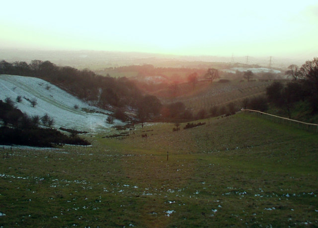
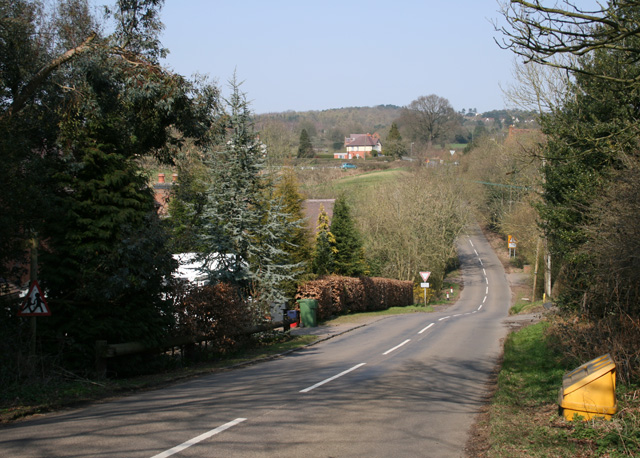
Segbourne Coppice is a dense woodland located in Worcestershire, England. Covering an area of approximately 50 acres, it is known for its picturesque beauty and diverse ecosystem. The coppice is situated in a rural setting, surrounded by rolling hills and meadows.

The woodland is predominantly composed of deciduous trees, including oak, ash, beech, and birch. These towering trees provide a canopy that filters sunlight, creating a cool and shaded environment beneath. The forest floor is covered in a thick carpet of moss, ferns, and wildflowers, adding to the enchanting atmosphere.

Segbourne Coppice is home to a wide range of wildlife, making it a popular destination for nature enthusiasts and birdwatchers. Many species of birds, such as woodpeckers, thrushes, and finches, can be spotted flitting between the branches. Small mammals like squirrels and rabbits scurry through the undergrowth, while larger mammals like deer and foxes roam the woodland.

Walking trails wind their way through the coppice, providing visitors with the opportunity to explore its natural wonders. The paths are well-maintained, ensuring ease of access for all visitors. Along the way, informative signage provides interesting facts about the flora and fauna found within the woodland.

Segbourne Coppice offers a peaceful escape from the hustle and bustle of everyday life, providing a serene environment for relaxation and rejuvenation. Its natural beauty and rich biodiversity make it a cherished gem within Worcestershire's landscape.

If you have any feedback on the listing, please let us know in the comments section below.

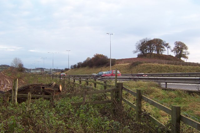
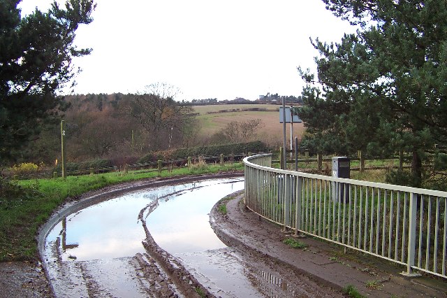
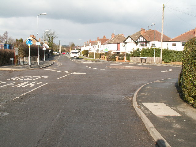
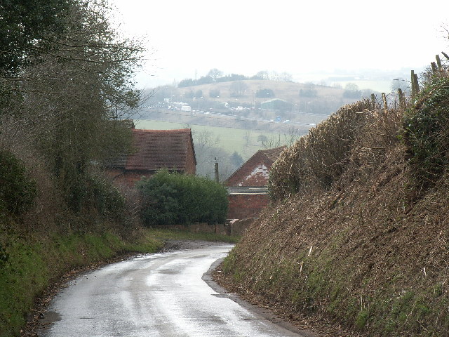
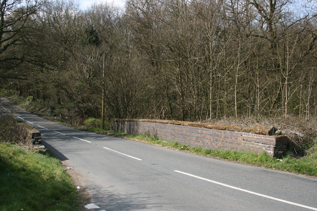
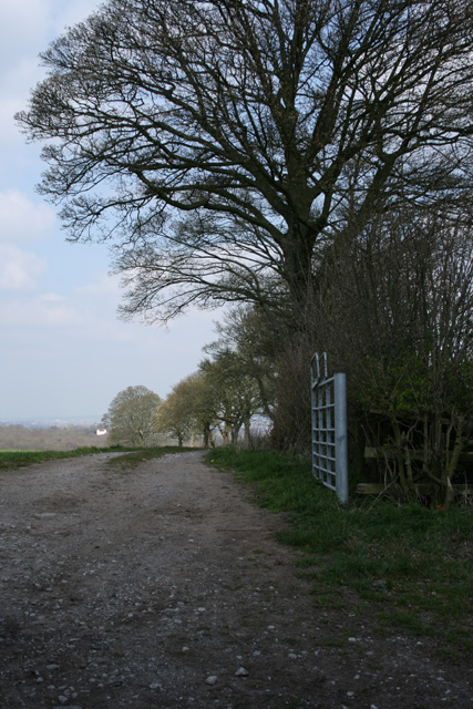
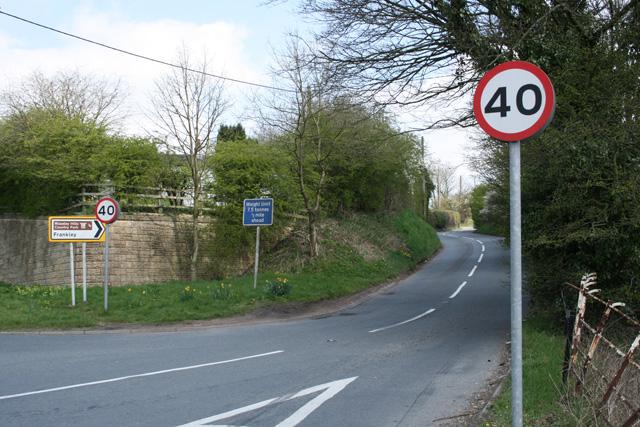
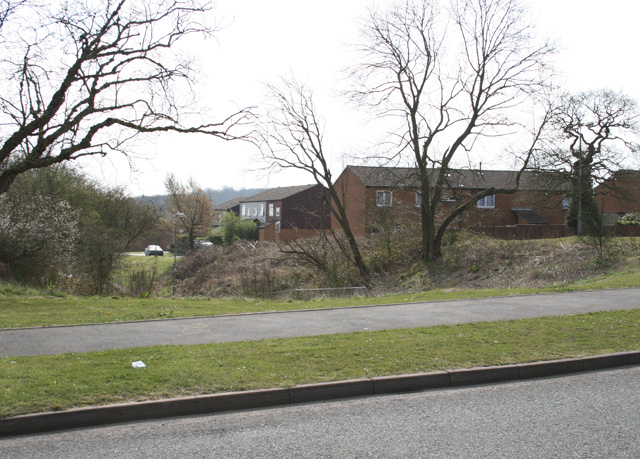
Segbourne Coppice Images

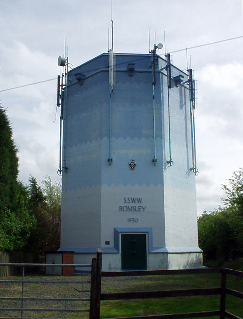
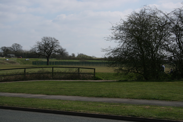
Images are sourced within 2km of 52.396787/-2.0446034 or Grid Reference SO9777. Thanks to Geograph Open Source API. All images are credited.

The M5 skirts a hillock Seen from the lane that leads to Chadwich Grange.
The M5 skirts a hillock
Seen from the lane that leads to Chadwich Grange.
From Chapman's Hill The view towards Romsley Hill from the farm bridge over the M5.
From Chapman's Hill
The view towards Romsley Hill from the farm bridge over the M5.
Road junction , Rubery The junction of School Road, Gannow Road and Gunner Lane in the south west corner of the square, looking north east. Waseley Hills High School and Holywell Junior School are just to the left of the picture.
Road junction , Rubery
The junction of School Road, Gannow Road and Gunner Lane in the south west corner of the square, looking north east. Waseley Hills High School and Holywell Junior School are just to the left of the picture.
Redhill Lane Looking south west towards Redhill Farm. The M5 motorway can be seen climbing up towards junction 4.
Redhill Lane
Looking south west towards Redhill Farm. The M5 motorway can be seen climbing up towards junction 4.
Water Tower, Romsley Hill Located on the south side of Farley Lane at the top of the hill.
Water Tower, Romsley Hill
Located on the south side of Farley Lane at the top of the hill.
View south west from Windmill Hill, Waseley Hills Country Park Looking down a small valley from the footpath below the summit of the hill, late on a winter afternoon
View south west from Windmill Hill, Waseley Hills Country Park
Looking down a small valley from the footpath below the summit of the hill, late on a winter afternoon
Life in the slow lane Monday morning rush hour on the M5 just past junction 4 heading north
Life in the slow lane
Monday morning rush hour on the M5 just past junction 4 heading north
Madeley Heath Steep down and up through Madeley Heath towards a fiveways at Bell Heath
Madeley Heath
Steep down and up through Madeley Heath towards a fiveways at Bell Heath
Boleyn Road Common Land
Boleyn Road
Common Land
Dismantled Railway Bridge Junction of Newtown Lane, Oxwood Lane and Yew Tree Lane
Dismantled Railway Bridge
Junction of Newtown Lane, Oxwood Lane and Yew Tree Lane
Farm Track Newtown Lane
Dayhouse Bank Turning for Frankley from B4551
Dayhouse Bank
Turning for Frankley from B4551
Edge of Housing Estate, Boleyn Road, Rubery
Manchester Inn on B4551
Sandy Lane (A461) looking NW
1953 Tower Blocks next to Cock Hill Wimpey Y-blocks designed by A G Sheppard Fidler
1953 Tower Blocks next to Cock Hill
Wimpey Y-blocks designed by A G Sheppard Fidler
Wet Day at the Manchester Inn The Pub on the Bromsgrove Road.
Wet Day at the Manchester Inn
The Pub on the Bromsgrove Road.
Romsley Hill Mast A wet day view of the Bromsgrove Road Mast.
Romsley Hill Mast
A wet day view of the Bromsgrove Road Mast.
Show me another place!

Segbourne Coppice is located at Grid Ref: SO9777 (Lat: 52.396787, Lng: -2.0446034)

Administrative County: Worcestershire

District: Bromsgrove

Police Authority: West Mercia

What 3 Words

///finger.trades.drove. Near Romsley, Worcestershire

Related Wikis

Waseley Hills Country Park

Waseley Hills Country Park is 150 acres (0.61 km2) a Country Park and Local Nature Reserve owned and managed by Worcestershire County Council's Countryside...

Waseley Hills High School and Sixth Form Centre

Waseley Hills High School and Sixth Form Centre is a mixed secondary school and sixth form with academy status in the town of Rubery, on the border of...

New Frankley

New Frankley in Birmingham is a civil parish in Birmingham, England. As such, it has its own parish council. == History == It was established in 2000 in...

Rubery

Rubery is a village in the Bromsgrove District and a suburb of Birmingham in the counties of Worcestershire and West Midlands, England. It is 9 miles...

St Chad's Church, Rubery

St Chad’s Church, Rubery is a Church of England parish church in Rubery, Worcestershire. == History == The church evolved in 1895 as a mission church from...

King Edward VI Balaam Wood Academy

King Edward VI Balaam Wood Academy is a coeducational secondary school located in the New Frankley area of Birmingham, West Midlands, England.The school...

Lydiate Ash

Lydiate Ash is a hamlet in North Worcestershire, England, consisting of a few houses, the road gritting and works depot for Worcestershire County Council...

Rubery Hill Hospital

Rubery Hill Hospital was a mental health facility in Birmingham, England. The Chapel, which still survives, is a Grade II listed building. == History... ==

Nearby Amenities

Located within 500m of 52.396787,-2.0446034
Bench
Source: survey
Lat/Long: 52.3999947/-2.0403096
Barrier: cattle_grid
Lat/Long: 52.3937638/-2.0470975
Fixme: continue
Lat/Long: 52.3956548/-2.0482324
Power: tower
Source: Bing
Lat/Long: 52.3978011/-2.0485401
Power: tower
Source: Bing
Lat/Long: 52.3996134/-2.0439676
Barrier: kissing_gate
Source: survey
Lat/Long: 52.3965073/-2.0386338
Barrier: stile
Source: survey
Lat/Long: 52.3997515/-2.0433799
Windmill Hill
Man Made: toposcope
Tourism: viewpoint
Lat/Long: 52.3990674/-2.0422354
Bench
Lat/Long: 52.3985896/-2.0423205
Bench
Lat/Long: 52.3988112/-2.0424453
Bench
Lat/Long: 52.3990674/-2.0426836
Source of the River Rea
Natural: spring
Source: survey
Lat/Long: 52.4000961/-2.0400677
Barrier: kissing_gate
Source: survey
Lat/Long: 52.3977177/-2.0406521
Barrier: kissing_gate
Source: survey
Lat/Long: 52.400144/-2.0401784
Information: guidepost
Source: survey
Tourism: information
Lat/Long: 52.4007176/-2.0446584
Barrier: kissing_gate
Source: survey
Lat/Long: 52.4007524/-2.0447848
Waseley Hill
Natural: peak
Lat/Long: 52.3963701/-2.0401923
Windmill Hill
Natural: peak
Lat/Long: 52.3992112/-2.0424025
The Greenhouse at Barnes Close
Addr Postcode: B61 0RA
Addr Street: Barnes Close
Description: The Greenhouse at Barnes Close is the place to belong for growing leaders & communities into fullness of life. Perfect for retreats, education & events. Whether you are looking for a venue for a refreshing group day or residential event, or for an individ
Phone: +44 1562 710231
Tourism: hotel
Website: https://seedbeds.org/greenhouse-at-barnes-close/
Lat/Long: 52.3946434/-2.0482241
Barrier: kissing_gate
Lat/Long: 52.3968412/-2.0381986
Power: pole
Source: bing
Lat/Long: 52.3932718/-2.040005
Power: pole
Source: bing
Lat/Long: 52.3931327/-2.0413381
Power: pole
Source: bing
Lat/Long: 52.3929674/-2.0428535
Power: pole
Source: bing
Lat/Long: 52.3927857/-2.0444709
Power: pole
Ref: 721303
Source: wpd_open_data
Transformer: distribution
Lat/Long: 52.3928446/-2.0458522
Power: pole
Source: bing
Lat/Long: 52.3930067/-2.0476708
Power: pole
Source: bing
Lat/Long: 52.3941262/-2.0498112
Power: pole
Ref: 721299
Source: wpd_open_data
Transformer: distribution
Lat/Long: 52.3951705/-2.0495698
Power: pole
Source: bing
Lat/Long: 52.3959094/-2.0494598
Power: pole
Source: bing
Lat/Long: 52.396961/-2.0493123
Power: pole
Source: bing
Lat/Long: 52.3974593/-2.0492479
Power: pole
Source: bing
Lat/Long: 52.3981083/-2.0491487
Power: pole
Source: bing
Lat/Long: 52.3988079/-2.0490333
Power: pole
Source: bing
Lat/Long: 52.3995665/-2.0489247
Power: pole
Source: bing
Lat/Long: 52.4002014/-2.0488389
Natural: spring
Lat/Long: 52.3966591/-2.0381027
The data included in this document is from www.openstreetmap.org. The data is made available under ODbL.

Have you been to Segbourne Coppice?

Leave your review of Segbourne Coppice below (or comments, questions and feedback).