Bents Wood
Wood, Forest in Yorkshire Craven
England
Bents Wood
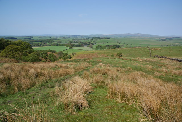
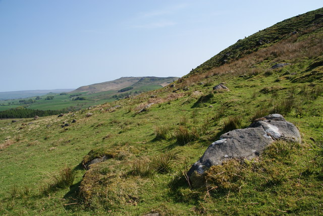
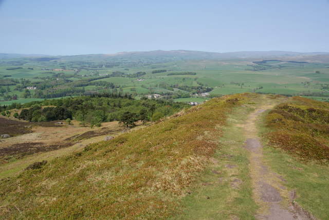
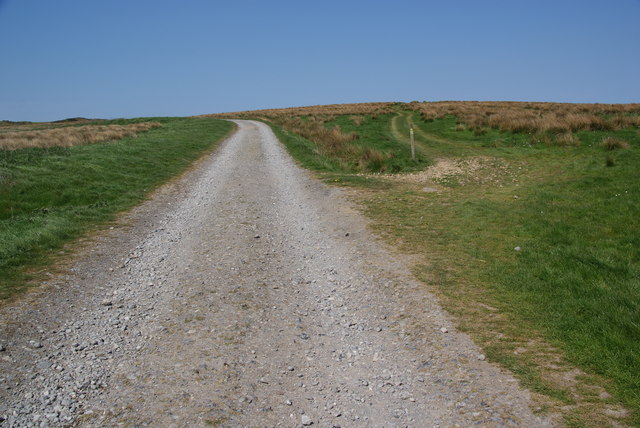
Bents Wood, located in Yorkshire, England, is a picturesque woodland area that spans across a vast expanse of land. This serene forest, often referred to as Bents Wood, is an oasis for nature enthusiasts and those seeking tranquility away from the hustle and bustle of everyday life.
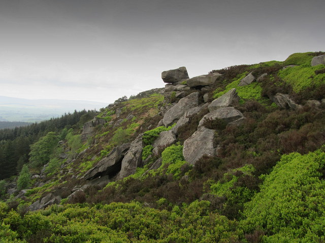
The woodland is characterized by its dense canopy of towering trees, including oak, beech, and birch, which provide ample shade and shelter for a variety of flora and fauna that call this place home. The forest floor is covered in a lush carpet of moss, ferns, and wildflowers, creating a vibrant and enchanting atmosphere.
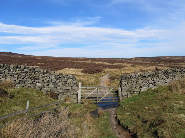
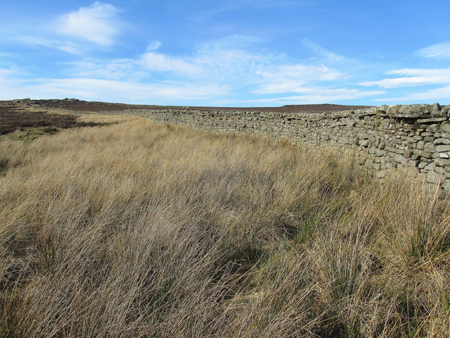
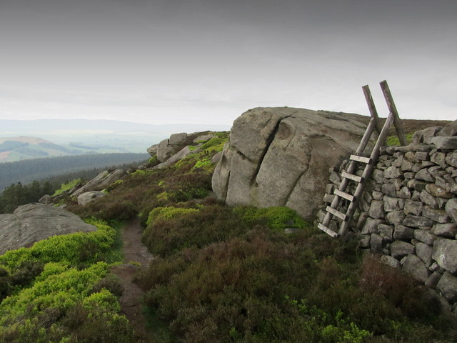
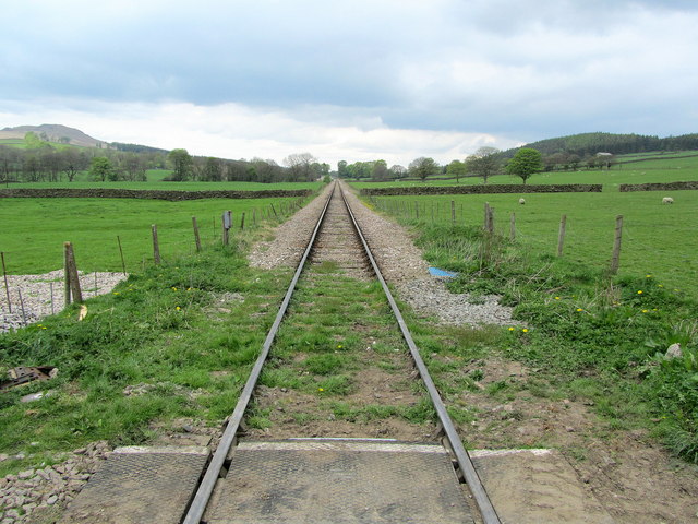
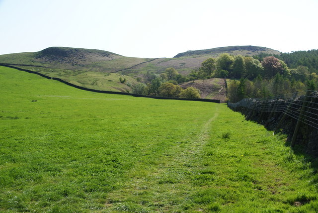
Bents Wood boasts a network of well-maintained footpaths and trails, which allow visitors to explore its beauty at their own pace. These paths wind through the forest, leading to hidden glades, babbling brooks, and secluded picnic spots, providing ample opportunities for outdoor activities such as hiking, birdwatching, and photography.
The woodland is also home to a rich variety of wildlife. Among the creatures that inhabit Bents Wood are deer, foxes, rabbits, and an array of bird species, including owls, woodpeckers, and songbirds. Nature enthusiasts will find solace in the abundance of biodiversity present in this forest.
Bents Wood is a popular destination for both locals and tourists alike, offering a peaceful retreat in the heart of Yorkshire. Its natural beauty, serenity, and diverse wildlife make it a must-visit location for anyone seeking to reconnect with nature and experience the tranquility of a traditional English woodland.
If you have any feedback on the listing, please let us know in the comments section below.
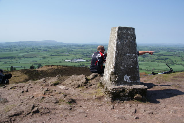
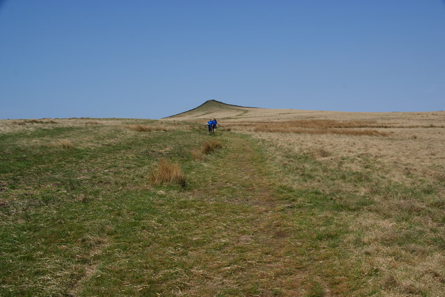
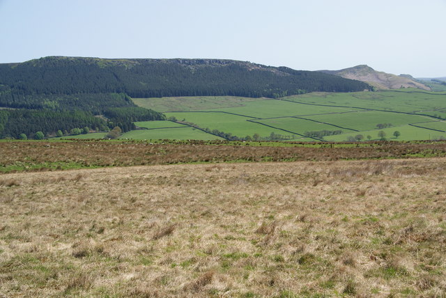
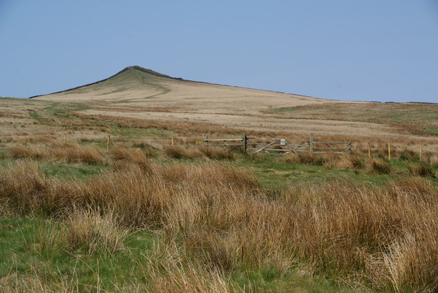
Bents Wood Images
Images are sourced within 2km of 53.998548/-2.0462467 or Grid Reference SD9755. Thanks to Geograph Open Source API. All images are credited.

Bents Wood is located at Grid Ref: SD9755 (Lat: 53.998548, Lng: -2.0462467)
Division: West Riding
Administrative County: North Yorkshire
District: Craven
Police Authority: North Yorkshire
What 3 Words
///enlighten.along.struts. Near Embsay, North Yorkshire
Nearby Locations
Related Wikis
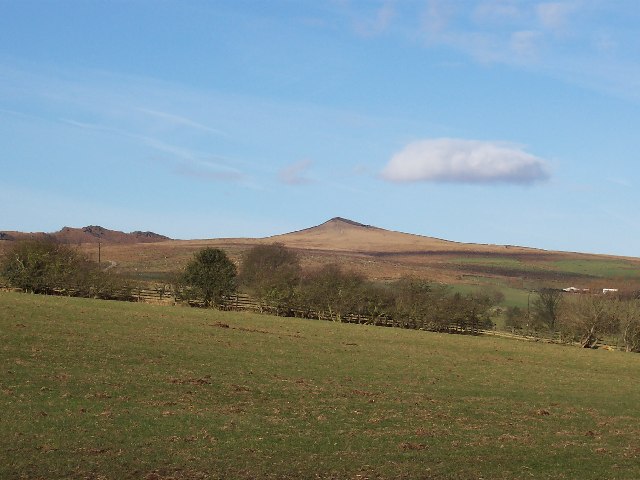
Sharp Haw
Sharp Haw is a hill on the southern edge of the Yorkshire Dales, located just within the National Park. Being the last outpost of the hills before the...

Cracoe
Cracoe is a small village and civil parish in the Craven district of North Yorkshire, England. It is situated near to Rylstone and about 6 miles south...

Flasby
Flasby is a hamlet in the Yorkshire Dales in North Yorkshire, England. It is one of the two settlements, with Winterburn, in the civil parish of Flasby...

Hetton, North Yorkshire
Hetton is a small Dales village in the civil parish of Hetton-cum-Bordley, in the North Yorkshire district of North Yorkshire, England, situated 5.75 miles...

Rylstone
Rylstone is a village and civil parish in the Craven district of North Yorkshire, England. It is situated very near to Cracoe and about 6 miles south west...

St Peter's Church, Rylstone
St Peter's Church is in the village of Rylstone, North Yorkshire, England. It is an active Anglican parish church in the deanery of Skipton, the archdeaconry...
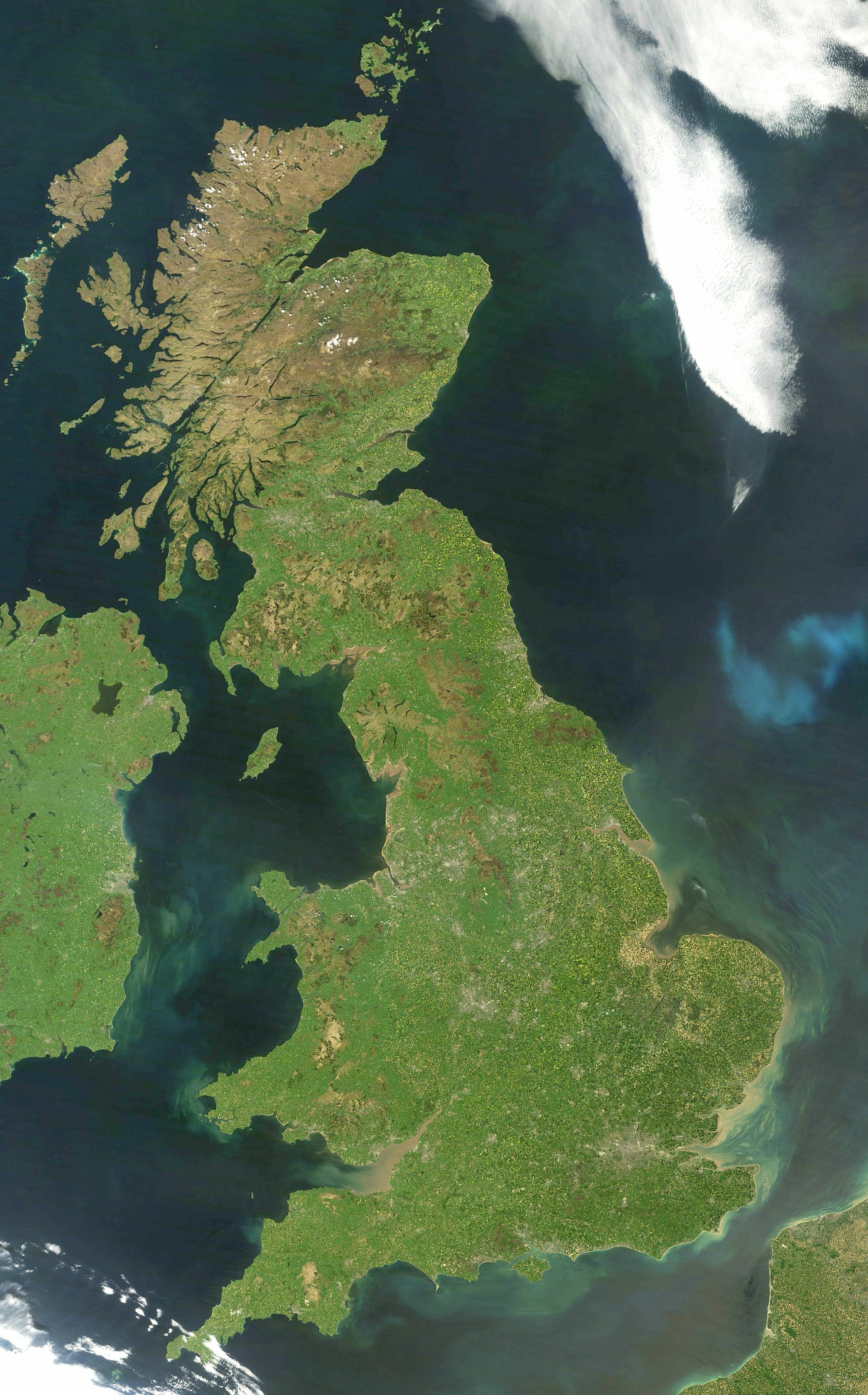
Great Britain
Great Britain is an island in the North Atlantic Ocean off the north-west coast of continental Europe, consisting of England, Scotland and Wales. With...

Yorkshire dialect
The Yorkshire dialect (also known as Broad Yorkshire, Tyke, Yorkie, or Yorkshire English) is a dialect of English, or continuum of dialects, spoken in...
Nearby Amenities
Located within 500m of 53.998548,-2.0462467Have you been to Bents Wood?
Leave your review of Bents Wood below (or comments, questions and feedback).