New Coppice
Wood, Forest in Wiltshire
England
New Coppice
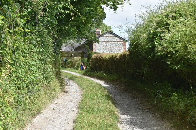
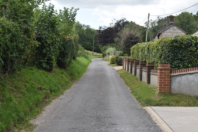
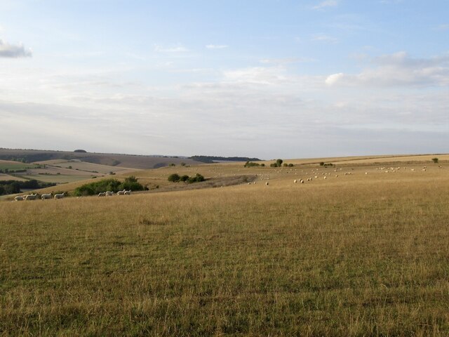
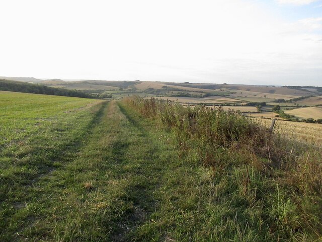
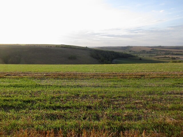
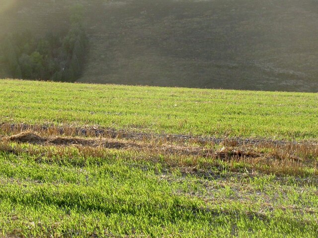
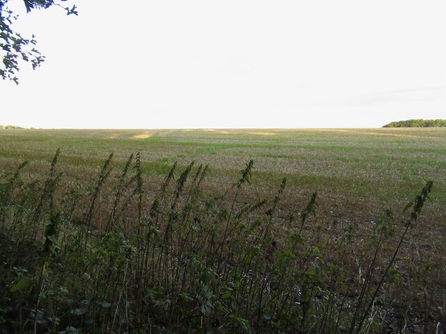
New Coppice is a picturesque woodland area located in the county of Wiltshire, England. Situated near the village of Westwood, it covers an area of approximately 50 acres and is known for its natural beauty and tranquil atmosphere.
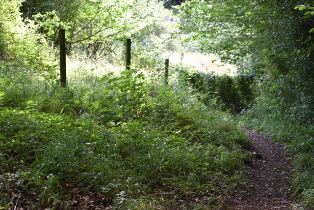
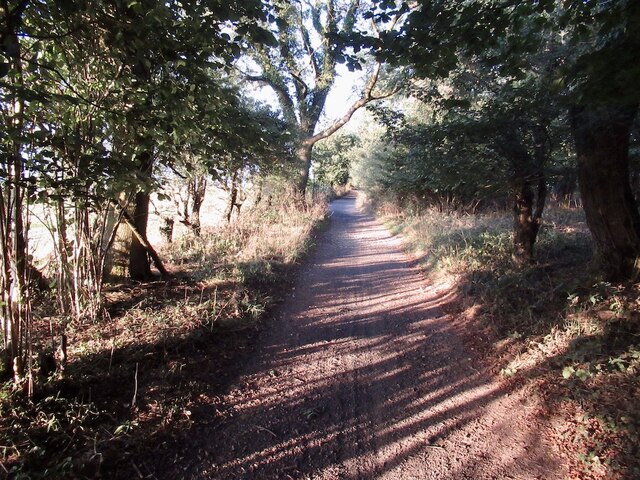
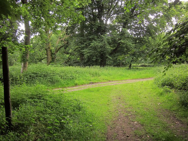
The woodland, also commonly referred to as New Coppice Forest, is predominantly made up of native broadleaf trees, including oak, beech, and birch. These trees create a dense canopy, providing shade and shelter for a variety of plant and animal species. The forest floor is adorned with a carpet of bluebells and wildflowers during the springtime, creating a vibrant and colorful display.
The area is a haven for wildlife, attracting a range of bird species such as woodpeckers, nuthatches, and tawny owls. Squirrels and rabbits can be spotted darting amongst the trees, and if lucky, one may even catch a glimpse of a deer or fox.
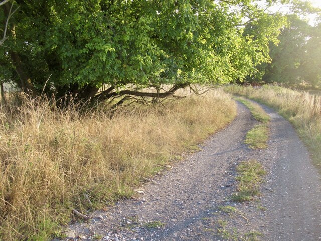
New Coppice is a popular destination for nature enthusiasts, hikers, and birdwatchers. It offers a network of well-maintained footpaths and trails, allowing visitors to explore the woodland and enjoy its natural wonders. The peaceful ambiance and secluded location make it an ideal spot for those seeking solitude and a connection with nature.
In addition to its natural beauty, New Coppice also holds historical significance. It is believed that the woodland has been present for centuries, providing timber for local communities. Remnants of ancient woodland management techniques, such as coppicing, can still be seen in the area.
Overall, New Coppice is a cherished natural gem in Wiltshire, offering a serene escape from the hustle and bustle of everyday life. Its diverse flora and fauna, combined with its rich history, make it a truly enchanting destination for nature lovers and history enthusiasts alike.
If you have any feedback on the listing, please let us know in the comments section below.
New Coppice Images
Images are sourced within 2km of 50.975174/-2.0431485 or Grid Reference ST9719. Thanks to Geograph Open Source API. All images are credited.


New Coppice is located at Grid Ref: ST9719 (Lat: 50.975174, Lng: -2.0431485)
Unitary Authority: Wiltshire
Police Authority: Wiltshire
What 3 Words
///essays.blockage.evening. Near Bower Chalke, Wiltshire
Nearby Locations
Related Wikis

Cranborne Chase
Cranborne Chase (grid reference ST970180) is an area of central southern England, straddling the counties Dorset, Hampshire and Wiltshire. It is part of...

Woodcutts Settlement
Woodcutts Settlement is an archaeological site of the late Iron Age and Romano-British period on Cranborne Chase, England. It is situated about 1 mile...

Cranborne Chase and West Wiltshire Downs
Cranborne Chase and West Wiltshire Downs is an Area of Outstanding Natural Beauty (AONB) covering 379 square miles (980 km2) of Dorset, Hampshire, Somerset...

Sandroyd School
Sandroyd School is an independent co-educational preparatory school for day and boarding pupils aged 2 to 13 in the south of Wiltshire, England. The school...

Rotherley Down Settlement
Rotherley Down Settlement is an archaeological site of the late Iron Age and Romano-British period on Cranborne Chase, England. It is about 1.5 miles...

Pincombe Down
Pincombe Down (grid reference ST966217) is a 23.8 hectare biological Site of Special Scientific Interest in southwest Wiltshire, England, notified in 1971...
Rotherley Downs
Rotherley Downs (grid reference ST946196) is a 120.05 hectare biological Site of Special Scientific Interest in Wiltshire, England, notified in 1989. The...

Woodcutts
Woodcutts is a hamlet within the parish of Sixpenny Handley and is located in the north of Dorset, near to the Wiltshire border. Originally named "Woodcotes...
Nearby Amenities
Located within 500m of 50.975174,-2.0431485Have you been to New Coppice?
Leave your review of New Coppice below (or comments, questions and feedback).