Hollin Wood
Wood, Forest in Yorkshire Craven
England
Hollin Wood
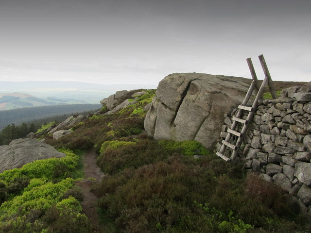
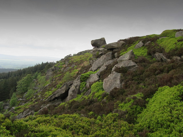
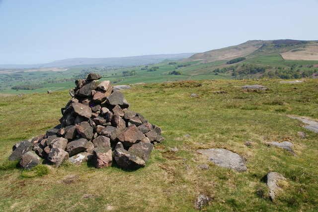
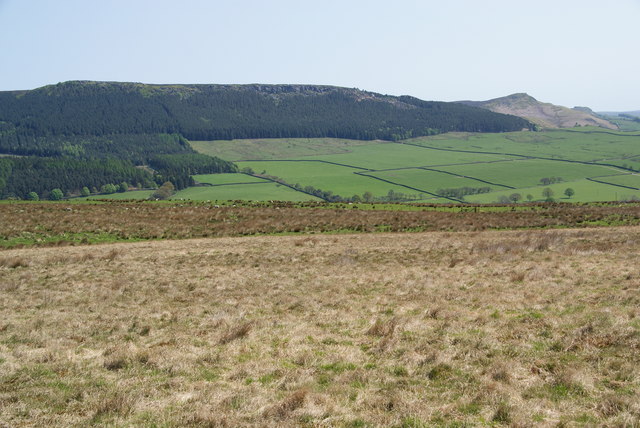
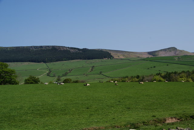
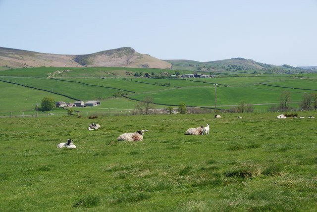
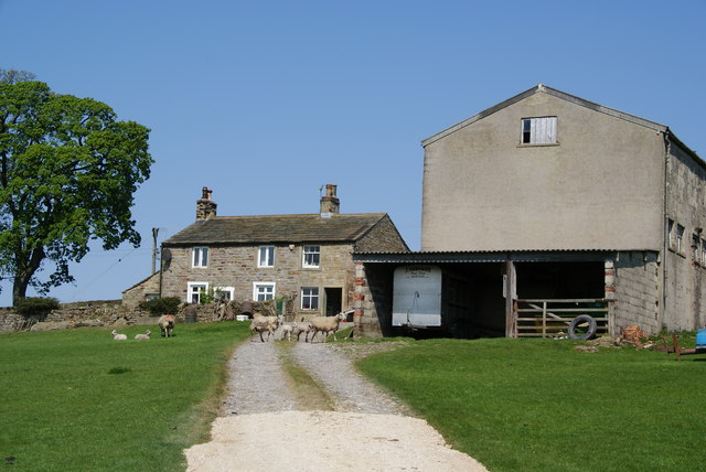
Hollin Wood is a picturesque forest located in the county of Yorkshire, England. Spanning an area of approximately 100 acres, it is known for its dense and diverse woodland, making it a popular destination for nature enthusiasts and hikers alike.
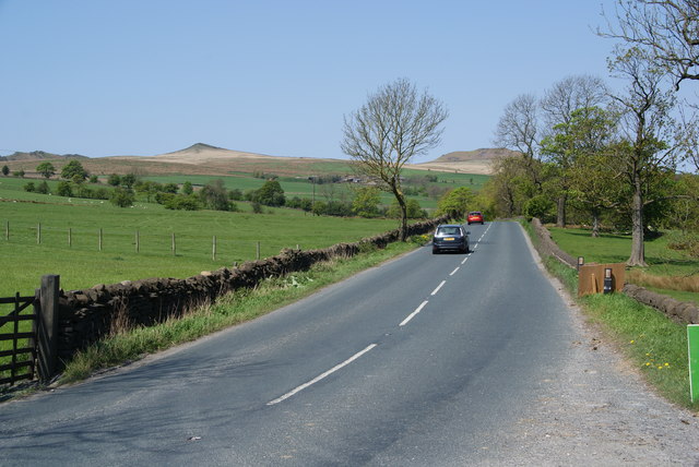
Situated in the heart of Yorkshire, Hollin Wood boasts a rich history dating back centuries. The forest is believed to have been used by locals for timber production and hunting in medieval times. Today, it serves as a tranquil retreat from the bustling city life, offering visitors a peaceful and serene environment.
The woodland in Hollin Wood is characterized by a variety of tree species, including oak, beech, birch, and pine. This diverse ecosystem provides a habitat for a wide range of wildlife, such as deer, foxes, rabbits, and a myriad of bird species. Birdwatchers often flock to the forest to catch a glimpse of rare or migratory birds that pass through the area.
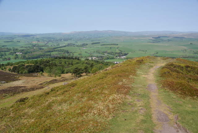
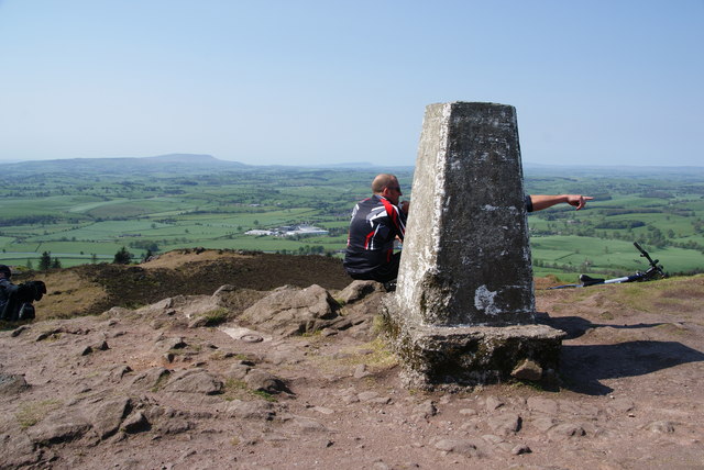
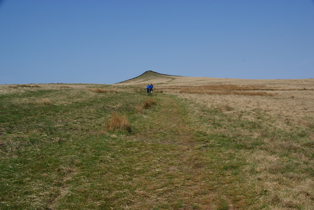
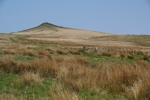
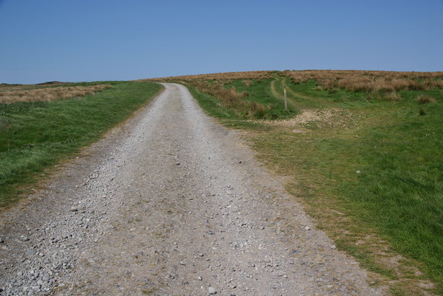
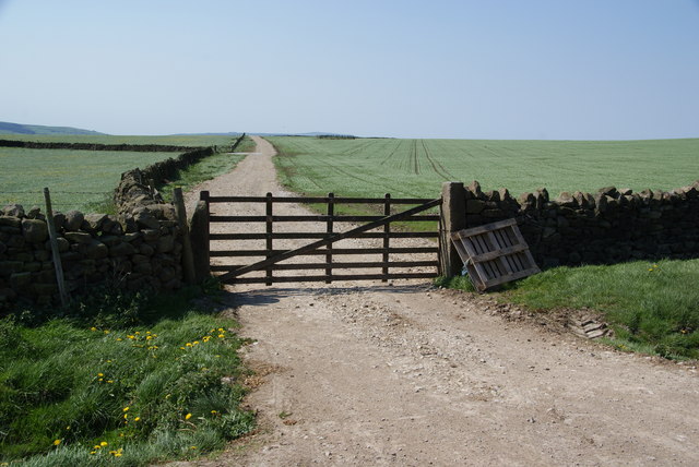
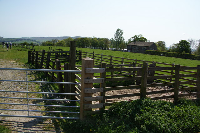
There are several well-marked trails and paths throughout Hollin Wood, allowing visitors to explore its natural beauty at their own pace. These paths offer breathtaking views of the surrounding countryside and are suitable for all levels of fitness.
Additionally, Hollin Wood is equipped with amenities for visitors, including picnic areas, benches, and designated parking spaces. These facilities make it an ideal location for a family day out or a peaceful picnic amidst nature.
In conclusion, Hollin Wood in Yorkshire is a charming forest that offers a peaceful escape for visitors seeking to immerse themselves in nature. With its diverse wildlife, scenic trails, and well-maintained facilities, it is a must-visit destination for outdoor enthusiasts in the region.
If you have any feedback on the listing, please let us know in the comments section below.
Hollin Wood Images
Images are sourced within 2km of 53.993274/-2.0417261 or Grid Reference SD9755. Thanks to Geograph Open Source API. All images are credited.

Hollin Wood is located at Grid Ref: SD9755 (Lat: 53.993274, Lng: -2.0417261)
Division: West Riding
Administrative County: North Yorkshire
District: Craven
Police Authority: North Yorkshire
What 3 Words
///fearfully.surprised.motel. Near Embsay, North Yorkshire
Nearby Locations
Related Wikis
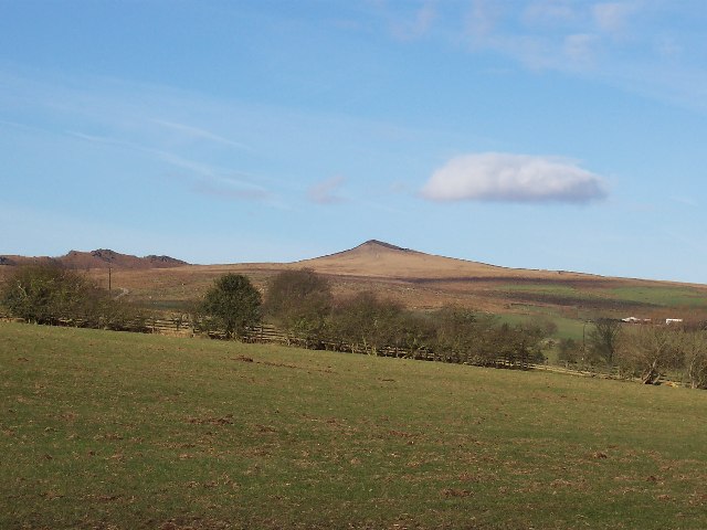
Sharp Haw
Sharp Haw is a hill on the southern edge of the Yorkshire Dales, located just within the National Park. Being the last outpost of the hills before the...

Embsay Reservoir
Embsay Reservoir is located above the village of Embsay, near Skipton in the Yorkshire Dales in North Yorkshire, England. It is owned by Yorkshire Water...
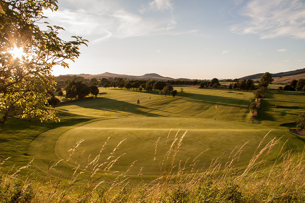
Skipton Golf Club
Skipton Golf Club is a golf club located within the English county of North Yorkshire. Founded within 1893, the club was originally located a short distance...

Cracoe
Cracoe is a small village and civil parish in the Craven district of North Yorkshire, England. It is situated near to Rylstone and about 6 miles south...

Stirton with Thorlby
Stirton with Thorlby is a civil parish in the Craven district of North Yorkshire, England. The parish includes the settlements of Stirton and Thorlby....
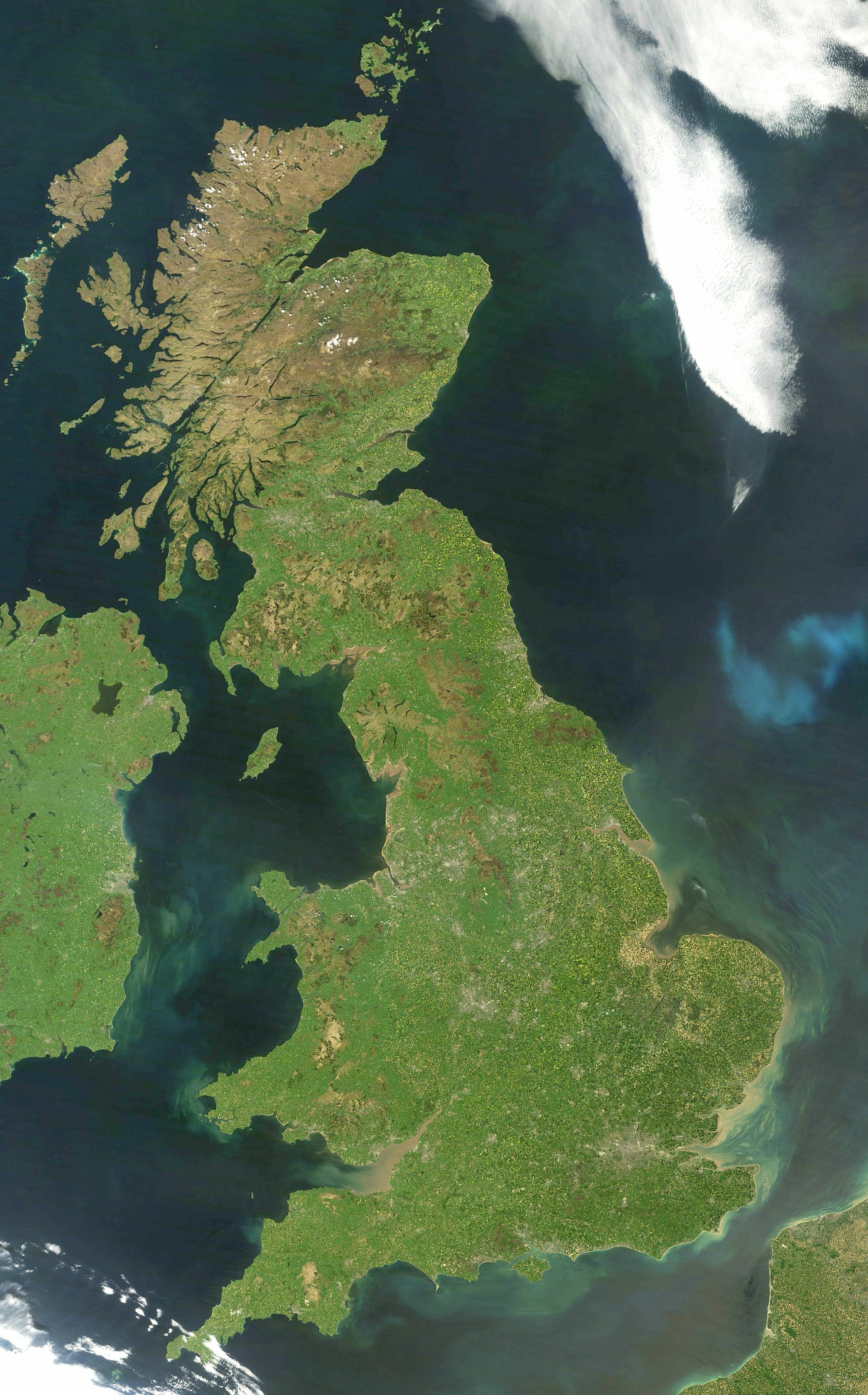
Great Britain
Great Britain is an island in the North Atlantic Ocean off the north-west coast of continental Europe, consisting of England, Scotland and Wales. With...

Yorkshire dialect
The Yorkshire dialect (also known as Broad Yorkshire, Tyke, Yorkie, or Yorkshire English) is a dialect of English, or continuum of dialects, spoken in...

Yorkshire
Yorkshire ( YORK-shər, -sheer) is a historic county in Northern England and the largest by area size in the United Kingdom. Because of its large area...
Nearby Amenities
Located within 500m of 53.993274,-2.0417261Have you been to Hollin Wood?
Leave your review of Hollin Wood below (or comments, questions and feedback).