Birch Rough

Wood, Forest in Staffordshire Stafford

England

Birch Rough

The Green Man, Milwich A pub in Milwich. On the right is Sandon Lane, leading towards All Saints' Church.
The Green Man, Milwich Credit: David Weston

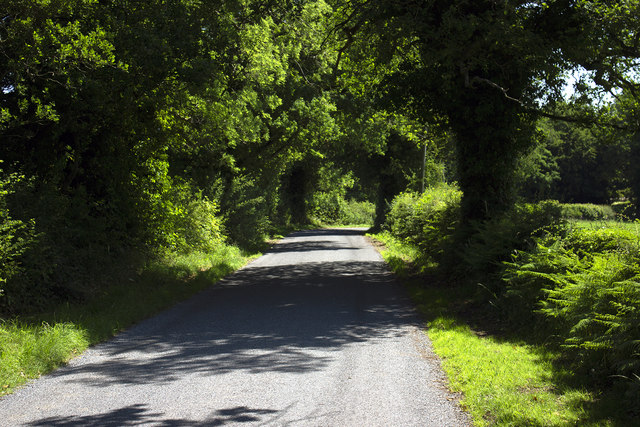
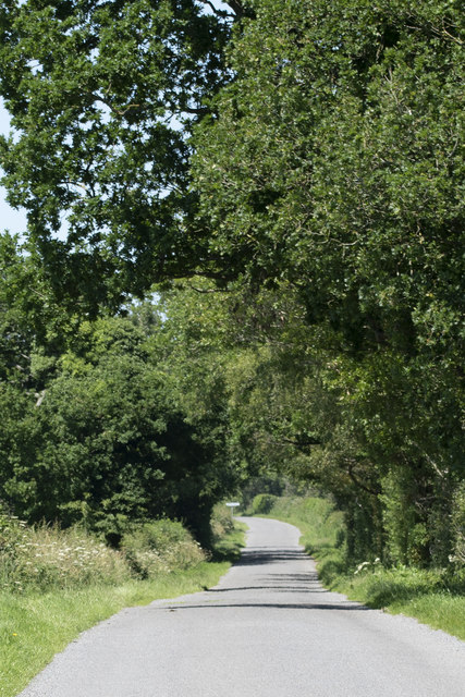
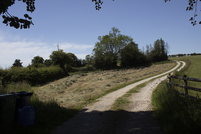
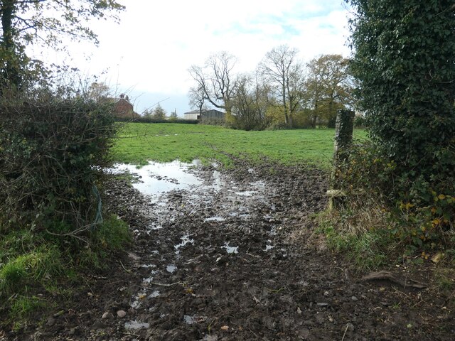
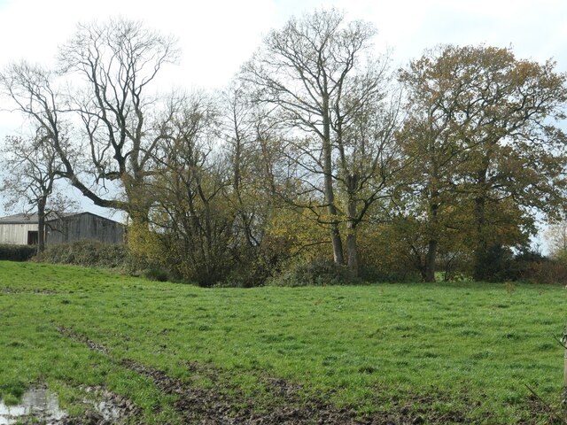
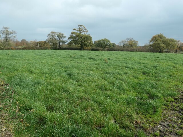
Birch Rough, located in Staffordshire, England, is a sprawling woodland area renowned for its picturesque beauty and rich biodiversity. Spanning over several hectares, this forest is predominantly characterized by the presence of birch trees, which give the area its name. The forest is easily accessible, with well-maintained walking trails and designated picnic areas, making it a popular destination for outdoor enthusiasts and nature lovers.

Birch Rough is home to a diverse range of plant and animal species, making it an important habitat for wildlife conservation. The forest floor is carpeted with a variety of wildflowers, ferns, and mosses, creating a vibrant and colorful landscape throughout the year. The dense canopy of birch trees provides shelter and nesting sites for numerous bird species, including woodpeckers, owls, and warblers.

The forest also boasts a small stream that meanders through the woodland, adding to the area's natural charm. The babbling brook not only provides a serene backdrop for visitors but also serves as a water source for the resident wildlife.

Visitors to Birch Rough can enjoy a range of activities, from leisurely walks and birdwatching to more adventurous pursuits like orienteering and mountain biking. The forest management team ensures that the trails are well-maintained and signposted, allowing visitors to explore the area with ease and safety.

Birch Rough, with its tranquil ambiance and abundant natural beauty, offers a perfect escape from the hustle and bustle of everyday life, providing an opportunity to reconnect with nature and enjoy the peaceful serenity of the Staffordshire countryside.

If you have any feedback on the listing, please let us know in the comments section below.

Birch Rough Images

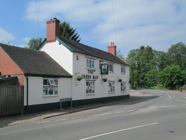
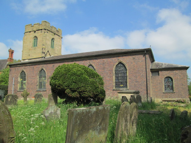
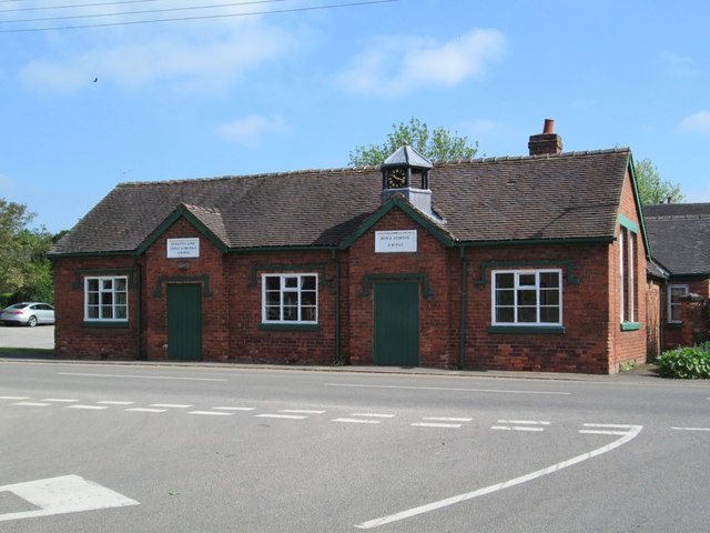
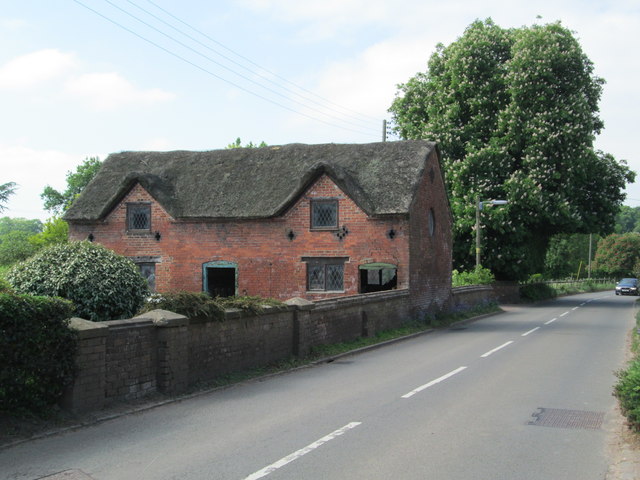
Images are sourced within 2km of 52.898827/-2.0406605 or Grid Reference SJ9733. Thanks to Geograph Open Source API. All images are credited.
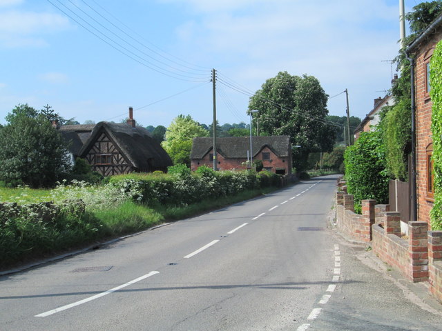
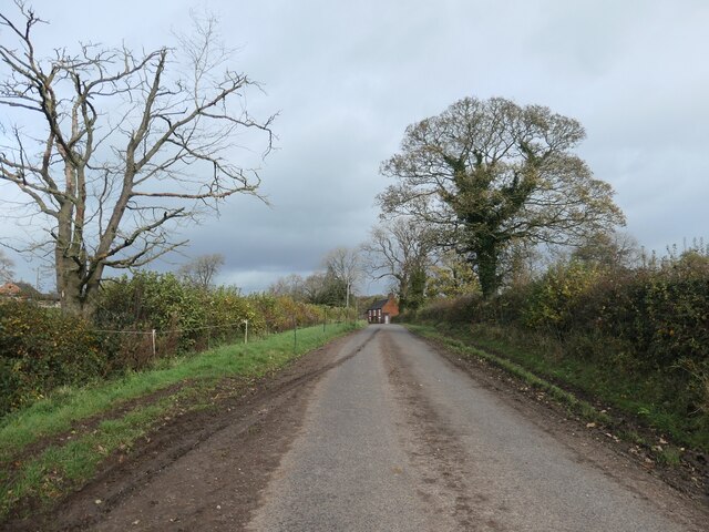
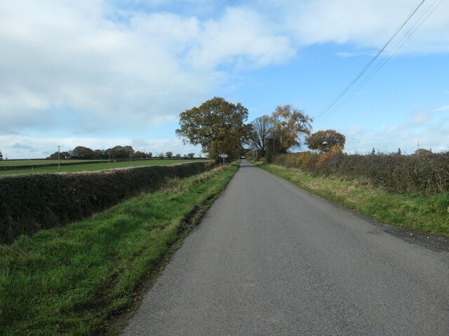
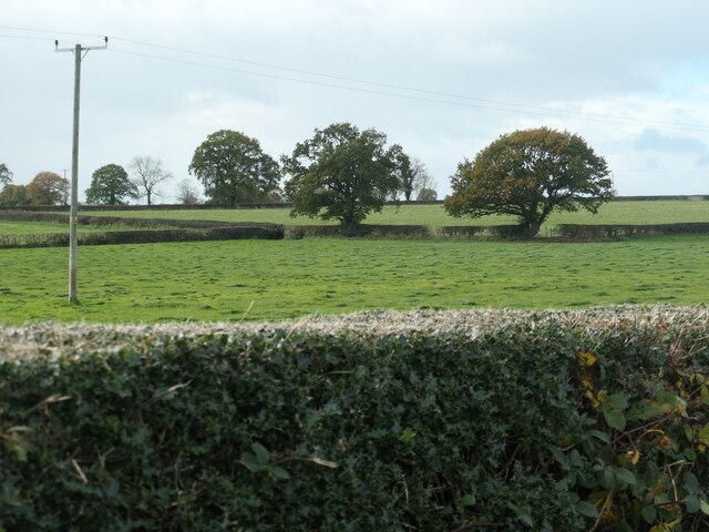
The Green Man, Milwich A pub in Milwich. On the right is Sandon Lane, leading towards All Saints' Church.
The Green Man, Milwich
A pub in Milwich. On the right is Sandon Lane, leading towards All Saints' Church.
All Saints' Church, Milwich Viewed from the south-east.
All Saints' Church, Milwich
Viewed from the south-east.
Old school building at Milwich Above the doors facing the road are the signs "Infants and girls school AD 1833" and "Boys school AD 1833". It was a school until 1929.
Old school building at Milwich
Above the doors facing the road are the signs "Infants and girls school AD 1833" and "Boys school AD 1833". It was a school until 1929.
Former dwelling in Milwich A derelict building, perhaps used for storage, on the main road through Milwich.
Former dwelling in Milwich
A derelict building, perhaps used for storage, on the main road through Milwich.
The B5027 through Milwich Looking south-west from the junction with The Allways.
The B5027 through Milwich
Looking south-west from the junction with The Allways.
Old Milepost by the B5027, Uttoxeter Road, Milwich Cast iron post by the B5027, in parish of Milwich (Stafford District), Southeast of Dayhills, in hedge, on North side of road. Cochrane iron casting, erected by the County Council in the 20th century. 

Inscription reads:-
: MILWICH ¼ / BRAMSHALL 6¾ / UTTOXETER 9 : : MILWICH / PARISH : : STONE 4 :
Maker:-
: Cochrane & Co, Dudley. :

Staffordshire HER.
HER Number: 51330 <span class="nowrap"><a title="https://www.heritagegateway.org.uk/Gateway/Results_Single.aspx?uid=MST12553&resourceID=1010" rel="nofollow ugc noopener" href="https://www.heritagegateway.org.uk/Gateway/Results_Single.aspx?uid=MST12553&resourceID=1010">Link</a><img style="margin-left:2px;" alt="External link" title="External link - shift click to open in new window" src="https://s1.geograph.org.uk/img/external.png" width="10" height="10"/></span>

Milestone Society National ID: ST_UTSN09
Old Milepost by the B5027, Uttoxeter Road, Milwich
Cast iron post by the B5027, in parish of Milwich (Stafford District), Southeast of Dayhills, in hedge, on North side of road. Cochrane iron casting, erected by the County Council in the 20th century. Inscription reads:- : MILWICH ¼ / BRAMSHALL 6¾ / UTTOXETER 9 : : MILWICH / PARISH : : STONE 4 : Maker:- : Cochrane & Co, Dudley. : Staffordshire HER. HER Number: 51330 LinkExternal link Milestone Society National ID: ST_UTSN09
Old Toll House, Milwich Toll House in the parish of Milwich, The Round House, Main Street, ST18 0EG.

Grade II listed.
List Entry Number: 1189551 <span class="nowrap"><a title="https://historicengland.org.uk/listing/the-list/list-entry/1189551" rel="nofollow ugc noopener" href="https://historicengland.org.uk/listing/the-list/list-entry/1189551">Link</a><img style="margin-left:2px;" alt="External link" title="External link - shift click to open in new window" src="https://s1.geograph.org.uk/img/external.png" width="10" height="10"/></span>

Surveyed

Milestone Society National ID: ST.MIL
Old Toll House, Milwich
Toll House in the parish of Milwich, The Round House, Main Street, ST18 0EG. Grade II listed. List Entry Number: 1189551 LinkExternal link Surveyed Milestone Society National ID: ST.MIL
Farm buildings
Farm buildings
Road to Milwich Road and hedgerows near Calloway Farm
Road to Milwich
Road and hedgerows near Calloway Farm
Ferrer's Wood Road to Highfields Farm at Ferrer's Wood
Ferrer's Wood
Road to Highfields Farm at Ferrer's Wood
Knowle Farm track Hay field at Knowle Farm
Knowle Farm track
Hay field at Knowle Farm
Lane heading north-east from Coton Hill Heading to Summerhill and Stone Heath.
Lane heading north-east from Coton Hill
Heading to Summerhill and Stone Heath.
Muddy field entrance near Coton Hill Farm After wet weather.
Muddy field entrance near Coton Hill Farm
After wet weather.
Trees around a pond, near Coton Hill Farm The pond has been divided by a field boundary since at least the 1880s, so perhaps it is an old pit?
Trees around a pond, near Coton Hill Farm
The pond has been divided by a field boundary since at least the 1880s, so perhaps it is an old pit?
Lane heading south-west to Coton Hill Meeting the B5027 at the distant building [a former post office].
Lane heading south-west to Coton Hill
Meeting the B5027 at the distant building [a former post office].
Farmland south of Oak Farm About 170 metres above sea level.
Farmland south of Oak Farm
About 170 metres above sea level.
Road heading north-west from Summerhill Rising from 195 metres above sea level.
Road heading north-west from Summerhill
Rising from 195 metres above sea level.
Farmland at Summerhill On the west side of Withysitch Lane.
Farmland at Summerhill
On the west side of Withysitch Lane.
Show me another place!

Birch Rough is located at Grid Ref: SJ9733 (Lat: 52.898827, Lng: -2.0406605)

Administrative County: Staffordshire

District: Stafford

Police Authority: Staffordshire

What 3 Words

///hardly.abstracts.slate. Near Stone, Staffordshire

Related Wikis

Milwich

Milwich is a village and a civil parish in the English county of Staffordshire. == Location == The village is 7.8 miles (12.6 km) north east of the town...

Coton Hill, Staffordshire

Coton Hill is a hamlet in the English county of Staffordshire. Coton Hill is located east of the village of Milwich on the B5027 road between Stone and...

Hilderstone

Hilderstone is a village and a civil parish in the English county of Staffordshire. == Location == The village is 8.6 miles (13.8 km) north of the town...

Fradswell

Fradswell is a village in Staffordshire, England, approximately 7 miles (10 km) north-east of the town of Stafford and 7 miles (11 km) north of Colwich...

Leigh railway station (Staffordshire)

Leigh railway station was a railway station in Staffordshire, England. The railway line between Stoke-on-Trent and Uttoxeter was opened by the North Staffordshire...

Sandon, Staffordshire

Sandon is a village in the civil parish of Sandon and Burston, in the Stafford district, in the county of Staffordshire, England. It is about 4.5 miles...

Fulford, Staffordshire

Fulford is a village and civil parish about 5 miles (8 km) north east of Stone, in the Stafford district, in the county of Staffordshire, England. The...

Sandon railway station

Sandon railway station was a railway station opened by the North Staffordshire Railway to serve the village of Sandon, Staffordshire, England. For some...

Nearby Amenities

Located within 500m of 52.898827,-2.0406605
The data included in this document is from www.openstreetmap.org. The data is made available under ODbL.

Have you been to Birch Rough?

Leave your review of Birch Rough below (or comments, questions and feedback).