Raechester Plantation
Wood, Forest in Northumberland
England
Raechester Plantation
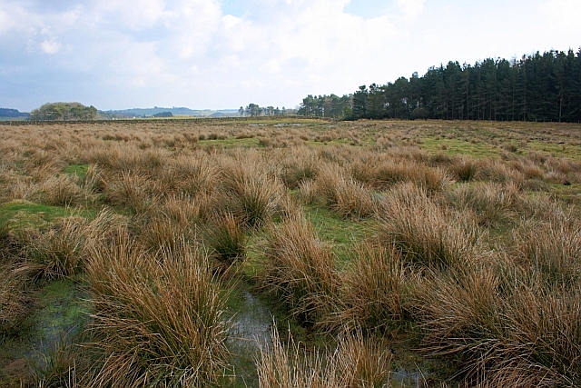
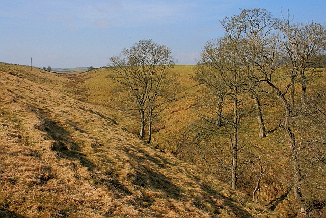
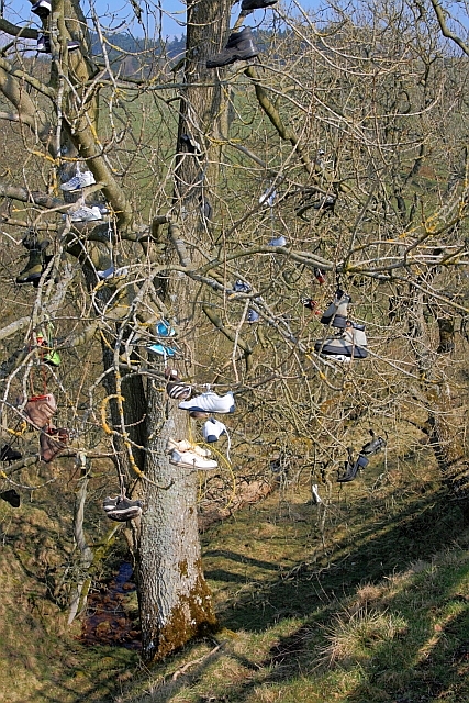
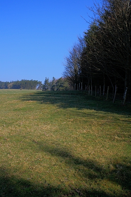
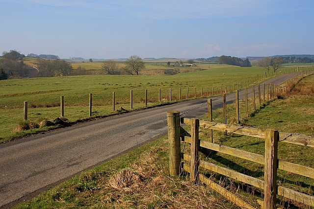
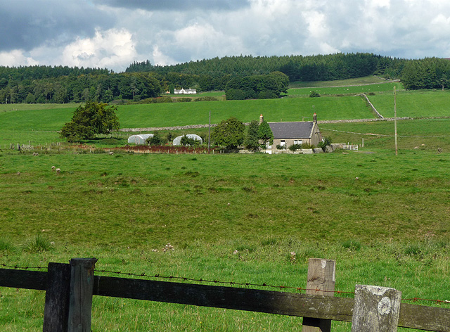
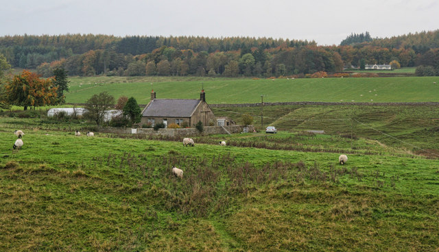
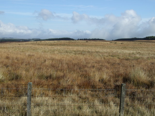
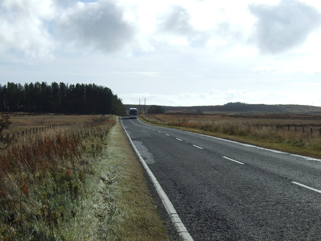
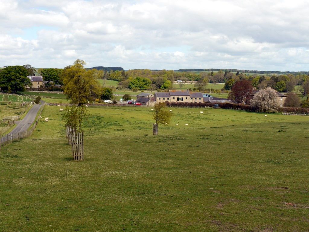
Raechester Plantation is a sprawling woodland located in the county of Northumberland, England. Covering a vast area, it is known for its dense forest and picturesque surroundings. The plantation is situated in close proximity to the village of Raechester, which lends its name to the area.
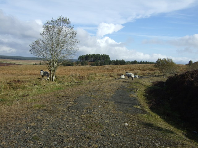
The woodland is characterized by its diverse and vibrant flora and fauna. It is predominantly composed of a variety of deciduous and coniferous trees, such as oak, beech, and pine, creating a rich tapestry of colors throughout the seasons. The plantation is also home to several species of wildlife, including deer, rabbits, squirrels, and a multitude of bird species, making it an ideal location for nature enthusiasts and birdwatchers.
Raechester Plantation offers a range of recreational activities for visitors to enjoy. There are numerous walking trails and hiking paths crisscrossing the woodland, providing an opportunity to explore its beauty. The plantation is also a popular destination for camping and picnicking, with designated areas available for these activities.
Additionally, the woodland serves as an important conservation area, with efforts made to preserve its natural beauty and protect its wildlife. The plantation is actively managed to ensure the sustainability of its ecosystem, with regular tree planting and maintenance programs in place.
Overall, Raechester Plantation in Northumberland offers a serene and tranquil environment for individuals seeking solace in nature. Its breathtaking scenery, diverse wildlife, and recreational activities make it a popular destination for both locals and tourists alike.
If you have any feedback on the listing, please let us know in the comments section below.
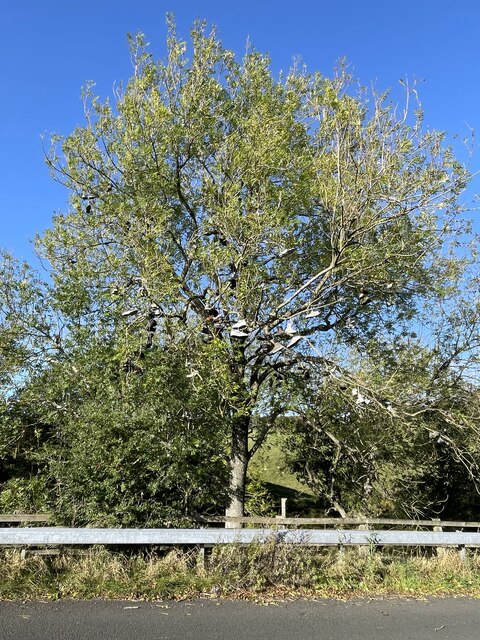
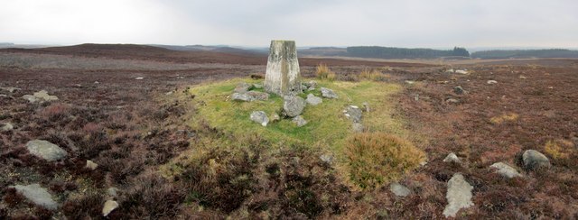
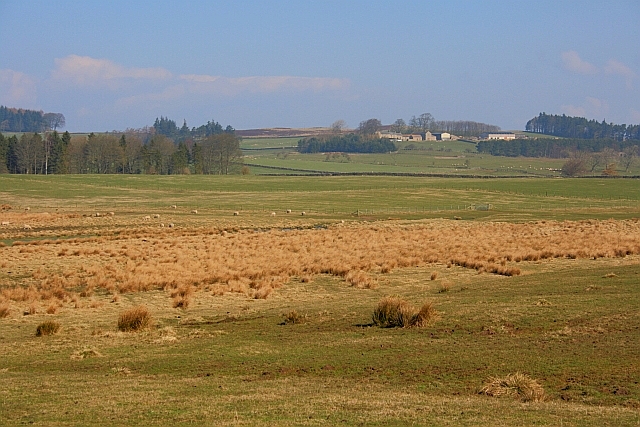
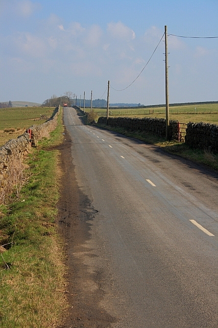
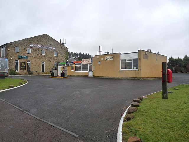
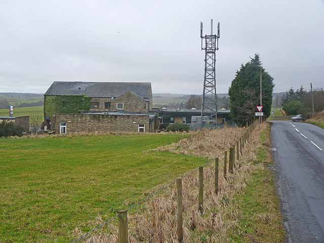
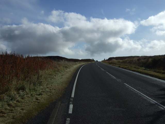
Raechester Plantation Images
Images are sourced within 2km of 55.172088/-2.043003 or Grid Reference NY9786. Thanks to Geograph Open Source API. All images are credited.
Raechester Plantation is located at Grid Ref: NY9786 (Lat: 55.172088, Lng: -2.043003)
Unitary Authority: Northumberland
Police Authority: Northumbria
What 3 Words
///tasteful.humble.appear. Near Corsenside, Northumberland
Nearby Locations
Related Wikis

Knowesgate railway station
Knowesgate was a stone-built railway station with goods sidings in Northumberland, England on the Wansbeck Railway between Morpeth and Reedsmouth, which...

Northumberland
Northumberland ( nor-THUM-bər-lənd) is a ceremonial county in North East England, bordering Scotland. It is bordered by the Scottish Borders to the north...

Little Harle Tower
Little Harle Tower is a Grade II* listed privately owned country house with 15th-century origins, located at Little Harle, Kirkwhelpington, Northumberland...

Kirkwhelpington
Kirkwhelpington is a village and civil parish in the English county of Northumberland about 13 miles (21 km) northeast of Hexham. It is on the River Wansbeck...
Sweethope Loughs
Sweethope Loughs are two freshwater lakes almost 1 mile (1.6 km) in length, the smaller one just east of the larger, in the southern part of Northumberland...

Cambo, Northumberland
Cambo is a village and former civil parish, now in the parish of Wallington Demesne, in Northumberland, England. It is about 11 miles (18 km) to the west...

Kirkharle Hall
Kirkharle Hall was a country house at Kirkharle, Northumberland, England, the former seat of the Loraine family, now much reduced and in use as a farmhouse...
Kirkharle
Kirkharle (otherwise Kirk Harle) is a village and former civil parish, now in the parish of Kirkwhelpington, in the county of Northumberland in Northern...
Nearby Amenities
Located within 500m of 55.172088,-2.043003Have you been to Raechester Plantation?
Leave your review of Raechester Plantation below (or comments, questions and feedback).