Wheatlow Brooks
Settlement in Staffordshire Stafford
England
Wheatlow Brooks
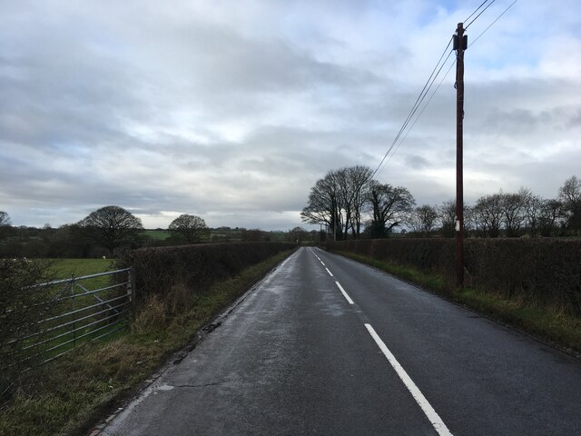
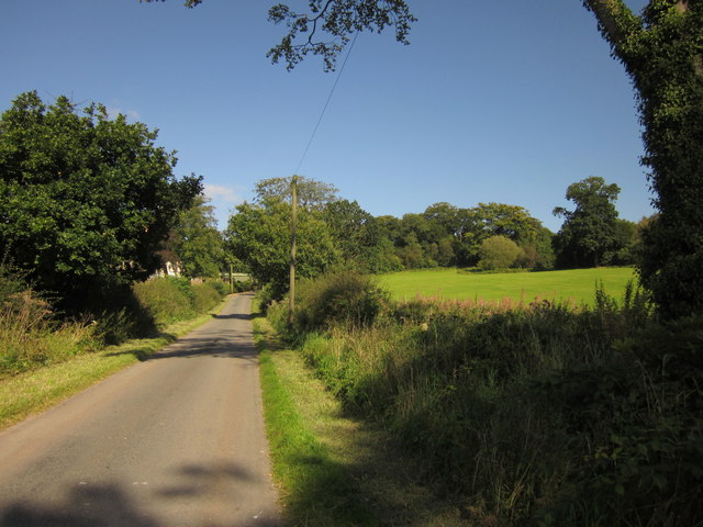
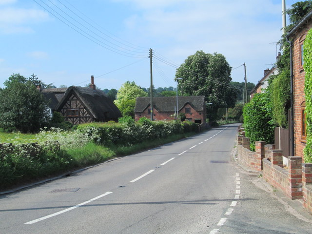
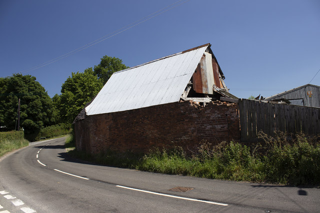
Wheatlow Brooks is a small rural village located in the county of Staffordshire, England. Situated approximately 6 miles southwest of the town of Uttoxeter, it is nestled amidst picturesque countryside, characterized by rolling hills and fields.
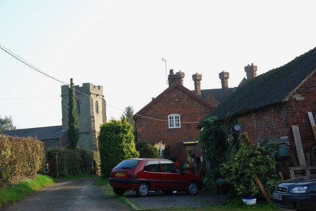
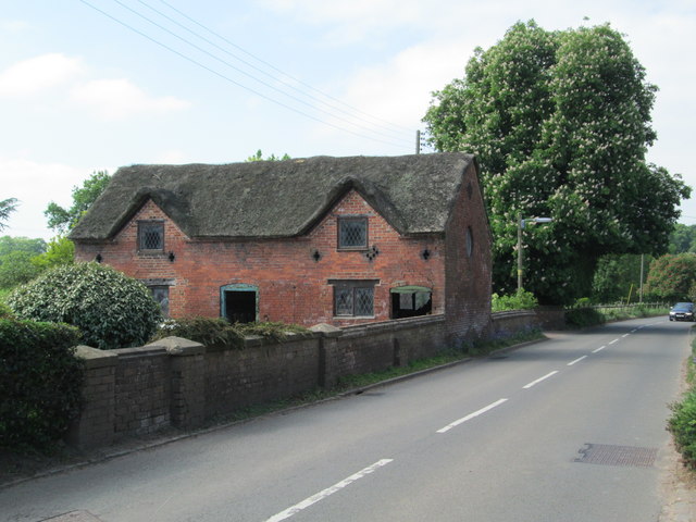
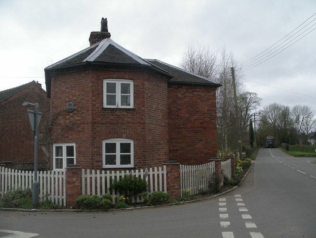
With a population of around 500 residents, Wheatlow Brooks offers a tranquil and close-knit community atmosphere. The village is primarily residential, consisting of a mix of traditional stone cottages and more modern houses. Many properties in the area boast expansive gardens and scenic views.
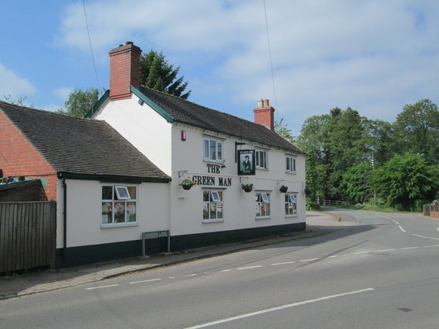
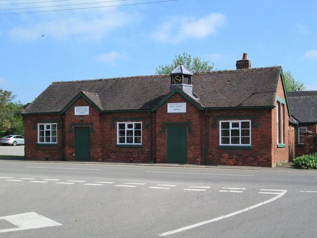
Despite its small size, Wheatlow Brooks has a few amenities to cater to the local population. These include a village hall, which serves as a hub for social events and community gatherings. There is also a small convenience store that provides basic grocery items to residents.
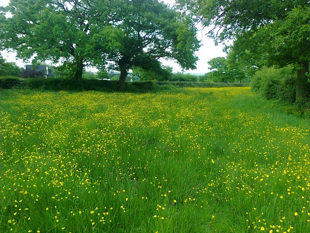
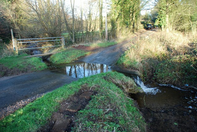
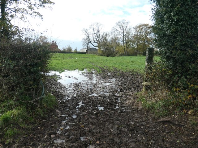
The village is surrounded by beautiful natural landscapes, making it an ideal location for outdoor enthusiasts. Numerous footpaths and bridleways crisscross the area, offering opportunities for leisurely walks, cycling, and horse riding. Additionally, nearby nature reserves provide excellent birdwatching and wildlife spotting opportunities.
For educational needs, Wheatlow Brooks falls within the catchment area of several primary and secondary schools in the neighboring towns. Public transportation options are limited, with the nearest train station located in Uttoxeter, providing connections to larger cities such as Derby and Stoke-on-Trent.
Overall, Wheatlow Brooks is a charming and peaceful village, providing a quintessential English countryside experience for its residents.
If you have any feedback on the listing, please let us know in the comments section below.
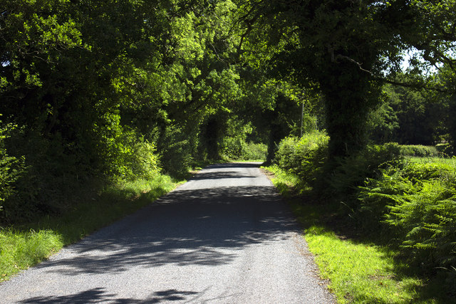
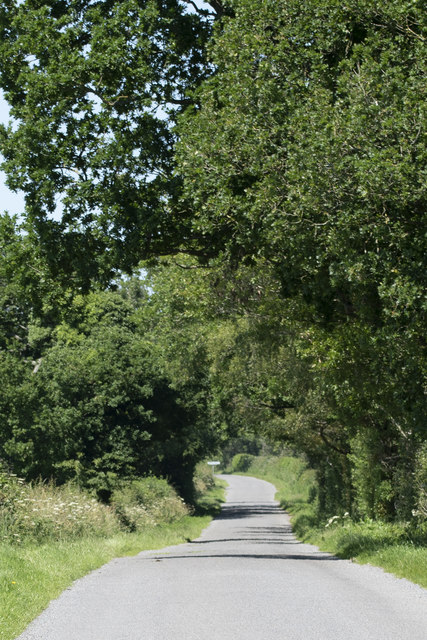
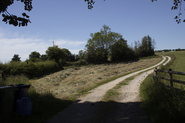
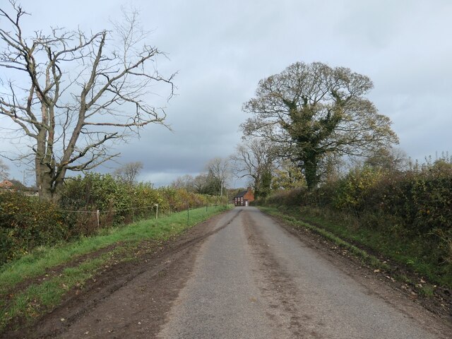
Wheatlow Brooks Images
Images are sourced within 2km of 52.903367/-2.0402188 or Grid Reference SJ9733. Thanks to Geograph Open Source API. All images are credited.

Wheatlow Brooks is located at Grid Ref: SJ9733 (Lat: 52.903367, Lng: -2.0402188)
Administrative County: Staffordshire
District: Stafford
Police Authority: Staffordshire
What 3 Words
///stability.fell.regularly. Near Stone, Staffordshire
Nearby Locations
Related Wikis

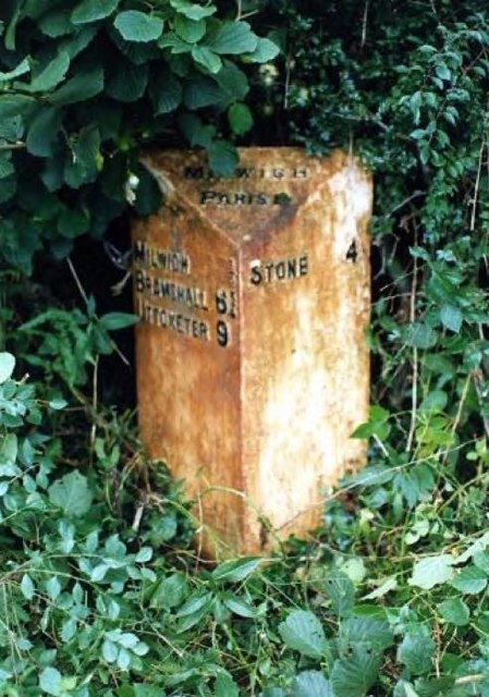
Milwich
Milwich is a village and a civil parish in the English county of Staffordshire. == Location == The village is 7.8 miles (12.6 km) north east of the town...

Coton Hill, Staffordshire
Coton Hill is a hamlet in the English county of Staffordshire. Coton Hill is located east of the village of Milwich on the B5027 road between Stone and...

Hilderstone
Hilderstone is a village and a civil parish in the English county of Staffordshire. == Location == The village is 8.6 miles (13.8 km) north of the town...

Fradswell
Fradswell is a village in Staffordshire, England, approximately 7 miles (10 km) north-east of the town of Stafford and 7 miles (11 km) north of Colwich...
Leigh railway station (Staffordshire)
Leigh railway station was a railway station in Staffordshire, England. The railway line between Stoke-on-Trent and Uttoxeter was opened by the North Staffordshire...

Fulford, Staffordshire
Fulford is a village and civil parish about 5 miles (8 km) north east of Stone, in the Stafford district, in the county of Staffordshire, England. The...

Sandon, Staffordshire
Sandon is a village in the civil parish of Sandon and Burston, in the Stafford district, in the county of Staffordshire, England. It is about 4.5 miles...

Cresswell railway station
Cresswell railway station was a railway station located on the Stoke-Derby line at Cresswell, Staffordshire, England. It was opened by the North Staffordshire...
Nearby Amenities
Located within 500m of 52.903367,-2.0402188Have you been to Wheatlow Brooks?
Leave your review of Wheatlow Brooks below (or comments, questions and feedback).