Chadwich Manor Estate

Heritage Site in Worcestershire Bromsgrove

England

Chadwich Manor Estate

The M5 skirts a hillock Seen from the lane that leads to Chadwich Grange.
The M5 skirts a hillock Credit: Adrian Bailey

Chadwich Manor Estate, located in Worcestershire, England, is a historic heritage site that boasts a rich history spanning over several centuries. The estate is situated amidst picturesque countryside, surrounded by lush greenery and rolling hills, creating a serene and tranquil atmosphere.

The manor itself dates back to the 16th century, although parts of the original structure have been modified and renovated over time. The architectural style of Chadwich Manor Estate reflects the Tudor era, with its distinctive timber-framed design and ornate detailing. The manor's interior is equally impressive, featuring period furnishings, intricate woodwork, and elegant tapestries that offer a glimpse into the lavish lifestyle of its former occupants.

In addition to the manor, the estate includes beautifully landscaped gardens and grounds that span across several acres. These gardens are meticulously maintained and showcase a variety of plants, flowers, and shrubs, creating a delightful display of colors and scents throughout the year. Visitors can explore the manicured lawns, meandering pathways, and hidden alcoves, finding peace and tranquility in nature's embrace.

Chadwich Manor Estate is not only a visual delight but also a place of historical significance. Over the years, it has been home to various notable figures and has witnessed many significant events. The estate offers guided tours, allowing visitors to learn about its fascinating history and discover the stories of its previous inhabitants.

Today, Chadwich Manor Estate stands as a testament to Worcestershire's rich heritage, providing visitors with a unique opportunity to step back in time and experience the grandeur of a bygone era.

If you have any feedback on the listing, please let us know in the comments section below.

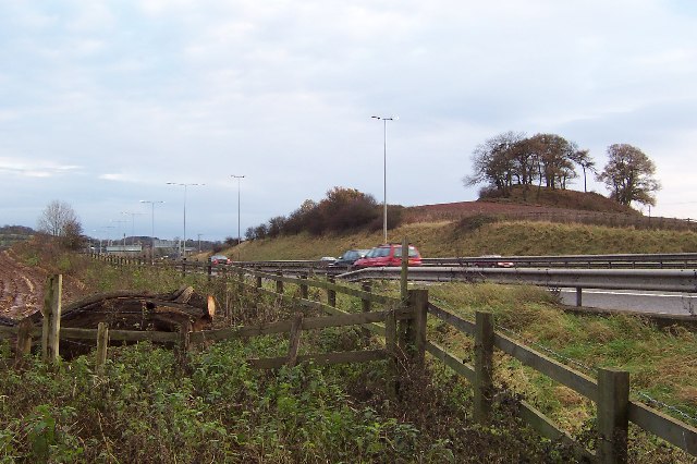
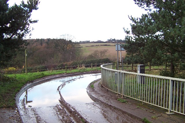
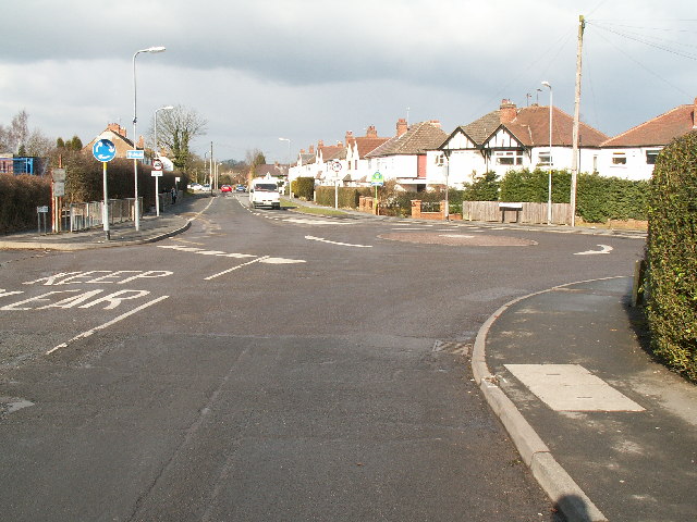
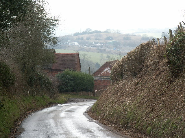
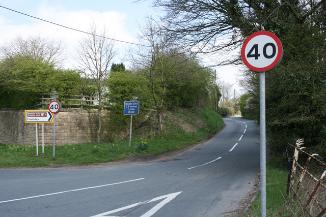
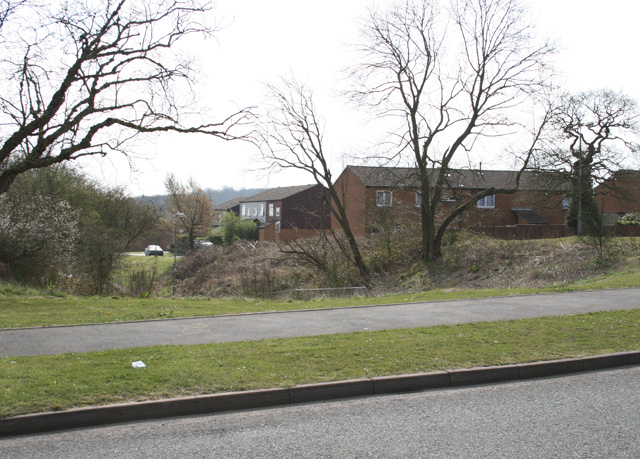
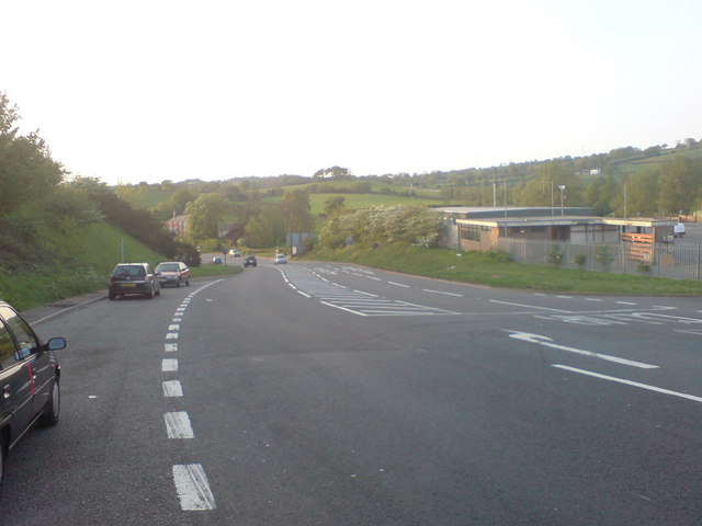
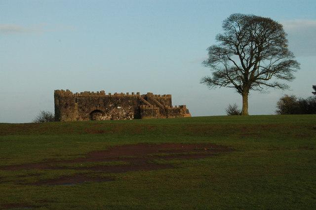
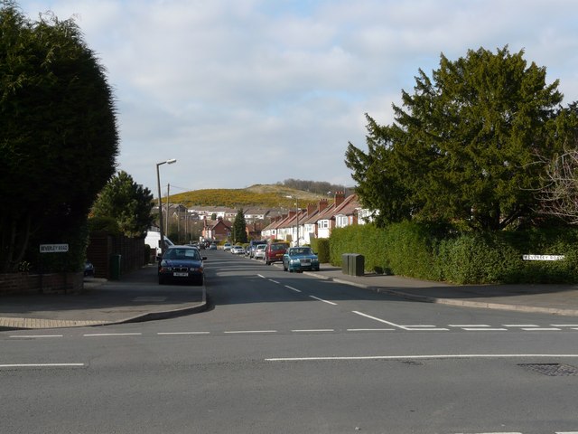
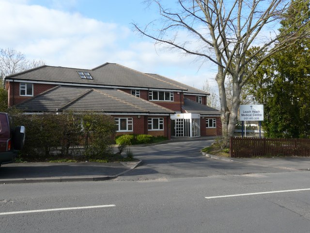
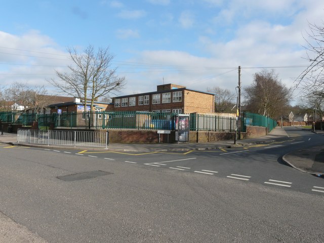
Chadwich Manor Estate Images

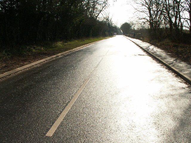
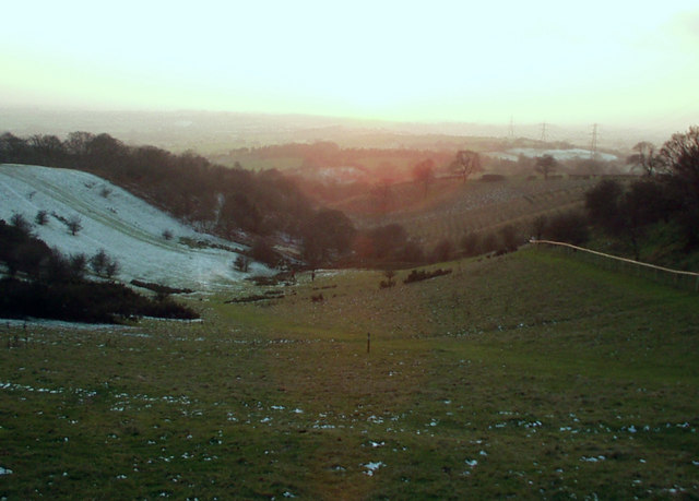
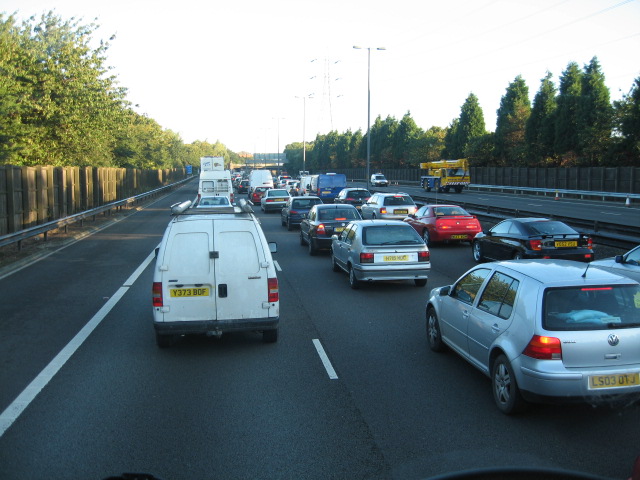
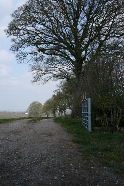
Images are sourced within 2km of 52.392/-2.041 or Grid Reference SO9777. Thanks to Geograph Open Source API. All images are credited.

The M5 skirts a hillock Seen from the lane that leads to Chadwich Grange.
The M5 skirts a hillock
Seen from the lane that leads to Chadwich Grange.
From Chapman's Hill The view towards Romsley Hill from the farm bridge over the M5.
From Chapman's Hill
The view towards Romsley Hill from the farm bridge over the M5.
Toposcope, Beacon Hill The toposcope on Beacon Hill (298m) was constructed in 1923 after Beacon Hill was donated to the City of Birmingham by the Cadbury family. The toposcope was restored in 1988. From this viewpoint on a good day 13 old counties can be seen. Going east from the summit there is no higher land at the same latitude until you reach the Ural Mountains in Russia (I've checked this using Google Earth).
Toposcope, Beacon Hill
The toposcope on Beacon Hill (298m) was constructed in 1923 after Beacon Hill was donated to the City of Birmingham by the Cadbury family. The toposcope was restored in 1988. From this viewpoint on a good day 13 old counties can be seen. Going east from the summit there is no higher land at the same latitude until you reach the Ural Mountains in Russia (I've checked this using Google Earth).
Beacon Hill Looking south-west towards the car park from near the toposcope.
Beacon Hill
Looking south-west towards the car park from near the toposcope.
Road junction , Rubery The junction of School Road, Gannow Road and Gunner Lane in the south west corner of the square, looking north east. Waseley Hills High School and Holywell Junior School are just to the left of the picture.
Road junction , Rubery
The junction of School Road, Gannow Road and Gunner Lane in the south west corner of the square, looking north east. Waseley Hills High School and Holywell Junior School are just to the left of the picture.
Redhill Lane Looking south west towards Redhill Farm. The M5 motorway can be seen climbing up towards junction 4.
Redhill Lane
Looking south west towards Redhill Farm. The M5 motorway can be seen climbing up towards junction 4.
Birmingham Road, Lydiate Ash This road was formerly the A38 - however this section has been bypassed as the A38 now runs via junction 4 of the M5, several hundred metres west. Birmingham, Road is now little more than a quiet country lane, albeit a very wide, straight and well surfaced one.
Birmingham Road, Lydiate Ash
This road was formerly the A38 - however this section has been bypassed as the A38 now runs via junction 4 of the M5, several hundred metres west. Birmingham, Road is now little more than a quiet country lane, albeit a very wide, straight and well surfaced one.
View south west from Windmill Hill, Waseley Hills Country Park Looking down a small valley from the footpath below the summit of the hill, late on a winter afternoon
View south west from Windmill Hill, Waseley Hills Country Park
Looking down a small valley from the footpath below the summit of the hill, late on a winter afternoon
Life in the slow lane Monday morning rush hour on the M5 just past junction 4 heading north
Life in the slow lane
Monday morning rush hour on the M5 just past junction 4 heading north
Farm Track Newtown Lane
Dayhouse Bank Turning for Frankley from B4551
Dayhouse Bank
Turning for Frankley from B4551
Edge of Housing Estate, Boleyn Road, Rubery
Manchester Inn on B4551
Sandy Lane (A491) looking NW
Beacon Hill Toposcope - Lickey Hills Country Park
Beverley Road with Cock Hill in the background
Leach Heath Medical Centre
St James School
St James School
Show me another place!

Chadwich Manor Estate is located at Grid Ref: SO9777 (Lat: 52.392, Lng: -2.041)

Administrative County: Worcestershire

District: Bromsgrove

Police Authority: West Mercia

What 3 Words

///lights.dart.onion. Near Romsley, Worcestershire

Related Wikis

Waseley Hills High School and Sixth Form Centre

Waseley Hills High School and Sixth Form Centre is a mixed secondary school and sixth form with academy status in the town of Rubery, on the border of...

Waseley Hills Country Park

Waseley Hills Country Park is 150 acres (0.61 km2) a Country Park and Local Nature Reserve owned and managed by Worcestershire County Council's Countryside...

Rubery

Rubery is the name of two adjacent settlements; one a village in the Bromsgrove District of Worcestershire, the other a suburb of Birmingham in the West...

St Chad's Church, Rubery

St Chad’s Church, Rubery is a Church of England parish church in Rubery, Worcestershire. == History == The church evolved in 1895 as a mission church from...

Nearby Amenities

Located within 500m of 52.392,-2.041
Barrier: cattle_grid
Bicycle: yes
Foot: yes
Lat/Long: 52.3883949/-2.0420283
Fixme: continue
Lat/Long: 52.3885385/-2.0418002
Barrier: cattle_grid
Lat/Long: 52.3937638/-2.0470975
Fixme: continue
Lat/Long: 52.3957343/-2.0374242
Barrier: kissing_gate
Source: survey
Lat/Long: 52.3902886/-2.0344878
Barrier: stile
Lat/Long: 52.3927449/-2.0377547
Barrier: kissing_gate
Source: survey
Lat/Long: 52.3894639/-2.0385719
Man Made: pipeline_marker
Source: survey
Lat/Long: 52.3924201/-2.0373468
Barrier: kissing_gate
Source: survey
Lat/Long: 52.3933647/-2.0387704
Barrier: stile
Lat/Long: 52.3948298/-2.0379435
Waseley Hill
Natural: peak
Lat/Long: 52.3963701/-2.0401923
Holywell Hill
Natural: peak
Lat/Long: 52.3907919/-2.0370488
Barrier: kissing_gate
Lat/Long: 52.3925308/-2.0381737
Barrier: kissing_gate
Lat/Long: 52.3906143/-2.0347084
Bench
Backrest: yes
Material: wood
Lat/Long: 52.3896274/-2.0384555
Bench
Backrest: yes
Material: wood
Lat/Long: 52.3906925/-2.0358707
Barrier: kissing_gate
Lat/Long: 52.3923838/-2.0360641
Power: pole
Source: bing
Lat/Long: 52.3943652/-2.0350054
Power: pole
Source: bing
Lat/Long: 52.3937743/-2.0363787
Power: pole
Source: bing
Lat/Long: 52.3936074/-2.0374891
Power: pole
Source: bing
Lat/Long: 52.3934781/-2.0384359
Power: pole
Source: bing
Lat/Long: 52.3932718/-2.040005
Power: pole
Source: bing
Lat/Long: 52.3931327/-2.0413381
Power: pole
Source: bing
Lat/Long: 52.3929674/-2.0428535
Power: pole
Source: bing
Lat/Long: 52.3927857/-2.0444709
Power: pole
Ref: 721303
Source: wpd_open_data
Transformer: distribution
Lat/Long: 52.3928446/-2.0458522
Power: pole
Source: bing
Lat/Long: 52.3930067/-2.0476708
The data included in this document is from www.openstreetmap.org. The data is made available under ODbL.

Have you been to Chadwich Manor Estate?

Leave your review of Chadwich Manor Estate below (or comments, questions and feedback).