Penny Fields
Wood, Forest in Worcestershire Bromsgrove
England
Penny Fields
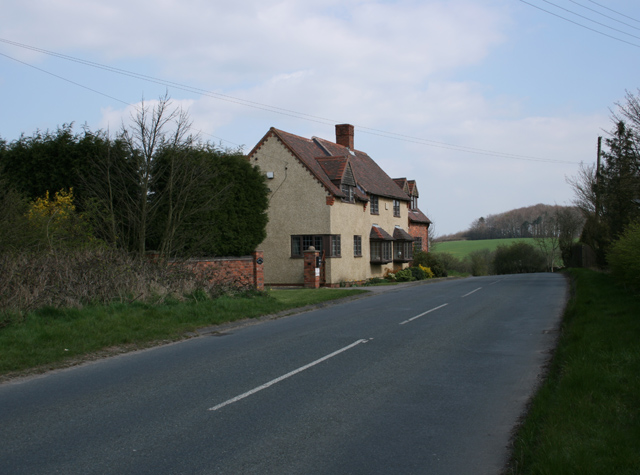
Penny Fields is a charming village located in the county of Worcestershire, known for its beautiful woodlands and serene forested areas. Situated in the heart of England, this small village is home to a close-knit community of approximately 500 residents.
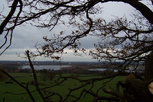
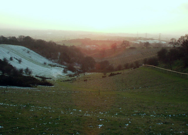
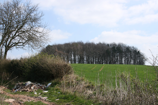
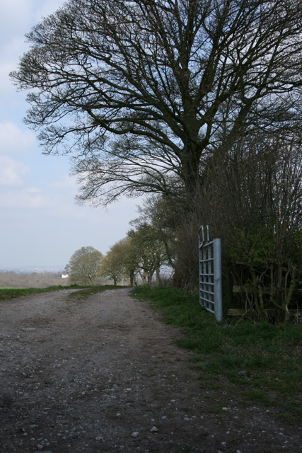
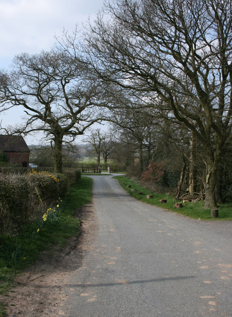
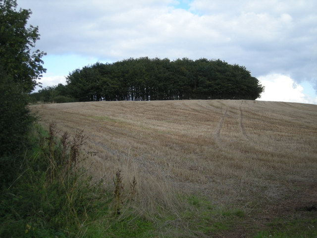
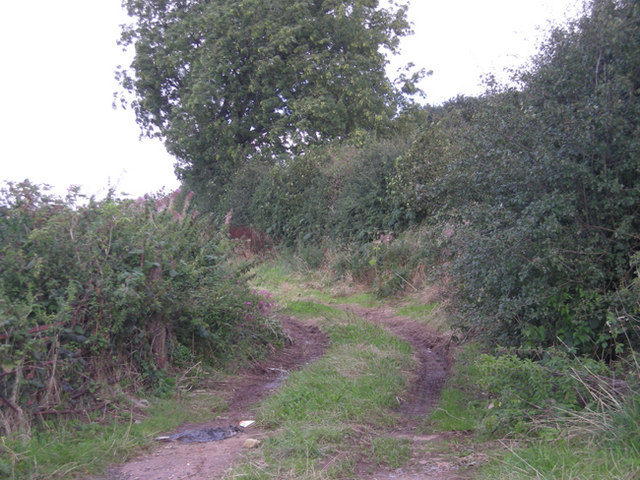
The village is blessed with natural beauty, as it is surrounded by dense woodlands and picturesque forests. The enchanting Penny Woods, which gives the village its name, is a popular attraction for both locals and visitors. The woods are filled with an array of flora and fauna, creating a haven for nature lovers and wildlife enthusiasts. Visitors can enjoy peaceful walks along the well-maintained trails, taking in the fresh air and marveling at the beauty of the forest.
Aside from its natural wonders, Penny Fields also boasts a rich history. The village is home to several historic buildings, including a 14th-century church that stands as a testament to its past. The local community takes great pride in preserving the village's heritage, evident in the well-preserved architecture and the numerous historical landmarks.
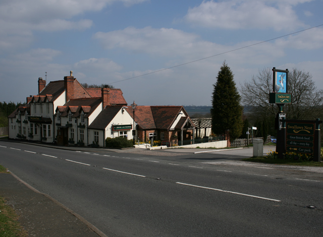
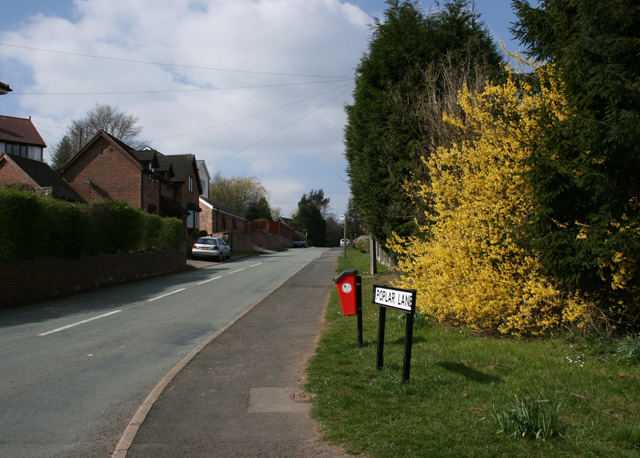
Despite its small size, Penny Fields offers a range of amenities to its residents. The village has a quaint village shop that caters to the daily needs of the locals, as well as a cozy pub where the community gathers for socializing and enjoying a pint. The village also hosts various events and festivals throughout the year, bringing the community together and showcasing the village's vibrant spirit.
In conclusion, Penny Fields is a hidden gem in Worcestershire, offering a perfect blend of natural beauty, rich history, and a close-knit community. Whether it's exploring the enchanting woodlands or immersing oneself in the village's cultural events, Penny Fields provides a peaceful and idyllic setting for residents and visitors alike.
If you have any feedback on the listing, please let us know in the comments section below.
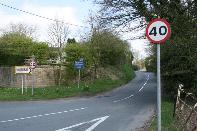
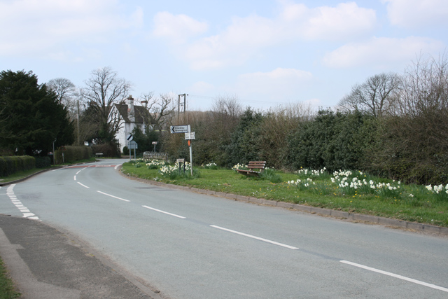
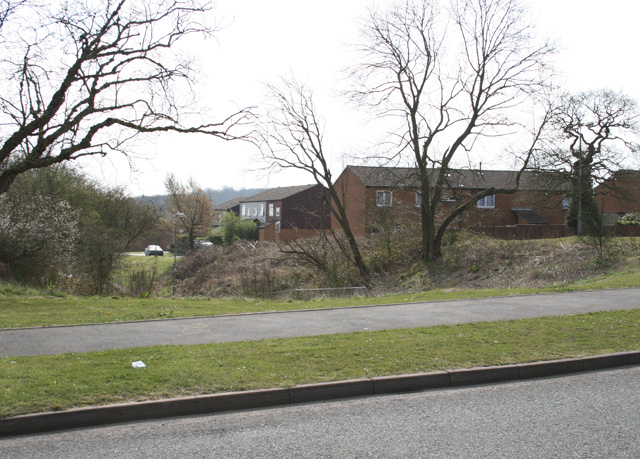
Penny Fields Images
Images are sourced within 2km of 52.415164/-2.0405348 or Grid Reference SO9779. Thanks to Geograph Open Source API. All images are credited.


Penny Fields is located at Grid Ref: SO9779 (Lat: 52.415164, Lng: -2.0405348)
Administrative County: Worcestershire
District: Bromsgrove
Police Authority: West Mercia
What 3 Words
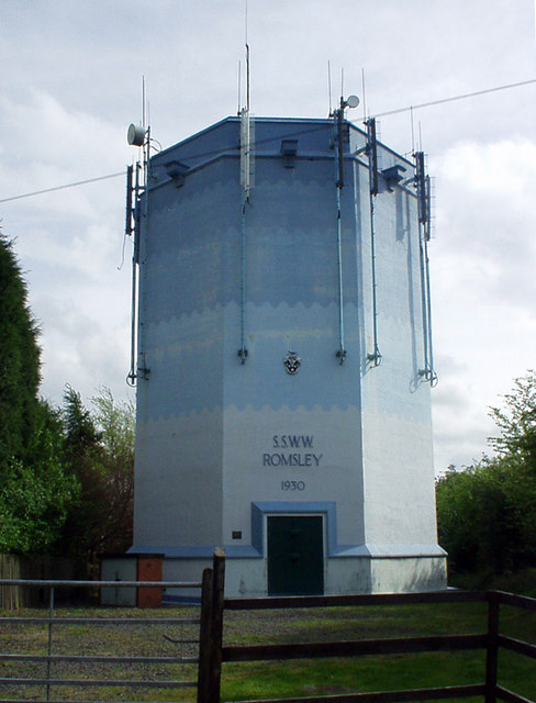
///young.reward.resist. Near Romsley, Worcestershire
Nearby Locations
Related Wikis
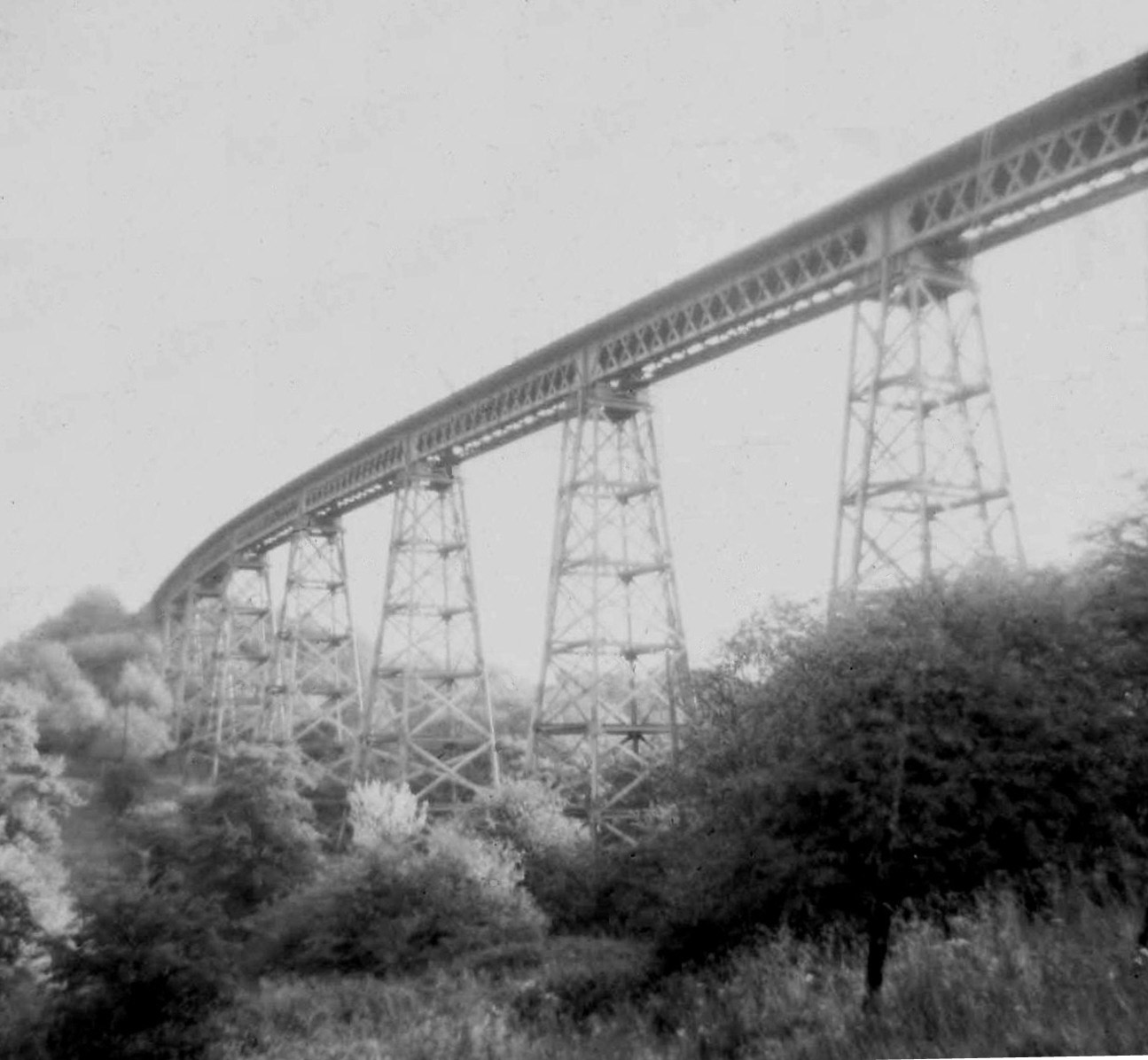
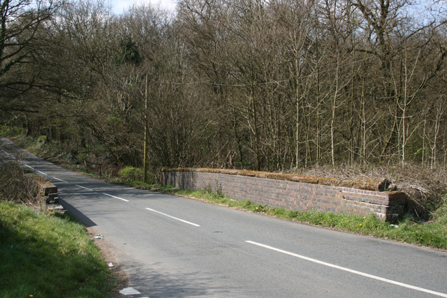
Dowery Dell Viaduct
Dowery Dell, between Rubery and Halesowen in Worcestershire, was a 234 yards (214 m), nine span lattice steel, single-track railway viaduct that carried...

Romsley, Worcestershire
Romsley is a village and civil parish in the Bromsgrove District of Worcestershire, England, on the east side of the Clent Hills about 4 miles south of...

Waseley Hills Country Park
Waseley Hills Country Park is 150 acres (0.61 km2) a Country Park and Local Nature Reserve owned and managed by Worcestershire County Council's Countryside...
Illey Pastures
Illey Pastures is a 3.5-hectare (8.6-acre) biological site of Special Scientific Interest in the West Midlands. The site was notified in 1989 under the...

Hunnington railway station
Hunnington railway station was a railway station in the village of Hunnington, near Halesowen, England, on the Great Western Railway & Midland Railway...

Hunnington
Hunnington is a village and civil parish in the Bromsgrove District of Worcestershire, England, close to the border with West Midlands, and just south...
New Frankley
New Frankley in Birmingham is a civil parish in Birmingham, England. As such, it has its own parish council. == History == It was established in 2000 in...
King Edward VI Balaam Wood Academy
King Edward VI Balaam Wood Academy is a coeducational secondary school located in the New Frankley area of Birmingham, West Midlands, England.The school...
Nearby Amenities
Located within 500m of 52.415164,-2.0405348Have you been to Penny Fields?
Leave your review of Penny Fields below (or comments, questions and feedback).