Long Saw Croft

Wood, Forest in Worcestershire Bromsgrove

England

Long Saw Croft

A Prospect of Birmingham The view from Frankley Beeches. Below, the reservoirs where the city's water is kept when it arrives from Wales.
A Prospect of Birmingham Credit: Adrian Bailey

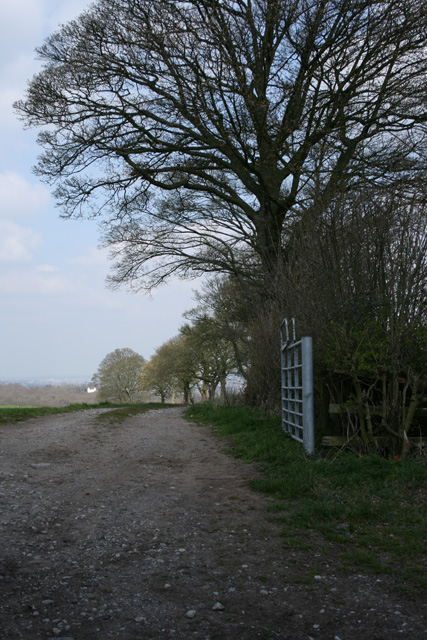
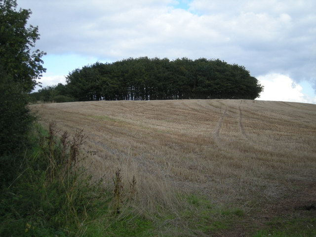
Long Saw Croft is a small wooded area situated in the county of Worcestershire, England. It is located within the larger expanse of the Wyre Forest and covers an area of approximately 10 acres. The croft is named after the long saws that were once used to fell trees in the area.

The woodland is predominantly composed of deciduous trees, such as oak, beech, and ash, creating a diverse and vibrant ecosystem. This rich variety of trees provides a habitat for a wide range of wildlife, including birds, small mammals, and insects. The forest floor is covered in a thick layer of leaf litter, creating a fertile ground for a variety of plant species, including bluebells, wild garlic, and ferns.

Long Saw Croft is intersected by several footpaths, allowing visitors to explore the woodland and appreciate its natural beauty. The paths wind through the trees, providing glimpses of sunlight filtering through the dense canopy. The croft is a popular spot for nature enthusiasts, walkers, and photographers, who are drawn to its tranquil atmosphere and picturesque scenery.

Managed by the Forestry Commission, Long Saw Croft is well-maintained, with regular thinning and coppicing to ensure the health and longevity of the trees. The area is also occasionally used for educational purposes, with school groups visiting to learn about the importance of woodlands and conservation efforts.

Overall, Long Saw Croft is a cherished natural space within Worcestershire, offering a peaceful retreat and an opportunity to connect with nature.

If you have any feedback on the listing, please let us know in the comments section below.

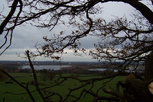
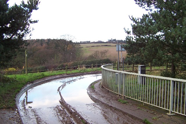
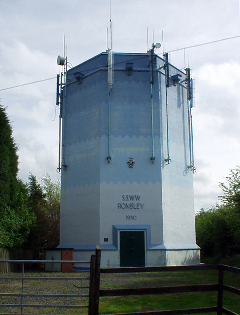
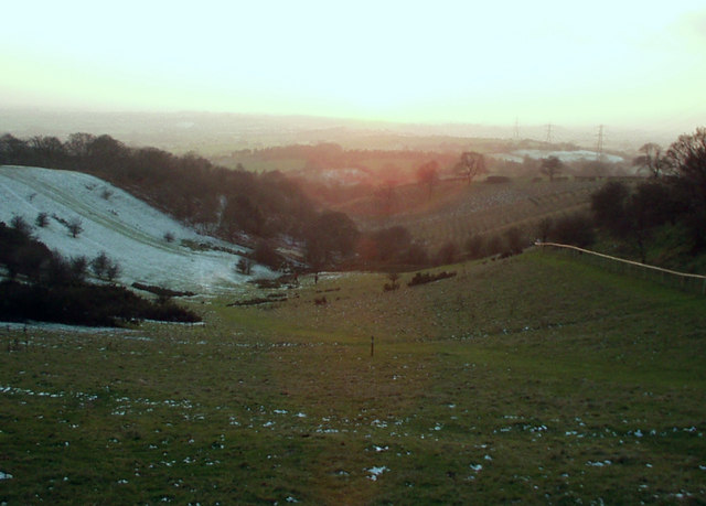
Long Saw Croft Images

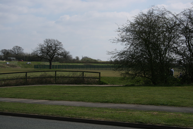
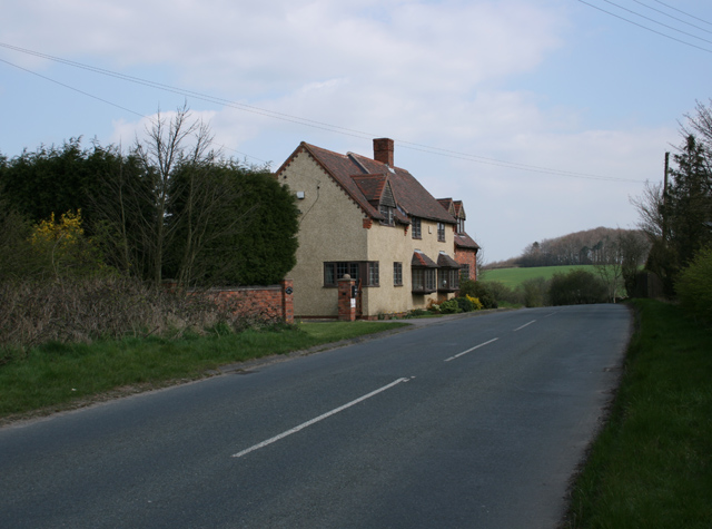
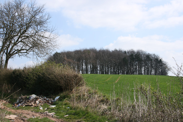
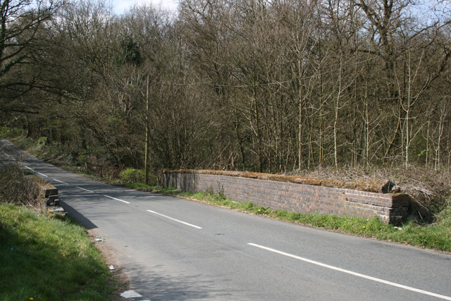
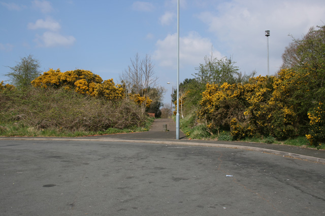
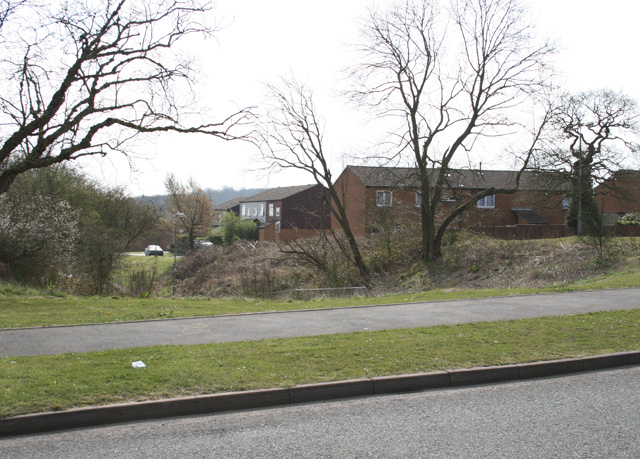
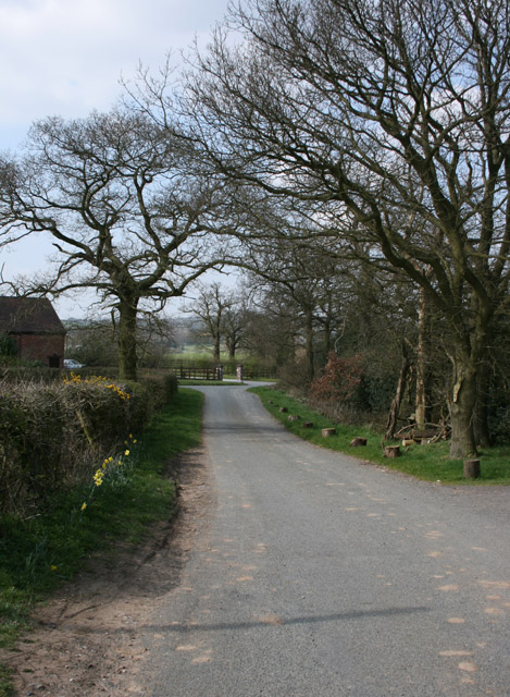
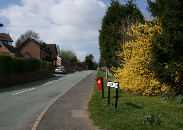
Images are sourced within 2km of 52.411829/-2.0402818 or Grid Reference SO9779. Thanks to Geograph Open Source API. All images are credited.

A Prospect of Birmingham The view from Frankley Beeches. Below, the reservoirs where the city's water is kept when it arrives from Wales.
A Prospect of Birmingham
The view from Frankley Beeches. Below, the reservoirs where the city's water is kept when it arrives from Wales.
From Chapman's Hill The view towards Romsley Hill from the farm bridge over the M5.
From Chapman's Hill
The view towards Romsley Hill from the farm bridge over the M5.
Water Tower, Romsley Hill Located on the south side of Farley Lane at the top of the hill.
Water Tower, Romsley Hill
Located on the south side of Farley Lane at the top of the hill.
View south west from Windmill Hill, Waseley Hills Country Park Looking down a small valley from the footpath below the summit of the hill, late on a winter afternoon
View south west from Windmill Hill, Waseley Hills Country Park
Looking down a small valley from the footpath below the summit of the hill, late on a winter afternoon
Boleyn Road Common Land
Boleyn Road
Common Land
Frankley Hill Lane Frankley Beeches in the background
Frankley Hill Lane
Frankley Beeches in the background
Frankley Beeches
Frankley Beeches
Dismantled Railway Bridge Junction of Newtown Lane, Oxwood Lane and Yew Tree Lane
Dismantled Railway Bridge
Junction of Newtown Lane, Oxwood Lane and Yew Tree Lane
Farm Track Newtown Lane
Dayhouse Bank Turning for Frankley from B4551
Dayhouse Bank
Turning for Frankley from B4551
Swallow's Nest Pub, Romsley
St Kenelm's Road Romsley Junction with Dark Lane
St Kenelm's Road Romsley
Junction with Dark Lane
Path adjoining Bus Stop, Arden Road Rubery
Edge of Housing Estate, Boleyn Road, Rubery
Pound Lane, Frankley Hill
Manchester Inn on B4551
Poplar Lane, Romsley
Frankley Beeches, a local landmark
Show me another place!

Long Saw Croft is located at Grid Ref: SO9779 (Lat: 52.411829, Lng: -2.0402818)

Administrative County: Worcestershire

District: Bromsgrove

Police Authority: West Mercia

What 3 Words

///sock.making.tamed. Near Romsley, Worcestershire

Related Wikis

Waseley Hills Country Park

Waseley Hills Country Park is 150 acres (0.61 km2) a Country Park and Local Nature Reserve owned and managed by Worcestershire County Council's Countryside...

Romsley, Worcestershire

Romsley is a village and civil parish in the Bromsgrove District of Worcestershire, England, on the east side of the Clent Hills about 4 miles south of...
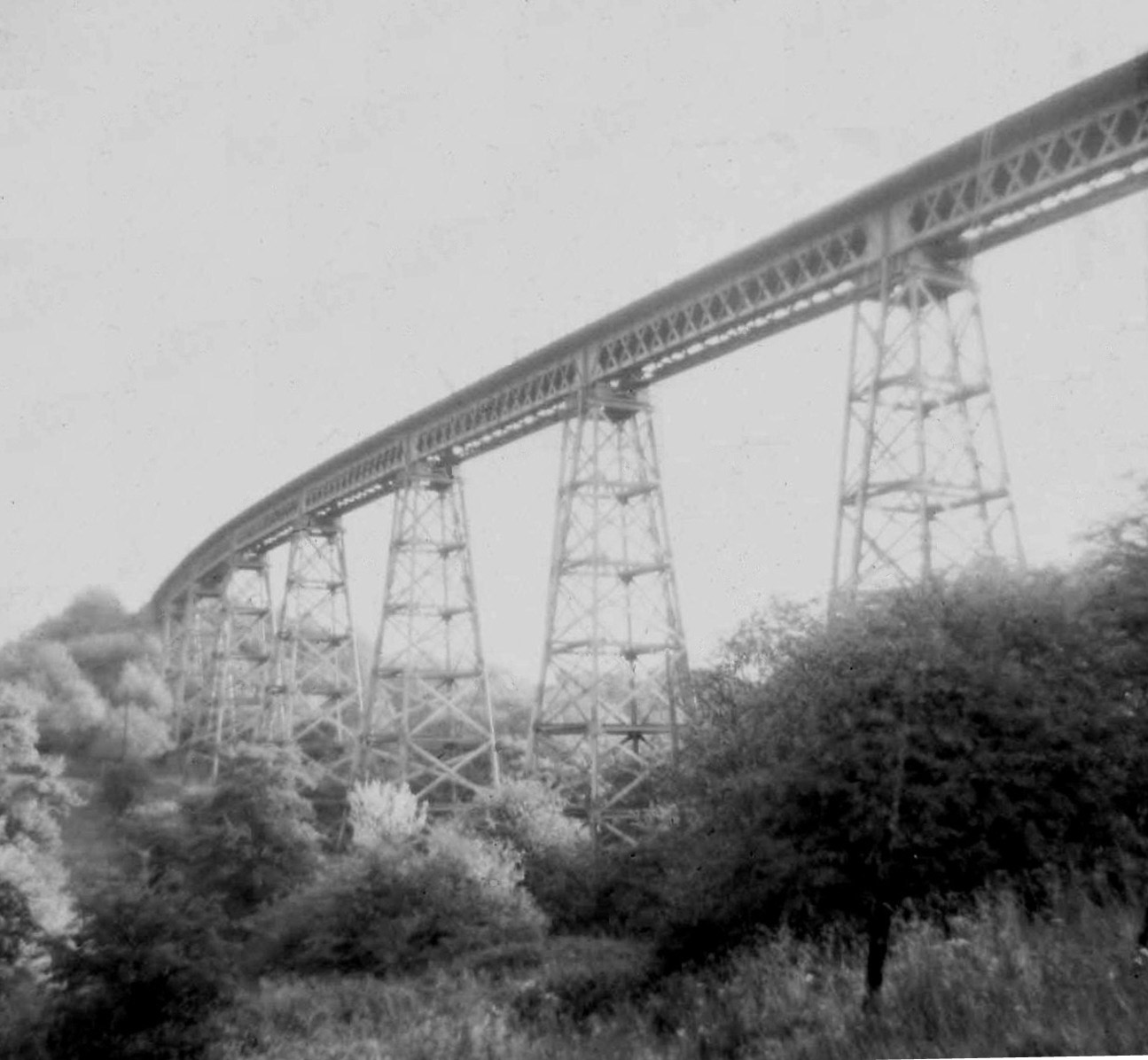
Dowery Dell Viaduct

Dowery Dell, between Rubery and Halesowen in Worcestershire, was a 234 yards (214 m), nine span lattice steel, single-track railway viaduct that carried...

New Frankley

New Frankley in Birmingham is a civil parish in Birmingham, England. As such, it has its own parish council. == History == It was established in 2000 in...

Nearby Amenities

Located within 500m of 52.411829,-2.0402818
Barrier: stile
Foot: yes
Source: survey
Lat/Long: 52.4145609/-2.040018
Barrier: kissing_gate
Foot: yes
Lat/Long: 52.4091355/-2.0435683
Barrier: kissing_gate
Foot: yes
Lat/Long: 52.4104588/-2.0429089
FIXME: continue
Lat/Long: 52.414676/-2.0398122
Barrier: stile
Source: survey
Lat/Long: 52.4088267/-2.0375146
Barrier: kissing_gate
Source: survey
Lat/Long: 52.408632/-2.0358235
Pipeline: marker
Substance: gas
Lat/Long: 52.4085551/-2.0404905
Power: pole
Source: bing
Lat/Long: 52.4141228/-2.0422527
Power: pole
Source: bing
Lat/Long: 52.4134341/-2.042757
Power: pole
Source: bing
Lat/Long: 52.4126569/-2.0433256
Power: pole
Source: bing
Lat/Long: 52.4109341/-2.0444736
Power: pole
Source: bing
Lat/Long: 52.4101275/-2.0449483
Power: pole
Source: bing
Lat/Long: 52.4092472/-2.0454606
Power: pole
Source: bing
Lat/Long: 52.4078777/-2.0428777
Power: pole
Source: bing
Lat/Long: 52.4084275/-2.0447981
Power: pole
Source: bing
Lat/Long: 52.4081804/-2.0438969
Power: pole
Source: bing
Lat/Long: 52.4074948/-2.04155
Ford: yes
Lat/Long: 52.4162553/-2.0398856
The data included in this document is from www.openstreetmap.org. The data is made available under ODbL.

Have you been to Long Saw Croft?

Leave your review of Long Saw Croft below (or comments, questions and feedback).