Lanehouse Copse
Wood, Forest in Cheshire
England
Lanehouse Copse
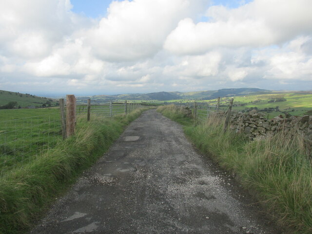
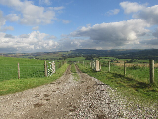
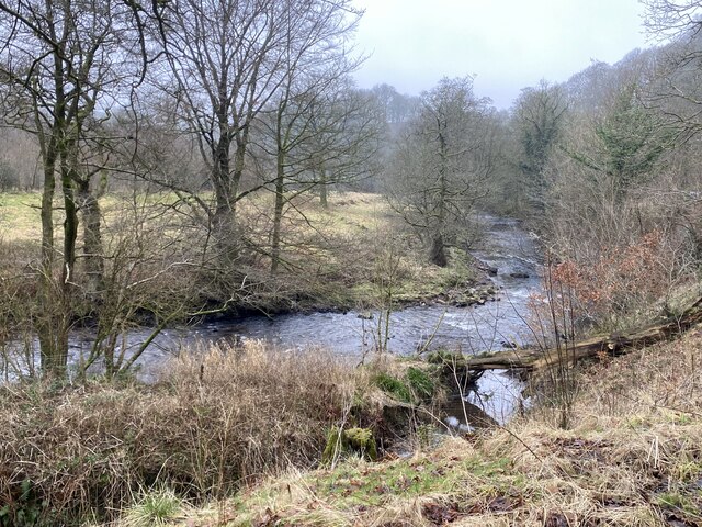
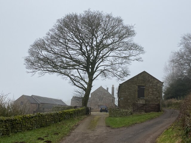
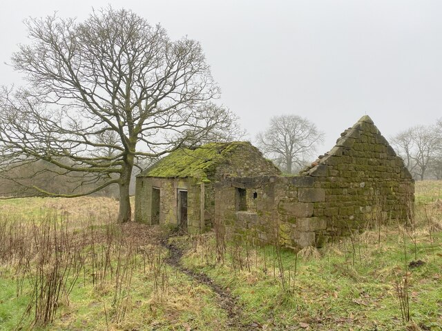
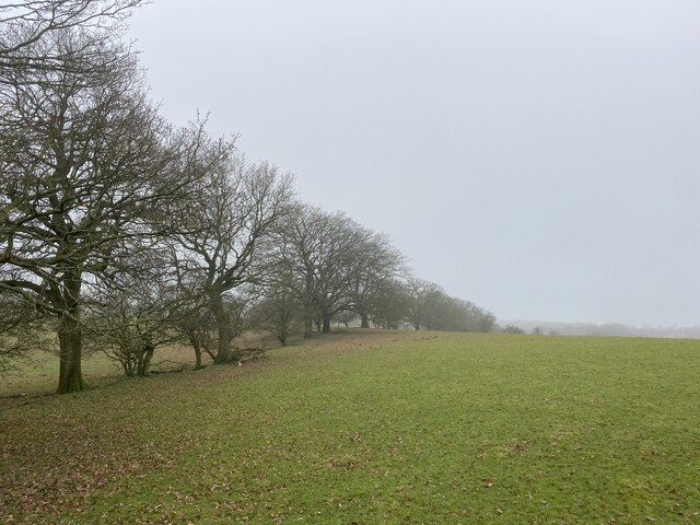
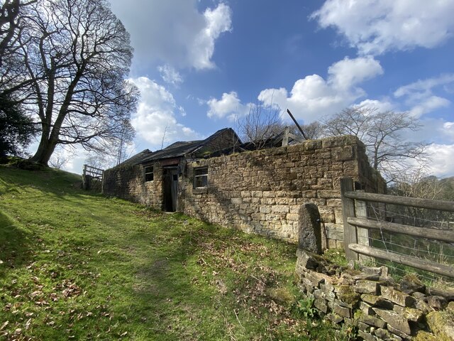
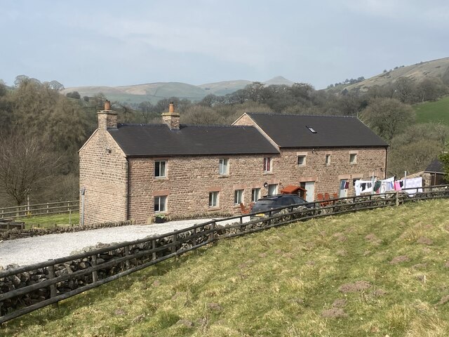
Lanehouse Copse is a picturesque woodland located in the county of Cheshire, England. Situated near the village of Lanehouse, this copse covers an area of approximately 20 acres and is a popular destination for nature enthusiasts and outdoor enthusiasts alike.
The copse is predominantly made up of deciduous trees such as oak, beech, and birch, creating a beautiful tapestry of colors during the autumn months. These trees provide a rich habitat for a variety of wildlife, including birds, mammals, and insects. The copse is also home to several rare and protected species, such as the lesser spotted woodpecker and the silver-washed fritillary butterfly.
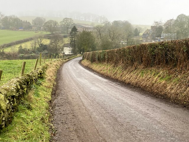
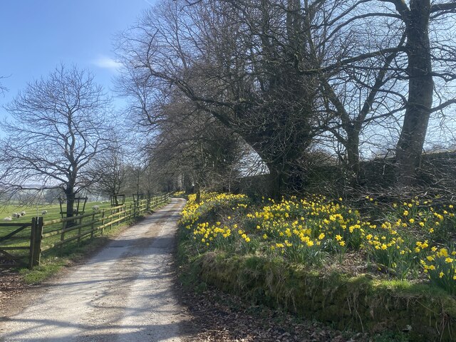
Visitors to Lanehouse Copse can enjoy a network of well-maintained footpaths that meander through the woodland, allowing for peaceful walks and opportunities to observe the local flora and fauna. There are also several benches strategically placed throughout the copse, offering visitors a chance to rest and soak in the tranquil atmosphere.
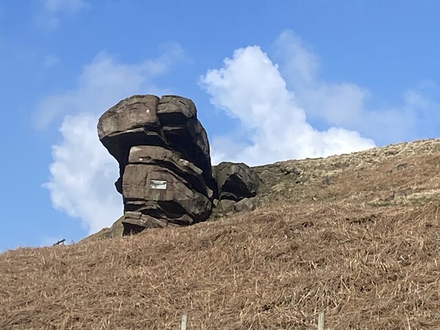
In addition to its natural beauty, Lanehouse Copse has historical significance. It is believed to have been part of a larger forest that covered the region during medieval times. The copse retains an air of mystery and charm, with ancient trees and moss-covered rocks adding to its enchanting ambiance.
Lanehouse Copse is easily accessible by both car and public transportation, with ample parking available nearby. The copse is open to the public year-round, and visitors are encouraged to respect the natural environment and follow any posted guidelines or regulations. Whether it's to enjoy a leisurely stroll, observe wildlife, or simply escape the hustle and bustle of everyday life, Lanehouse Copse offers a serene retreat for all who visit.
If you have any feedback on the listing, please let us know in the comments section below.
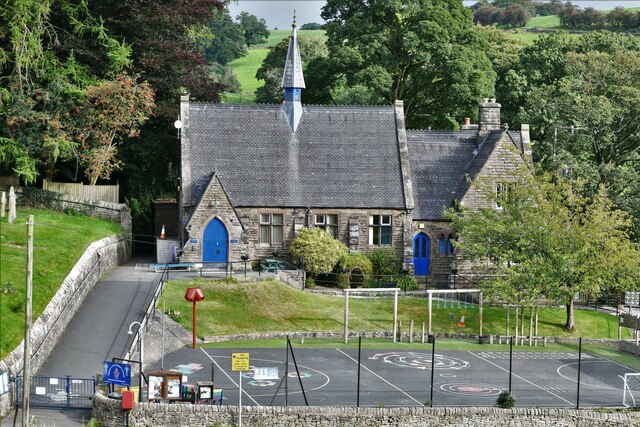
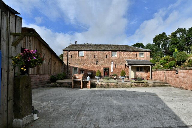
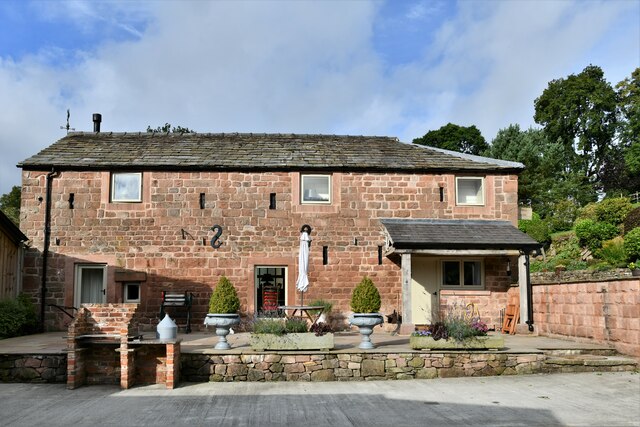
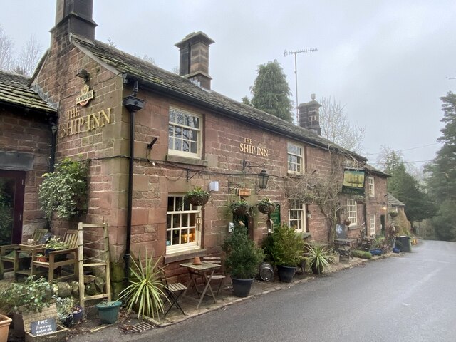
Lanehouse Copse Images
Images are sourced within 2km of 53.191043/-2.0649146 or Grid Reference SJ9565. Thanks to Geograph Open Source API. All images are credited.
Lanehouse Copse is located at Grid Ref: SJ9565 (Lat: 53.191043, Lng: -2.0649146)
Unitary Authority: Cheshire East
Police Authority: Cheshire
What 3 Words
///canines.sandpaper.wanting. Near Macclesfield, Cheshire
Nearby Locations
Related Wikis

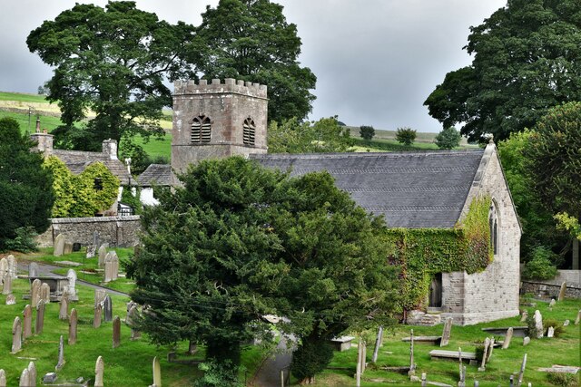
St Michael's Church, Wincle
St Michael's Church is in the village of Wincle, Cheshire, England. It is an active Anglican parish church in the diocese of Chester, the archdeaconry...
Wincle
Wincle is a village and civil parish in the Cheshire East district of Cheshire, England. It holds parish meetings, rather than parish council meetings...

Bosley Minn
Bosley Minn is one of two names – the other being Wincle Minn – given to a prominent hill in southeast Cheshire and in the southwestern corner of the Peak...

Allgreave
Allgreave is a village in Cheshire, England. It lies on the A54 (Buxton to Congleton) road, near to the border with Staffordshire. Allgreave Methodist...

Swythamley Hall
Swythamley Hall is a late 18th-century country house near Leek, Staffordshire which has been converted into four separate residences. It is a Grade II...

Silk 106.9
Cheshire's Silk Radio is an Independent Local Radio serving Macclesfield and parts of East Cheshire, owned and operated by neighbouring station Chester...

Croker Hill
Croker Hill stands just outside the western edge of the Peak District national park, overlooking Congleton in Cheshire. Near the summit stands the Sutton...

Sutton Common BT Tower
Sutton Common BT Tower is a 72-metre (238-foot) radio tower built of reinforced concrete at Macclesfield, Cheshire, England. Sutton Common was originally...
Nearby Amenities
Located within 500m of 53.191043,-2.0649146Have you been to Lanehouse Copse?
Leave your review of Lanehouse Copse below (or comments, questions and feedback).