Grange Copse
Wood, Forest in Cheshire
England
Grange Copse
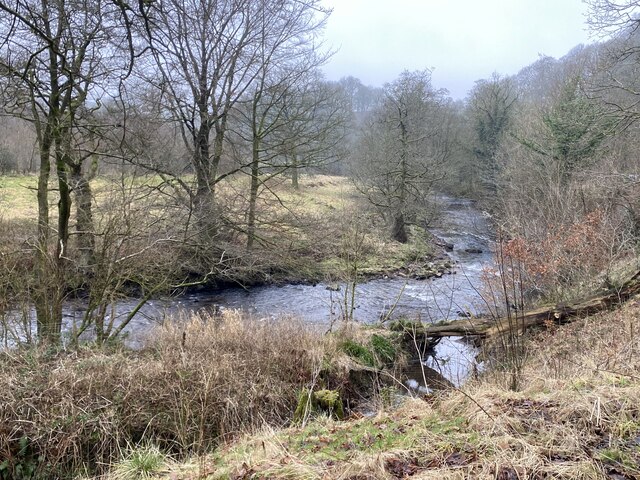
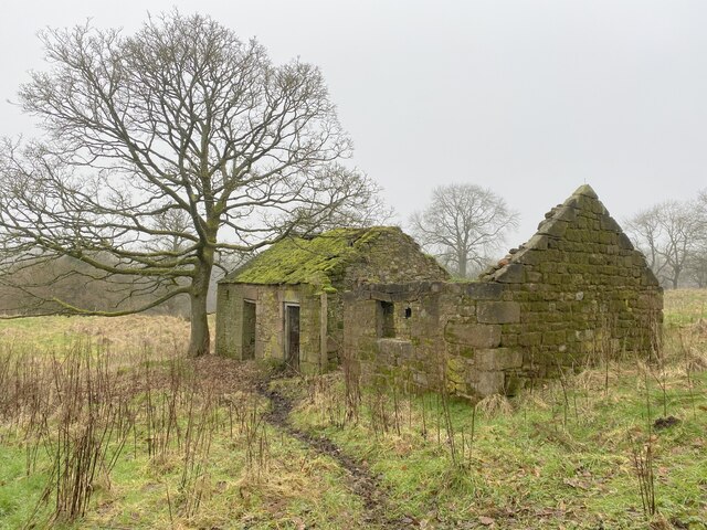
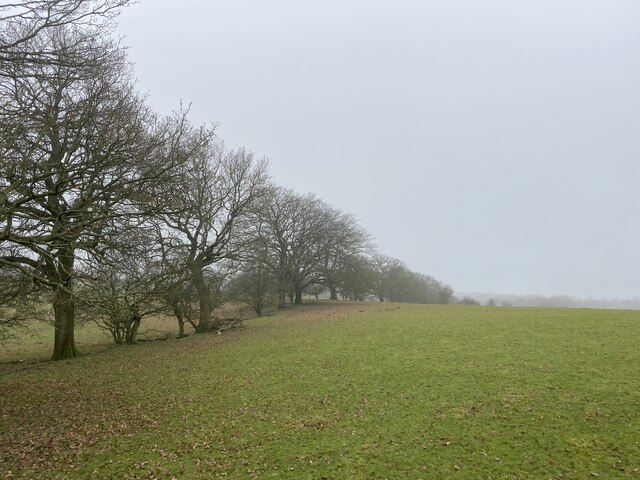
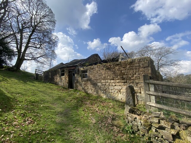
Grange Copse is a picturesque woodland located in the county of Cheshire, England. Situated near the village of Grange, it covers an area of approximately 50 hectares and is known for its diverse range of flora and fauna. The copse is managed by the local authorities and is a designated nature reserve, attracting nature enthusiasts and visitors from far and wide.
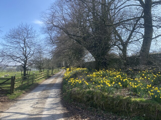
As one enters Grange Copse, they are instantly greeted by a dense canopy of towering oak, beech, and birch trees. The woodland floor is carpeted with a variety of wildflowers, including bluebells, primroses, and wood anemones, creating a kaleidoscope of colors during the spring months. The copse is also home to several species of ferns and mosses, adding to its enchanting beauty.
For wildlife enthusiasts, Grange Copse provides a haven for a variety of bird species, including woodpeckers, tawny owls, and chiffchaffs. The woodland is also inhabited by small mammals such as squirrels, foxes, and hedgehogs, which can often be spotted scurrying through the undergrowth.
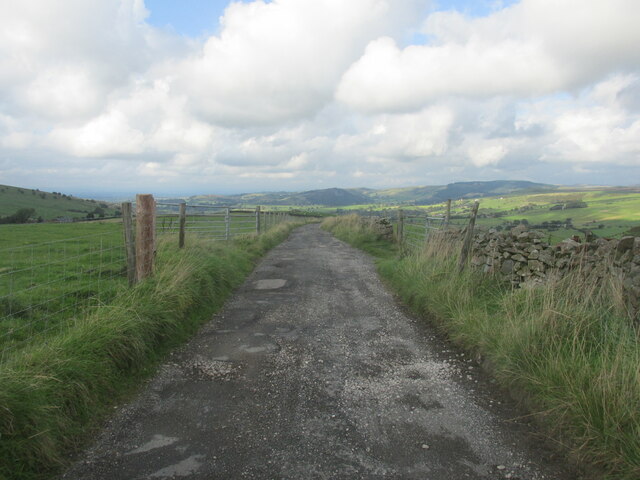
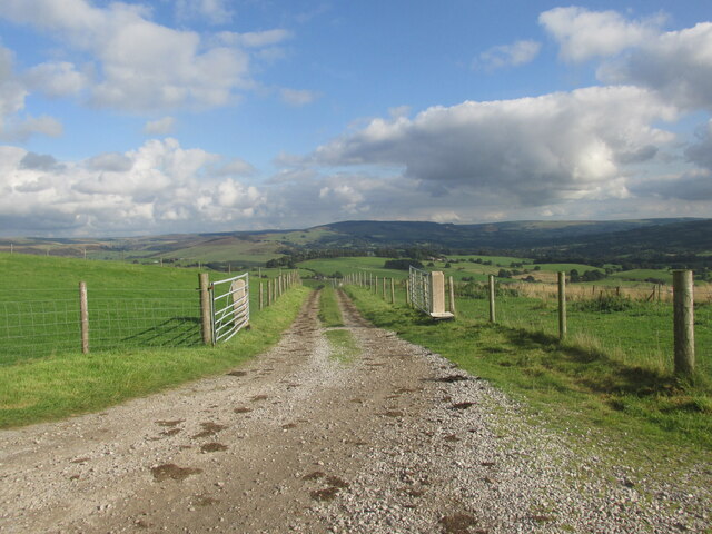
Grange Copse offers numerous walking trails and paths, allowing visitors to explore its natural wonders at their own pace. These paths are well-maintained and suitable for all ages and abilities. The copse is also equipped with benches and picnic areas, providing the perfect spot for visitors to relax and soak in the tranquil surroundings.
Overall, Grange Copse is a charming woodland sanctuary in Cheshire, offering a delightful escape from the hustle and bustle of everyday life. Its natural beauty, diverse ecosystem, and peaceful ambiance make it a must-visit destination for nature lovers and those seeking a tranquil retreat.
If you have any feedback on the listing, please let us know in the comments section below.
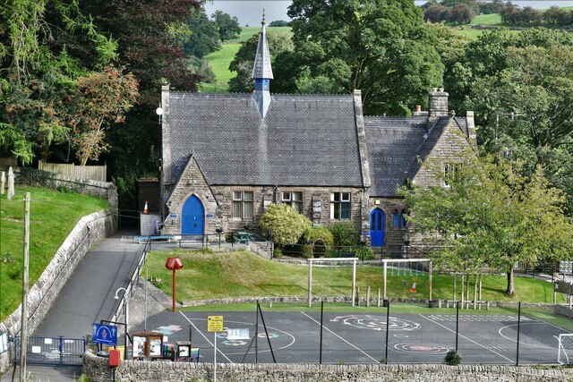
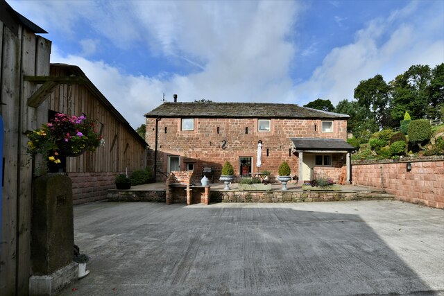
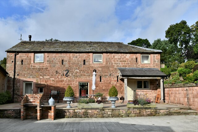
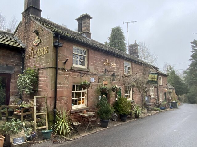
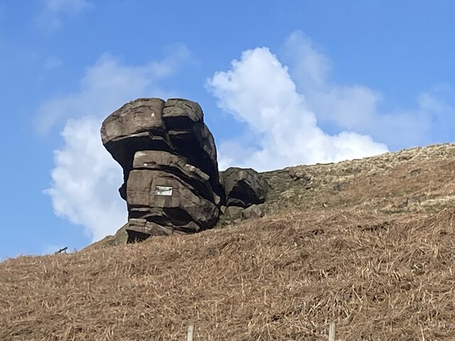
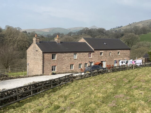
Grange Copse Images
Images are sourced within 2km of 53.188642/-2.0676646 or Grid Reference SJ9565. Thanks to Geograph Open Source API. All images are credited.
Grange Copse is located at Grid Ref: SJ9565 (Lat: 53.188642, Lng: -2.0676646)
Unitary Authority: Cheshire East
Police Authority: Cheshire
What 3 Words
///peach.winter.spoke. Near Macclesfield, Cheshire
Nearby Locations
Related Wikis

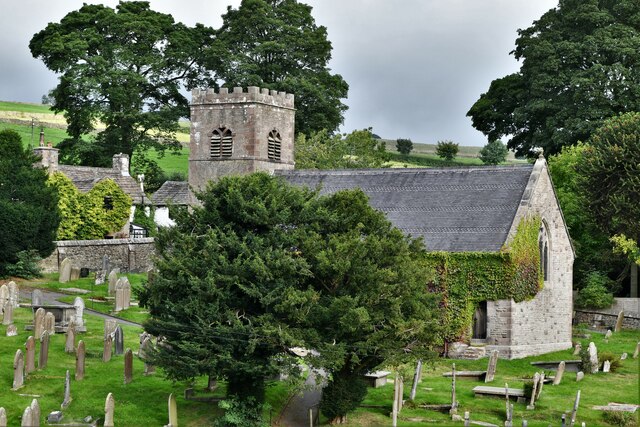
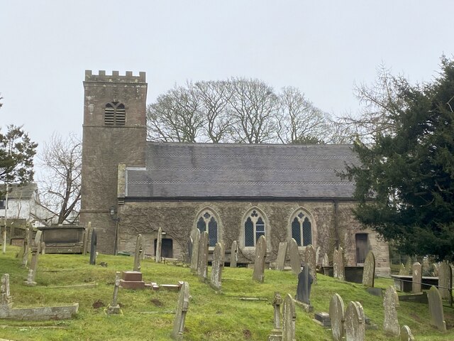
St Michael's Church, Wincle
St Michael's Church is in the village of Wincle, Cheshire, England. It is an active Anglican parish church in the diocese of Chester, the archdeaconry...
Wincle
Wincle is a village and civil parish in the Cheshire East district of Cheshire, England. It holds parish meetings, rather than parish council meetings...

Bosley Minn
Bosley Minn is one of two names – the other being Wincle Minn – given to a prominent hill in southeast Cheshire and in the southwestern corner of the Peak...

Swythamley Hall
Swythamley Hall is a late 18th-century country house near Leek, Staffordshire which has been converted into four separate residences. It is a Grade II...

Allgreave
Allgreave is a village in Cheshire, England. It lies on the A54 (Buxton to Congleton) road, near to the border with Staffordshire. Allgreave Methodist...

Silk 106.9
Cheshire's Silk Radio is an Independent Local Radio serving Macclesfield and parts of East Cheshire, owned and operated by neighbouring station Chester...

Croker Hill
Croker Hill stands just outside the western edge of the Peak District national park, overlooking Congleton in Cheshire. Near the summit stands the Sutton...

Sutton Common BT Tower
Sutton Common BT Tower is a 72-metre (238-foot) radio tower built of reinforced concrete at Macclesfield, Cheshire, England. Sutton Common was originally...
Nearby Amenities
Located within 500m of 53.188642,-2.0676646Have you been to Grange Copse?
Leave your review of Grange Copse below (or comments, questions and feedback).