Little Barnfield Wood
Wood, Forest in Cheshire
England
Little Barnfield Wood
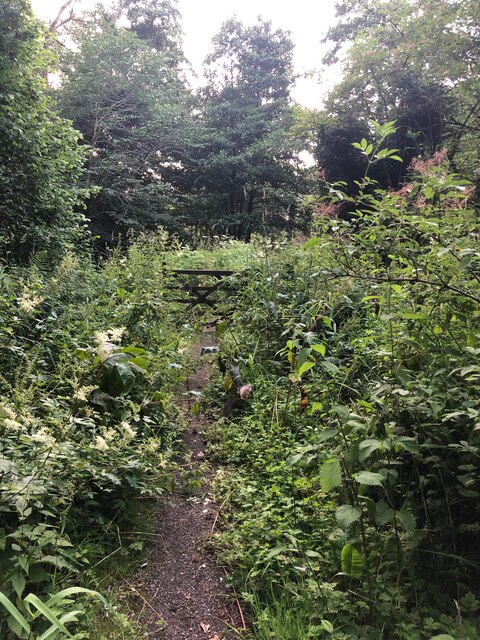
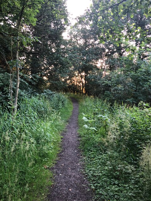
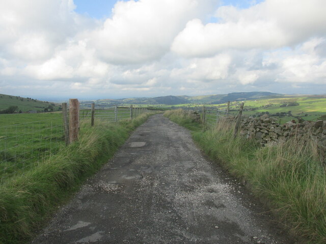
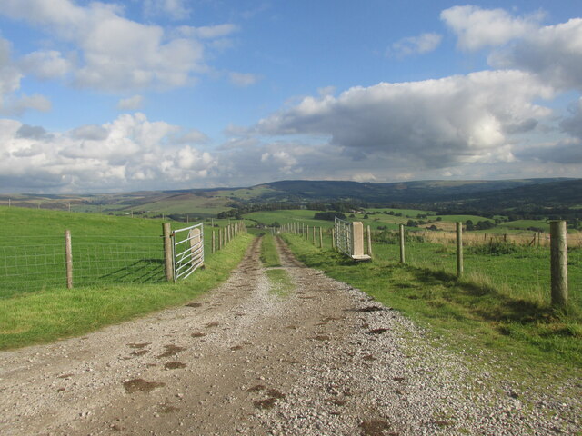
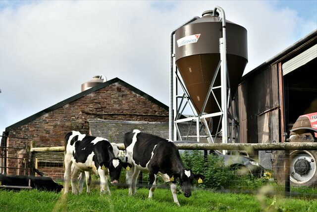
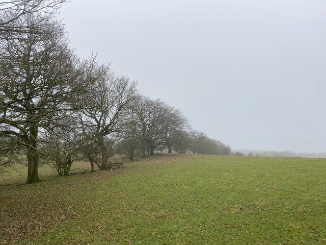
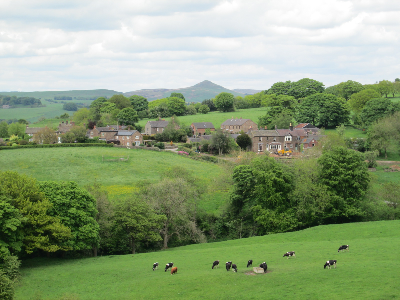
Little Barnfield Wood is a picturesque woodland located in Cheshire, England. Covering an area of approximately 10 acres, it is nestled in the heart of the rural countryside and offers a serene and tranquil escape from the hustle and bustle of city life. The wood is primarily composed of broadleaf trees including oak, beech, and ash, which create a dense canopy that provides shade and shelter for a variety of wildlife.
The wood is home to a diverse range of flora and fauna, making it a haven for nature enthusiasts and wildlife lovers. Visitors can expect to encounter a plethora of bird species, including woodpeckers, song thrushes, and owls. The woodland floor is adorned with a vibrant carpet of wildflowers during the spring and summer months, attracting butterflies and bees.
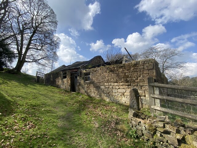
Little Barnfield Wood is also a popular spot for recreational activities such as walking and picnicking. A network of well-maintained footpaths meander through the wood, allowing visitors to explore its beauty at their own pace. The peaceful atmosphere and breathtaking scenery make it an ideal location for a leisurely stroll or a family outing.
The wood is managed by a local conservation group who actively work to preserve its natural beauty and protect the wildlife that calls it home. They organize regular events and volunteer programs to engage the community and raise awareness about the importance of environmental conservation.
Overall, Little Barnfield Wood is a hidden gem in Cheshire, offering an enchanting experience for nature enthusiasts and a peaceful retreat for those seeking solace in the beauty of the natural world.
If you have any feedback on the listing, please let us know in the comments section below.
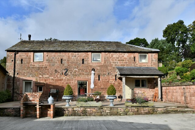
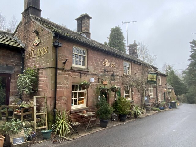
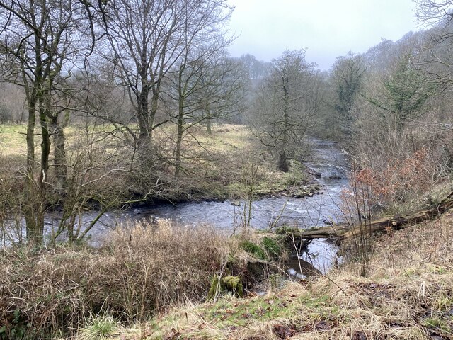
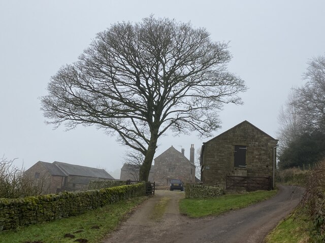
Little Barnfield Wood Images
Images are sourced within 2km of 53.182941/-2.0696159 or Grid Reference SJ9565. Thanks to Geograph Open Source API. All images are credited.
Little Barnfield Wood is located at Grid Ref: SJ9565 (Lat: 53.182941, Lng: -2.0696159)
Unitary Authority: Cheshire East
Police Authority: Cheshire
What 3 Words
///stance.thus.alas. Near Eaton, Cheshire
Nearby Locations
Related Wikis

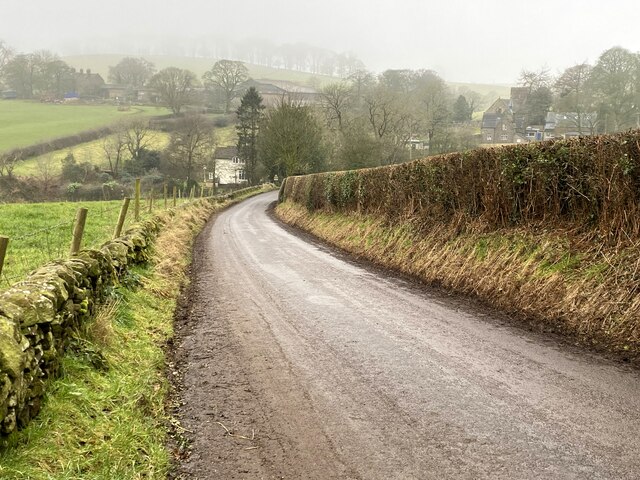
Wincle
Wincle is a village and civil parish in the Cheshire East district of Cheshire, England. It holds parish meetings, rather than parish council meetings...
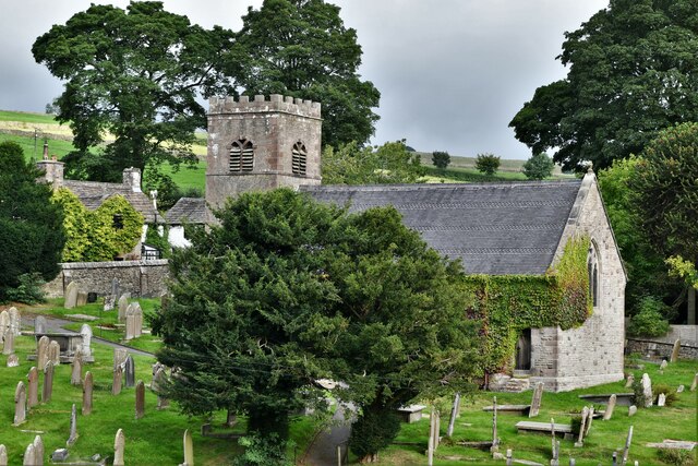
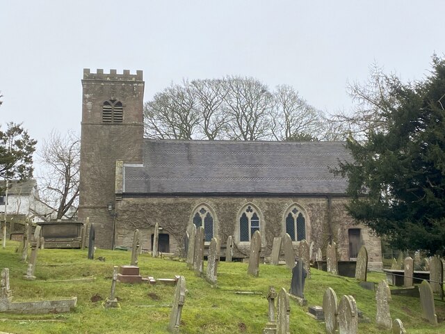
St Michael's Church, Wincle
St Michael's Church is in the village of Wincle, Cheshire, England. It is an active Anglican parish church in the diocese of Chester, the archdeaconry...

Swythamley Hall
Swythamley Hall is a late 18th-century country house near Leek, Staffordshire which has been converted into four separate residences. It is a Grade II...

Bosley Minn
Bosley Minn is one of two names – the other being Wincle Minn – given to a prominent hill in southeast Cheshire and in the southwestern corner of the Peak...
Heaton, Staffordshire
Heaton is a small village and civil parish in Staffordshire, England. It is about 4 miles (6.4 km) north of Leek and about 7 miles (11 km) south of Macclesfield...

Allgreave
Allgreave is a village in Cheshire, England. It lies on the A54 (Buxton to Congleton) road, near to the border with Staffordshire. Allgreave Methodist...

Rushton, Staffordshire
Rushton is a civil parish in Staffordshire, England. The village within the civil parish, usually known as Rushton Spencer, is about 4 miles (6.4 km) north...
Rushton railway station
Rushton Spencer railway station was a railway station that served the village of Rushton Spencer, Staffordshire. The station was opened by the North Staffordshire...
Nearby Amenities
Located within 500m of 53.182941,-2.0696159Have you been to Little Barnfield Wood?
Leave your review of Little Barnfield Wood below (or comments, questions and feedback).