Hall Wood
Wood, Forest in Staffordshire Staffordshire Moorlands
England
Hall Wood
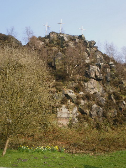
Hall Wood is a small woodland area located in Staffordshire, England. Covering an approximate area of 50 acres, it is known for its natural beauty and diverse ecosystem. The wood is characterized by a mix of deciduous and coniferous trees, including oak, birch, beech, and pine, creating a dense and lush forest.
The woodland is home to a wide variety of flora and fauna, making it a popular destination for nature enthusiasts and wildlife lovers. Visitors can spot a range of bird species, including woodpeckers, owls, and various migratory birds. Mammals such as deer, foxes, and squirrels also inhabit the area.
Hall Wood offers several walking trails, allowing visitors to explore its natural wonders. These paths wind through the forest, providing picturesque views of the vibrant foliage during autumn and a peaceful atmosphere throughout the year. The woodland is well-maintained with clear signage and picnic areas, making it suitable for families and individuals seeking a tranquil escape from the bustling city life.
The wood is managed by the local authorities and conservation organizations to preserve its natural habitat and ensure its sustainable future. Efforts are made to protect the indigenous species and maintain the ecological balance within the woodland.
Hall Wood is not only a place for recreation and relaxation but also serves as an educational resource for schools and colleges in the surrounding areas. Students often visit to learn about the importance of woodland ecosystems and gain hands-on experience in nature conservation.
Overall, Hall Wood in Staffordshire provides a serene environment, abundant wildlife, and educational opportunities, making it an important natural asset for the local community and a must-visit destination for nature enthusiasts.
If you have any feedback on the listing, please let us know in the comments section below.
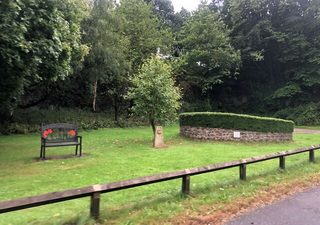
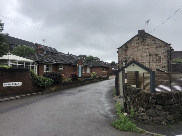
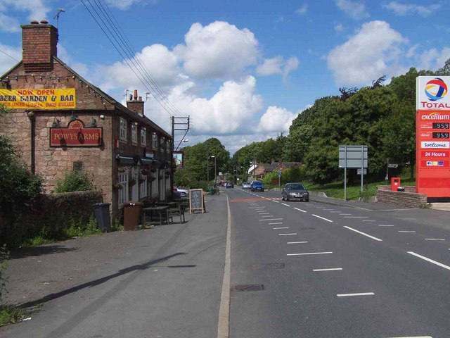
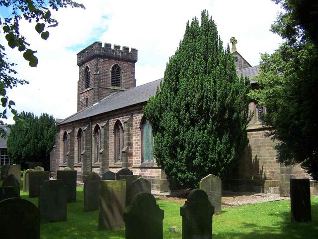
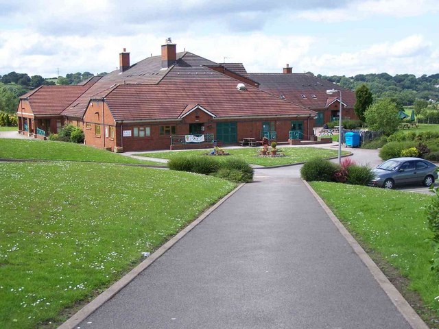
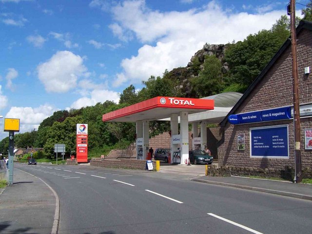
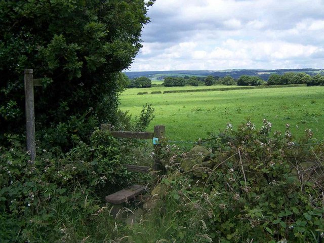
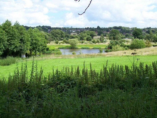
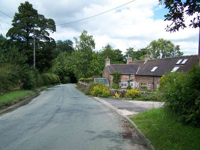
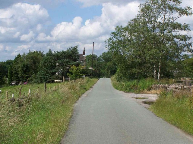
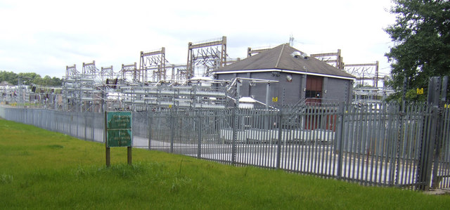
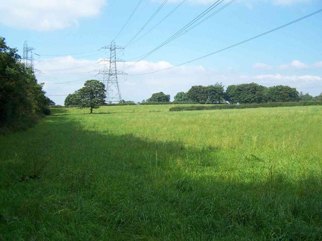
Hall Wood Images
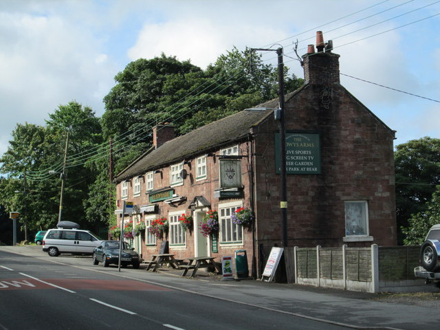
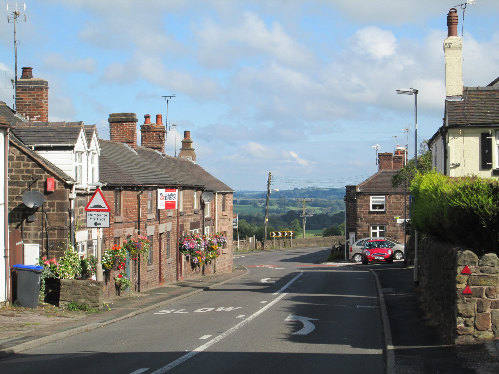
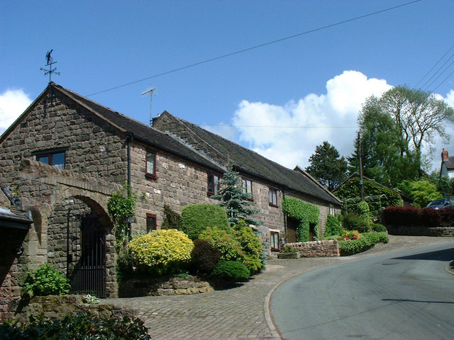
Images are sourced within 2km of 53.052556/-2.0694794 or Grid Reference SJ9550. Thanks to Geograph Open Source API. All images are credited.


Hall Wood is located at Grid Ref: SJ9550 (Lat: 53.052556, Lng: -2.0694794)
Administrative County: Staffordshire
District: Staffordshire Moorlands
Police Authority: Staffordshire
What 3 Words
///sagging.agreeing.vegetable. Near Cheddleton, Staffordshire
Nearby Locations
Related Wikis
Wetley Rocks
Wetley Rocks is a village in Staffordshire, England, about 2 miles (3.2 km) south of Cheddleton and 6 miles (9.7 km) south of Leek. For population details...

Ashcombe Park, Staffordshire
Ashcombe Park is a country house and estate near Cheddleton, in Staffordshire, England. The house is a Grade II* listed building, listed on 2 May 1953...

Cheddleton
Cheddleton is an ancient parish and village in the Staffordshire Moorlands, near to the town of Leek, England. == History == The village is divided into...

Bagnall, Staffordshire
Bagnall is a village and civil parish in Staffordshire, England, north-east of Stoke-on-Trent. Although Bagnall is located only a few short miles from...

Cheddleton Flint Mill
Cheddleton Flint Mill is a water mill situated in the village of Cheddleton in the English county of Staffordshire. The mill race takes water from the...

Deep Hayes Country Park
Deep Hayes Country Park is a country park in Staffordshire, England. It is about 3 miles (4.8 km) south-west of Leek, a short distance south of the A53...

Moorside High School, Werrington
Moorside High School is a coeducational secondary school located in Werrington, Staffordshire. == History == The school was opened in 1939 under the name...
Stanley, Staffordshire
Stanley is a small village in the Staffordshire Moorlands district of Staffordshire, England, about 4 miles (6.4 km) southwest of Leek. The village of...
Nearby Amenities
Located within 500m of 53.052556,-2.0694794Have you been to Hall Wood?
Leave your review of Hall Wood below (or comments, questions and feedback).