Building Plantation

Wood, Forest in Northumberland

England

Building Plantation

Forest track branches off byway, Slaley Forest The forest track to the left is guarded by a closed barrier to deter those who use the byway from straying where they are not permitted. Whilst signage implies a significant overuse of the byways by motor traffic, some of them shown on the map seem to have been erased entirely on the ground. The ones that still exist seem sufficiently straight that there can be little scope for noisy rally driving, but no doubt provide sport for mindless boy racers who think it fun to go very fast in a straight line. Signs advise calling Northumbria Police if you see bad behaviour taking place, but don't bother to mention where one might find a phone box to do so.
Forest track branches off byway, Slaley Forest Credit: Andy Waddington

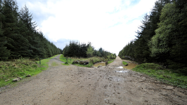
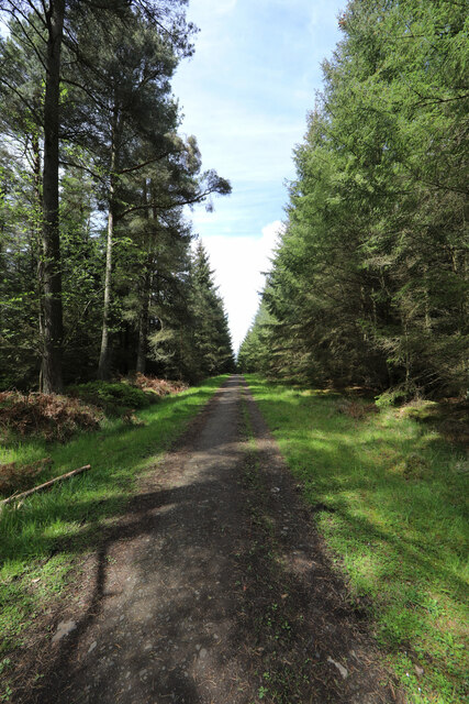
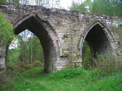
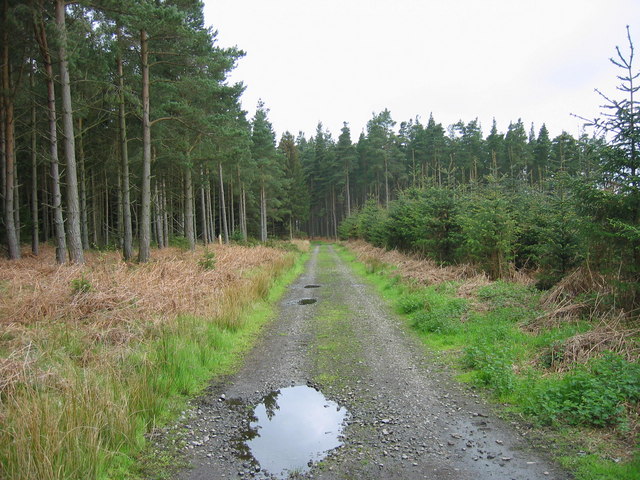
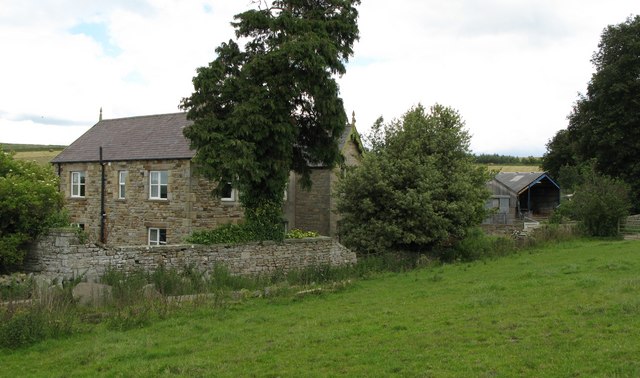
Building Plantation is a woodland area located in the county of Northumberland, England. It is situated near the village of Wood and is part of the larger Forest of Northumberland.

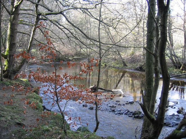
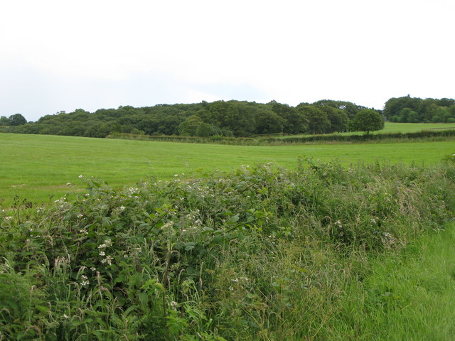
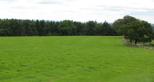
Covering an area of approximately 500 acres, Building Plantation is characterized by its dense and diverse tree population. The woodland is home to a variety of tree species including oak, birch, beech, and pine. These trees create a vibrant and colorful landscape, especially during the autumn season when the leaves change their hues to vibrant reds, oranges, and yellows.

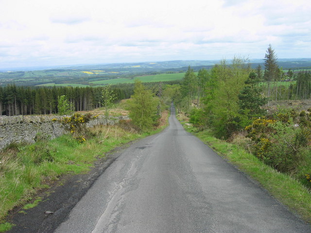
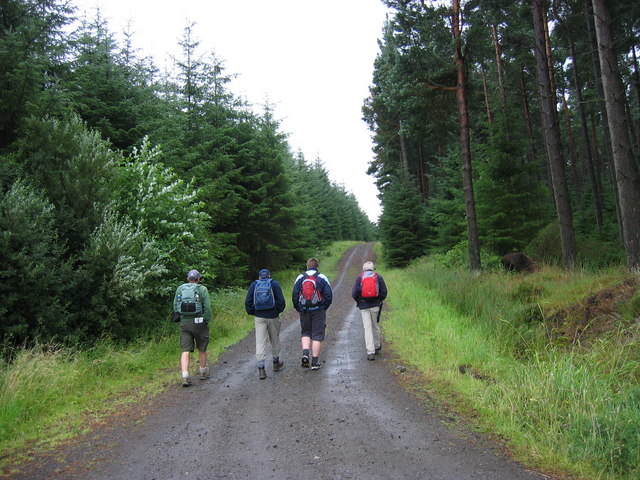
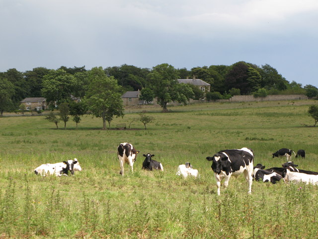
The plantation is a popular destination for nature enthusiasts and outdoor enthusiasts alike. It offers a range of recreational activities including hiking, bird watching, and wildlife observation. The well-maintained trails within the woodland provide visitors with the opportunity to explore the area and enjoy its natural beauty.

The woodland is also an important habitat for various species of wildlife. It provides shelter and food sources for a range of animals including deer, squirrels, rabbits, and a diverse array of bird species. Birdwatchers often visit the plantation to spot species such as woodpeckers, owls, and various migratory birds.

Due to its location within the Forest of Northumberland, Building Plantation is also part of a larger conservation effort to protect and preserve the natural environment. The woodland is carefully managed to ensure the sustainability of its ecosystems and the protection of its flora and fauna.

If you have any feedback on the listing, please let us know in the comments section below.

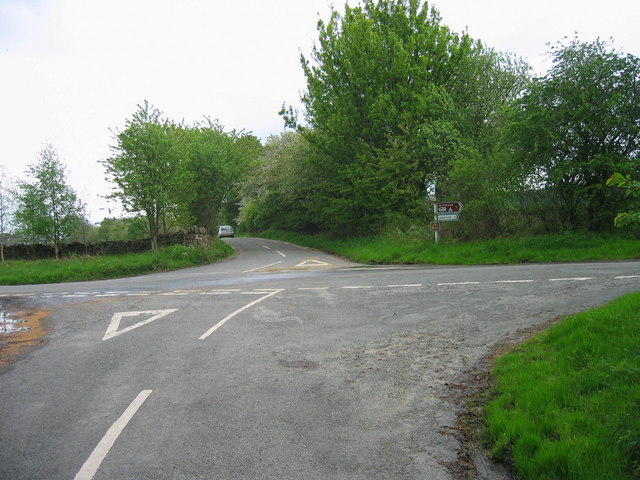
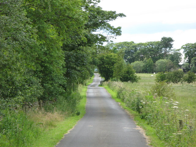
Building Plantation Images

Images are sourced within 2km of 54.907346/-2.0676415 or Grid Reference NY9556. Thanks to Geograph Open Source API. All images are credited.

Forest track branches off byway, Slaley Forest The forest track to the left is guarded by a closed barrier to deter those who use the byway from straying where they are not permitted. Whilst signage implies a significant overuse of the byways by motor traffic, some of them shown on the map seem to have been erased entirely on the ground. The ones that still exist seem sufficiently straight that there can be little scope for noisy rally driving, but no doubt provide sport for mindless boy racers who think it fun to go very fast in a straight line. Signs advise calling Northumbria Police if you see bad behaviour taking place, but don't bother to mention where one might find a phone box to do so.
Forest track branches off byway, Slaley Forest
The forest track to the left is guarded by a closed barrier to deter those who use the byway from straying where they are not permitted. Whilst signage implies a significant overuse of the byways by motor traffic, some of them shown on the map seem to have been erased entirely on the ground. The ones that still exist seem sufficiently straight that there can be little scope for noisy rally driving, but no doubt provide sport for mindless boy racers who think it fun to go very fast in a straight line. Signs advise calling Northumbria Police if you see bad behaviour taking place, but don't bother to mention where one might find a phone box to do so.
Forest track in Slaley Forest A byway is shown on maps running roughly east-west for a kilometre and a half in this area of Slaley Forest, but on the ground, the line it supposedly takes is just densely planted forest. Instead, one is obliged to take a longer route via a number of SW-NE and SE-NW forest tracks such as this one, which are not rights of way of any description (though the bulk of the forest is CROW Access Land).
Forest track in Slaley Forest
A byway is shown on maps running roughly east-west for a kilometre and a half in this area of Slaley Forest, but on the ground, the line it supposedly takes is just densely planted forest. Instead, one is obliged to take a longer route via a number of SW-NE and SE-NW forest tracks such as this one, which are not rights of way of any description (though the bulk of the forest is CROW Access Land).
Slaley, St Mary's church The present church of St Mary at Slaley was rebuilt in 1832, although there was a church mentioned here as early as 1239.
Slaley, St Mary's church
The present church of St Mary at Slaley was rebuilt in 1832, although there was a church mentioned here as early as 1239.
Slaley, St. Mary's church entrance
Dukesfield Smelt Mill, Hexhamshire An old smelt mill stood to the southwest of Dukesfield Mill bridge. It was built in the late 18th century. The ore came from the lead mines owned by Beaumont family in Allendale. The site was demolished in 1836, and now there is nothing to be seen here apart from the gothic arches of the flue.
Dukesfield Smelt Mill, Hexhamshire
An old smelt mill stood to the southwest of Dukesfield Mill bridge. It was built in the late 18th century. The ore came from the lead mines owned by Beaumont family in Allendale. The site was demolished in 1836, and now there is nothing to be seen here apart from the gothic arches of the flue.
The Devil's Water Picture taken just upstream from the ford and footbridge near Peth Foot
The Devil's Water
Picture taken just upstream from the ford and footbridge near Peth Foot
Crossroads near Slaley
Road through Slaley Forest This road is a cul-de-sac and leads to a caravan site and quarry.
Road through Slaley Forest
This road is a cul-de-sac and leads to a caravan site and quarry.
Fell Plantation
Fell Plantation
Forest track through Slaley Forest
The Travellers' Rest Inn on the B6306, Hexham to Blanchland & Edmundbyers road, about a mile before Slaley is reached.
The Travellers' Rest
Inn on the B6306, Hexham to Blanchland & Edmundbyers road, about a mile before Slaley is reached.
The view from Spring House towards Rye Hill.
Pastures and woodland near Low House
Pastures below Highclear
Palm Strothers Farm
Palm Strothers Farm
Pasture and woodland near Hillfield Farm
The Rose and Crown Inn, Slaley
The track to Rye Hill
Show me another place!

Building Plantation is located at Grid Ref: NY9556 (Lat: 54.907346, Lng: -2.0676415)

Unitary Authority: Northumberland

Police Authority: Northumbria

What 3 Words

///finalists.reheat.woods. Near Slaley, Northumberland

Related Wikis

Rowley Burn (Northumberland)

Rowley Burn (also known as Rowley Brook and Ham Burn, NY 9358) is a stream in Northumberland, running around three miles south of Hexham before joining...

Slaley, Northumberland

Slaley is a village in Northumberland, England. It is situated to the southeast of Hexham. It is surrounded by the following villages: Ruffside, Whitley...

Hexhamshire Low Quarter

Hexhamshire Low Quarter is a former civil parish, now in the parish of Hexhamshire, in Northumberland, England. It was situated to the south of Hexham...

Juniper, Northumberland

Juniper is a hamlet in the English county of Northumberland. It is about 5 miles (8 km) due south of Hexham in the area known as Hexhamshire. There is...

Hexhamshire

Hexhamshire is a civil parish in Northern England. It was incorporated into Northumberland in 1572. == History == Hexhamshire was originally a single parish...

Colpitts Grange

Colpitts Grange is a hamlet in Northumberland, England. It is about 7 miles (11 km) to the south-east of Hexham. == Governance == Colpitts Grange is in...

Whitley Chapel

Whitley Chapel is a village in Northumberland, England about 4 miles (6 km) south of Hexham, and in the parish of Hexhamshire. == Governance == Whitley...

Slaley Hall

Slaley Hall is a country house golf resort in Northumberland in North East England, built by local developers Seamus O'Carroll and John Rourke which hosted...

Have you been to Building Plantation?

Leave your review of Building Plantation below (or comments, questions and feedback).