Pursefield Wood
Wood, Forest in Cheshire
England
Pursefield Wood
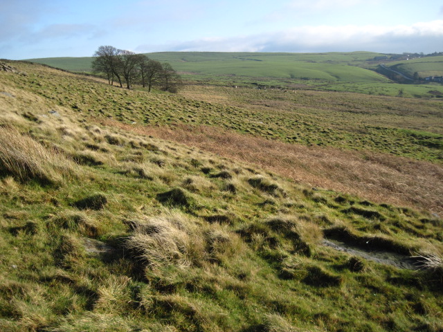
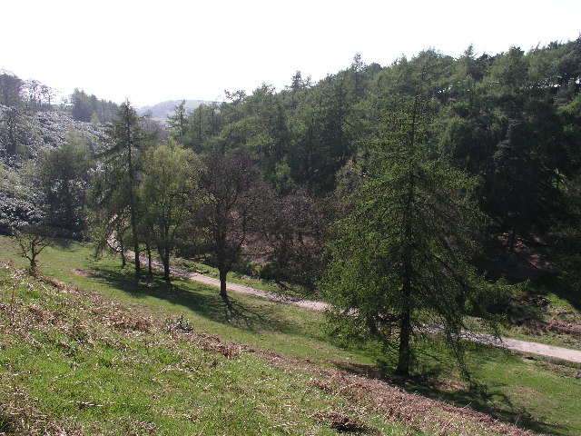
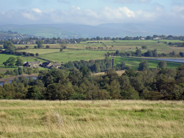
Pursefield Wood is a picturesque woodland located in the county of Cheshire, England. This beautiful forest spans an area of approximately 50 acres and is renowned for its diverse range of flora and fauna. The wood is situated on the outskirts of the village of Pursefield, which adds to its charm and accessibility.
The wood is primarily composed of native broadleaf trees, such as oak, ash, and beech, which create a dense canopy, providing shade and shelter for the smaller plants and animals that call this woodland home. The forest floor is carpeted with a variety of wildflowers, including bluebells, wood anemones, and primroses, creating a vibrant and colorful display during the spring months.
Pursefield Wood is a haven for wildlife enthusiasts, as it supports a wide array of animal species. Birdwatchers can spot a diverse range of avian species, including woodpeckers, owls, and various songbirds. The woodland is also home to mammals such as squirrels, foxes, and even the occasional deer. Additionally, the wood provides a suitable habitat for a variety of insects, including butterflies and dragonflies.
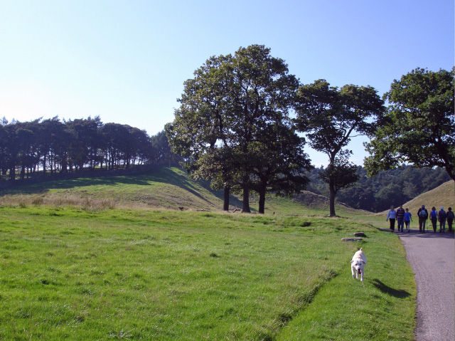
The woodland offers various walking trails and footpaths, allowing visitors to explore its natural beauty at their own pace. These paths wind through the trees, offering glimpses of the surrounding countryside and providing a peaceful and tranquil setting for nature lovers. Additionally, there are designated picnic areas where visitors can relax and enjoy the peaceful ambiance of the wood.
Overall, Pursefield Wood in Cheshire is a stunning forest that offers a rich and diverse natural environment for visitors to explore and enjoy. Its stunning scenery, abundant wildlife, and peaceful atmosphere make it a popular destination for both locals and tourists alike.
If you have any feedback on the listing, please let us know in the comments section below.
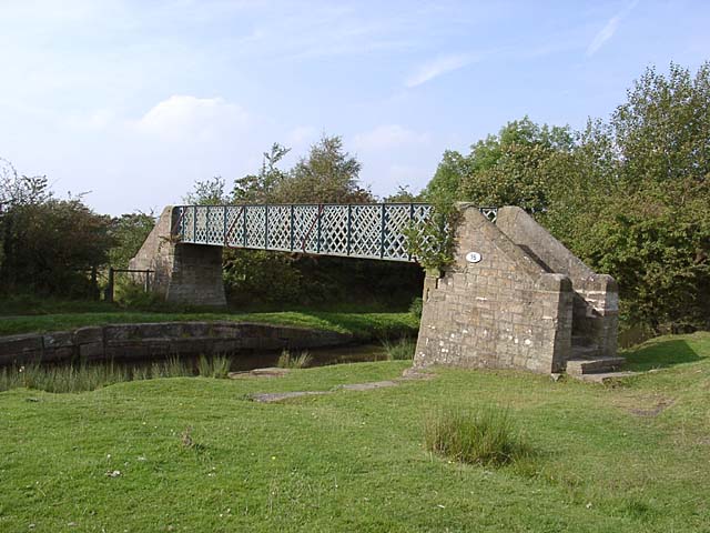
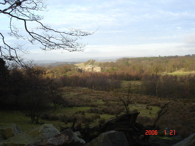
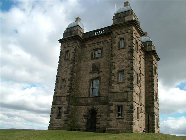
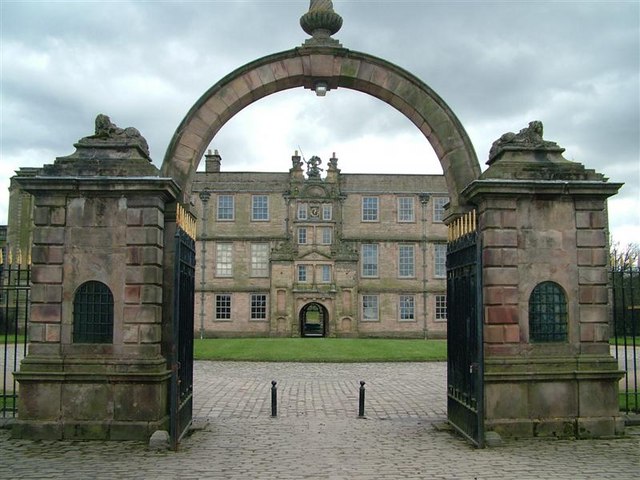
Pursefield Wood Images
Images are sourced within 2km of 53.332095/-2.0650843 or Grid Reference SJ9581. Thanks to Geograph Open Source API. All images are credited.


Pursefield Wood is located at Grid Ref: SJ9581 (Lat: 53.332095, Lng: -2.0650843)
Unitary Authority: Cheshire East
Police Authority: Cheshire
What 3 Words
///chins.belonging.tightest. Near Pott Shrigley, Cheshire
Nearby Locations
Related Wikis

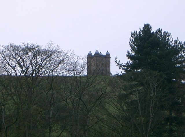
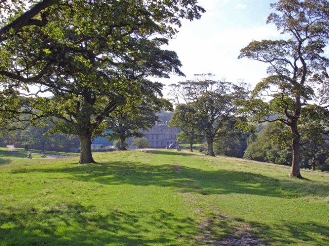
Lyme Park
Lyme Park is a large estate south of Disley, Cheshire, England, managed by the National Trust and consisting of a mansion house surrounded by formal gardens...

Lyme Handley
Lyme Handley, sometimes known as Lyme, is a former civil parish, now in the parish of Kettleshulme and Lyme Handley, in between Disley and Stockport, in...

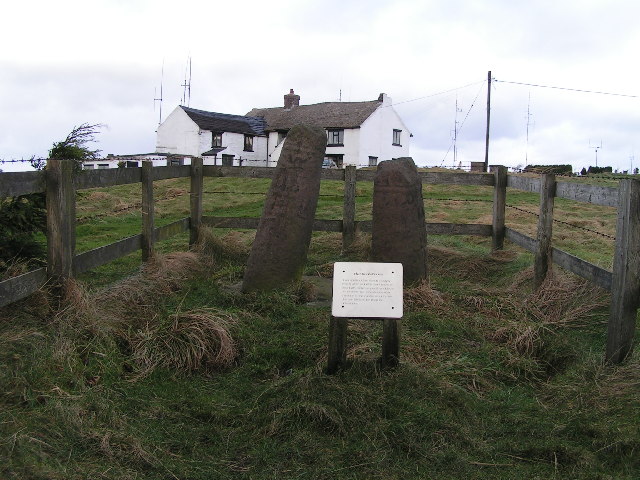
Bowstones
The Bowstones are a pair of Anglian cross shafts in Cheshire, England. Situated beside the old ridgeway between Disley and Macclesfield, overlooking Lyme...

Higher Poynton railway station
Higher Poynton was a railway station serving the eastern side of the town of Poynton in Cheshire, England. It was opened in 1869 by the Macclesfield, Bollington...

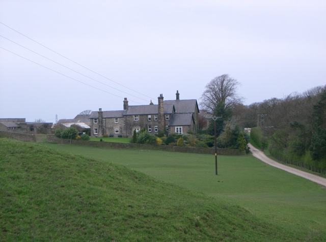
Shrigley Hall
Shrigley Hall is a former country house standing to the northwest of the village of Pott Shrigley, Cheshire, England. It has since been used as a school...

Anson Engine Museum
The Anson Engine Museum is situated on the site of the old Anson colliery in Poynton, Cheshire, England. It is the work of Les Cawley and Geoff Challinor...

Bollinhurst Reservoir
The Bollinhurst Reservoir was constructed in Lyme Park in 1872 for the Stockport District Waterworks Company. At the time of the First World War, it had...

Leonard Haigh
Leonard Haigh (19 October 1880 – 6 August 1916) was an English rugby player. He won seven caps for England between 1910 and 1911, and also represented...
Nearby Amenities
Located within 500m of 53.332095,-2.0650843Have you been to Pursefield Wood?
Leave your review of Pursefield Wood below (or comments, questions and feedback).