Calfhalls Wood

Wood, Forest in Yorkshire Craven

England

Calfhalls Wood

Path & wall descending southeast from Old Cote Moor Top A reasonable path runs along the ridge on the north eastern side of the wall. It is not shown on Ordnance Survey Maps.
Path & wall descending southeast from Old Cote Moor Top Credit: Colin Park

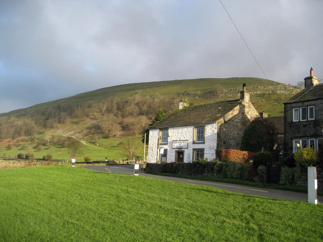
Calfhalls Wood is a picturesque woodland located in the county of Yorkshire, England. Situated near the village of Calfhalls, this woodland covers a vast area of approximately 100 acres, providing a tranquil escape for nature enthusiasts and outdoor lovers alike.

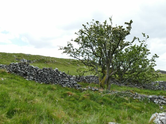
The wood boasts a diverse range of tree species, including oak, beech, and birch, creating a rich and vibrant tapestry of colors throughout the seasons. The dense canopy of the woodland offers shade and shelter, making it an ideal habitat for a variety of wildlife species, such as squirrels, foxes, and an array of bird species, including woodpeckers and owls.

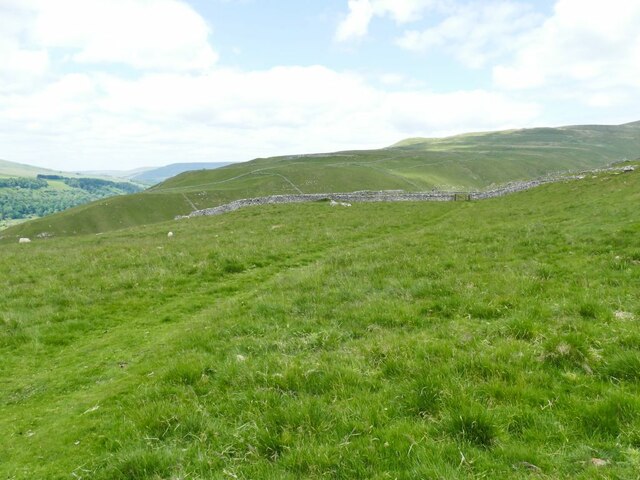
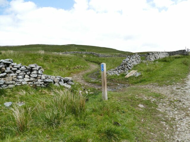
Visitors to Calfhalls Wood can explore a network of well-maintained footpaths and trails, allowing them to immerse themselves in the natural beauty of the surroundings. The wood's proximity to the village also makes it easily accessible, with ample parking facilities available nearby.

Apart from its natural charm, Calfhalls Wood also holds historical significance. It is rumored to have been used as a hiding place for local villagers during the English Civil War. Evidence of this can be seen in the form of earthworks and ditches that are scattered throughout the woodland, adding an intriguing dimension to its allure.

Whether it's a leisurely stroll, birdwatching, or simply enjoying the tranquility of nature, Calfhalls Wood offers something for everyone. With its breathtaking scenery and peaceful ambiance, it is a true gem in the heart of Yorkshire's countryside.

If you have any feedback on the listing, please let us know in the comments section below.

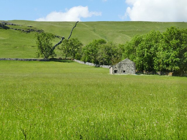
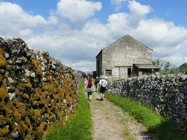
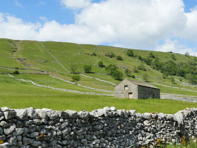
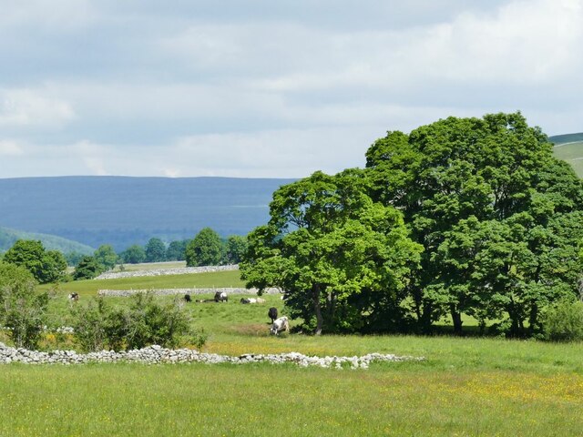
Calfhalls Wood Images

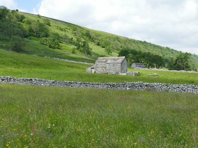
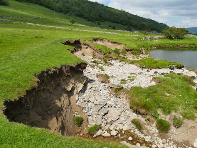
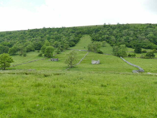
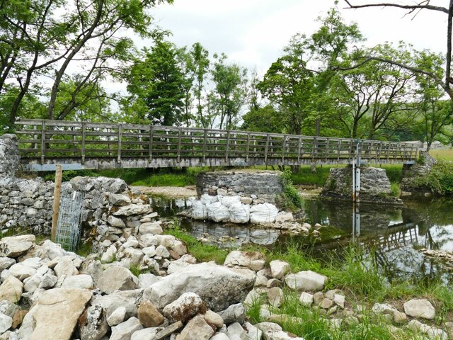
Images are sourced within 2km of 54.166075/-2.0664833 or Grid Reference SD9574. Thanks to Geograph Open Source API. All images are credited.

Path & wall descending southeast from Old Cote Moor Top A reasonable path runs along the ridge on the north eastern side of the wall. It is not shown on Ordnance Survey Maps.
Path & wall descending southeast from Old Cote Moor Top
A reasonable path runs along the ridge on the north eastern side of the wall. It is not shown on Ordnance Survey Maps.
Stone laithe above Kettlewell One of many such structures in Upper Wharfedale, where there is still a network of small fields.  This laithe looks in better condition than most others.
Stone laithe above Kettlewell
One of many such structures in Upper Wharfedale, where there is still a network of small fields. This laithe looks in better condition than most others.
Stone laithe by the Dales Way One of many such structures in Upper Wharfedale, where there is still a network of small fields.  This laithe appears still to be in active use.
Stone laithe by the Dales Way
One of many such structures in Upper Wharfedale, where there is still a network of small fields. This laithe appears still to be in active use.
Haw Fields Laithe  One of many such structures in Upper Wharfedale, where there is still a network of small fields.  This laithe is one of the few to be shown on maps with a name.
Haw Fields Laithe
One of many such structures in Upper Wharfedale, where there is still a network of small fields. This laithe is one of the few to be shown on maps with a name.
Cows by the river Wharfe The cows are on the far side of the river from the photographer, the nearest one being at a point where they come down to the river to drink.
Cows by the river Wharfe
The cows are on the far side of the river from the photographer, the nearest one being at a point where they come down to the river to drink.
Stone laithe below Moor End One of many such structures in Upper Wharfedale, where there is still a network of small fields.
Stone laithe below Moor End
One of many such structures in Upper Wharfedale, where there is still a network of small fields.
Continuing erosion of the riverbank  Roughly the same location as <a href="https://www.geograph.org.uk/photo/4254500">SD9573 : Another landslip on the Wharfe</a> taken seven years earlier, looking in the opposite direction.
Continuing erosion of the riverbank
Roughly the same location as SD9573 : Another landslip on the Wharfe taken seven years earlier, looking in the opposite direction.
Bounty Barns, Starbotton Two of many such structures in Upper Wharfedale, where there is still a network of small fields; the name is given on old maps.
Bounty Barns, Starbotton
Two of many such structures in Upper Wharfedale, where there is still a network of small fields; the name is given on old maps.
Starbotton footbridge The bridge on a bridleway is the only crossing point of the river between Kettlewell and Buckden. One of the pillars had recently been given temporary protection following flood damage the previous winter (see <a href="https://www.geograph.org.uk/photo/3193993">SD9574 : The Dales Way</a> for a 'before' view).  See also <a href="https://www.geograph.org.uk/photo/249353">SD9574 : Bridge over the Wharfe, Starbotton</a>.
Starbotton footbridge
The bridge on a bridleway is the only crossing point of the river between Kettlewell and Buckden. One of the pillars had recently been given temporary protection following flood damage the previous winter (see SD9574 : The Dales Way for a 'before' view). See also SD9574 : Bridge over the Wharfe, Starbotton.
Lilac Cottage, Starbotton  One of the oldest properties in the village, dated 1656. Listed grade II (list entry 1295854).
Lilac Cottage, Starbotton
One of the oldest properties in the village, dated 1656. Listed grade II (list entry 1295854).
Starbotton waterworks (1) The installation alongside Starbotton Cam Road is shown on one online map as a 'sewage pumping station' which given its location high above the village seems most unlikely. Rather, it's a reservoir and treatment works for the village water supply.
Starbotton waterworks (1)
The installation alongside Starbotton Cam Road is shown on one online map as a 'sewage pumping station' which given its location high above the village seems most unlikely. Rather, it's a reservoir and treatment works for the village water supply.
Starbotton waterworks (2) The installation alongside Starbotton Cam Road is shown on one online map as a 'sewage pumping station' which given its location high above the village seems most unlikely. Rather, it's a reservoir and treatment works for the village water supply.
Starbotton waterworks (2)
The installation alongside Starbotton Cam Road is shown on one online map as a 'sewage pumping station' which given its location high above the village seems most unlikely. Rather, it's a reservoir and treatment works for the village water supply.
Modern barn by Starbotton Cam Road Maps show a sheepfold here, but the wooden-clad barn looks quite a recent addition.
Modern barn by Starbotton Cam Road
Maps show a sheepfold here, but the wooden-clad barn looks quite a recent addition.
Hawthorn alongside Starbotton Cam Road A solitary tree by this steep stone track high on the hillside.
Hawthorn alongside Starbotton Cam Road
A solitary tree by this steep stone track high on the hillside.
Grass track across Starbotton Cam Pasture A track not shown on online maps, probably made by quad bikes.
Grass track across Starbotton Cam Pasture
A track not shown on online maps, probably made by quad bikes.
Bridleway junction at Sandy Gate Left for Buckden Pike, straight on for Nidderdale or down to Kettlewell.
Bridleway junction at Sandy Gate
Left for Buckden Pike, straight on for Nidderdale or down to Kettlewell.
Lambs at Cam Head
Lambs at Cam Head
Top Mere Road The 'road' is unsurfaced, only accessible by 'off-road' vehicles, and only classed as a public bridleway. It gives a great view down Wharfedale.
Top Mere Road
The 'road' is unsurfaced, only accessible by 'off-road' vehicles, and only classed as a public bridleway. It gives a great view down Wharfedale.
Show me another place!

Calfhalls Wood is located at Grid Ref: SD9574 (Lat: 54.166075, Lng: -2.0664833)

Division: West Riding

Administrative County: North Yorkshire

District: Craven

Police Authority: North Yorkshire

What 3 Words

///chambers.tucked.cleansed. Near Grassington, North Yorkshire

Related Wikis

Nearby Amenities

Located within 500m of 54.166075,-2.0664833
Historic: mine_shaft
Source: OS 1:25k;Bing
Lat/Long: 54.1648603/-2.0594404
Historic: mine_shaft
Source: OS 1:25k
Lat/Long: 54.1658979/-2.060819
Historic: mine_shaft
Source: OS 1:25k
Lat/Long: 54.1664632/-2.0618919
Historic: mine_shaft
Source: OS 1:25k
Lat/Long: 54.1658979/-2.062364
Historic: mine_shaft
Source: OS 1:25k
Lat/Long: 54.1670285/-2.0639519
Historic: mine_shaft
Source: OS 1:25k;Bing
Lat/Long: 54.1671917/-2.064609
Historic: mine_shaft
Source: OS 1:25k
Lat/Long: 54.1682218/-2.0601324
Historic: mine_shaft
Source: OS 1:25k
Lat/Long: 54.1682218/-2.0606688
Historic: mine_shaft
Source: OS 1:25k
Lat/Long: 54.1680837/-2.0627288
Historic: mine_shaft
Source: Bing
Lat/Long: 54.1668876/-2.063708
Historic: mine_shaft
Source: Bing
Lat/Long: 54.1662045/-2.0607549
Historic: mine_shaft
Source: Bing
Lat/Long: 54.1672284/-2.0625037
Historic: mine_shaft
Source: Bing
Lat/Long: 54.1656644/-2.0624339
Historic: mine_shaft
Source: Bing
Lat/Long: 54.1660743/-2.0628416
Historic: mine_shaft
Source: Bing
Lat/Long: 54.1671137/-2.0624688
Historic: mine_shaft
Source: Bing
Lat/Long: 54.1656094/-2.0623776
Historic: mine_shaft
Mineral: lead
Source: OS 6", Yorkshire 98, 1852
Lat/Long: 54.1682002/-2.0644996
Historic: mine_shaft
Source: EsriWorldImageryClarity
Lat/Long: 54.1651554/-2.0602026
Historic: mine_shaft
Source: EsriWorldImageryClarity
Lat/Long: 54.1652185/-2.0595159
Historic: mine_shaft
Source: EsriWorldImageryClarity
Lat/Long: 54.166487/-2.0631959
Historic: mine_shaft
Source: EsriWorldImageryClarity
Lat/Long: 54.1651243/-2.0600202
Historic: mine_shaft
Source: EsriWorldImageryClarity
Lat/Long: 54.1657458/-2.0608892
Bench
Lat/Long: 54.1682874/-2.0722929
Power: pole
Lat/Long: 54.1687968/-2.0705044
Power: pole
Lat/Long: 54.1680431/-2.0698124
Power: pole
Lat/Long: 54.1673051/-2.0691338
Power: pole
Lat/Long: 54.1659343/-2.0678437
Power: pole
Lat/Long: 54.165237/-2.0672563
Power: pole
Lat/Long: 54.1644378/-2.0665589
Power: pole
Lat/Long: 54.1636243/-2.0658588
Power: pole
Lat/Long: 54.1629844/-2.0652741
The data included in this document is from www.openstreetmap.org. The data is made available under ODbL.

Have you been to Calfhalls Wood?

Leave your review of Calfhalls Wood below (or comments, questions and feedback).