The Plantation
Wood, Forest in Staffordshire Staffordshire Moorlands
England
The Plantation
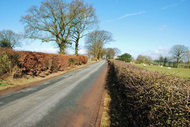
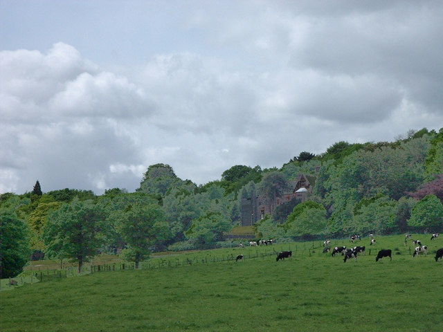
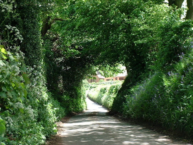
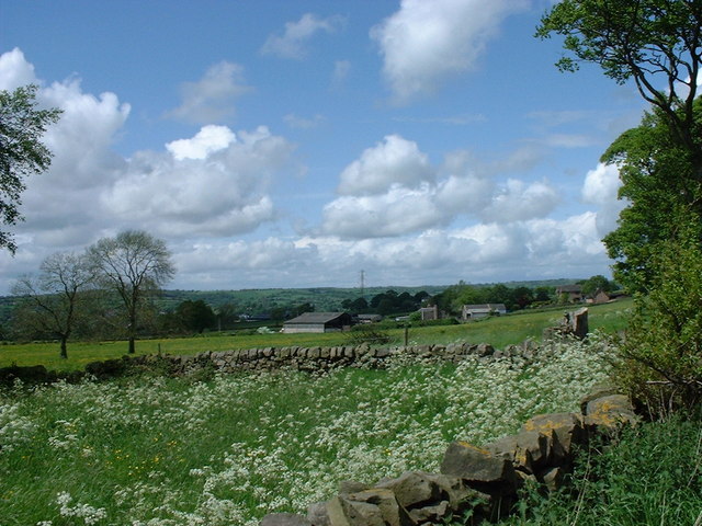
The Plantation in Staffordshire, also known as Staffordshire Wood or Staffordshire Forest, is a vast and picturesque area located in the heart of Staffordshire, England. Covering an area of approximately 500 hectares, this beautiful woodland is a haven for nature enthusiasts and outdoor adventurers alike.
The Plantation is characterized by its dense and diverse collection of trees, including oak, birch, beech, and pine. These trees form a lush canopy, providing shelter and habitat for a wide range of wildlife species. Visitors can easily spot squirrels, rabbits, and a variety of bird species while walking along the numerous trails that crisscross the woodland.
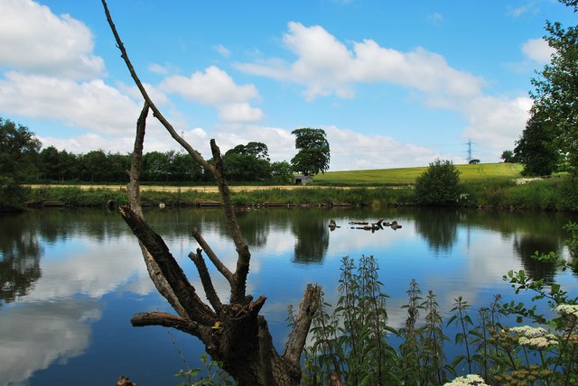
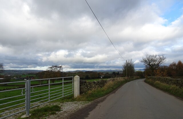
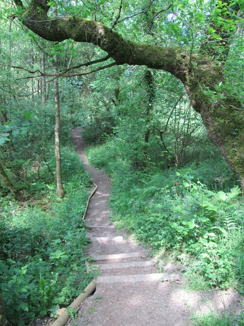
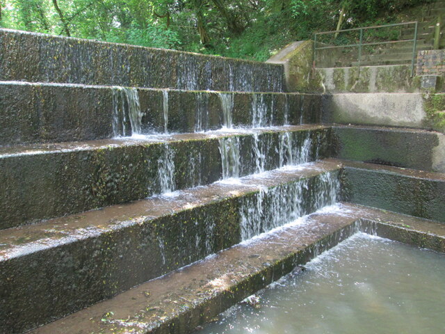
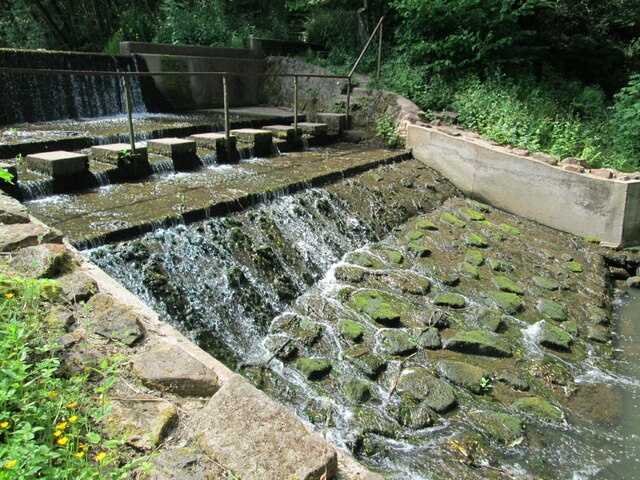
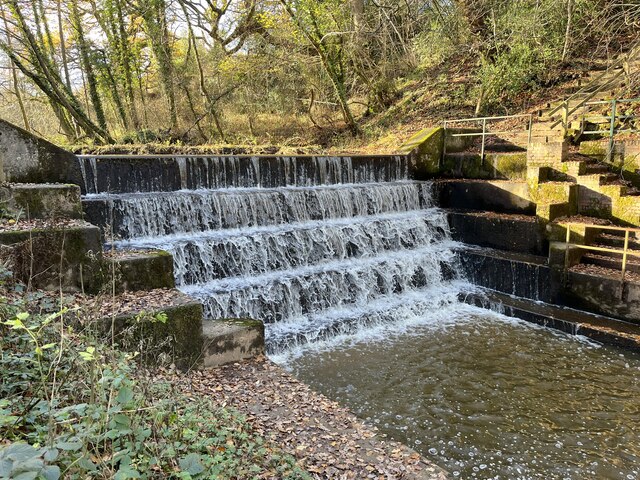
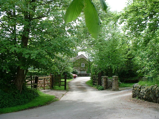
One of the main attractions of The Plantation is its network of well-maintained footpaths, allowing visitors to explore the forest at their own pace. These paths provide access to various points of interest, including a tranquil lake, a small waterfall, and several picnic areas. The Plantation is also home to a number of historic sites, such as ancient burial mounds and remnants of old mining activities, adding an additional layer of intrigue to the area.
The woodland is open to the public year-round, offering different experiences with each season. In spring, the forest floor is adorned with vibrant bluebells, while autumn brings a stunning display of colors as the leaves turn golden and red. The Plantation is a popular destination for families, nature lovers, and dog walkers, providing a peaceful retreat from the bustling city life.
Overall, The Plantation in Staffordshire is a remarkable natural treasure, inviting visitors to immerse themselves in its tranquility, observe its diverse wildlife, and soak in the beauty of its scenic surroundings.
If you have any feedback on the listing, please let us know in the comments section below.
The Plantation Images
Images are sourced within 2km of 53.058927/-2.0740405 or Grid Reference SJ9551. Thanks to Geograph Open Source API. All images are credited.
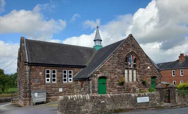
![Cheddleton, old school There is a benchmark cut into the south-east face of the old school [now a tearoom]. It is to the left of the building.](https://s3.geograph.org.uk/geophotos/07/00/51/7005111_d5b79137.jpg)
The Plantation is located at Grid Ref: SJ9551 (Lat: 53.058927, Lng: -2.0740405)
Administrative County: Staffordshire
District: Staffordshire Moorlands
Police Authority: Staffordshire
What 3 Words
///pixel.flicks.targeted. Near Cheddleton, Staffordshire
Nearby Locations
Related Wikis

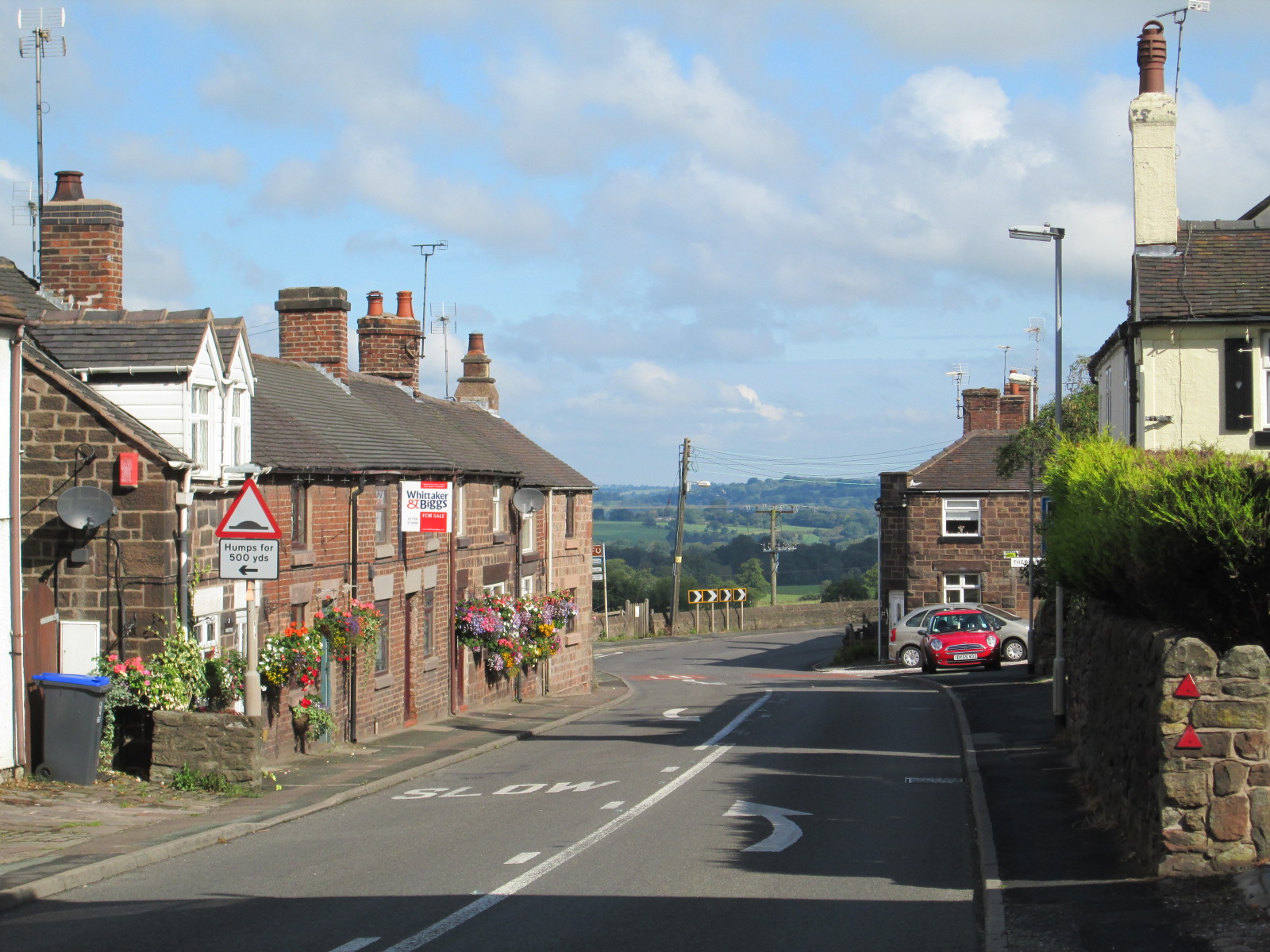
Bagnall, Staffordshire
Bagnall is a village and civil parish in Staffordshire, England, north-east of Stoke-on-Trent. Although Bagnall is located only a few short miles from...

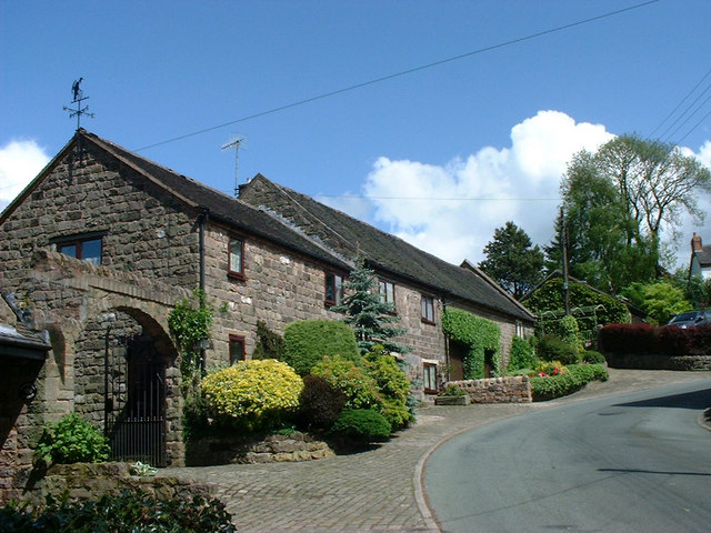
Cheddleton
Cheddleton is an ancient parish and village in the Staffordshire Moorlands, near to the town of Leek, England. == History == The village is divided into...

Deep Hayes Country Park
Deep Hayes Country Park is a country park in Staffordshire, England. It is about 3 miles (4.8 km) south-west of Leek, a short distance south of the A53...
Stanley, Staffordshire
Stanley is a small village in the Staffordshire Moorlands district of Staffordshire, England, about 4 miles (6.4 km) southwest of Leek. The village of...

Ashcombe Park, Staffordshire
Ashcombe Park is a country house and estate near Cheddleton, in Staffordshire, England. The house is a Grade II* listed building, listed on 2 May 1953...

Cheddleton Flint Mill
Cheddleton Flint Mill is a water mill situated in the village of Cheddleton in the English county of Staffordshire. The mill race takes water from the...
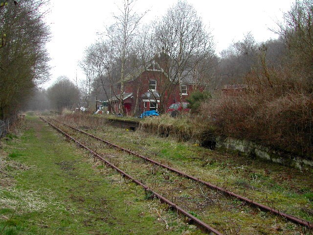
Wall Grange railway station
Wall Grange railway station is a disused railway station in Staffordshire, England. == History == The Stoke–Leek line was opened by the North Staffordshire...
Wetley Rocks
Wetley Rocks is a village in Staffordshire, England, about 2 miles (3.2 km) south of Cheddleton and 6 miles (9.7 km) south of Leek. For population details...
Nearby Amenities
Located within 500m of 53.058927,-2.0740405Have you been to The Plantation?
Leave your review of The Plantation below (or comments, questions and feedback).