The Dingle
Valley in Staffordshire Staffordshire Moorlands
England
The Dingle
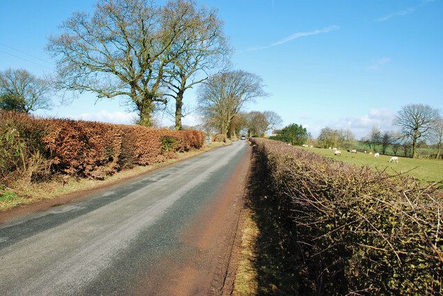
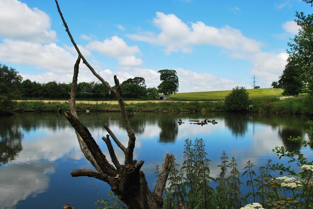
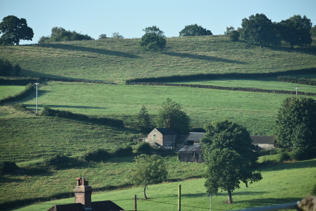
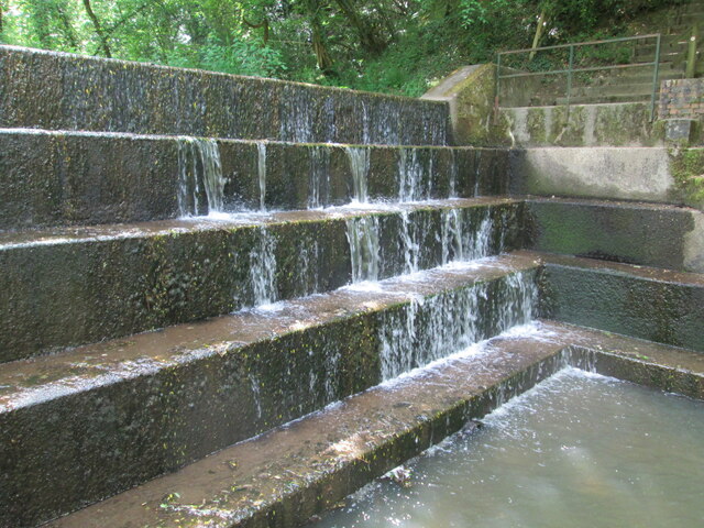
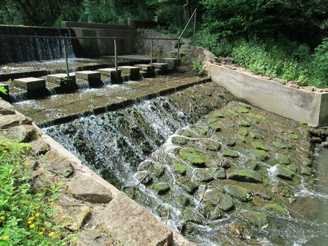
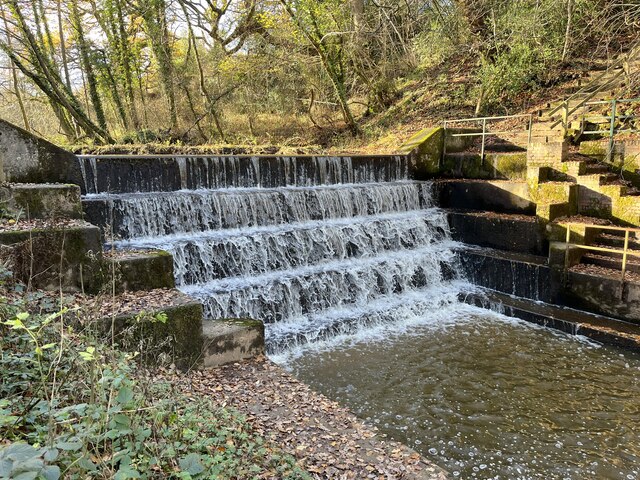
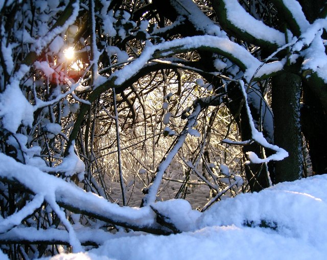
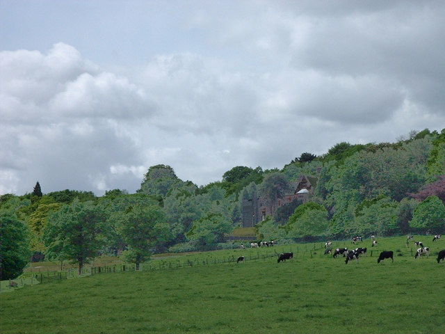
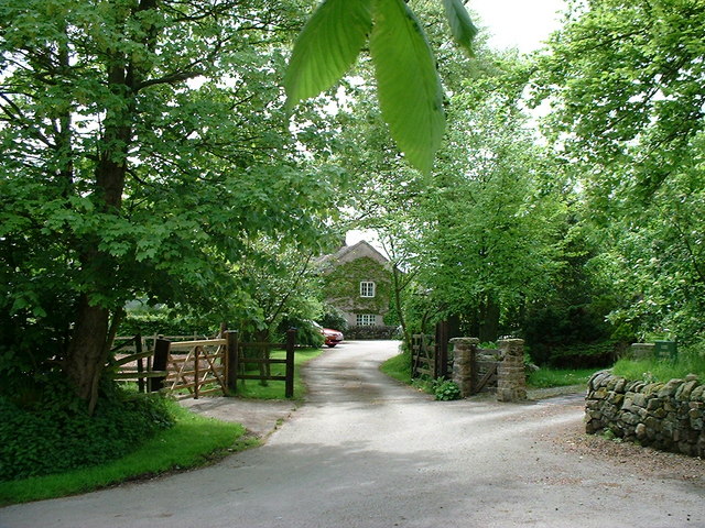
The Dingle is a picturesque valley located in Staffordshire, England. It is situated in the Cannock Chase District and is renowned for its natural beauty and tranquil surroundings. The valley stretches over an area of approximately 1.5 square miles and is characterized by rolling hills, meandering streams, and lush greenery.
The Dingle is a popular destination for nature enthusiasts and outdoor adventurers. It offers a range of activities such as hiking, cycling, and birdwatching. The valley is home to a diverse range of flora and fauna, including rare species of plants and animals. The abundance of wildlife adds to the charm of this idyllic location.
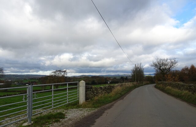
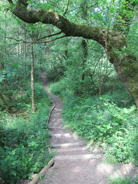
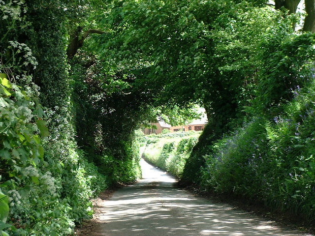
Visitors to The Dingle can explore a network of well-maintained trails that wind through the valley, offering breathtaking views of the surrounding countryside. The valley is also home to several historic landmarks, including ancient burial mounds and remnants of Iron Age settlements, which provide a glimpse into its rich cultural heritage.
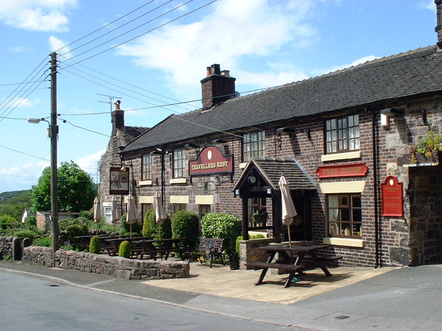
The Dingle is well-equipped with amenities for visitors, including car parks, picnic areas, and public toilets. Additionally, there are several quaint villages nearby, offering a variety of accommodation options and dining establishments.
Whether it's a leisurely stroll, an adventurous hike, or a peaceful picnic, The Dingle has something to offer everyone. Its natural beauty and serene atmosphere make it a perfect destination for those seeking an escape from the hustle and bustle of city life.
If you have any feedback on the listing, please let us know in the comments section below.
The Dingle Images
Images are sourced within 2km of 53.060257/-2.0741174 or Grid Reference SJ9551. Thanks to Geograph Open Source API. All images are credited.
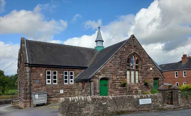
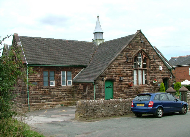
![Cheddleton, old school There is a benchmark cut into the south-east face of the old school [now a tearoom]. It is to the left of the building.](https://s3.geograph.org.uk/geophotos/07/00/51/7005111_d5b79137.jpg)
The Dingle is located at Grid Ref: SJ9551 (Lat: 53.060257, Lng: -2.0741174)
Administrative County: Staffordshire
District: Staffordshire Moorlands
Police Authority: Staffordshire
What 3 Words
///loafing.pets.pity. Near Cheddleton, Staffordshire
Nearby Locations
Related Wikis

Deep Hayes Country Park
Deep Hayes Country Park is a country park in Staffordshire, England. It is about 3 miles (4.8 km) south-west of Leek, a short distance south of the A53...

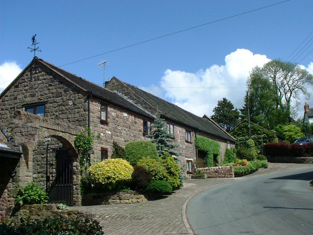
Cheddleton
Cheddleton is an ancient parish and village in the Staffordshire Moorlands, near to the town of Leek, England. == History == The village is divided into...

Bagnall, Staffordshire
Bagnall is a village and civil parish in Staffordshire, England, north-east of Stoke-on-Trent. Although Bagnall is located only a few short miles from...
Stanley, Staffordshire
Stanley is a small village in the Staffordshire Moorlands district of Staffordshire, England, about 4 miles (6.4 km) southwest of Leek. The village of...

Ashcombe Park, Staffordshire
Ashcombe Park is a country house and estate near Cheddleton, in Staffordshire, England. The house is a Grade II* listed building, listed on 2 May 1953...

Cheddleton Flint Mill
Cheddleton Flint Mill is a water mill situated in the village of Cheddleton in the English county of Staffordshire. The mill race takes water from the...
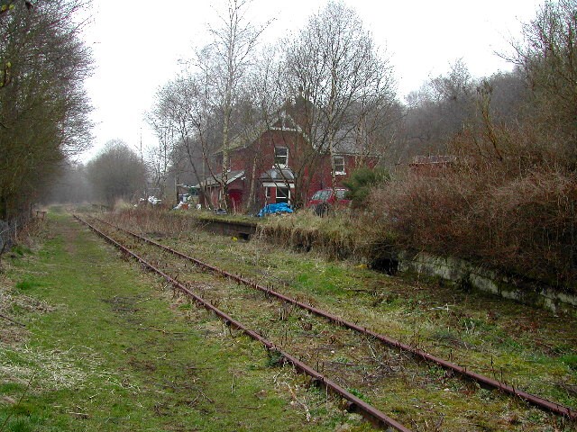
Wall Grange railway station
Wall Grange railway station is a disused railway station in Staffordshire, England. == History == The Stoke–Leek line was opened by the North Staffordshire...

Endon and Stanley
Endon and Stanley is a civil parish in Staffordshire, England, containing the villages Endon and Stanley. The civil parish (replacing a civil parish containing...
Nearby Amenities
Located within 500m of 53.060257,-2.0741174Have you been to The Dingle?
Leave your review of The Dingle below (or comments, questions and feedback).