Birks Clough

Valley in Yorkshire

England

Birks Clough

Sunlight on Todmorden from ridge south of Stoodley Pike Monument
Sunlight on Todmorden from ridge south of Stoodley Pike Monument Credit: Colin Park

Birks Clough, located in Yorkshire, is a picturesque valley known for its natural beauty and rich history. Nestled within the North York Moors National Park, this valley is a popular destination for nature enthusiasts and history buffs alike.

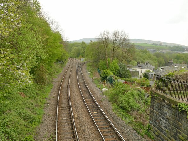
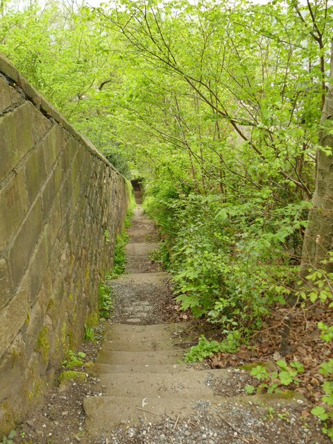
The valley is characterized by its rolling hills, lush greenery, and meandering streams. It is home to a diverse range of flora and fauna, including wildflowers, birds, and small mammals. The valley's landscape is dotted with ancient trees and is particularly breathtaking in the spring when the valley is awash with vibrant colors.

Birks Clough also holds significant historical importance. It is believed to have been inhabited since prehistoric times, with traces of Bronze Age settlements found in the area. The valley was later used as a route by the Romans and has remnants of their presence, including the remains of a Roman road.

In addition to its natural and historical significance, Birks Clough offers various recreational activities. Visitors can explore the valley on foot through its numerous walking trails, offering panoramic views of the surrounding countryside. The valley is also a haven for birdwatchers, with several species of birds making it their habitat.

Overall, Birks Clough is a hidden gem in Yorkshire, providing a serene escape into nature and a glimpse into the region's rich past. Whether one is seeking tranquility or adventure, this valley offers a unique experience for all who visit.

If you have any feedback on the listing, please let us know in the comments section below.
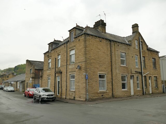
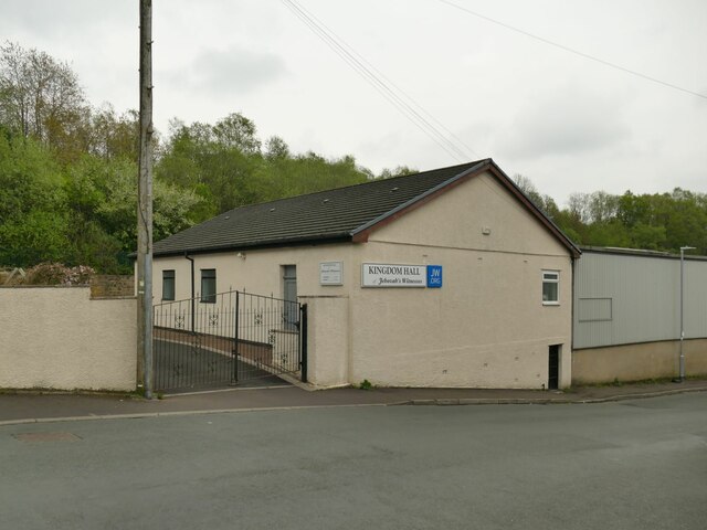
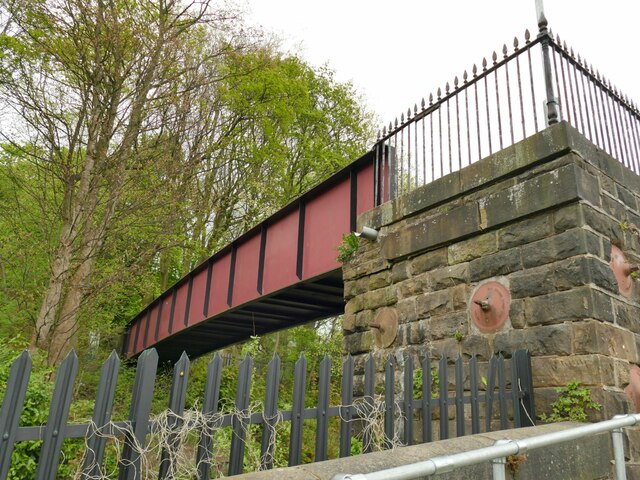
Birks Clough Images

Images are sourced within 2km of 53.730723/-2.0752956 or Grid Reference SD9526. Thanks to Geograph Open Source API. All images are credited.

Sunlight on Todmorden from ridge south of Stoodley Pike Monument
Old Boundary Marker in Stoodley Glen, Calderdale Township Boundary Marker above Stoodley Glen and south of Stoodley Lane. Formerly on the boundary of Langfield and Sowerby townships in Halifax parish. It marked the boundary of the Sowerby Ramble, a narrow strip of land along the Calder valley and up Stoodley Glen between Erringden and Stansfield townships and Erringden and Langfield township. Sowerby Ramble was part of Sowerby township but in 1850 it became part of Erringden township, later parish. In 1897 Langfield and Stansfield became part of Todmorden parish and in 1937 this part of Erringden parish also became part of Todmorden parish. 

Milestone Society National ID: YW_LANSOW02pb
Old Boundary Marker in Stoodley Glen, Calderdale
Township Boundary Marker above Stoodley Glen and south of Stoodley Lane. Formerly on the boundary of Langfield and Sowerby townships in Halifax parish. It marked the boundary of the Sowerby Ramble, a narrow strip of land along the Calder valley and up Stoodley Glen between Erringden and Stansfield townships and Erringden and Langfield township. Sowerby Ramble was part of Sowerby township but in 1850 it became part of Erringden township, later parish. In 1897 Langfield and Stansfield became part of Todmorden parish and in 1937 this part of Erringden parish also became part of Todmorden parish. Milestone Society National ID: YW_LANSOW02pb
Old Boundary Marker in Stoodley Glen, Calderdale Parish Boundary Marker in Stoodley Glen below Height Wood. Formerly on the boundary of Langfield and Sowerby townships in Halifax parish. It marked the boundary of the Sowerby Ramble, a narrow strip of land along the Calder valley and up Stoodley Glen between Erringden and Stansfield townships and Erringden and Langfield township. Sowerby Ramble was part of Sowerby township but in 1850 it became part of Erringden township, later parish. In 1897 Langfield and Stansfield became part of Todmorden parish and in 1937 this part of Erringden parish also became part of Todmorden parish..

Milestone Society National ID: YW_SOWERR01pb
Old Boundary Marker in Stoodley Glen, Calderdale
Parish Boundary Marker in Stoodley Glen below Height Wood. Formerly on the boundary of Langfield and Sowerby townships in Halifax parish. It marked the boundary of the Sowerby Ramble, a narrow strip of land along the Calder valley and up Stoodley Glen between Erringden and Stansfield townships and Erringden and Langfield township. Sowerby Ramble was part of Sowerby township but in 1850 it became part of Erringden township, later parish. In 1897 Langfield and Stansfield became part of Todmorden parish and in 1937 this part of Erringden parish also became part of Todmorden parish.. Milestone Society National ID: YW_SOWERR01pb
Old Boundary Marker Estate Boundary Marker set in a stone wall on Matthew Lane, a green lane. In the former Stansfield township and parish, absorbed into Todmorden parish in 1897. Not on any township or parish boundary so is thought to mark an estate boundary.

Milestone Society National ID: YW_TOD10em
Old Boundary Marker
Estate Boundary Marker set in a stone wall on Matthew Lane, a green lane. In the former Stansfield township and parish, absorbed into Todmorden parish in 1897. Not on any township or parish boundary so is thought to mark an estate boundary. Milestone Society National ID: YW_TOD10em
Old Boundary Marker on Baulk Head Lane, Todmorden Estate Boundary Marker set in a stone wall on Baulk Head Lane, a green lane. In the former Stansfield township and parish, absorbed into Todmorden parish in 1897. Not on any township or parish boundary so is thought to mark an estate boundary.

Milestone Society National ID: YW_TOD11em
Old Boundary Marker on Baulk Head Lane, Todmorden
Estate Boundary Marker set in a stone wall on Baulk Head Lane, a green lane. In the former Stansfield township and parish, absorbed into Todmorden parish in 1897. Not on any township or parish boundary so is thought to mark an estate boundary. Milestone Society National ID: YW_TOD11em
The Pennine Way near Higher Underbank Farm
House on the corner of Whiteplatts Street, Todmorden A grander residence than most in the area, maybe built for a manager of one of the nearby cotton mills.
House on the corner of Whiteplatts Street, Todmorden
A grander residence than most in the area, maybe built for a manager of one of the nearby cotton mills.
Kingdom Hall, Stansfield Street, Todmorden A place of worship of the Jehovah's Witnesses.
Kingdom Hall, Stansfield Street, Todmorden
A place of worship of the Jehovah's Witnesses.
Railway footbridge at the end of Stansfield Road I presume this is a modern steel replacement for the original bridge. See <a href="https://www.geograph.org.uk/photo/2011138">SD9324 : Footbridge at the end of Stansfield Road</a> for a wider view including the stone setted approach ramp.
Railway footbridge at the end of Stansfield Road
I presume this is a modern steel replacement for the original bridge. See SD9324 : Footbridge at the end of Stansfield Road for a wider view including the stone setted approach ramp.
Site of Stansfield Hall station This is the site of a railway station opened in 1869 and closed as early as 1944. The footbridge (or a modern replacement) is all that remains. The two tracks east of the footbridge bearing left lead to Hebden Bridge and the Calder Valley main line. The single lead to the right, which was overgrown when photographed in 2010 <a href="https://www.geograph.org.uk/photo/2011144">SD9324 : Burnley to Halifax Railway</a> has since been restored and is used by services from Blackburn to Manchester via Todmorden. The location is known as Stansfield Hall Junction.
Site of Stansfield Hall station
This is the site of a railway station opened in 1869 and closed as early as 1944. The footbridge (or a modern replacement) is all that remains. The two tracks east of the footbridge bearing left lead to Hebden Bridge and the Calder Valley main line. The single lead to the right, which was overgrown when photographed in 2010 SD9324 : Burnley to Halifax Railway has since been restored and is used by services from Blackburn to Manchester via Todmorden. The location is known as Stansfield Hall Junction.
Railway west of Stansfield Road footbridge The two tracks lead towards Burnley; the leading crossover is used by services in the opposite direction from Blackburn to Manchester via Stansfield Hall Junction <a href="https://www.geograph.org.uk/photo/7170336">SD9324 : Site of Stansfield Hall station</a>.
Railway west of Stansfield Road footbridge
The two tracks lead towards Burnley; the leading crossover is used by services in the opposite direction from Blackburn to Manchester via Stansfield Hall Junction SD9324 : Site of Stansfield Hall station.
Substation off Stansfield Hall Road
Playground off Stansfield Hall Road
Steps down from The Mount to Stansfield Hall Road There is a step-free route between the two roads but coming this way got me just into the next grid square.
Steps down from The Mount to Stansfield Hall Road
There is a step-free route between the two roads but coming this way got me just into the next grid square.
Garages at Willow Bank An eclectic collection probably erected by individual householders at different times.
Garages at Willow Bank
An eclectic collection probably erected by individual householders at different times.
Hole Bottom Road, Todmorden The buildings in the photo are what remains of a larger complex shown on the 1907 map as 'Todmorden Laundry'. Is the circular structure the base of its chimney, and if so, when and why was a door inserted into it?
Hole Bottom Road, Todmorden
The buildings in the photo are what remains of a larger complex shown on the 1907 map as 'Todmorden Laundry'. Is the circular structure the base of its chimney, and if so, when and why was a door inserted into it?
Stansfield Cottages, Hole Bottom Road There is a lantern advertising Duvel beer above the door but I see no evidence that this was ever a pub so it's probably just someone's souvenir.
Stansfield Cottages, Hole Bottom Road
There is a lantern advertising Duvel beer above the door but I see no evidence that this was ever a pub so it's probably just someone's souvenir.
Bridleway at Hole Bottom
Show me another place!

Birks Clough is located at Grid Ref: SD9526 (Lat: 53.730723, Lng: -2.0752956)

Division: West Riding

Unitary Authority: Calderdale

Police Authority: West Yorkshire

What 3 Words

///touchy.tube.comforted. Near Todmorden, West Yorkshire

Nearby Locations

Birks Clough Staups Moor

Related Wikis

South Pennines Regional Park

The South Pennines Regional Park (or South Pennines Park) was a proposed national park that would cover the South Pennines area in Northern England, encompassing...

Eastwood, West Yorkshire

Eastwood is a place within the civil parish of Todmorden and Metropolitan Borough of Calderdale, in West Yorkshire, England. It lies 8 miles (12.9 km)...

Eastwood (L&Y) railway station

Eastwood Railway Station served the village of Eastwood in the civil parish of Todmorden, West Yorkshire, England. The station opened with the line on...

Blackshaw

Blackshaw is a civil parish in the Calderdale metropolitan borough of West Yorkshire, England. It contains the village of Blackshaw Head. According to...

Nearby Amenities

Located within 500m of 53.730723,-2.0752956
Barrier: stile
Lat/Long: 53.7277227/-2.0808028
The data included in this document is from www.openstreetmap.org. The data is made available under ODbL.

Have you been to Birks Clough?

Leave your review of Birks Clough below (or comments, questions and feedback).