Little Susan's Wood
Wood, Forest in Staffordshire Staffordshire Moorlands
England
Little Susan's Wood
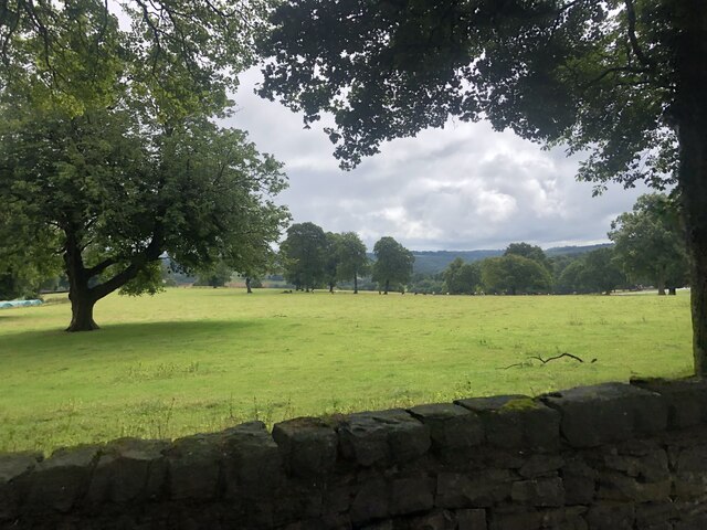
Little Susan's Wood is a small but enchanting woodland located in the county of Staffordshire, England. Covering an area of approximately 10 acres, it is nestled within the picturesque countryside, providing a tranquil and serene escape from the bustling city life.
The wood is named after the renowned botanist Susan Johnson, who dedicated her life to the study and preservation of local flora and fauna. It was established as a nature reserve in 1985, with the aim of protecting the diverse range of plant and animal species that call it home.
The wood is primarily composed of native broadleaf trees such as oak, beech, and ash. Their towering canopies create a dense and shaded environment, offering a cool retreat during the summer months. The forest floor is adorned with a vibrant carpet of bluebells and wildflowers, providing a stunning display of color during the spring season.
Little Susan's Wood is a haven for wildlife enthusiasts, as it boasts a rich variety of fauna. Deer, foxes, and squirrels can often be spotted darting between the trees, while a chorus of birdsong fills the air, including woodpeckers, robins, and thrushes. The wood is also home to several rare and protected species, such as the endangered lesser spotted woodpecker and the hazel dormouse.
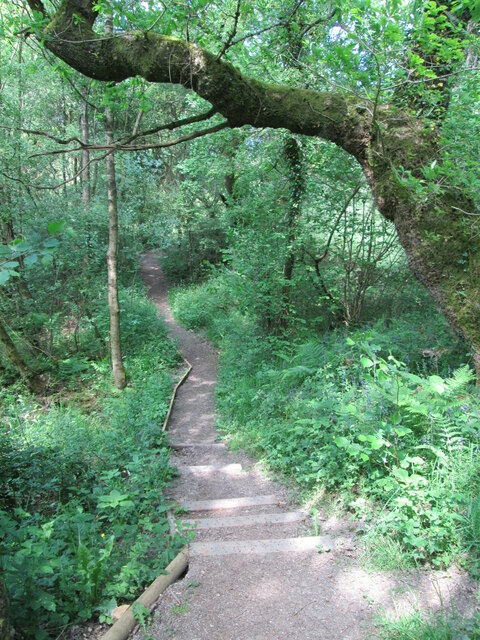
Visitors to Little Susan's Wood can explore the numerous walking trails that wind through the forest, offering a chance to immerse themselves in the natural beauty of the surroundings. Interpretive signs along the way provide information about the different species and habitats, creating an educational experience for all ages.
Overall, Little Susan's Wood is a true gem in the Staffordshire countryside, offering a peaceful retreat and an opportunity to connect with nature.
If you have any feedback on the listing, please let us know in the comments section below.
Little Susan's Wood Images
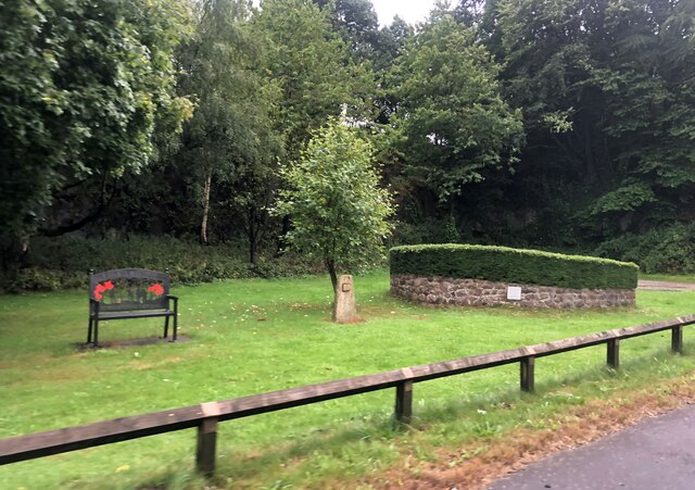
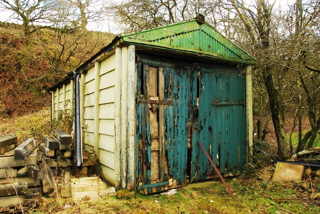
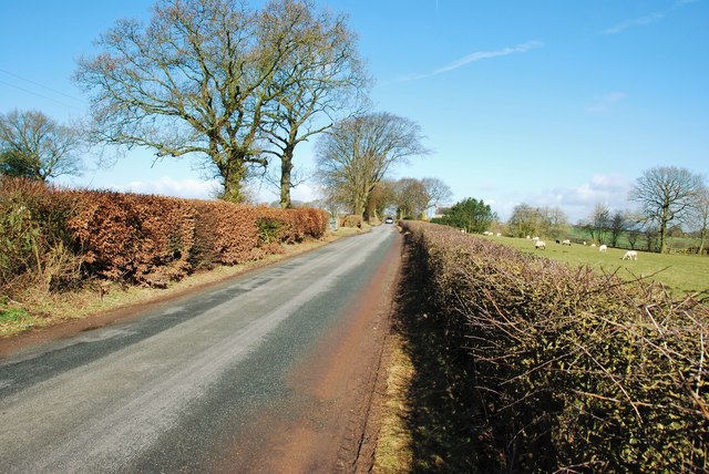
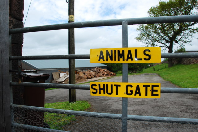
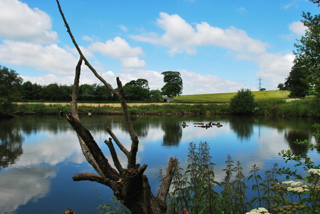
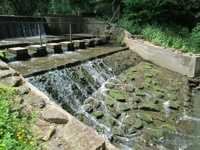
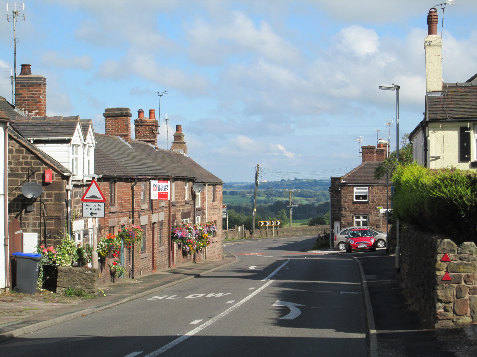
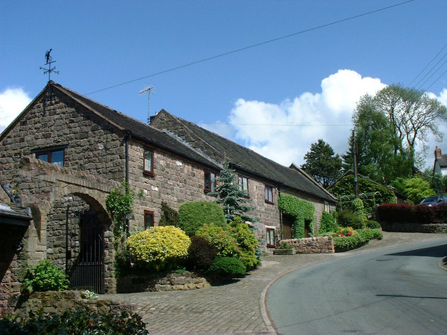
Images are sourced within 2km of 53.058211/-2.0683247 or Grid Reference SJ9551. Thanks to Geograph Open Source API. All images are credited.
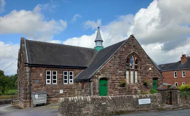
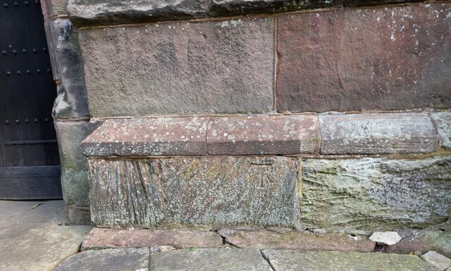
![Cheddleton, old school There is a benchmark cut into the south-east face of the old school [now a tearoom]. It is to the left of the building.](https://s3.geograph.org.uk/geophotos/07/00/51/7005111_d5b79137.jpg)
Little Susan's Wood is located at Grid Ref: SJ9551 (Lat: 53.058211, Lng: -2.0683247)
Administrative County: Staffordshire
District: Staffordshire Moorlands
Police Authority: Staffordshire
What 3 Words
///repaid.detonated.homeward. Near Cheddleton, Staffordshire
Nearby Locations
Related Wikis

Cheddleton
Cheddleton is an ancient parish and village in the Staffordshire Moorlands, near to the town of Leek, England. == History == The village is divided into...

Ashcombe Park, Staffordshire
Ashcombe Park is a country house and estate near Cheddleton, in Staffordshire, England. The house is a Grade II* listed building, listed on 2 May 1953...

Deep Hayes Country Park
Deep Hayes Country Park is a country park in Staffordshire, England. It is about 3 miles (4.8 km) south-west of Leek, a short distance south of the A53...

Cheddleton Flint Mill
Cheddleton Flint Mill is a water mill situated in the village of Cheddleton in the English county of Staffordshire. The mill race takes water from the...
Wetley Rocks
Wetley Rocks is a village in Staffordshire, England, about 2 miles (3.2 km) south of Cheddleton and 6 miles (9.7 km) south of Leek. For population details...

Bagnall, Staffordshire
Bagnall is a village and civil parish in Staffordshire, England, north-east of Stoke-on-Trent. Although Bagnall is located only a few short miles from...
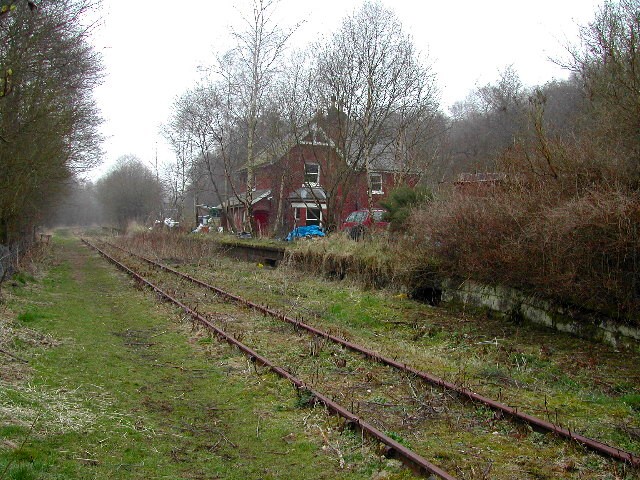
Wall Grange railway station
Wall Grange railway station is a disused railway station in Staffordshire, England. == History == The Stoke–Leek line was opened by the North Staffordshire...
Stanley, Staffordshire
Stanley is a small village in the Staffordshire Moorlands district of Staffordshire, England, about 4 miles (6.4 km) southwest of Leek. The village of...
Nearby Amenities
Located within 500m of 53.058211,-2.0683247Have you been to Little Susan's Wood?
Leave your review of Little Susan's Wood below (or comments, questions and feedback).