Spring Coppice
Wood, Forest in Staffordshire
England
Spring Coppice

Spring Coppice is a picturesque woodland area located in Staffordshire, England. Situated in the heart of the county, it covers an area of approximately 50 acres. The coppice is renowned for its diverse range of flora and fauna, making it a popular destination for nature enthusiasts and hikers.
The woodland is primarily composed of deciduous trees, including oak, birch, and ash. These trees provide a lush canopy that offers shade and shelter to a variety of wildlife. The forest floor is carpeted with a vibrant array of wildflowers, creating a beautiful tapestry of colors during the spring and summer months.
Spring Coppice is intersected by several meandering footpaths, which allow visitors to explore the woodland at their leisure. These paths wind through the trees, providing glimpses of hidden glades and babbling brooks. Along the way, visitors may encounter a wide range of wildlife, including deer, squirrels, and a myriad of bird species.
In addition to its natural beauty, Spring Coppice also has historical significance. It is believed to have been used as a source of timber for local industries in the past. The coppicing technique, where trees are periodically cut down to encourage new growth, was employed to ensure a sustainable supply of wood.
Today, Spring Coppice is managed by the local conservation trust, which works tirelessly to preserve the natural habitat and protect the wildlife. The woodland is open to the public year-round, offering a tranquil escape from the hustle and bustle of everyday life. Whether one seeks a peaceful walk, a chance to observe nature, or simply a moment of solitude, Spring Coppice provides a serene and enchanting environment to be enjoyed by all.
If you have any feedback on the listing, please let us know in the comments section below.
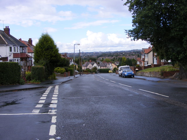
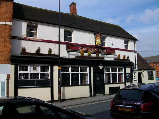
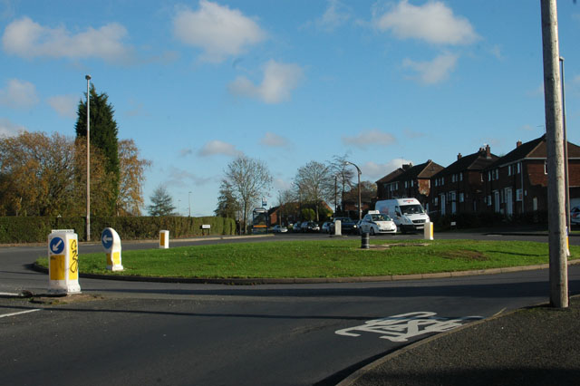
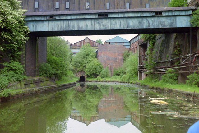
Spring Coppice Images
Images are sourced within 2km of 52.463042/-2.067396 or Grid Reference SO9585. Thanks to Geograph Open Source API. All images are credited.


Spring Coppice is located at Grid Ref: SO9585 (Lat: 52.463042, Lng: -2.067396)
Unitary Authority: Sandwell
Police Authority: West Midlands
What 3 Words
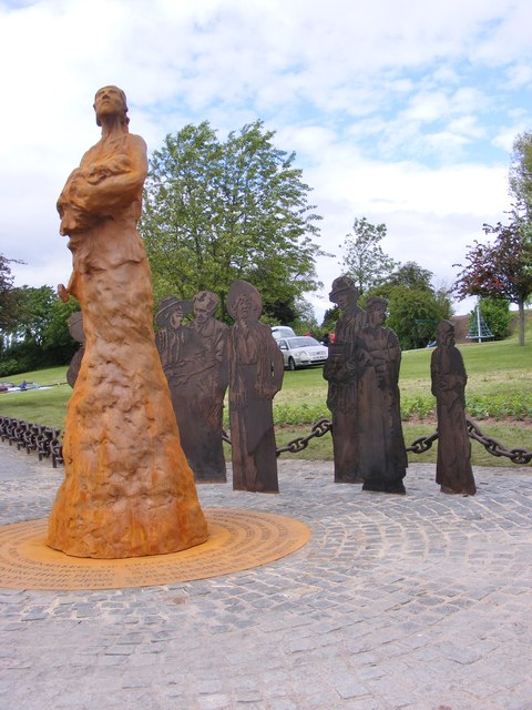
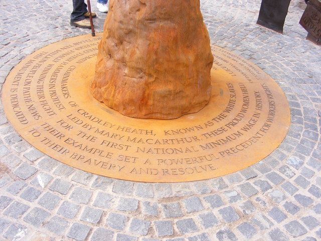
///laser.caked.guises. Near Cradley Heath, West Midlands
Nearby Locations
Related Wikis

Haden Hill
Haden Hill is a residential area in the West Midlands of England, straddling the border of Halesowen and Cradley Heath townships and the modern boroughs...

Haden Hill Park
Haden Hill Park is at Haden Hill, between Halesowen and Old Hill in the West Midlands, England, on the southern edge of the Black Country. Within its grounds...

Hawne
Hawne is a residential area approximately one mile from Halesowen town centre in the county of West Midlands, England. It includes Newfield Park Primary...
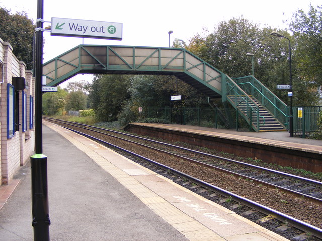
Old Hill railway station
Old Hill railway station is in Old Hill, West Midlands, England, on the Birmingham-Stourbridge line. It is managed by West Midlands Trains, who provide...
Causeway United F.C.
Causeway United Football Club was a football club based in Halesowen, England, but originally from Oldbury. == History == Causeway United FC was formed...
Halesowen Town F.C.
Halesowen Town Football Club is a football club based in Halesowen, West Midlands, England. They are currently members of the Southern League Premier Division...

Old Hill
Old Hill is a village in Rowley Regis in the metropolitan borough of Sandwell in the West Midlands, England, situated around 2 miles (3.2 km) north of...
Coombes Holloway Halt railway station
Coombes Holloway Halt railway station was a railway station in Halesowen, England, on the Great Western Railway & Midland Railway's Joint Halesowen Railway...
Nearby Amenities
Located within 500m of 52.463042,-2.067396Have you been to Spring Coppice?
Leave your review of Spring Coppice below (or comments, questions and feedback).