Big Susan's Wood
Wood, Forest in Staffordshire Staffordshire Moorlands
England
Big Susan's Wood
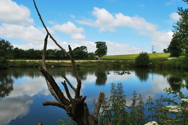
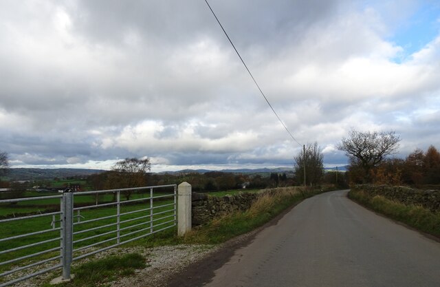
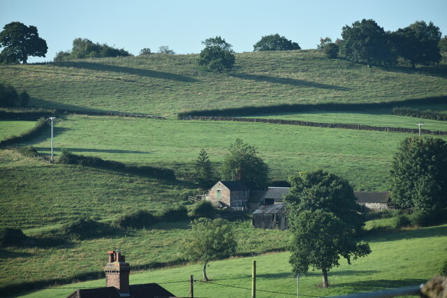
Big Susan's Wood is a charming forest located in Staffordshire, England. Spanning over a vast area, it offers visitors a tranquil and serene environment away from the bustling city life. The wood is known for its rich biodiversity and is a popular destination for nature enthusiasts and hikers alike.
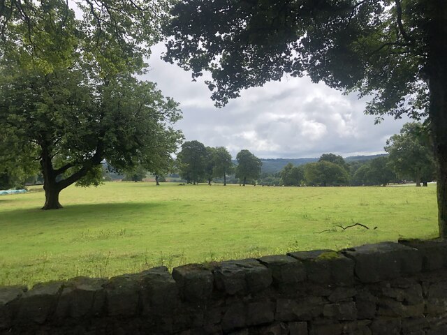
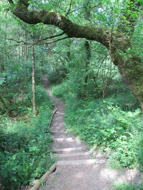
Covered in a dense canopy of towering trees, Big Susan's Wood provides a picturesque setting with its lush greenery and vibrant flora. The wood is home to a diverse range of plant species, including oak, beech, and birch trees, creating a vibrant and ever-changing landscape throughout the seasons. The forest floor is adorned with a carpet of wildflowers, adding bursts of color to the surroundings.
The wood is also a haven for wildlife, serving as a habitat for various animal species. Visitors may catch a glimpse of deer, foxes, rabbits, and a wide array of bird species that call Big Susan's Wood their home. Birdwatchers will especially appreciate the opportunity to spot rare and migratory birds in this natural sanctuary.
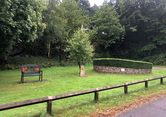
For those seeking outdoor activities, Big Susan's Wood offers numerous walking trails and paths that crisscross the forest. These trails cater to different levels of difficulty, accommodating everyone from casual walkers to avid hikers. The wood also features picnic spots and benches, allowing visitors to relax and enjoy the peaceful surroundings.
Overall, Big Susan's Wood is a hidden gem in Staffordshire, providing a delightful escape into nature. Its diverse ecosystem, scenic beauty, and recreational opportunities make it a must-visit destination for individuals seeking solace in the great outdoors.
If you have any feedback on the listing, please let us know in the comments section below.
Big Susan's Wood Images
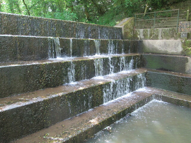
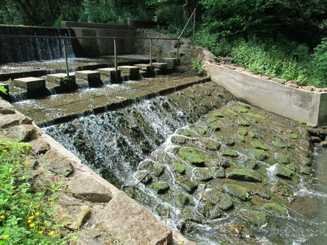
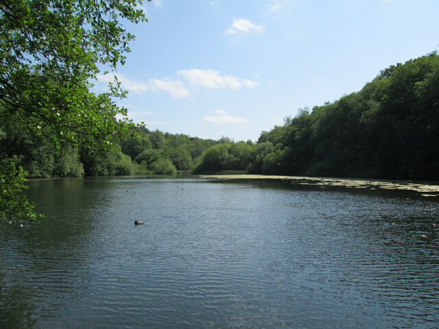
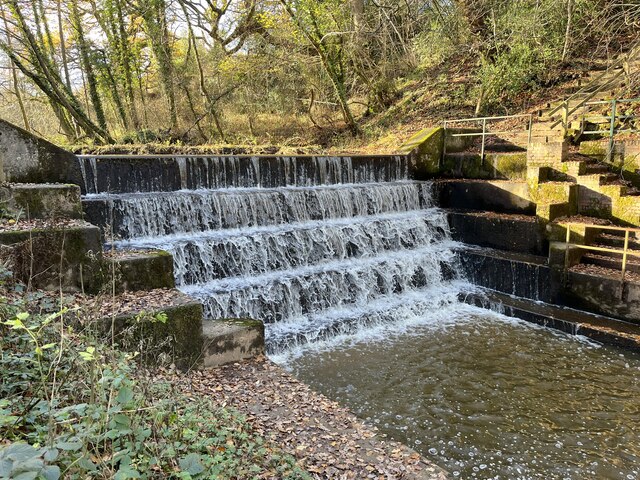
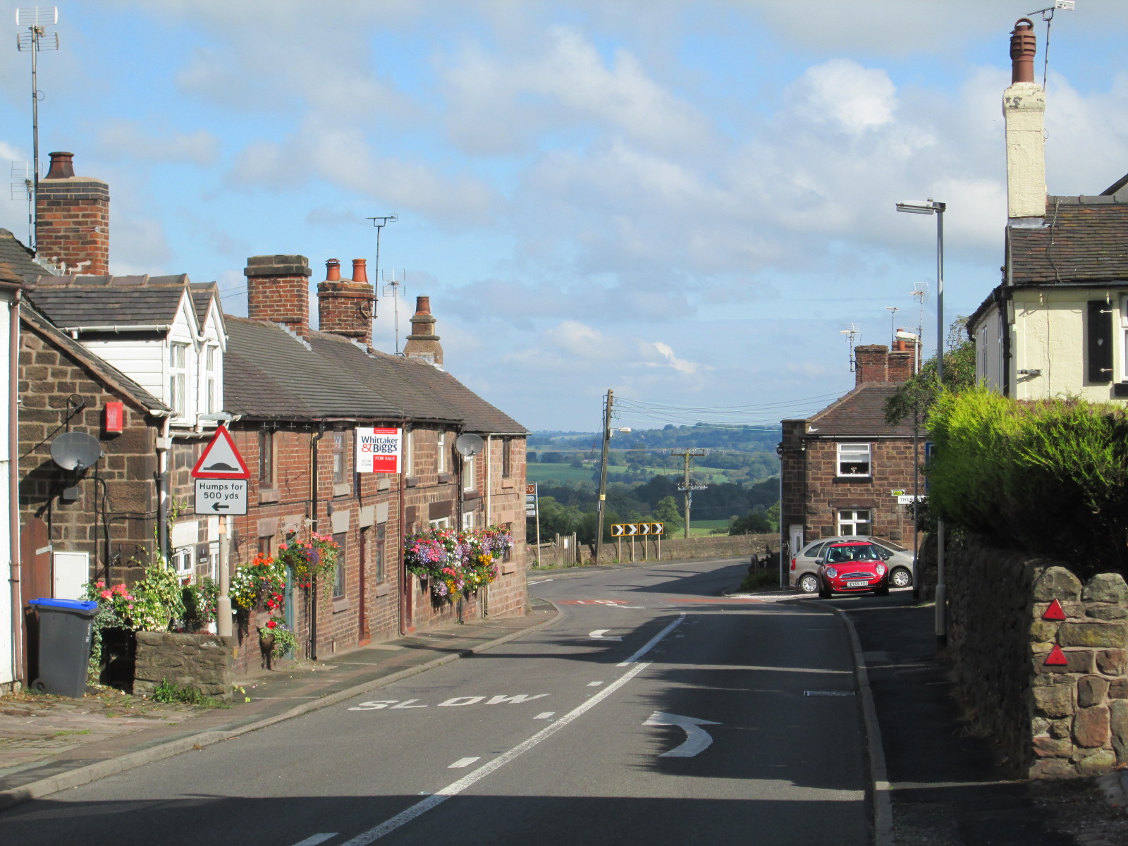
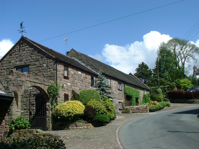
Images are sourced within 2km of 53.059542/-2.0681776 or Grid Reference SJ9551. Thanks to Geograph Open Source API. All images are credited.
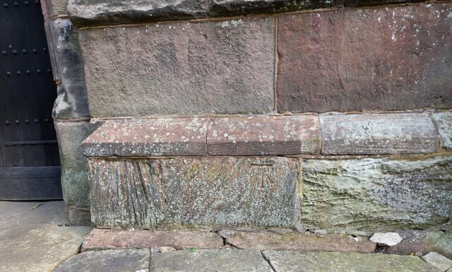
![Cheddleton, old school There is a benchmark cut into the south-east face of the old school [now a tearoom]. It is to the left of the building.](https://s3.geograph.org.uk/geophotos/07/00/51/7005111_d5b79137.jpg)
Big Susan's Wood is located at Grid Ref: SJ9551 (Lat: 53.059542, Lng: -2.0681776)
Administrative County: Staffordshire
District: Staffordshire Moorlands
Police Authority: Staffordshire
What 3 Words
///girder.intention.grips. Near Cheddleton, Staffordshire
Nearby Locations
Related Wikis

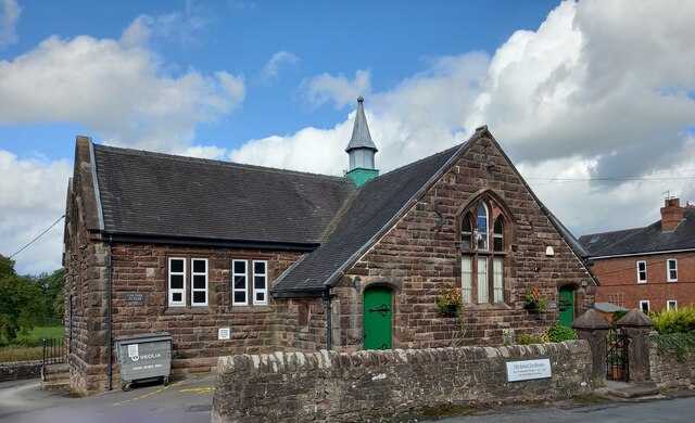
Cheddleton
Cheddleton is an ancient parish and village in the Staffordshire Moorlands, near to the town of Leek, England. == History == The village is divided into...

Ashcombe Park, Staffordshire
Ashcombe Park is a country house and estate near Cheddleton, in Staffordshire, England. The house is a Grade II* listed building, listed on 2 May 1953...

Deep Hayes Country Park
Deep Hayes Country Park is a country park in Staffordshire, England. It is about 3 miles (4.8 km) south-west of Leek, a short distance south of the A53...

Cheddleton Flint Mill
Cheddleton Flint Mill is a water mill situated in the village of Cheddleton in the English county of Staffordshire. The mill race takes water from the...
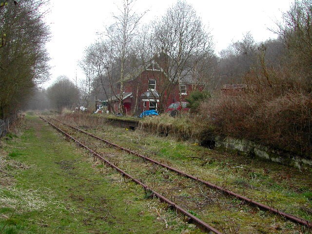
Wall Grange railway station
Wall Grange railway station is a disused railway station in Staffordshire, England. == History == The Stoke–Leek line was opened by the North Staffordshire...

Bagnall, Staffordshire
Bagnall is a village and civil parish in Staffordshire, England, north-east of Stoke-on-Trent. Although Bagnall is located only a few short miles from...
Wetley Rocks
Wetley Rocks is a village in Staffordshire, England, about 2 miles (3.2 km) south of Cheddleton and 6 miles (9.7 km) south of Leek. For population details...
Stanley, Staffordshire
Stanley is a small village in the Staffordshire Moorlands district of Staffordshire, England, about 4 miles (6.4 km) southwest of Leek. The village of...
Nearby Amenities
Located within 500m of 53.059542,-2.0681776Have you been to Big Susan's Wood?
Leave your review of Big Susan's Wood below (or comments, questions and feedback).