Nettleton Plantation

Wood, Forest in Gloucestershire Cotswold

England

Nettleton Plantation

Minor country road No through road to Birdlip Radio Station.
Minor country road Credit: Philip Halling

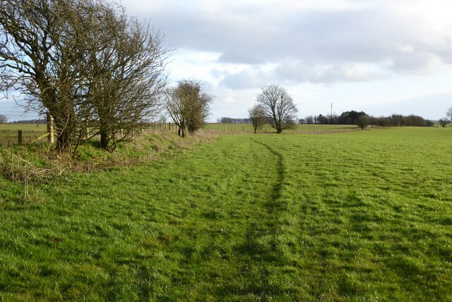
Nettleton Plantation is a charming woodland located in Gloucestershire, England. Situated in the heart of the Forest of Dean, this picturesque plantation encompasses a sprawling area of lush greenery and towering trees. With a rich history dating back several centuries, Nettleton Plantation has become a beloved destination for nature enthusiasts and history buffs alike.

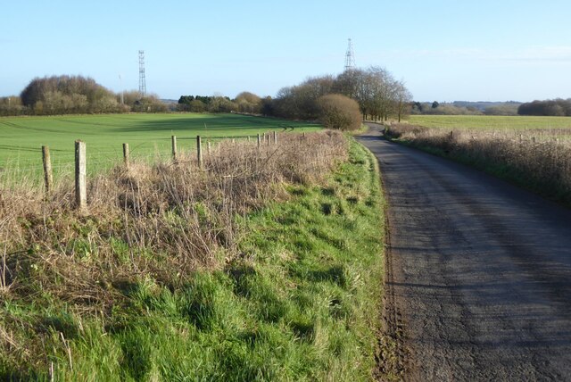
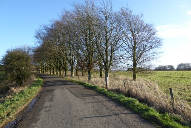
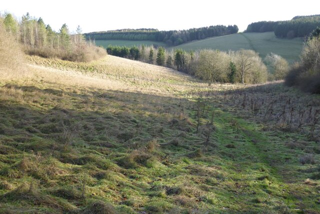
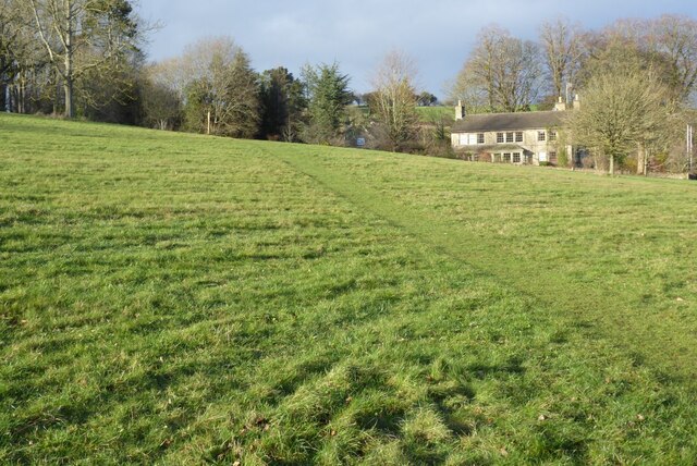
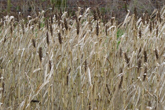
Covering approximately 200 acres, Nettleton Plantation offers visitors a tranquil retreat amidst the beauty of the forest. The woodland is predominantly made up of broadleaf trees such as oak, beech, and hazel, creating a diverse and vibrant ecosystem. The dense canopy provides shelter for a variety of wildlife, including deer, squirrels, and a myriad of bird species.

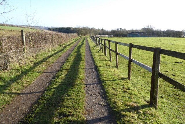
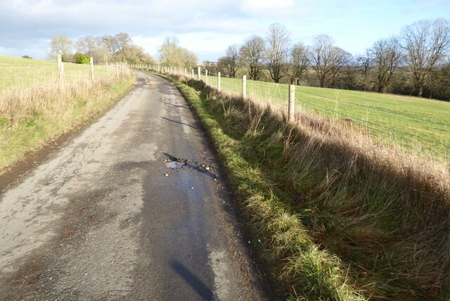
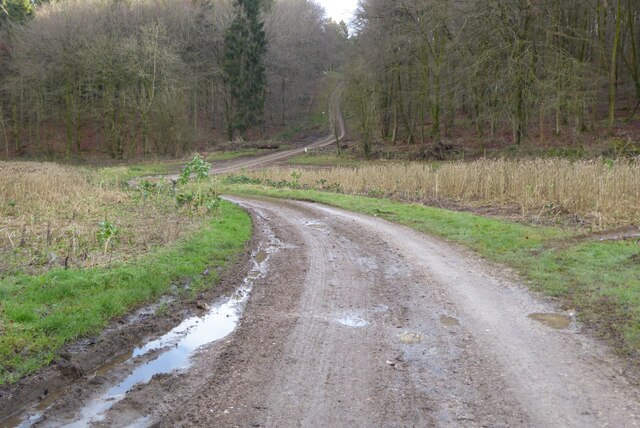
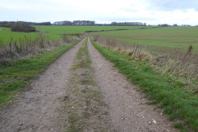
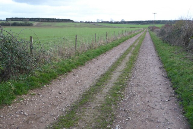
The plantation is intersected by several walking trails, allowing visitors to explore its natural wonders at their own pace. These trails wind through the woodland, revealing hidden gems such as babbling brooks, moss-covered rocks, and patches of wildflowers. It is a haven for nature photography and offers countless opportunities for capturing stunning shots of the flora and fauna.

Steeped in history, Nettleton Plantation holds remnants of its past. The plantation was once used for timber production, supplying the local area with valuable resources. Today, visitors can still find remnants of old saw pits and charcoal platforms, serving as a reminder of its industrial heritage.

Nettleton Plantation is a true gem nestled within the Gloucestershire countryside. Its natural beauty, diverse wildlife, and historical significance make it a must-visit destination for those seeking a peaceful escape into nature.

If you have any feedback on the listing, please let us know in the comments section below.

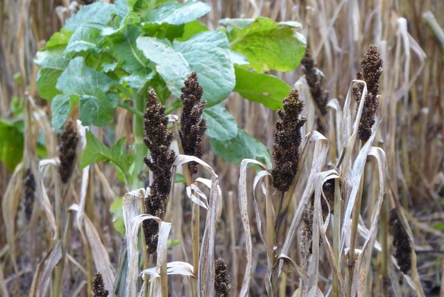
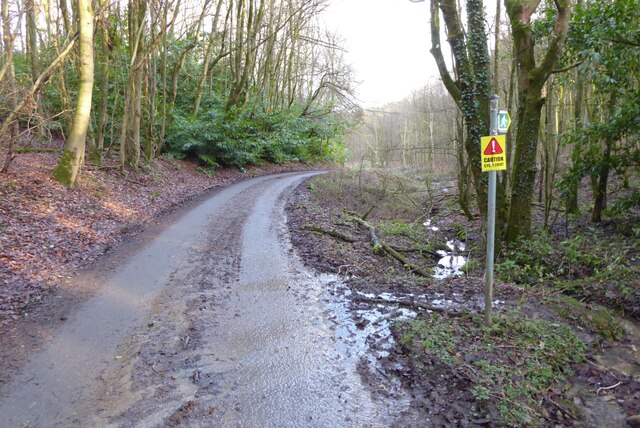
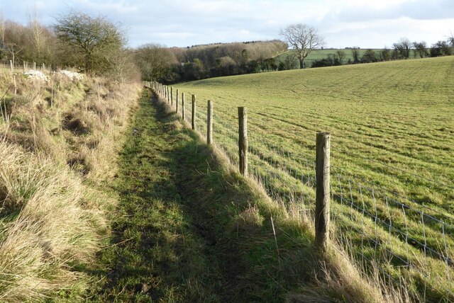
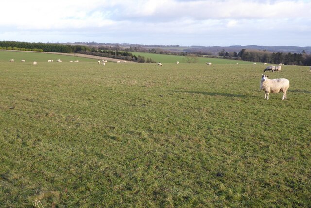
Nettleton Plantation Images

Images are sourced within 2km of 51.82186/-2.0806207 or Grid Reference SO9413. Thanks to Geograph Open Source API. All images are credited.

Minor country road No through road to Birdlip Radio Station.
Minor country road
No through road to Birdlip Radio Station.
Beech trees Beech trees near Birdlip Radio Station.
Beech trees
Beech trees near Birdlip Radio Station.
The Gloucestershire Way The Gloucestershire Way from a track approaching Rushwood Kennels.
The Gloucestershire Way
The Gloucestershire Way from a track approaching Rushwood Kennels.
The Gloucestershire Way The Gloucestershire Way crossing a field between forestry and entering the valley above Coberley known as Coldwell Bottom.
The Gloucestershire Way
The Gloucestershire Way crossing a field between forestry and entering the valley above Coberley known as Coldwell Bottom.
Coldwell Bottom The Gloucestershire Way long distance footpath follows this path above the valley on the right which is called Coldwell Bottom.
Coldwell Bottom
The Gloucestershire Way long distance footpath follows this path above the valley on the right which is called Coldwell Bottom.
Path and gate above Coldwell Bottom The Gloucestershire Way follows this right of way above Coldwell Bottom.
Path and gate above Coldwell Bottom
The Gloucestershire Way follows this right of way above Coldwell Bottom.
Field and house Field and house in Cowley.
Field and house
Field and house in Cowley.
Country road to Cowley Country road to the south of Cowley.
Country road to Cowley
Country road to the south of Cowley.
Track into Cowley Track into Cowley Wood in Harcombe Bottom south of the village of Cowley.
Track into Cowley
Track into Cowley Wood in Harcombe Bottom south of the village of Cowley.
Game cover in Harcombe Bottom
Game cover crop Game cover crop in Harcombe Bottom.
Game cover crop
Game cover crop in Harcombe Bottom.
Road entering Harcombe Bottom
Bridleway to Barcombe Bottom A similar view to this picture <a href="https://www.geograph.org.uk/photo/1155031">SO9513 : Snow covered farmland, near Cowley</a> I took in February 2009 after a fall of snow.
Bridleway to Barcombe Bottom
A similar view to this picture SO9513 : Snow covered farmland, near Cowley I took in February 2009 after a fall of snow.
Farmland above Cowley Sheep grazing on farmland above Cowley.
Farmland above Cowley
Sheep grazing on farmland above Cowley.
Farmland near Stockwell A public right of way follows the field boundary on the left.
Farmland near Stockwell
A public right of way follows the field boundary on the left.
Track and footpath Track and footpath to Barrow Wake.
Track and footpath
Track and footpath to Barrow Wake.
Track and footpath Track and footpath on Shab Hill.
Track and footpath
Track and footpath on Shab Hill.
Stone Stile, Elkstone Not on a registered footpath, this affords access to the woodland and the well trodden path leads to the private house "Highgate". This is the view from the woodland, the alternative view from the road is <a href="https://www.geograph.org.uk/photo/7104422">SO9512 : Stone Stile, Elkstone</a>.
Stone Stile, Elkstone
Not on a registered footpath, this affords access to the woodland and the well trodden path leads to the private house "Highgate". This is the view from the woodland, the alternative view from the road is SO9512 : Stone Stile, Elkstone.
Show me another place!

Nettleton Plantation is located at Grid Ref: SO9413 (Lat: 51.82186, Lng: -2.0806207)

Administrative County: Gloucestershire

District: Cotswold

Police Authority: Gloucestershire

What 3 Words

///baseless.retract.laptop. Near Shurdington, Gloucestershire

Related Wikis

Bushley Muzzard, Brimpsfield

Bushley Muzzard, Brimpsfield (grid reference SO944133) is a 1.13-hectare (2.8-acre) biological Site of Special Scientific Interest in Gloucestershire,...

Brimpsfield Priory

Brimpsfield Priory was a Benedictine monastic foundation in Brimpsfield, Gloucestershire, England, a cell or grange of the Abbey of Saint-Wandrille in...

Church of St Michael, Brimpsfield

The Anglican Church of St Michael at Brimpsfield in the Cotswold District of Gloucestershire, England was built in 12th century. It is a grade I listed...

Birdlip

Birdlip is a village and civil parish, in the Cotswold district, in the county of Gloucestershire, England. It is in the Cotswolds Area of Outstanding...

Nearby Amenities

Located within 500m of 51.82186,-2.0806207
Pub
The Golden Heart Inn
Addr City: Gloucester
Addr Housename: The Golden Heart Inn
Addr Postcode: GL4 8LA
Addr Street: Birdlip
Contact Facebook: https://www.facebook.com/TheGoldenHeartInn/
Phone: +441242 870261
Website: https://thegoldenheart.co.uk/
Wikidata: Q26625839
Lat/Long: 51.8219365/-2.0838186
Nettleton
Is In: Gloucestershire, England, UK
Place: hamlet
Lat/Long: 51.8219414/-2.0809918
Archaeological Site: tumulus
Historic: archaeological_site
Source: NPE
Lat/Long: 51.8207325/-2.0813668
Watercombe
Is In: Gloucestershire, England, UK
Place: hamlet
Source: NPE
Lat/Long: 51.8175628/-2.0822679
Motorway Junction
Cowley Junction
Lat/Long: 51.8196192/-2.0757226
Motorway Junction
Cowley Junction
Lat/Long: 51.8196927/-2.0755681
Grit Bin
Lat/Long: 51.8226085/-2.0871363
Grit Bin
Lat/Long: 51.8217073/-2.0808204
Grit Bin
Lat/Long: 51.8196266/-2.0756415
Grit Bin
Lat/Long: 51.8196676/-2.0762345
Grit Bin
Lat/Long: 51.8193087/-2.0763961
Communication Mobile Phone: yes
Man Made: mast
Tower Type: communication
Lat/Long: 51.8234374/-2.0753324
Cell 5183 Brimpsfield
Location Transition: yes
Power: pole
Transformer: distribution
Voltage Primary: 11000
Lat/Long: 51.8234565/-2.0751909
The data included in this document is from www.openstreetmap.org. The data is made available under ODbL.

Have you been to Nettleton Plantation?

Leave your review of Nettleton Plantation below (or comments, questions and feedback).