Nettleton
Settlement in Gloucestershire Cotswold
England
Nettleton
Nettleton is a small village located in the county of Gloucestershire, England. Situated in the Cotswolds Area of Outstanding Natural Beauty, Nettleton is surrounded by picturesque rolling hills and lush countryside. The village is nestled in a tranquil valley, with the River Avon meandering nearby.
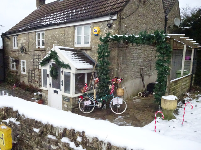
Nettleton is known for its quaint and charming atmosphere, featuring traditional Cotswold stone houses and thatched cottages. The village has a population of around 200 residents, creating a close-knit community feel. Its idyllic setting and peaceful surroundings make Nettleton a popular destination for those seeking a rural escape.
The village is home to a historic church, St. John the Baptist, which dates back to the 12th century. The church is a fine example of Norman architecture and features an impressive bell tower. Nettleton also boasts a village hall, which serves as a hub for community events and gatherings.
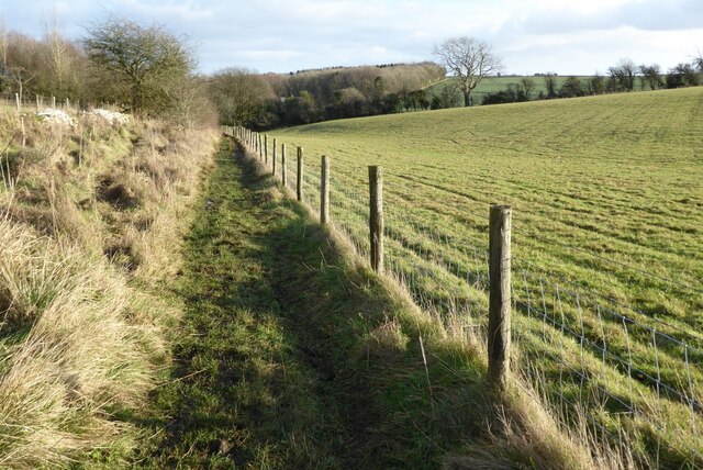
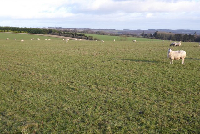
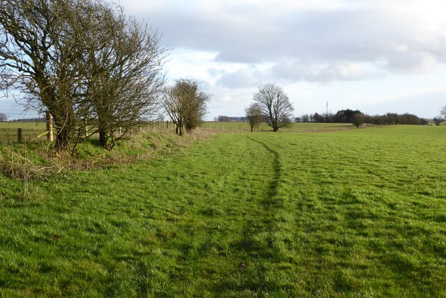
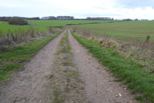
Nature enthusiasts will find plenty to explore in and around Nettleton. The village is surrounded by walking trails and footpaths, offering breathtaking views of the Cotswolds landscape. The nearby Westonbirt Arboretum, a renowned tree collection, is a short drive away and attracts visitors from far and wide.
Although Nettleton is a small village, it benefits from its proximity to larger towns and cities. The market town of Tetbury is just a few miles away, offering a range of amenities including shops, cafes, and restaurants. The city of Bristol is approximately 20 miles to the southwest, providing access to a wider array of cultural, educational, and commercial opportunities.
In conclusion, Nettleton, Gloucestershire is a charming village nestled in the heart of the Cotswolds. With its stunning natural surroundings, historic church, and sense of community, Nettleton offers a peaceful retreat for residents and visitors alike.
If you have any feedback on the listing, please let us know in the comments section below.
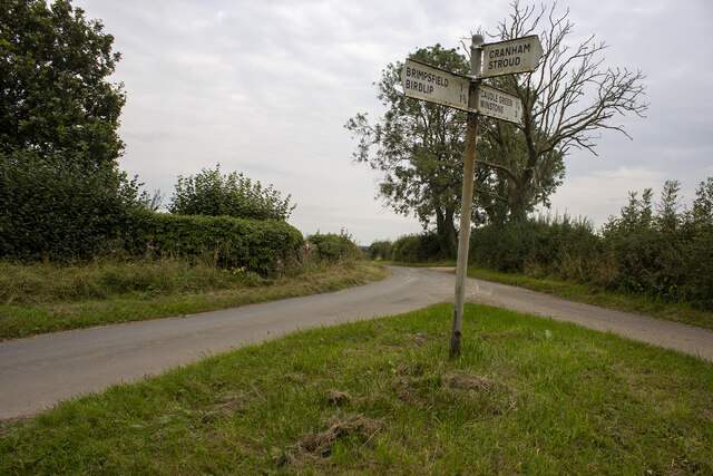
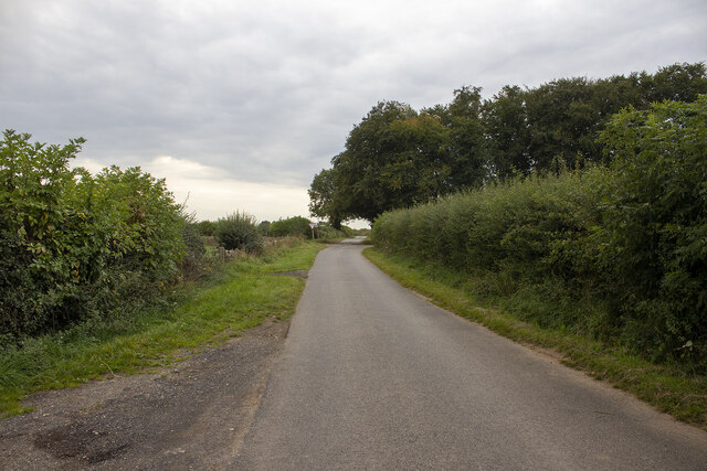
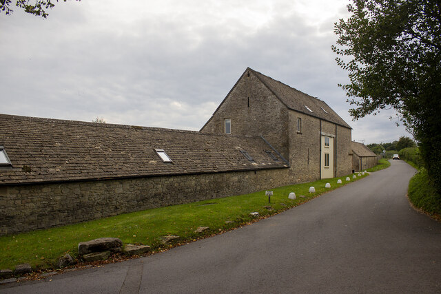
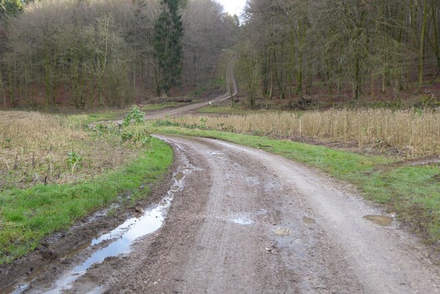
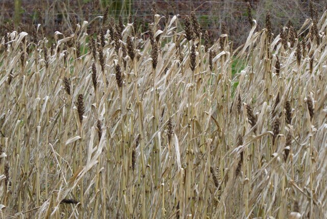
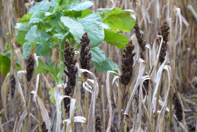
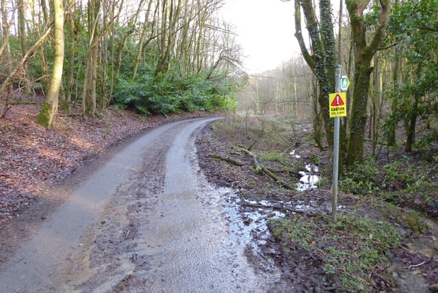
Nettleton Images
Images are sourced within 2km of 51.815596/-2.088443 or Grid Reference SO9413. Thanks to Geograph Open Source API. All images are credited.


Nettleton is located at Grid Ref: SO9413 (Lat: 51.815596, Lng: -2.088443)
Administrative County: Gloucestershire
District: Cotswold
Police Authority: Gloucestershire
What 3 Words
///glad.golf.loopholes. Near Shurdington, Gloucestershire
Nearby Locations
Related Wikis

Brimpsfield Priory
Brimpsfield Priory was a Benedictine monastic foundation in Brimpsfield, Gloucestershire, England, a cell or grange of the Abbey of Saint-Wandrille in...

Church of St Michael, Brimpsfield
The Anglican Church of St Michael at Brimpsfield in the Cotswold District of Gloucestershire, England was built in 12th century. It is a grade I listed...

Bushley Muzzard, Brimpsfield
Bushley Muzzard, Brimpsfield (grid reference SO944133) is a 1.13-hectare (2.8-acre) biological Site of Special Scientific Interest in Gloucestershire,...

Brimpsfield
Brimpsfield is a village in Gloucestershire, England. The village is recorded in Domesday Book as Brimesfelde. Brimpsfield Castle was built in the village...
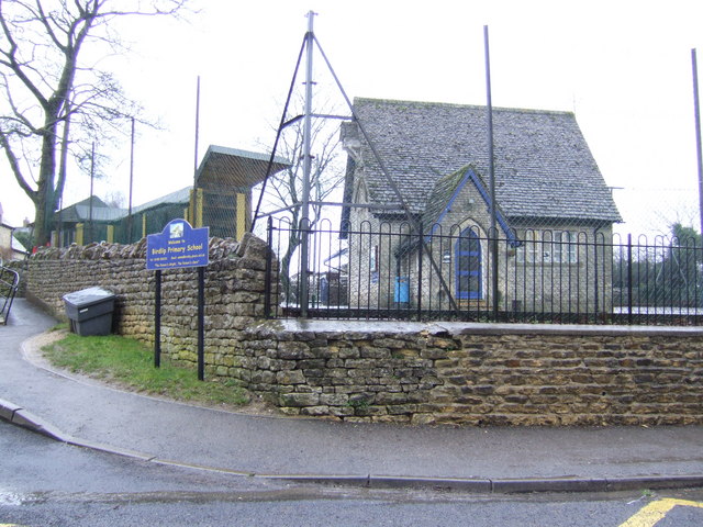
Birdlip
Birdlip is a village and civil parish, in the Cotswold district, in the county of Gloucestershire, England. It is in the Cotswolds Area of Outstanding...

Barrow Wake
Barrow Wake is a scenic view in Gloucestershire, near Birdlip, England. Barrow Wake was used as the location for the music video "Wytches" by Pagan Rock...
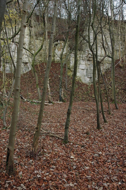
Knap House Quarry, Birdlip
Knap House Quarry, Birdlip (grid reference SO925147) is a 1.80-hectare (4.4-acre) geological Site of Special Scientific Interest in Gloucestershire, notified...

Church of St Mary the Virgin, Syde
The Anglican Church of St Mary the Virgin at Syde in the Cotswold District of Gloucestershire, England was built in the early 12th century. It is a grade...
Nearby Amenities
Located within 500m of 51.815596,-2.088443Have you been to Nettleton?
Leave your review of Nettleton below (or comments, questions and feedback).