Birtlands Grove
Wood, Forest in Gloucestershire Cotswold
England
Birtlands Grove
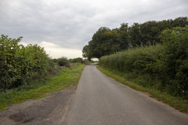
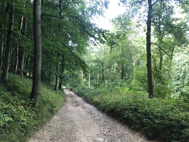
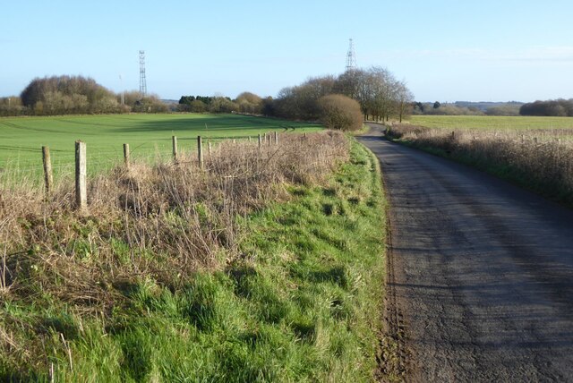
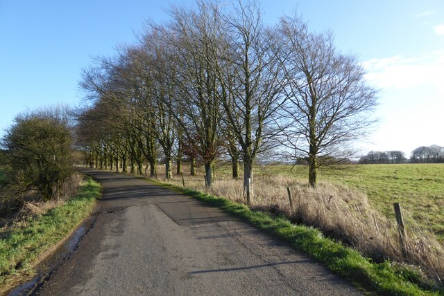
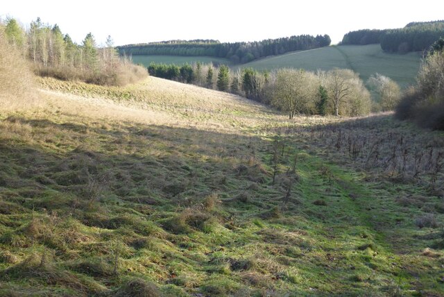
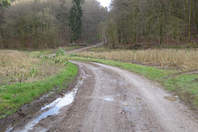
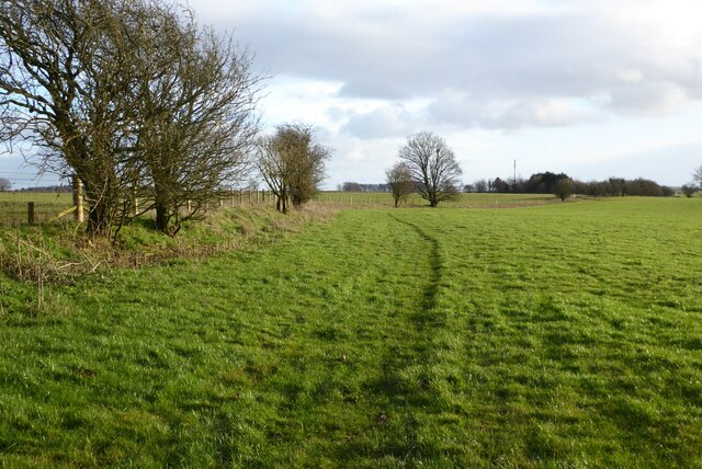
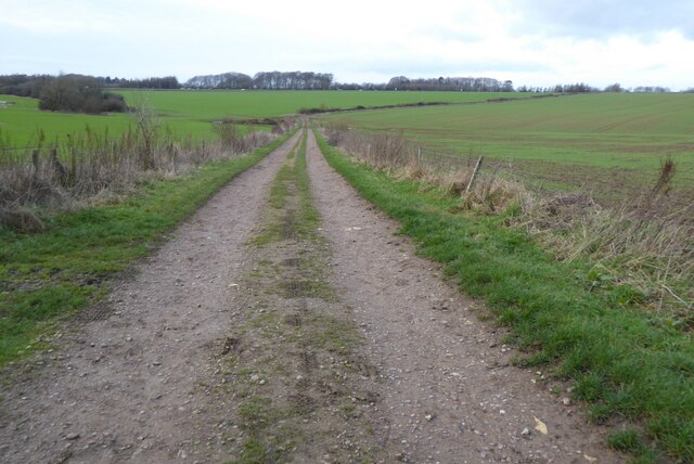
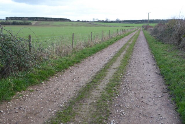
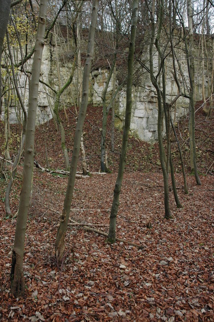
Birtlands Grove is a serene woodland located in Gloucestershire, England. Situated in the heart of the Forest of Dean, this picturesque area covers approximately 200 acres of untouched natural beauty. With its lush greenery, towering trees, and peaceful atmosphere, it offers a tranquil escape from the hustle and bustle of everyday life.
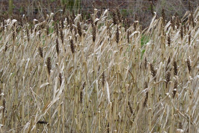
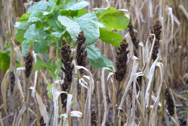
The grove is home to a diverse range of flora and fauna, making it a haven for nature enthusiasts and wildlife lovers. Visitors can expect to encounter ancient oaks, beech, and birch trees, as well as a variety of wildflowers and ferns that adorn the forest floor. The rich biodiversity of the area attracts numerous bird species, including woodpeckers, owls, and songbirds, creating a symphony of sounds as they go about their daily routines.
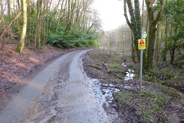
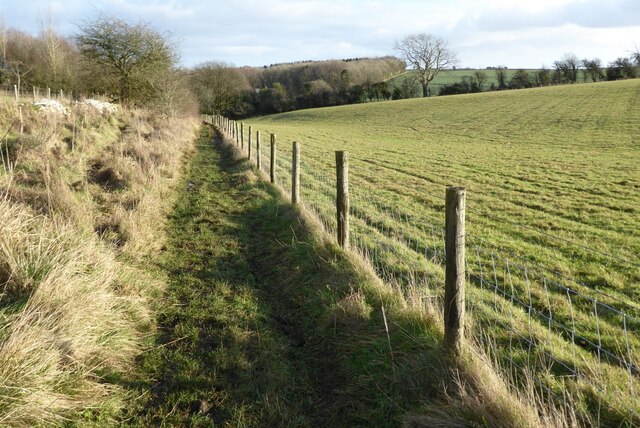
Birtlands Grove also boasts a network of walking trails that wind their way through the woodland, allowing visitors to explore its hidden treasures at their own pace. These paths lead to enchanting clearings, babbling brooks, and secluded picnic spots, providing ample opportunities for relaxation and contemplation.
Furthermore, the grove is known for its historical significance. It is believed to have been used by the ancient Romans as a settlement and later served as a hunting ground for local nobility. These remnants of the past add an extra layer of intrigue to the natural beauty of Birtlands Grove.
Whether you are seeking solitude, a chance to reconnect with nature, or simply a break from the everyday grind, Birtlands Grove offers a truly enchanting experience in the heart of Gloucestershire's woodlands.
If you have any feedback on the listing, please let us know in the comments section below.
Birtlands Grove Images
Images are sourced within 2km of 51.819975/-2.088234 or Grid Reference SO9413. Thanks to Geograph Open Source API. All images are credited.


Birtlands Grove is located at Grid Ref: SO9413 (Lat: 51.819975, Lng: -2.088234)
Administrative County: Gloucestershire
District: Cotswold
Police Authority: Gloucestershire
What 3 Words
///orchids.parsnips.menswear. Near Shurdington, Gloucestershire
Nearby Locations
Related Wikis

Bushley Muzzard, Brimpsfield
Bushley Muzzard, Brimpsfield (grid reference SO944133) is a 1.13-hectare (2.8-acre) biological Site of Special Scientific Interest in Gloucestershire,...

Brimpsfield Priory
Brimpsfield Priory was a Benedictine monastic foundation in Brimpsfield, Gloucestershire, England, a cell or grange of the Abbey of Saint-Wandrille in...

Church of St Michael, Brimpsfield
The Anglican Church of St Michael at Brimpsfield in the Cotswold District of Gloucestershire, England was built in 12th century. It is a grade I listed...
Birdlip
Birdlip is a village and civil parish, in the Cotswold district, in the county of Gloucestershire, England. It is in the Cotswolds Area of Outstanding...

Barrow Wake
Barrow Wake is a scenic view in Gloucestershire, near Birdlip, England. Barrow Wake was used as the location for the music video "Wytches" by Pagan Rock...
Knap House Quarry, Birdlip
Knap House Quarry, Birdlip (grid reference SO925147) is a 1.80-hectare (4.4-acre) geological Site of Special Scientific Interest in Gloucestershire, notified...

Brimpsfield
Brimpsfield is a village in Gloucestershire, England. The village is recorded in Domesday Book as Brimesfelde. Brimpsfield Castle was built in the village...

The Air Balloon, Birdlip
The Air Balloon is a road junction and former pub Birdlip, Gloucestershire, England. The junction is on the A417 at a significant congestion point. The...
Nearby Amenities
Located within 500m of 51.819975,-2.088234Have you been to Birtlands Grove?
Leave your review of Birtlands Grove below (or comments, questions and feedback).