Wareham's Plantation

Wood, Forest in Dorset

England

Wareham's Plantation

The eastern end of Charborough Park wall The famous wall of the deer park, beside the A31, one of the longest brick walls in England
The eastern end of Charborough Park wall Credit: David Smith

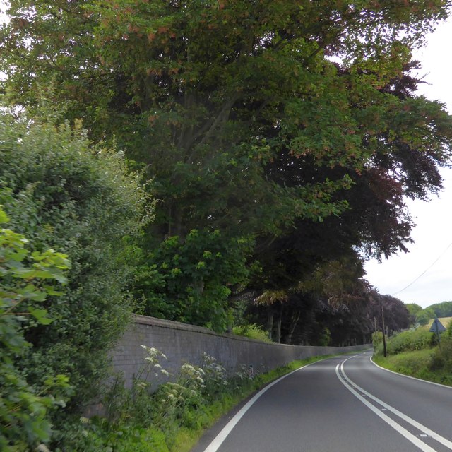
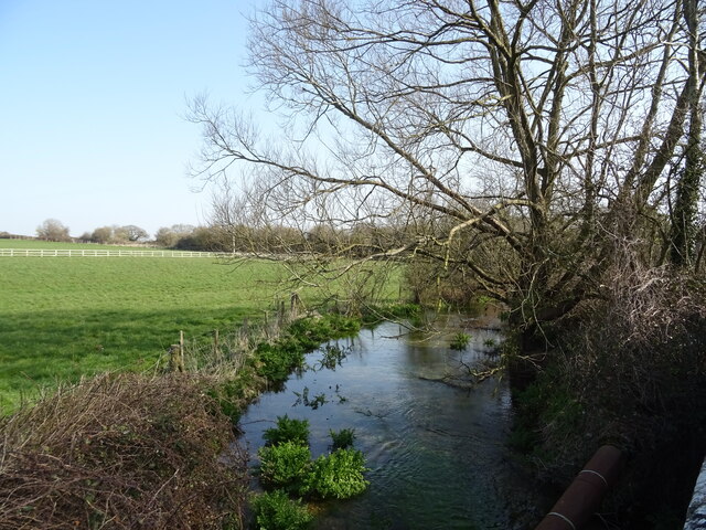
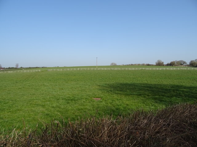
Wareham's Plantation is a historical woodland located in the county of Dorset, England. Covering an area of approximately 100 acres, it is situated near the town of Wareham. The plantation is known for its dense and diverse forest, which mainly consists of deciduous trees such as oak, beech, and ash.

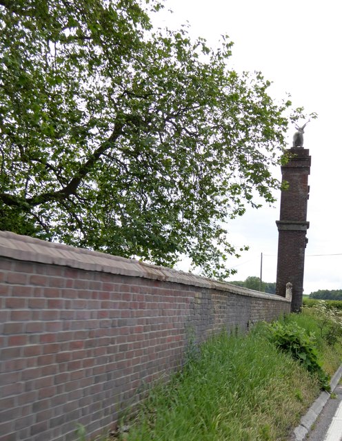
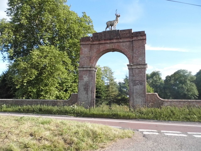
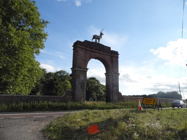
The woodland has a rich history, dating back to medieval times when it served as a hunting ground for the local lords and monarchs. It was designated as a plantation in the 17th century, primarily for timber production, providing a steady supply of wood for various industries such as shipbuilding and construction. The area's fertile soil and favorable climate have contributed to the flourishing growth of the plantation.

Wareham's Plantation is home to a wide range of flora and fauna, making it a haven for nature enthusiasts and wildlife lovers. The dense canopy provides a habitat for numerous bird species, including woodpeckers, owls, and warblers. Small mammals such as squirrels, foxes, and badgers also inhabit the woodland, while various reptiles and amphibians can be found near its streams and ponds.

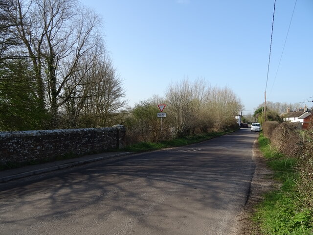
The plantation offers a tranquil escape for visitors, with well-maintained footpaths and trails crisscrossing the area. It is a popular destination for walking, jogging, and picnicking, attracting locals and tourists alike. The natural beauty of Wareham's Plantation, combined with its historical significance, makes it an important landmark in Dorset's landscape.

If you have any feedback on the listing, please let us know in the comments section below.

Wareham's Plantation Images

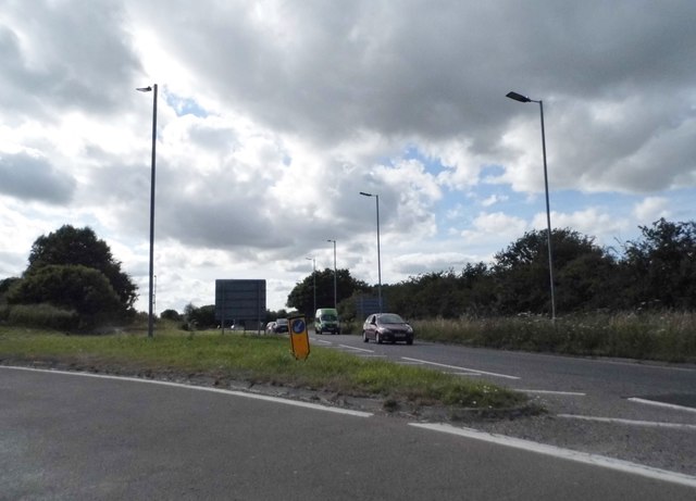
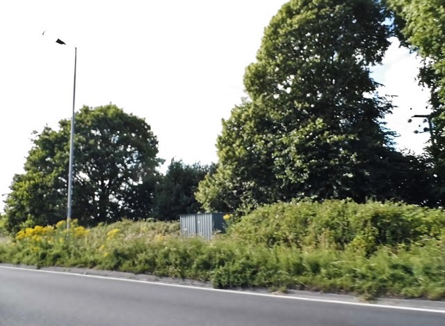
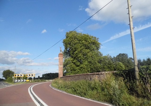
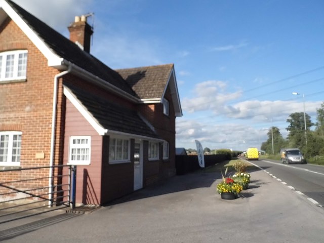
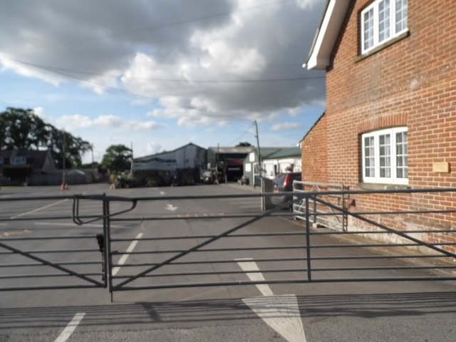
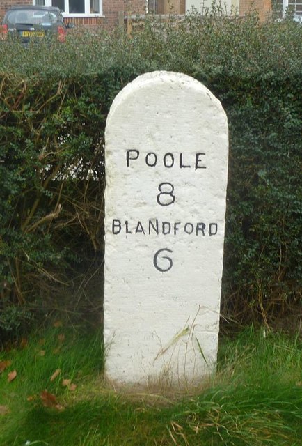
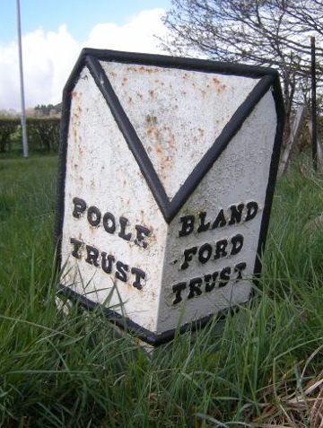
Images are sourced within 2km of 50.783054/-2.0863047 or Grid Reference SY9498. Thanks to Geograph Open Source API. All images are credited.

The eastern end of Charborough Park wall The famous wall of the deer park, beside the A31, one of the longest brick walls in England
The eastern end of Charborough Park wall
The famous wall of the deer park, beside the A31, one of the longest brick walls in England
Drax wall and Stag Gate, Charborough Park Part of the long wall around the deer park, and a rear view of the stag on the top of the gateway
Drax wall and Stag Gate, Charborough Park
Part of the long wall around the deer park, and a rear view of the stag on the top of the gateway
Stag Gate, Charborough Park Here is the Charborough Park website summary <span class="nowrap"><a title="http://www.waymarking.com/waymarks/WM9XB5_The_Stag_on_The_Stag_Gate_Charborough_Park_Dorset_UK" rel="nofollow ugc noopener" href="http://www.waymarking.com/waymarks/WM9XB5_The_Stag_on_The_Stag_Gate_Charborough_Park_Dorset_UK">Link</a><img style="margin-left:2px;" alt="External link" title="External link - shift click to open in new window" src="https://s1.geograph.org.uk/img/external.png" width="10" height="10"/></span>
Stag Gate, Charborough Park
Here is the Charborough Park website summary LinkExternal link
Stag Gate, Charborough Park
Roundabout on the A31, Sturminster Marshall
Woodland by the A31, Sturminster Marshall
The A31 at Stag Gate
The entrance to Vines Close Farm
Vines Close Farm
Vines Close Farm
Old Milestone by the A350, south east of Sturminster Marshall Carved stone post by the A350, in parish of STURMINSTER MARSHALL (EAST DORSET District), Blandford Road, 160m North of cross-roads with Station Road, in front of Burton Lux, against hedge by a row of bungalows, on West side of road. Dorset 3 (limestone), erected by the Blandford & Poole turnpike trust in the 19th century. 

Inscription reads:-
POOLE
8
BLANDFORD
6   

Milestone Society National ID: DO_POBF08.
Old Milestone by the A350, south east of Sturminster Marshall
Carved stone post by the A350, in parish of STURMINSTER MARSHALL (EAST DORSET District), Blandford Road, 160m North of cross-roads with Station Road, in front of Burton Lux, against hedge by a row of bungalows, on West side of road. Dorset 3 (limestone), erected by the Blandford & Poole turnpike trust in the 19th century. Inscription reads:- POOLE 8 BLANDFORD 6 Milestone Society National ID: DO_POBF08.
Old Boundary Marker by the A31, Poole Road, Sturminster Marshall parish Turnpike Terminus Marker by the A350, in parish of Sturminster Marshall (East Dorset District), 500m south of Sturminster Marshall, centre of the roundabout where the A350 crosses the A31.

Inscription reads:-
: POOLE / TRUST : : BLAND- / -FORD / TRUST :

Surveyed

Milestone Society National ID: DO_POBF06t
Old Boundary Marker by the A31, Poole Road, Sturminster Marshall parish
Turnpike Terminus Marker by the A350, in parish of Sturminster Marshall (East Dorset District), 500m south of Sturminster Marshall, centre of the roundabout where the A350 crosses the A31. Inscription reads:- : POOLE / TRUST : : BLAND- / -FORD / TRUST : Surveyed Milestone Society National ID: DO_POBF06t
Stag Gate, Charborough Park
The River Winterborne
Grazing, Newton Peveril
Bridge on Newton Road
The Golden Fox
The Golden Fox
Sign for the Golden Fox
Grassland, Newton Peveril
Show me another place!

Wareham's Plantation is located at Grid Ref: SY9498 (Lat: 50.783054, Lng: -2.0863047)

Unitary Authority: Dorset

Police Authority: Dorset

What 3 Words

///tube.megawatt.safely. Near Sturminster Marshall, Dorset

Related Wikis

Charborough House

Charborough House, also known as Charborough Park, is a Grade I listed building, the manor house of the ancient manor of Charborough. The house is between...

Bailey Gate railway station

Bailey Gate railway station was on the Somerset & Dorset Joint Railway in the English county of Dorset. == Usage == The station served the United Dairies...

Sturminster Marshall

Sturminster Marshall is a village and civil parish in the east of Dorset in England, situated on the River Stour between Blandford Forum and Poole. The...

St Mary the Virgin, Lytchett Matravers

St Mary the Virgin is the Church of England parish church of Lytchett Matravers in Dorset. Its parish is part of the Diocese of Salisbury. The building...

Nearby Amenities

Located within 500m of 50.783054,-2.0863047
Power: pole
Source: bing
Voltage: 11000
Lat/Long: 50.7831956/-2.0800477
Power: pole
Source: bing
Voltage: 11000
Lat/Long: 50.7828564/-2.0813218
Power: pole
Source: bing
Voltage: 11000
Lat/Long: 50.7825427/-2.0825221
Power: pole
Source: bing
Voltage: 11000
Lat/Long: 50.781074/-2.0828614
Power: pole
Source: bing
Voltage: 11000
Lat/Long: 50.7799038/-2.0838833
Power: pole
Source: bing
Voltage: 11000
Lat/Long: 50.7791966/-2.0836285
West Wood
Ele: 85
Natural: peak
Lat/Long: 50.7802148/-2.0847229
Power: pole
Source: bing
Transformer: distribution
Lat/Long: 50.7792848/-2.0900846
Power: pole
Source: bing
Lat/Long: 50.7790966/-2.0871435
Power: pole
Source: bing
Lat/Long: 50.7786751/-2.0871127
The data included in this document is from www.openstreetmap.org. The data is made available under ODbL.

Have you been to Wareham's Plantation?

Leave your review of Wareham's Plantation below (or comments, questions and feedback).