Birch Wood
Wood, Forest in Staffordshire Staffordshire Moorlands
England
Birch Wood
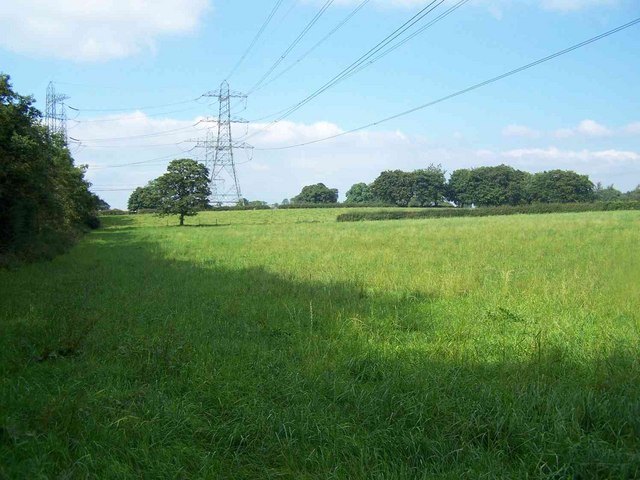
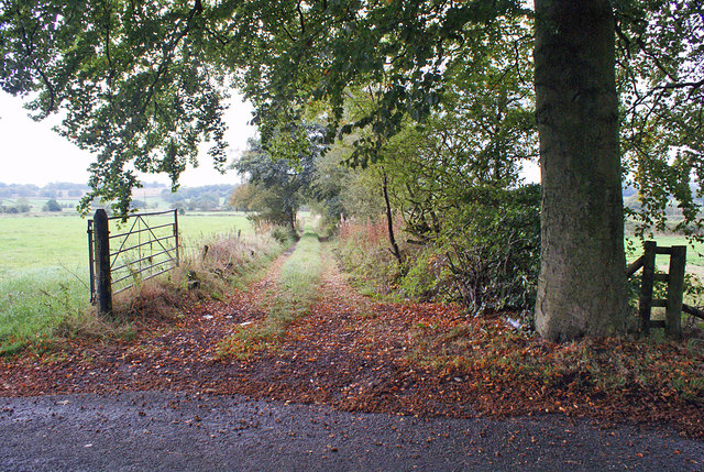
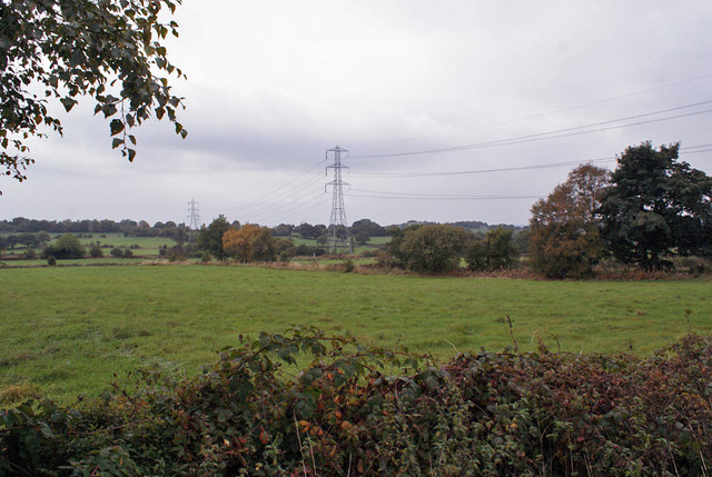
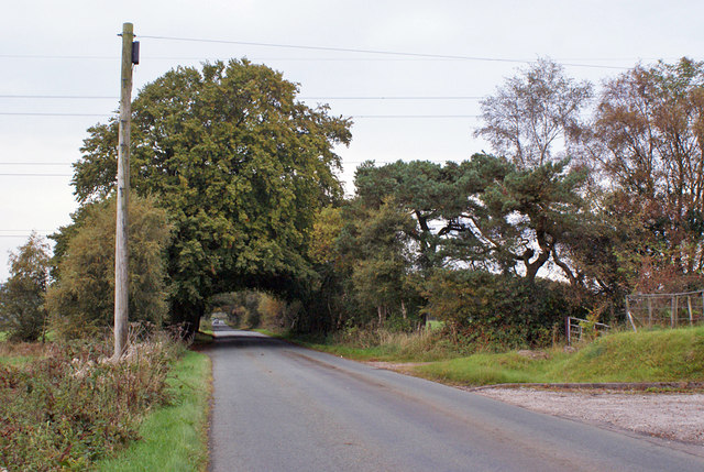
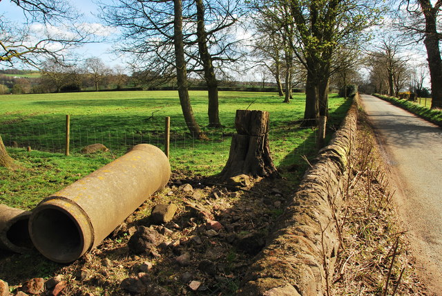
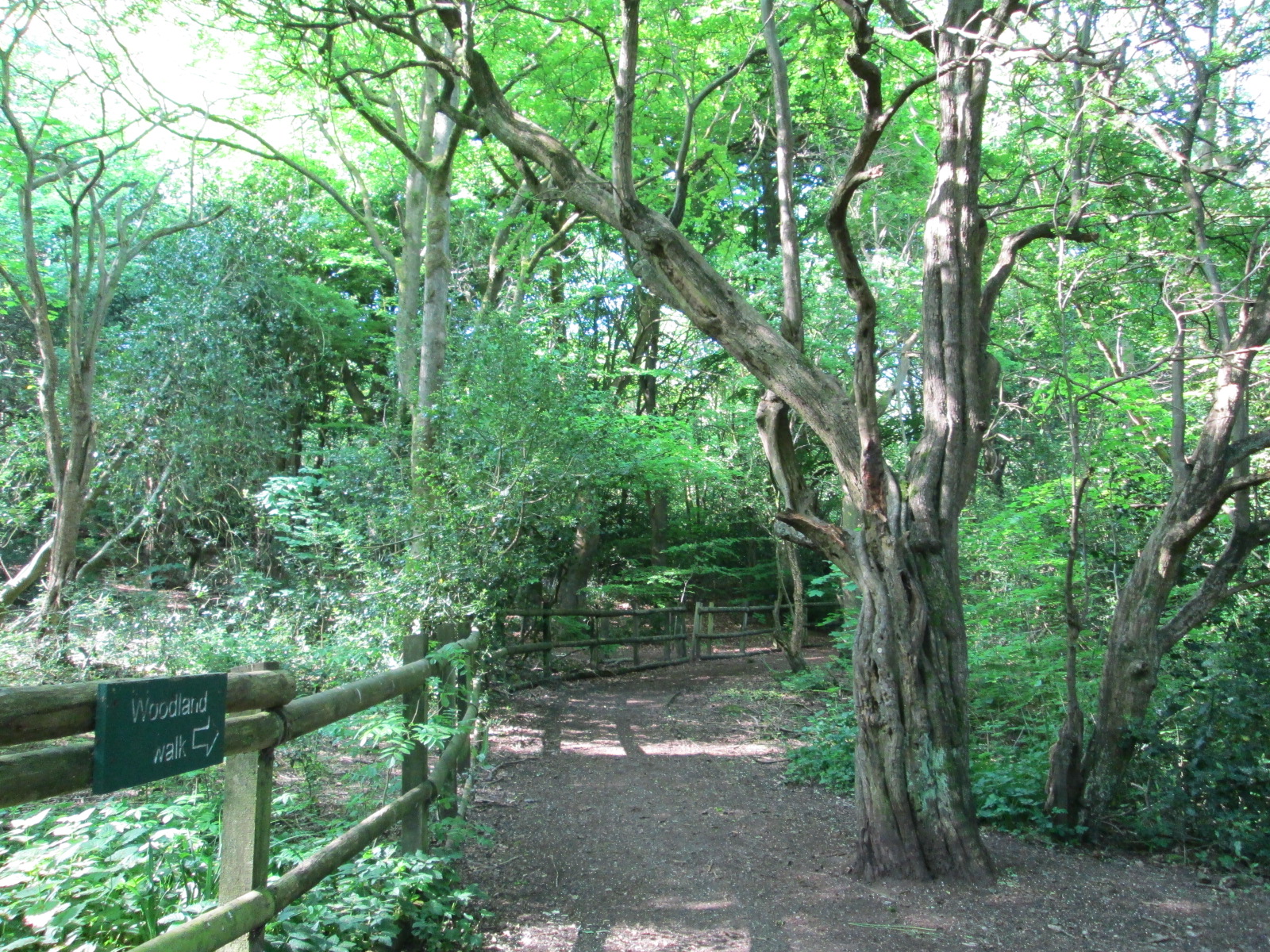
Birch Wood is a scenic forest located in the county of Staffordshire, England. It covers an area of approximately 200 acres, making it a significant natural attraction in the region. The wood is named after the abundance of birch trees that populate the area, creating a picturesque landscape.
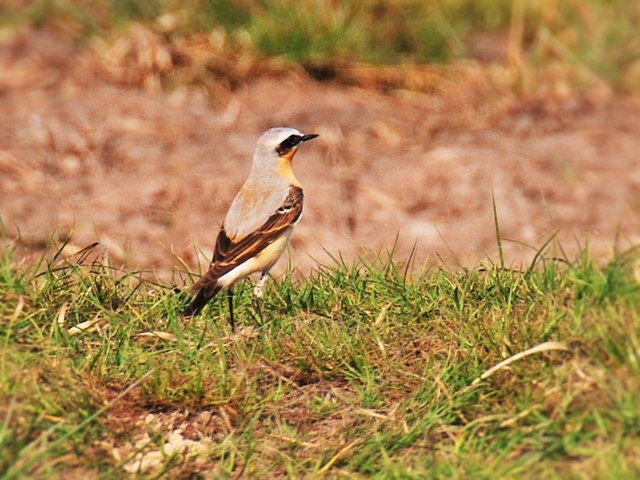
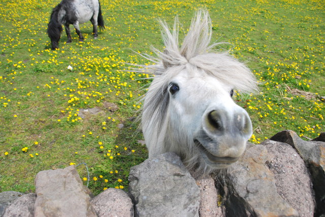
The forest is home to a diverse range of flora and fauna, making it an ideal destination for nature enthusiasts and wildlife lovers. Visitors can expect to encounter various species of birds, including woodpeckers, thrushes, and owls, as well as small mammals such as squirrels and rabbits. The tranquil atmosphere and the soothing sound of leaves rustling in the wind make Birch Wood a perfect place for a peaceful stroll or a relaxing picnic.
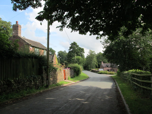
The wood is well-maintained, and there are several walking trails that meander through the forest, allowing visitors to explore its beauty at their own pace. These trails are suitable for all levels of fitness and offer a chance to immerse oneself in the natural surroundings. Along the paths, there are informative signposts that provide interesting facts about the local flora and fauna, enhancing the educational experience.
Birch Wood is also a popular spot for outdoor activities such as jogging, cycling, and horse riding. The forest is equipped with designated tracks for these activities, ensuring the safety of both visitors and wildlife. Additionally, there are picnic areas and benches strategically placed throughout the wood, providing ample opportunities for relaxation and enjoying the scenery.
Overall, Birch Wood in Staffordshire offers a serene escape from the hustle and bustle of everyday life, allowing visitors to connect with nature and appreciate the beauty of Staffordshire's woodlands.
If you have any feedback on the listing, please let us know in the comments section below.
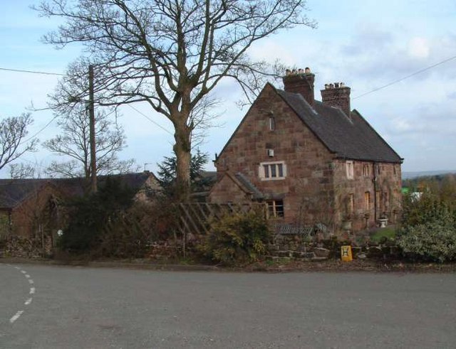
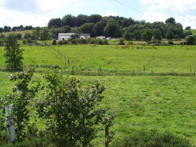
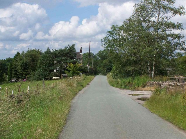
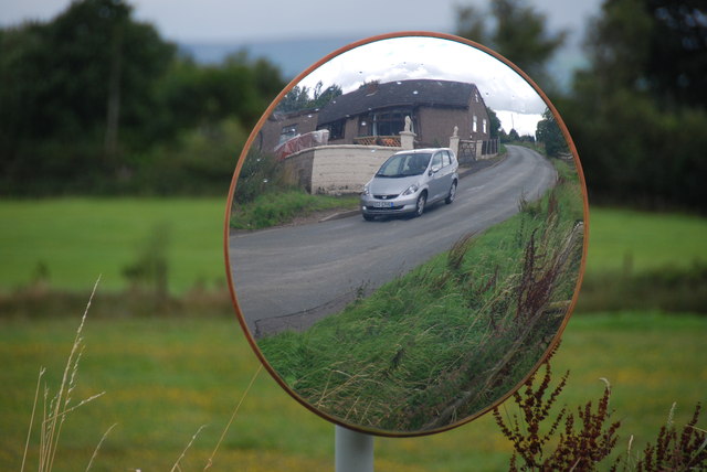
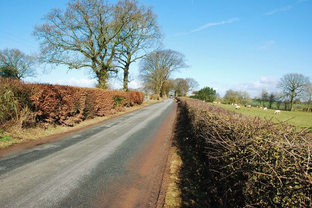
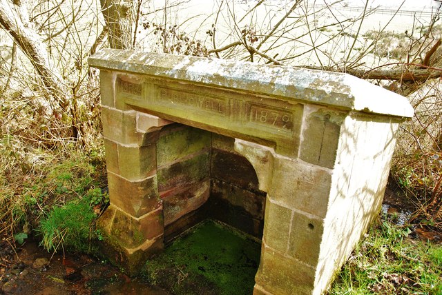
Birch Wood Images
Images are sourced within 2km of 53.051041/-2.0908395 or Grid Reference SJ9450. Thanks to Geograph Open Source API. All images are credited.
Birch Wood is located at Grid Ref: SJ9450 (Lat: 53.051041, Lng: -2.0908395)
Administrative County: Staffordshire
District: Staffordshire Moorlands
Police Authority: Staffordshire
What 3 Words
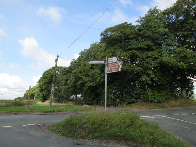
///education.firmer.flies. Near Cheddleton, Staffordshire
Nearby Locations
Related Wikis

Bagnall, Staffordshire
Bagnall is a village and civil parish in Staffordshire, England, north-east of Stoke-on-Trent. Although Bagnall is located only a few short miles from...
Stanley, Staffordshire
Stanley is a small village in the Staffordshire Moorlands district of Staffordshire, England, about 4 miles (6.4 km) southwest of Leek. The village of...
Stockton Brook railway station
Stockton Brook railway station is a disused railway station in Staffordshire. == History == The Stoke–Leek line was opened by the North Staffordshire Railway...

Endon and Stanley
Endon and Stanley is a civil parish in Staffordshire, England, containing the villages Endon and Stanley. The civil parish (replacing a civil parish containing...
Bagnall Road Wood
Bagnall Road Wood is a local nature reserve near Milton, on the eastern fringe of Stoke-on-Trent, England. == History and description == The site was a...
Wetley Rocks
Wetley Rocks is a village in Staffordshire, England, about 2 miles (3.2 km) south of Cheddleton and 6 miles (9.7 km) south of Leek. For population details...

Baddeley Edge
Baddeley Edge is a hamlet in the north of the city of Stoke-on-Trent, in the north of the county of Staffordshire. == Electoral Boundaries == It was formerly...

Endon railway station
Endon railway station is a disused railway station in Staffordshire. The Stoke–Leek line was opened by the North Staffordshire Railway (NSR) in 1867 and...
Nearby Amenities
Located within 500m of 53.051041,-2.0908395Have you been to Birch Wood?
Leave your review of Birch Wood below (or comments, questions and feedback).