Westwood Hill
Hill, Mountain in Staffordshire Staffordshire Moorlands
England
Westwood Hill
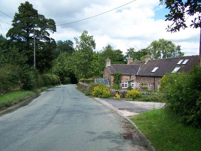
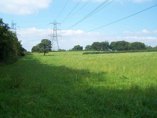
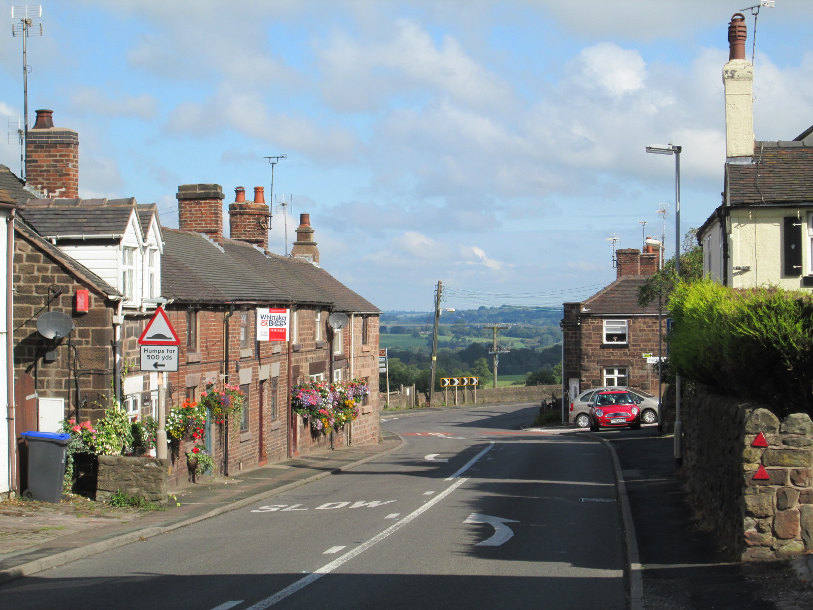
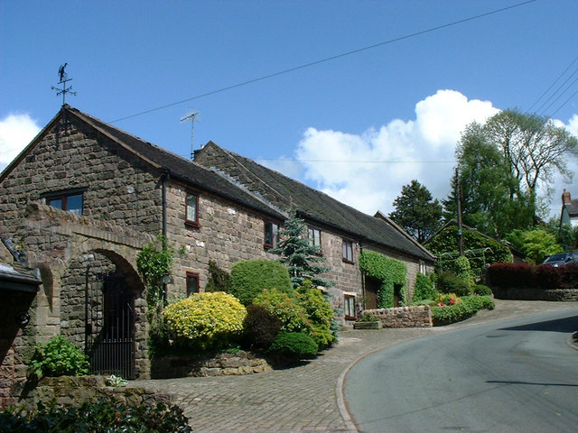
Westwood Hill is a prominent geographical feature located in Staffordshire, England. It is classified as a hill rather than a mountain, standing at an elevation of approximately 300 meters (984 feet) above sea level. The hill is situated in the southern part of Staffordshire, near the village of Leek, and is part of the larger Peak District National Park.
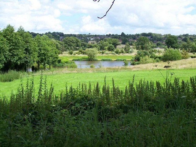
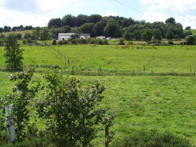
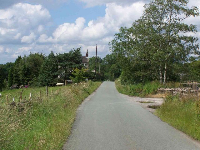
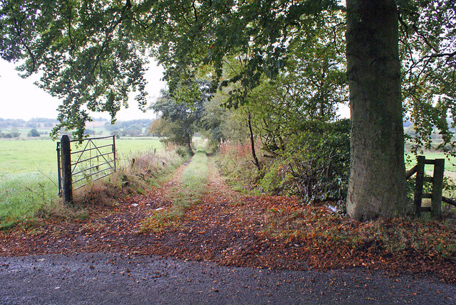
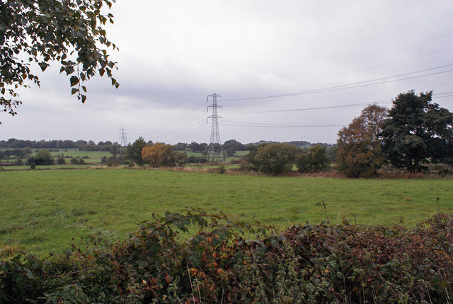
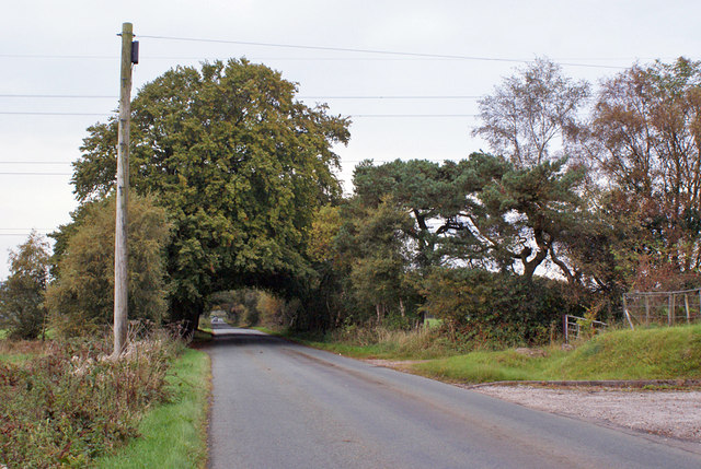
Westwood Hill offers breathtaking panoramic views of the surrounding landscape, including the rolling hills and valleys of Staffordshire, as well as glimpses of nearby reservoirs and lakes. Its elevated position makes it a popular destination for hikers, walkers, and nature enthusiasts who seek to explore the diverse flora and fauna of the area.
The hill itself is characterized by its gentle slopes and grassy terrain, making it relatively accessible for visitors of all ages and abilities. It is often frequented by locals and tourists alike, who come to enjoy picnics, observe wildlife, or simply take in the tranquility of the countryside.
Aside from its natural beauty, Westwood Hill is also of historical significance. It is believed to have been settled by humans as far back as the Neolithic period, with archaeological evidence suggesting the presence of ancient burial mounds and earthworks. These remnants of the past provide a glimpse into the rich history of the area and add an additional layer of intrigue for those exploring the hill.
Overall, Westwood Hill in Staffordshire offers a combination of stunning vistas, recreational opportunities, and historical interest, making it a cherished destination for both locals and visitors to the region.
If you have any feedback on the listing, please let us know in the comments section below.
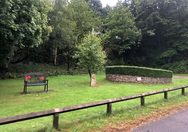
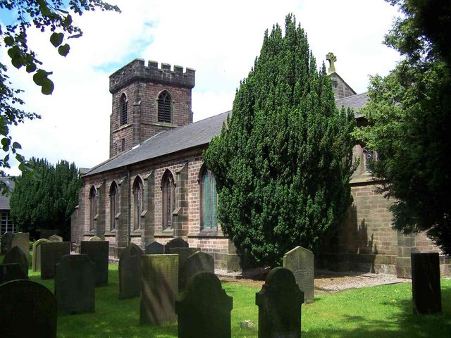
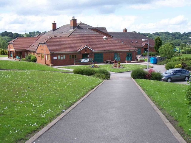
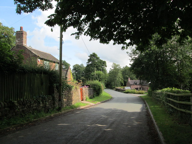
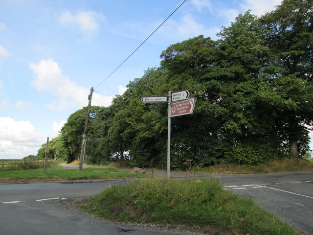
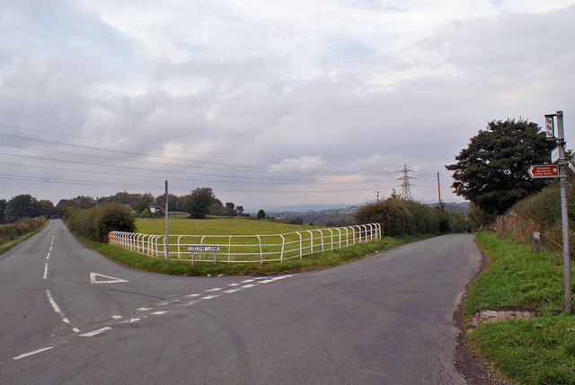
Westwood Hill Images
Images are sourced within 2km of 53.051301/-2.0783536 or Grid Reference SJ9450. Thanks to Geograph Open Source API. All images are credited.


Westwood Hill is located at Grid Ref: SJ9450 (Lat: 53.051301, Lng: -2.0783536)
Administrative County: Staffordshire
District: Staffordshire Moorlands
Police Authority: Staffordshire
What 3 Words
///swerves.reset.baseballs. Near Cheddleton, Staffordshire
Nearby Locations
Related Wikis

Bagnall, Staffordshire
Bagnall is a village and civil parish in Staffordshire, England, north-east of Stoke-on-Trent. Although Bagnall is located only a few short miles from...
Wetley Rocks
Wetley Rocks is a village in Staffordshire, England, about 2 miles (3.2 km) south of Cheddleton and 6 miles (9.7 km) south of Leek. For population details...
Stanley, Staffordshire
Stanley is a small village in the Staffordshire Moorlands district of Staffordshire, England, about 4 miles (6.4 km) southwest of Leek. The village of...

Ashcombe Park, Staffordshire
Ashcombe Park is a country house and estate near Cheddleton, in Staffordshire, England. The house is a Grade II* listed building, listed on 2 May 1953...

Cheddleton
Cheddleton is an ancient parish and village in the Staffordshire Moorlands, near to the town of Leek, England. == History == The village is divided into...

Moorside High School, Werrington
Moorside High School is a coeducational secondary school located in Werrington, Staffordshire. == History == The school was opened in 1939 under the name...

Werrington, Staffordshire
Werrington is a village in the Staffordshire Moorlands district of Staffordshire, England, about 5 miles (8 km) east of Stoke-on-Trent city centre. The...

Deep Hayes Country Park
Deep Hayes Country Park is a country park in Staffordshire, England. It is about 3 miles (4.8 km) south-west of Leek, a short distance south of the A53...
Nearby Amenities
Located within 500m of 53.051301,-2.0783536Have you been to Westwood Hill?
Leave your review of Westwood Hill below (or comments, questions and feedback).