Common

Downs, Moorland in Gloucestershire Cotswold

England

Common

Crossroad and woodland Crossroad and woodland near Longdole Polo Club
Crossroad and woodland Credit: P Gaskell

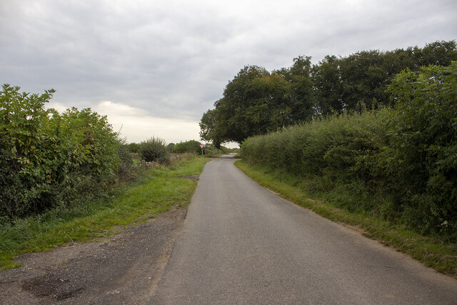
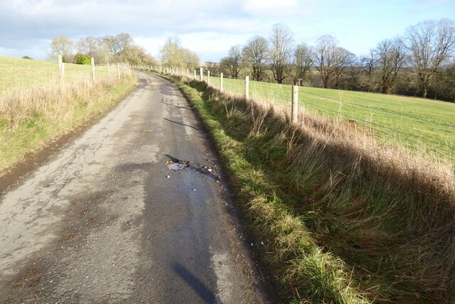
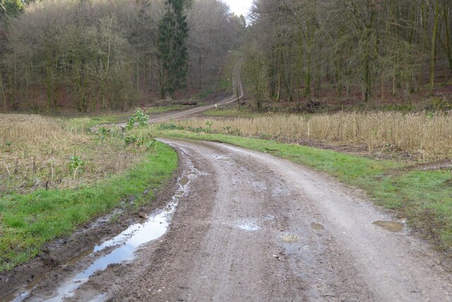
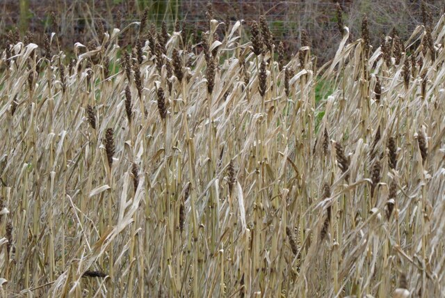
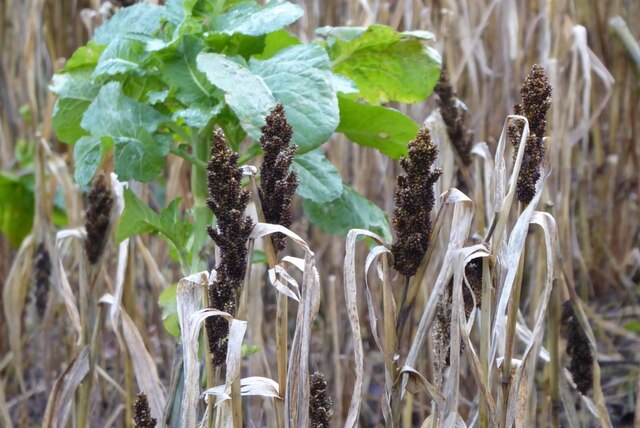
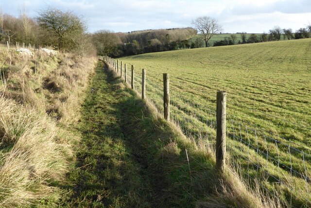
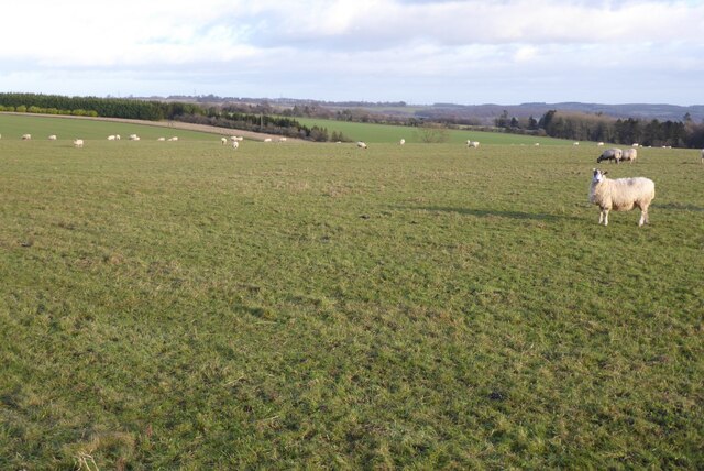
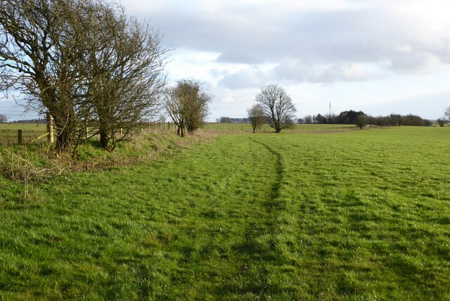
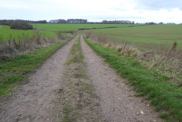
Common, Gloucestershire, located in the southwestern part of England, is a picturesque region renowned for its breathtaking Downs and Moorland landscapes. Spanning approximately 100 square miles, this area is characterized by rolling hills, heathlands, and vast expanses of open grasslands. The Downs, with their gently sloping hills, offer stunning panoramic views of the surrounding countryside, while the Moorland is known for its rugged beauty, rocky outcrops, and diverse wildlife.

The climate in Common, Gloucestershire, tends to be mild, with cool summers and relatively mild winters. The region experiences a significant amount of rainfall throughout the year, contributing to the lush greenery that blankets the landscape. This makes Common an ideal destination for nature enthusiasts, hikers, and outdoor adventurers.

The area is home to a variety of plant and animal species, including heather, gorse, and bracken, which thrive in the acidic soil found in the Moorland. Birdwatchers flock to the region to catch sight of rare species such as the Dartford Warbler and the Stonechat. Additionally, the Downs provide a habitat for grazing animals like sheep and cattle, adding to the pastoral charm of the area.

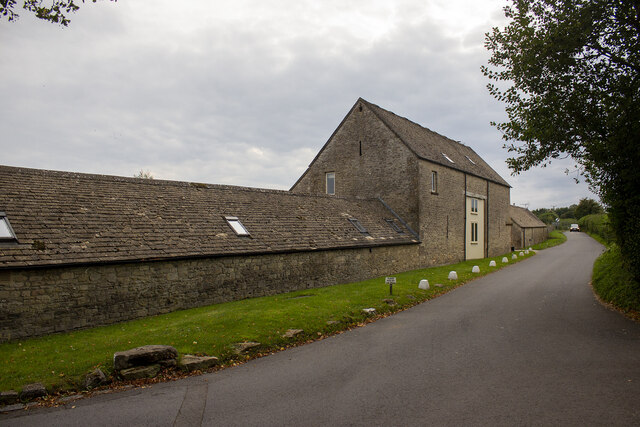
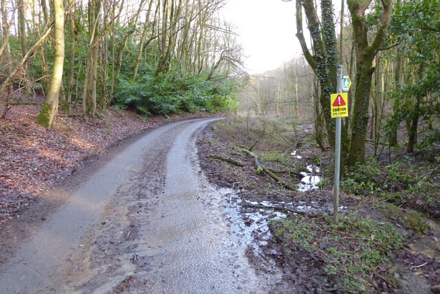
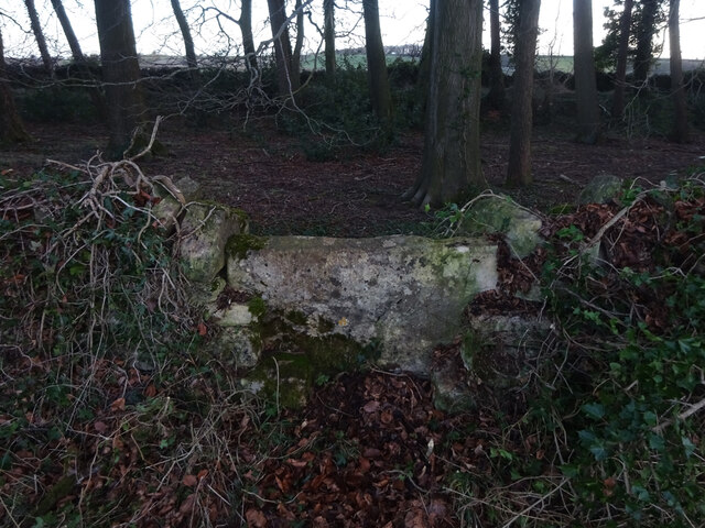
As a popular tourist destination, Common offers a range of activities for visitors to enjoy. Walking trails crisscross the countryside, providing opportunities for leisurely strolls or more challenging hikes. The region also boasts several historic landmarks and picturesque villages, such as Painswick and Minchinhampton, where visitors can immerse themselves in the local culture and sample traditional English cuisine.

In summary, Common, Gloucestershire, with its Downs and Moorland landscapes, offers visitors a captivating blend of natural beauty, wildlife, and cultural experiences. Whether exploring the rolling hills or discovering charming villages, this idyllic region is a treasure trove for those seeking tranquility and a connection with nature.

If you have any feedback on the listing, please let us know in the comments section below.

Common Images

Images are sourced within 2km of 51.816545/-2.0813945 or Grid Reference SO9413. Thanks to Geograph Open Source API. All images are credited.

Crossroad and woodland Crossroad and woodland near Longdole Polo Club
Crossroad and woodland
Crossroad and woodland near Longdole Polo Club
Converted vernacular farm buildings
Brimsfield Park Farm
Watercombe Farm
Watercombe Farm
Country road to Cowley Country road to the south of Cowley.
Country road to Cowley
Country road to the south of Cowley.
Track into Cowley Track into Cowley Wood in Harcombe Bottom south of the village of Cowley.
Track into Cowley
Track into Cowley Wood in Harcombe Bottom south of the village of Cowley.
Game cover in Harcombe Bottom
Game cover crop Game cover crop in Harcombe Bottom.
Game cover crop
Game cover crop in Harcombe Bottom.
Road entering Harcombe Bottom
Bridleway to Barcombe Bottom A similar view to this picture <a href="https://www.geograph.org.uk/photo/1155031">SO9513 : Snow covered farmland, near Cowley</a> I took in February 2009 after a fall of snow.
Bridleway to Barcombe Bottom
A similar view to this picture SO9513 : Snow covered farmland, near Cowley I took in February 2009 after a fall of snow.
Farmland above Cowley Sheep grazing on farmland above Cowley.
Farmland above Cowley
Sheep grazing on farmland above Cowley.
Farmland near Stockwell A public right of way follows the field boundary on the left.
Farmland near Stockwell
A public right of way follows the field boundary on the left.
Track and footpath Track and footpath to Barrow Wake.
Track and footpath
Track and footpath to Barrow Wake.
Stone Stile, Elkstone Not on a registered footpath, this affords access to the woodland and the well trodden path leads to the private house "Highgate". This is the view from the woodland, the alternative view from the road is <a href="https://www.geograph.org.uk/photo/7104422">SO9512 : Stone Stile, Elkstone</a>.
Stone Stile, Elkstone
Not on a registered footpath, this affords access to the woodland and the well trodden path leads to the private house "Highgate". This is the view from the woodland, the alternative view from the road is SO9512 : Stone Stile, Elkstone.
Stone Stile, Elkstone Not on a registered footpath, this affords access to the woodland and the well trodden path leads to the private house "Highgate" to the West. This is the view from the road, the alternative view from the woodland is <a href="https://www.geograph.org.uk/photo/7104421">SO9512 : Stone Stile, Elkstone</a>.
Stone Stile, Elkstone
Not on a registered footpath, this affords access to the woodland and the well trodden path leads to the private house "Highgate" to the West. This is the view from the road, the alternative view from the woodland is SO9512 : Stone Stile, Elkstone.
Toll House, Birdlip The Old Pyke House, on the original part of the Ermin Way. Used by the Cirencester (Gloucester District) Turnpike Trust.

Milestone Society National ID: GL.BRI
Toll House, Birdlip
The Old Pyke House, on the original part of the Ermin Way. Used by the Cirencester (Gloucester District) Turnpike Trust. Milestone Society National ID: GL.BRI
Path to Coldwell Bottom and Coberley Heading north, down hill along an old road as described in <a href="https://www.geograph.org.uk/photo/1548361">SO9414 : Old road to Coberley circa 1700s</a> in 2009.
Path to Coldwell Bottom and Coberley
Heading north, down hill along an old road as described in SO9414 : Old road to Coberley circa 1700s in 2009.
Path from Coldwell Bottom and Coberley Reverse view of <a href="https://www.geograph.org.uk/photo/7257558">SO9414 : Path to Coldwell Bottom and Coberley</a>.
Path from Coldwell Bottom and Coberley
Show me another place!

Common is located at Grid Ref: SO9413 (Lat: 51.816545, Lng: -2.0813945)

Administrative County: Gloucestershire

District: Cotswold

Police Authority: Gloucestershire

What 3 Words

///shed.shells.durations. Near Shurdington, Gloucestershire

Related Wikis

Bushley Muzzard, Brimpsfield

Bushley Muzzard, Brimpsfield (grid reference SO944133) is a 1.13-hectare (2.8-acre) biological Site of Special Scientific Interest in Gloucestershire,...

Church of St Michael, Brimpsfield

The Anglican Church of St Michael at Brimpsfield in the Cotswold District of Gloucestershire, England was built in 12th century. It is a grade I listed...

Brimpsfield Priory

Brimpsfield Priory was a Benedictine monastic foundation in Brimpsfield, Gloucestershire, England, a cell or grange of the Abbey of Saint-Wandrille in...

Brimpsfield

Brimpsfield is a village in Gloucestershire, England. The village is recorded in Domesday Book as Brimesfelde. Brimpsfield Castle was built in the village...

Birdlip

Birdlip is a village and civil parish, in the Cotswold district, in the county of Gloucestershire, England. It is in the Cotswolds Area of Outstanding...

Church of St Mary the Virgin, Syde

The Anglican Church of St Mary the Virgin at Syde in the Cotswold District of Gloucestershire, England was built in the early 12th century. It is a grade...

Syde

Syde, often in the past spelt Side, is a small village and civil parish in Gloucestershire, England. It lies in the Cotswolds, near the source of the River...

Church of St John the Evangelist, Elkstone

The Anglican Church of St John the Evangelist at Elkstone in the Cotswold District of Gloucestershire, England was built in the 12th century. It is a grade...

Nearby Amenities

Located within 500m of 51.816545,-2.0813945
Archaeological Site: tumulus
Historic: archaeological_site
Source: NPE
Lat/Long: 51.8207325/-2.0813668
Watercombe
Is In: Gloucestershire, England, UK
Place: hamlet
Source: NPE
Lat/Long: 51.8175628/-2.0822679
Barrier: stile
Lat/Long: 51.8145843/-2.0868611
Grit Bin
Lat/Long: 51.8196676/-2.0762345
Grit Bin
Lat/Long: 51.8193087/-2.0763961
The data included in this document is from www.openstreetmap.org. The data is made available under ODbL.

Have you been to Common?

Leave your review of Common below (or comments, questions and feedback).