Coronation Plantation

Wood, Forest in Gloucestershire Stroud

England

Coronation Plantation

Stone Stile, Caudle Green Looking SW towards the village.
Stone Stile, Caudle Green Credit: Malcolm Christie

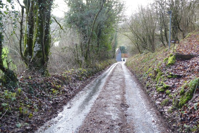
Coronation Plantation is a picturesque woodland area located in Gloucestershire, England. Covering a vast area of approximately 500 acres, this woodland is part of the larger Forest of Dean, a renowned ancient forest in the region. The plantation is situated near the village of Christchurch, offering visitors a tranquil and idyllic natural environment.

Characterized by its dense canopy of trees, Coronation Plantation is predominantly composed of a mix of deciduous and evergreen species. Oak, beech, and birch are among the most common trees found in this woodland, alongside conifers such as pine and spruce. The diverse vegetation creates a rich and varied habitat for numerous wildlife species.

Visitors to Coronation Plantation can enjoy a range of outdoor activities, including walking, cycling, and horseback riding. The woodland is crisscrossed by a network of well-maintained trails, providing opportunities for exploration and discovery. These trails offer breathtaking views of the surrounding countryside and are suitable for individuals of all fitness levels.

In addition to its natural beauty, Coronation Plantation also holds historical significance. The plantation was established in 1953 to commemorate the coronation of Queen Elizabeth II, hence its name. This regal connection adds an extra layer of charm and interest to the woodland.

Overall, Coronation Plantation is a captivating destination for nature enthusiasts and those seeking a peaceful retreat. Its lush vegetation, diverse wildlife, and recreational opportunities make it a popular choice for both locals and tourists looking to immerse themselves in the beauty of Gloucestershire's woodlands.

If you have any feedback on the listing, please let us know in the comments section below.

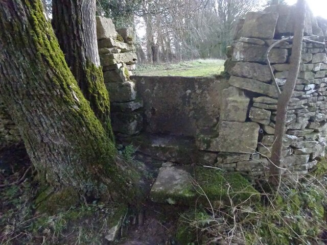
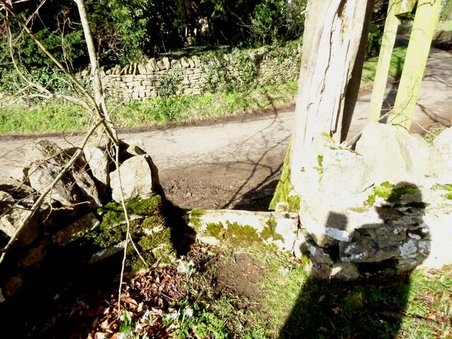
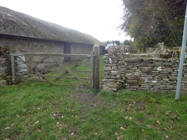
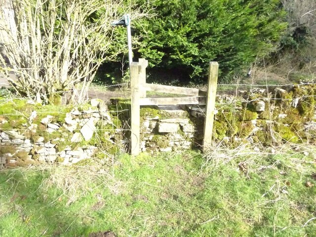
Coronation Plantation Images

Images are sourced within 2km of 51.777174/-2.0806277 or Grid Reference SO9408. Thanks to Geograph Open Source API. All images are credited.

Stone Stile, Caudle Green Looking SW towards the village.
Stone Stile, Caudle Green
Looking SW towards the village.
Stone Stile, Caudle Green A step stile on the Northern side of the road approaching the village. On Gloucestershire footpath BBR28. The view from the road side is <a href="https://www.geograph.org.uk/photo/7061298">SO9410 : Stone Stile, Caudle Green</a>.
Stone Stile, Caudle Green
A step stile on the Northern side of the road approaching the village. On Gloucestershire footpath BBR28. The view from the road side is SO9410 : Stone Stile, Caudle Green.
Stone Stile, Caudle Green A step stile on the Northern side of the road approaching the village. On Gloucestershire footpath BBR28. The view from the appreciable drop on the other side is <a href="https://www.geograph.org.uk/photo/7061296">SO9410 : Stone Stile, Caudle Green</a>.
Stone Stile, Caudle Green
A step stile on the Northern side of the road approaching the village. On Gloucestershire footpath BBR28. The view from the appreciable drop on the other side is SO9410 : Stone Stile, Caudle Green.
Stone Stile, Syde On Gloucestershire footpath BSY8 just South of the Manor House in Syde. This view is looking from the road, the view looking North is <a href="https://www.geograph.org.uk/photo/7104847">SO9410 : Stone Stile, Syde</a>.
Stone Stile, Syde
On Gloucestershire footpath BSY8 just South of the Manor House in Syde. This view is looking from the road, the view looking North is SO9410 : Stone Stile, Syde.
Stone Stile, Syde On Gloucestershire footpath BSY8 just South of the Manor House in Syde. This view is looking to the road, the view looking South is <a href="https://www.geograph.org.uk/photo/7104846">SO9410 : Stone Stile, Syde</a>.
Stone Stile, Syde
On Gloucestershire footpath BSY8 just South of the Manor House in Syde. This view is looking to the road, the view looking South is SO9410 : Stone Stile, Syde.
Stone Stile, Caudle Green Looking into a field at the junction of Gloucestershire footpaths MMN23 & BBR38 where the paths transition from woodland to a field sparsely populated with "meadow flowers". The soil in the field is heavily laden with stones. The view towards the woodland is <a href="https://www.geograph.org.uk/photo/7104960">SO9310 : Stone Stile, Caudle Green</a>.
Stone Stile, Caudle Green
Looking into a field at the junction of Gloucestershire footpaths MMN23 & BBR38 where the paths transition from woodland to a field sparsely populated with "meadow flowers". The soil in the field is heavily laden with stones. The view towards the woodland is SO9310 : Stone Stile, Caudle Green.
Stone Stile, Caudle Green Looking from a field at the junction of Gloucestershire footpaths MMN23 & BBR38 where the paths transition from woodland to a field sparsely populated with "meadow flowers". The soil in the field is heavily laden with stones. The view from the woodland is <a href="https://www.geograph.org.uk/photo/7104958">SO9310 : Stone Stile, Caudle Green</a>.
Stone Stile, Caudle Green
Looking from a field at the junction of Gloucestershire footpaths MMN23 & BBR38 where the paths transition from woodland to a field sparsely populated with "meadow flowers". The soil in the field is heavily laden with stones. The view from the woodland is SO9310 : Stone Stile, Caudle Green.
Stone Stile, Caudle Green Due South of the village green at the junction of Gloucestershire footpaths MMN23 & BBR25 in woodland. This point is also on the boundaries of: county constituency, civil parishes of Miserden and Brimsfield, and the county district. This is the view looking NE, the view SW is <a href="https://www.geograph.org.uk/photo/7104970">SO9410 : Stone Stile, Caudle Green</a>.
Stone Stile, Caudle Green
Due South of the village green at the junction of Gloucestershire footpaths MMN23 & BBR25 in woodland. This point is also on the boundaries of: county constituency, civil parishes of Miserden and Brimsfield, and the county district. This is the view looking NE, the view SW is SO9410 : Stone Stile, Caudle Green.
Stone Stile, Caudle Green Due South of the village green at the junction of Gloucestershire footpaths MMN23 & BBR25 in woodland. This point is also on the boundaries of: county constituency, civil parishes of Miserden and Brimsfield, and the county district. This is the view looking SW, the view NE is <a href="https://www.geograph.org.uk/photo/7104969">SO9410 : Stone Stile, Caudle Green</a>.
Stone Stile, Caudle Green
Due South of the village green at the junction of Gloucestershire footpaths MMN23 & BBR25 in woodland. This point is also on the boundaries of: county constituency, civil parishes of Miserden and Brimsfield, and the county district. This is the view looking SW, the view NE is SO9410 : Stone Stile, Caudle Green.
Stone Stile, Caudle Green From a small field into a grazing field at the SE corner of the garden walls of 'Calley House'. This is looking SW away from the village, the view towards the village is <a href="https://www.geograph.org.uk/photo/7104983">SO9410 : Stone Stile, Caudle Green</a>.
Stone Stile, Caudle Green
From a small field into a grazing field at the SE corner of the garden walls of 'Calley House'. This is looking SW away from the village, the view towards the village is SO9410 : Stone Stile, Caudle Green.
Stone Stile, Caudle Green From a small field in to a grazing field at the SE corner of the garden wals of 'Calley House'. This is looking NE towards the village, the view towards the larger field is <a href="https://www.geograph.org.uk/photo/7104981">SO9410 : Stone Stile, Caudle Green</a>.
Stone Stile, Caudle Green
From a small field in to a grazing field at the SE corner of the garden wals of 'Calley House'. This is looking NE towards the village, the view towards the larger field is SO9410 : Stone Stile, Caudle Green.
Stone Stile, Caudle Green A step Stile off the Southern side of the village green on Gloucestershire footpath BBR25. This is looking to the village green, the view from the green is <a href="https://www.geograph.org.uk/photo/7104992">SO9410 : Stone Stile, Caudle Green</a>.
Stone Stile, Caudle Green
A step Stile off the Southern side of the village green on Gloucestershire footpath BBR25. This is looking to the village green, the view from the green is SO9410 : Stone Stile, Caudle Green.
Stone Stile, Caudle Green A step Stile off the Southern side of the village green on Gloucestershire footpath BBR25. This is looking from the village green, the view toward the green is <a href="https://www.geograph.org.uk/photo/7104990">SO9410 : Stone Stile, Caudle Green</a>.
Stone Stile, Caudle Green
A step Stile off the Southern side of the village green on Gloucestershire footpath BBR25. This is looking from the village green, the view toward the green is SO9410 : Stone Stile, Caudle Green.
Stone Stile, Caudle Green A step stile. Looking out of the field on Gloucestershire footpath BBR28 to the road. The view from the road is <a href="https://www.geograph.org.uk/photo/7041359">SO9410 : Stone Stile, Caudle Green</a>.
Stone Stile, Caudle Green
A step stile. Looking out of the field on Gloucestershire footpath BBR28 to the road. The view from the road is SO9410 : Stone Stile, Caudle Green.
Small disused quarry south of Syde
Narrow country road Narrow country road at Caudle Green.
Narrow country road
Narrow country road at Caudle Green.
Cottage in Caudle Green Cottage in a valley in Caudle Green.
Cottage in Caudle Green
Cottage in a valley in Caudle Green.
Georgian Cotswold house An imposing mid-18th century Georgian house overlooking Caudle Green.  The house is Grade II listed, see: <span class="nowrap"><a title="https://historicengland.org.uk/listing/the-list/list-entry/1305600?section=official-list-entry" rel="nofollow ugc noopener" href="https://historicengland.org.uk/listing/the-list/list-entry/1305600?section=official-list-entry">Link</a><img style="margin-left:2px;" alt="External link" title="External link - shift click to open in new window" src="https://s1.geograph.org.uk/img/external.png" width="10" height="10"/></span>
Georgian Cotswold house
An imposing mid-18th century Georgian house overlooking Caudle Green. The house is Grade II listed, see: LinkExternal link
Show me another place!

Coronation Plantation is located at Grid Ref: SO9408 (Lat: 51.777174, Lng: -2.0806277)

Administrative County: Gloucestershire

District: Stroud

Police Authority: Gloucestershire

What 3 Words

///fairness.elevates.fine. Near Chalford, Gloucestershire

Related Wikis

Miserden Castle

Miserden Castle was a castle near the village of Miserden in Gloucestershire, England. The castle is a large motte and bailey Norman castle, built before...

Miserden War Memorial

Miserden War Memorial is a First World War memorial in the village of Miserden, near Stroud, in Gloucestershire, south-western England. The memorial, designed...

Miserden

Miserden is a village and civil parish in Stroud District, Gloucestershire, England, 4 miles north east of Stroud. The parish includes Whiteway Colony...

Winstone

Winstone is a village and civil parish in the English county of Gloucestershire. The population taken at the 2011 census was 270.Winstone forms part of...

Church of St Bartholomew, Winstone

The Anglican Church of St Bartholomew at Winstone in the Cotswold District of Gloucestershire, England was built in the 11th century. It is a grade I listed...

Syde

Syde, often in the past spelt Side, is a small village and civil parish in Gloucestershire, England. It lies in the Cotswolds, near the source of the River...

Church of St Mary the Virgin, Syde

The Anglican Church of St Mary the Virgin at Syde in the Cotswold District of Gloucestershire, England was built in the early 12th century. It is a grade...

Edgeworth, Gloucestershire

Edgeworth is a small village and civil parish in the English county of Gloucestershire. It is located east of Stroud, west of Cirencester and south of...

Nearby Amenities

Located within 500m of 51.777174,-2.0806277
Pillow mound
Archaeological Site: tumulus
Historic: archaeological_site
Lat/Long: 51.7760985/-2.0846909
The data included in this document is from www.openstreetmap.org. The data is made available under ODbL.

Have you been to Coronation Plantation?

Leave your review of Coronation Plantation below (or comments, questions and feedback).