Furnace Wood

Wood, Forest in Northumberland

England

Furnace Wood

Bull and cow Set against the unlikely backdrop of Close House Residential Care Home.
Bull and cow Credit: Oliver Dixon

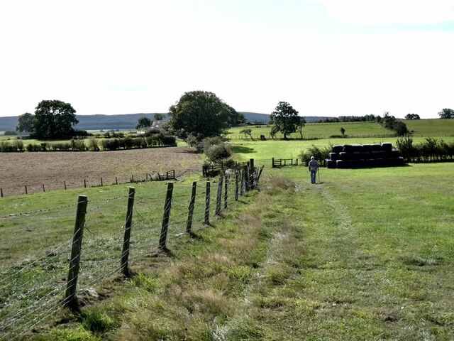
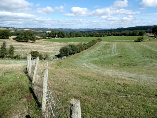
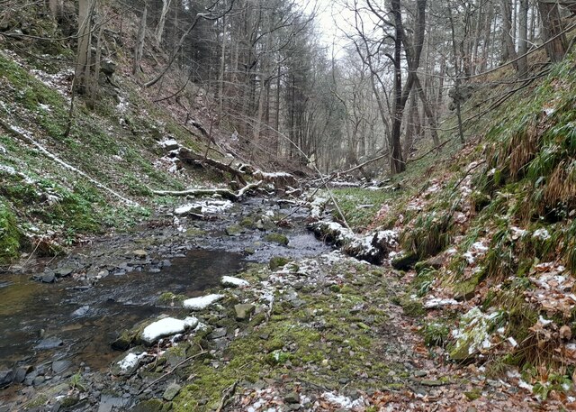
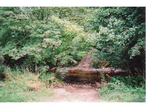
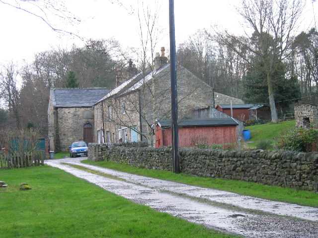
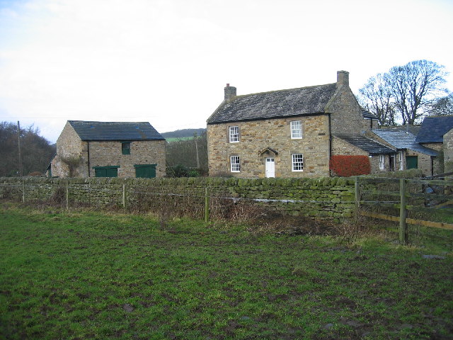
Furnace Wood is a charming woodland located in the county of Northumberland, England. Situated in the heart of the region, this forest is known for its picturesque landscapes and rich biodiversity. Covering an area of approximately 100 acres, Furnace Wood offers visitors a tranquil escape from the hustle and bustle of everyday life.

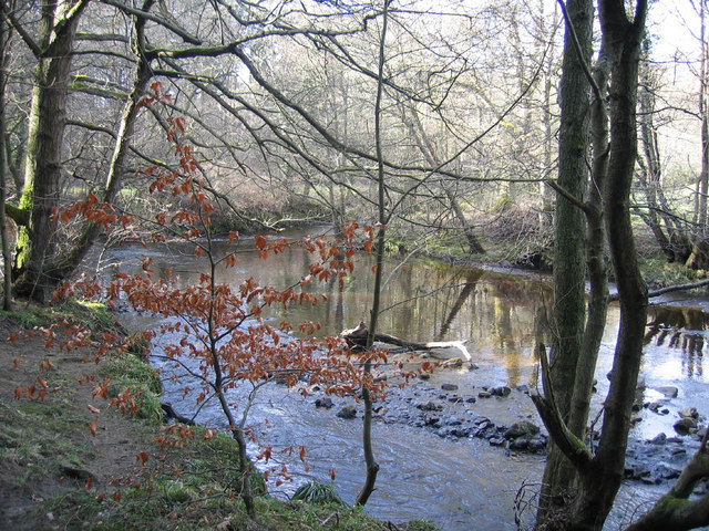
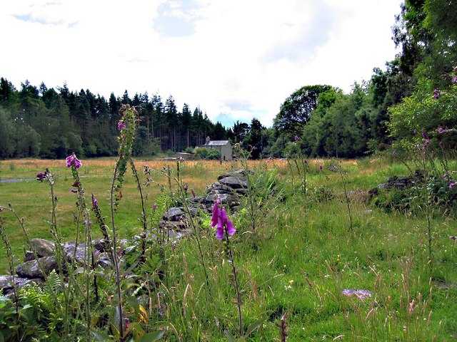
The woodland is predominantly made up of native deciduous trees such as oak, beech, and ash, creating a stunning canopy of foliage that changes with the seasons. In spring, the forest comes alive with a riot of colors as wildflowers bloom across the forest floor. Autumn brings a spectacular display of vibrant hues as the leaves turn golden, orange, and red.

Furnace Wood is home to a diverse range of wildlife, making it a haven for nature enthusiasts. Visitors may be lucky enough to spot red squirrels, roe deer, and a variety of bird species, including the elusive tawny owl. The forest also supports a rich ecosystem of smaller creatures, from insects and butterflies to fungi and mosses.

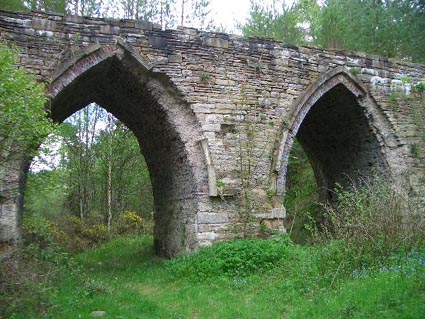
The wood is crisscrossed by a network of well-maintained walking trails, allowing visitors to explore its beauty at their own pace. The paths wind through ancient trees and over babbling brooks, offering a sense of serenity and connection with nature. Along the way, visitors may come across remnants of the area's industrial past, such as the ruins of an old iron furnace, adding a touch of historical interest to the woodland experience.

Overall, Furnace Wood in Northumberland is a true gem, combining natural beauty, biodiversity, and a sense of history. Whether you are a nature lover, a history enthusiast, or simply seeking a peaceful retreat, this woodland offers a delightful escape into the heart of Northumberland's natural wonders.

If you have any feedback on the listing, please let us know in the comments section below.
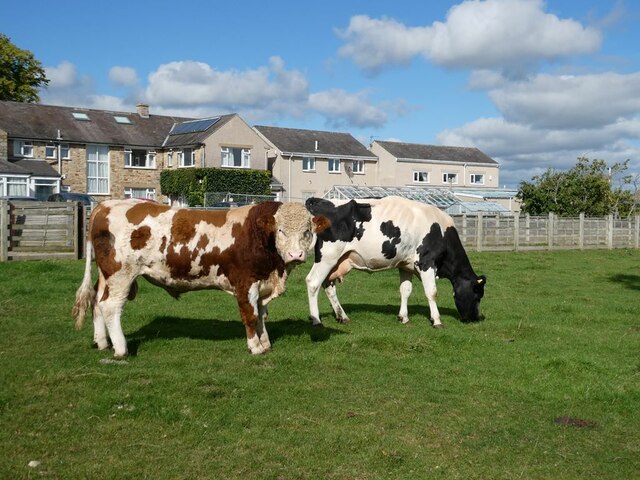
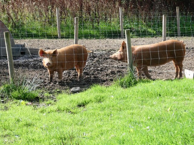
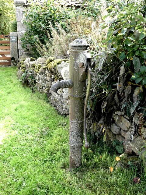
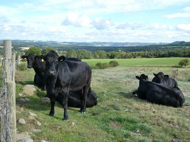
Furnace Wood Images

Images are sourced within 2km of 54.920687/-2.0868382 or Grid Reference NY9458. Thanks to Geograph Open Source API. All images are credited.

Bull and cow Set against the unlikely backdrop of Close House Residential Care Home.
Bull and cow
Set against the unlikely backdrop of Close House Residential Care Home.
Tamworth Reds I never knew that pigs could set up quite the cacophonous racket that these two (together with a couple of others) did when they saw us and presumably thought that food  was on the way!
Tamworth Reds
I never knew that pigs could set up quite the cacophonous racket that these two (together with a couple of others) did when they saw us and presumably thought that food was on the way!
Old pump Outside Lee Nook Farm.
Old pump
Outside Lee Nook Farm.
Heffers and steers Beside the path to Lee. Tynedale in the distance.
Heffers and steers
Beside the path to Lee. Tynedale in the distance.
The path to Lee
The path to Lee
Fields beside the path from Lee to Newbigin House Farm
Floral bicycle in a garden at Whitley Chapel
Old Milestone by UC road, Ordley The Milestone is located on grass verge on the East side of the road.  Parish of Hexhamshire (Tynedale District). Metal post with attached metal plate, Smith Patterson iron shield design, erected by the Hexham turnpike trust in the 19th Century. Half of shield missing. An earlier photograph can be found here: <a title="https://www.geograph.org.uk/photo/6055942" href="https://www.geograph.org.uk/photo/6055942">Link</a> 

Inscription reads:-  
WHITLEY / CHAPEL / (2½) {arrow} / (HEXHAM) / (3) / ({arrow}) SMITH PATTERSON / BLAYDON /

Grade II listed. 
List Entry Number: 1045329 <span class="nowrap"><a title="https://historicengland.org.uk/listing/the-list/list-entry/1045329" rel="nofollow ugc noopener" href="https://historicengland.org.uk/listing/the-list/list-entry/1045329">Link</a><img style="margin-left:2px;" alt="External link" title="External link - shift click to open in new window" src="https://s1.geograph.org.uk/img/external.png" width="10" height="10"/></span> 

Milestone Society National ID: NB_HXWC03
Old Milestone by UC road, Ordley
The Milestone is located on grass verge on the East side of the road.  Parish of Hexhamshire (Tynedale District). Metal post with attached metal plate, Smith Patterson iron shield design, erected by the Hexham turnpike trust in the 19th Century. Half of shield missing. An earlier photograph can be found here: Link  Inscription reads:- WHITLEY / CHAPEL / (2½) {arrow} / (HEXHAM) / (3) / ({arrow}) SMITH PATTERSON / BLAYDON / Grade II listed. List Entry Number: 1045329 LinkExternal link Milestone Society National ID: NB_HXWC03
Gorge in Shieldhill Wood A gorge in Shieldhill Wood near the hamlet of Juniper.
Gorge in Shieldhill Wood
A gorge in Shieldhill Wood near the hamlet of Juniper.
Ford, Peth Foot Ford takes a rough lane through Devil's Water.
Ford, Peth Foot
Ford takes a rough lane through Devil's Water.
Old School and School House, Whitley Chapel
Dye House Bridge
Dye House Bridge
Dye House Cottages and former Methodist chapel Dye House Methodist Chapel can be seen in the background.  The Chapel is dated 1865 and built in the Georgian style (Pevsner).  Cottages dated 1725 and are an early example of the two-storey three bay farmhouse type (Pevsner).
Dye House Cottages and former Methodist chapel
Dye House Methodist Chapel can be seen in the background. The Chapel is dated 1865 and built in the Georgian style (Pevsner). Cottages dated 1725 and are an early example of the two-storey three bay farmhouse type (Pevsner).
Mollersteads A late 18th century house, altered in the early 19th century. This is a Grade II Listed Building protected by law.
<span class="nowrap"><a title="http://www.keystothepast.info/durhamcc/K2P.nsf/K2PDetail?readform&PRN=N23658" rel="nofollow ugc noopener" href="http://www.keystothepast.info/durhamcc/K2P.nsf/K2PDetail?readform&PRN=N23658">Link</a><img style="margin-left:2px;" alt="External link" title="External link - shift click to open in new window" src="https://s1.geograph.org.uk/img/external.png" width="10" height="10"/></span>
Mollersteads
A late 18th century house, altered in the early 19th century. This is a Grade II Listed Building protected by law. LinkExternal link
Dukesfield Smelt Mill, Hexhamshire An old smelt mill stood to the southwest of Dukesfield Mill bridge. It was built in the late 18th century. The ore came from the lead mines owned by Beaumont family in Allendale. The site was demolished in 1836, and now there is nothing to be seen here apart from the gothic arches of the flue.
Dukesfield Smelt Mill, Hexhamshire
An old smelt mill stood to the southwest of Dukesfield Mill bridge. It was built in the late 18th century. The ore came from the lead mines owned by Beaumont family in Allendale. The site was demolished in 1836, and now there is nothing to be seen here apart from the gothic arches of the flue.
The Devil's Water Picture taken just upstream from the ford and footbridge near Peth Foot
The Devil's Water
Picture taken just upstream from the ford and footbridge near Peth Foot
Redlead Mill, near Whitley Chapel
Ford at Dye House, near Juniper
Show me another place!

Furnace Wood is located at Grid Ref: NY9458 (Lat: 54.920687, Lng: -2.0868382)

Unitary Authority: Northumberland

Police Authority: Northumbria

What 3 Words

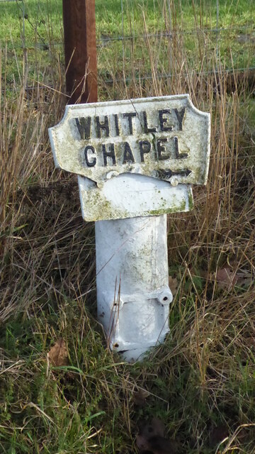
///detective.arrival.dozen. Near Slaley, Northumberland

Related Wikis

Rowley Burn (Northumberland)

Rowley Burn (also known as Rowley Brook and Ham Burn, NY 9358) is a stream in Northumberland, running around three miles south of Hexham before joining...

Hexhamshire Low Quarter

Hexhamshire Low Quarter is a former civil parish, now in the parish of Hexhamshire, in Northumberland, England. It was situated to the south of Hexham...

Juniper, Northumberland

Juniper is a hamlet in the English county of Northumberland. It is about 5 miles (8 km) due south of Hexham in the area known as Hexhamshire. There is...

Hexhamshire

Hexhamshire is a civil parish in Northern England. It was incorporated into Northumberland in 1572. == History == Hexhamshire was originally a single parish...

Whitley Chapel

Whitley Chapel is a village in Northumberland, England about 4 miles (6 km) south of Hexham, and in the parish of Hexhamshire. == Governance == Whitley...

Slaley, Northumberland

Slaley is a village in Northumberland, England. It is situated to the southeast of Hexham. It is surrounded by the following villages: Ruffside, Whitley...

Colpitts Grange

Colpitts Grange is a hamlet in Northumberland, England. It is about 7 miles (11 km) to the south-east of Hexham. == Governance == Colpitts Grange is in...

Slaley Hall

Slaley Hall is a country house golf resort in Northumberland in North East England, built by local developers Seamus O'Carroll and John Rourke which hosted...

Have you been to Furnace Wood?

Leave your review of Furnace Wood below (or comments, questions and feedback).