Deer Park Spinney

Wood, Forest in Gloucestershire Stroud

England

Deer Park Spinney

Stone Stile, Caudle Green Looking SW towards the village.
Stone Stile, Caudle Green Credit: Malcolm Christie

Deer Park Spinney is a picturesque woodland located in Gloucestershire, England. Situated within the larger Forest of Dean, the spinney covers an area of approximately 10 acres and is renowned for its natural beauty and diverse wildlife.

The spinney is predominantly composed of ancient oak trees, which provide a stunning canopy of foliage throughout the year. These majestic trees, some of which are several hundred years old, create a tranquil and enchanting atmosphere for visitors.

As the name suggests, Deer Park Spinney is home to a variety of wildlife, including a population of fallow deer. These graceful creatures can often be spotted grazing peacefully among the trees, adding to the charm of the woodland. Birdwatchers will also delight in the diverse avian species that call the spinney home, such as woodpeckers, owls, and various songbirds.

Visitors to Deer Park Spinney can enjoy leisurely walks along the well-maintained footpaths that wind through the woodland. These paths offer stunning views of the surrounding countryside and are suitable for all ages and fitness levels. The spinney is a popular destination for nature enthusiasts, photographers, and families looking to escape the hustle and bustle of everyday life.

Access to Deer Park Spinney is free, and there is ample parking available nearby. The woodland is open to the public all year round, although it is particularly beautiful during the autumn months when the leaves change color, creating a vibrant and captivating display.

Overall, Deer Park Spinney is a hidden gem in Gloucestershire, offering visitors a unique opportunity to immerse themselves in the natural beauty of the Forest of Dean.

If you have any feedback on the listing, please let us know in the comments section below.

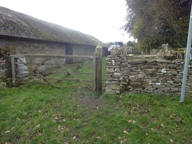
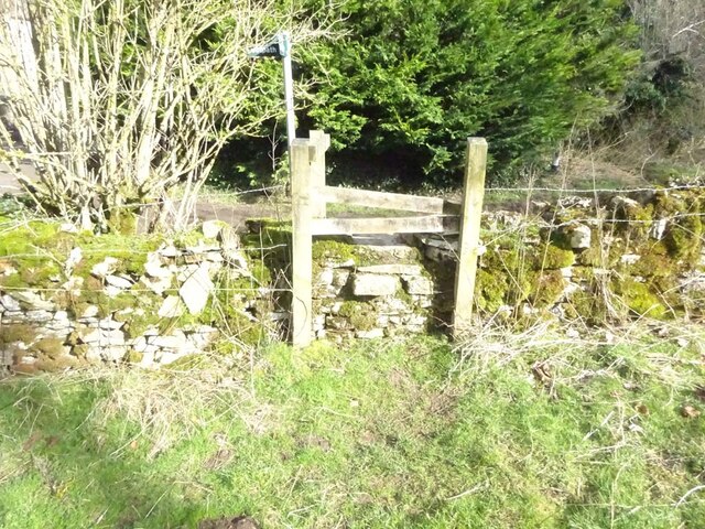
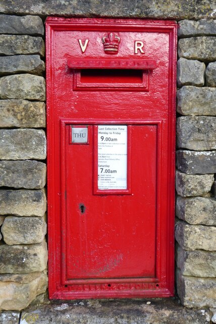
Deer Park Spinney Images

Images are sourced within 2km of 51.775794/-2.0875968 or Grid Reference SO9408. Thanks to Geograph Open Source API. All images are credited.

Stone Stile, Caudle Green Looking SW towards the village.
Stone Stile, Caudle Green
Looking SW towards the village.
Stone Stile, Caudle Green A step stile on the Northern side of the road approaching the village. On Gloucestershire footpath BBR28. The view from the road side is <a href="https://www.geograph.org.uk/photo/7061298">SO9410 : Stone Stile, Caudle Green</a>.
Stone Stile, Caudle Green
A step stile on the Northern side of the road approaching the village. On Gloucestershire footpath BBR28. The view from the road side is SO9410 : Stone Stile, Caudle Green.
Stone Stile, Caudle Green A step stile on the Northern side of the road approaching the village. On Gloucestershire footpath BBR28. The view from the appreciable drop on the other side is <a href="https://www.geograph.org.uk/photo/7061296">SO9410 : Stone Stile, Caudle Green</a>.
Stone Stile, Caudle Green
A step stile on the Northern side of the road approaching the village. On Gloucestershire footpath BBR28. The view from the appreciable drop on the other side is SO9410 : Stone Stile, Caudle Green.
Stone Stile, Caudle Green Looking into a field at the junction of Gloucestershire footpaths MMN23 & BBR38 where the paths transition from woodland to a field sparsely populated with "meadow flowers". The soil in the field is heavily laden with stones. The view towards the woodland is <a href="https://www.geograph.org.uk/photo/7104960">SO9310 : Stone Stile, Caudle Green</a>.
Stone Stile, Caudle Green
Looking into a field at the junction of Gloucestershire footpaths MMN23 & BBR38 where the paths transition from woodland to a field sparsely populated with "meadow flowers". The soil in the field is heavily laden with stones. The view towards the woodland is SO9310 : Stone Stile, Caudle Green.
Stone Stile, Caudle Green Looking from a field at the junction of Gloucestershire footpaths MMN23 & BBR38 where the paths transition from woodland to a field sparsely populated with "meadow flowers". The soil in the field is heavily laden with stones. The view from the woodland is <a href="https://www.geograph.org.uk/photo/7104958">SO9310 : Stone Stile, Caudle Green</a>.
Stone Stile, Caudle Green
Looking from a field at the junction of Gloucestershire footpaths MMN23 & BBR38 where the paths transition from woodland to a field sparsely populated with "meadow flowers". The soil in the field is heavily laden with stones. The view from the woodland is SO9310 : Stone Stile, Caudle Green.
Stone Stile, Caudle Green Due South of the village green at the junction of Gloucestershire footpaths MMN23 & BBR25 in woodland. This point is also on the boundaries of: county constituency, civil parishes of Miserden and Brimsfield, and the county district. This is the view looking NE, the view SW is <a href="https://www.geograph.org.uk/photo/7104970">SO9410 : Stone Stile, Caudle Green</a>.
Stone Stile, Caudle Green
Due South of the village green at the junction of Gloucestershire footpaths MMN23 & BBR25 in woodland. This point is also on the boundaries of: county constituency, civil parishes of Miserden and Brimsfield, and the county district. This is the view looking NE, the view SW is SO9410 : Stone Stile, Caudle Green.
Stone Stile, Caudle Green Due South of the village green at the junction of Gloucestershire footpaths MMN23 & BBR25 in woodland. This point is also on the boundaries of: county constituency, civil parishes of Miserden and Brimsfield, and the county district. This is the view looking SW, the view NE is <a href="https://www.geograph.org.uk/photo/7104969">SO9410 : Stone Stile, Caudle Green</a>.
Stone Stile, Caudle Green
Due South of the village green at the junction of Gloucestershire footpaths MMN23 & BBR25 in woodland. This point is also on the boundaries of: county constituency, civil parishes of Miserden and Brimsfield, and the county district. This is the view looking SW, the view NE is SO9410 : Stone Stile, Caudle Green.
Stone Stile, Caudle Green From a small field into a grazing field at the SE corner of the garden walls of 'Calley House'. This is looking SW away from the village, the view towards the village is <a href="https://www.geograph.org.uk/photo/7104983">SO9410 : Stone Stile, Caudle Green</a>.
Stone Stile, Caudle Green
From a small field into a grazing field at the SE corner of the garden walls of 'Calley House'. This is looking SW away from the village, the view towards the village is SO9410 : Stone Stile, Caudle Green.
Stone Stile, Caudle Green From a small field in to a grazing field at the SE corner of the garden wals of 'Calley House'. This is looking NE towards the village, the view towards the larger field is <a href="https://www.geograph.org.uk/photo/7104981">SO9410 : Stone Stile, Caudle Green</a>.
Stone Stile, Caudle Green
From a small field in to a grazing field at the SE corner of the garden wals of 'Calley House'. This is looking NE towards the village, the view towards the larger field is SO9410 : Stone Stile, Caudle Green.
Stone Stile, Caudle Green A step Stile off the Southern side of the village green on Gloucestershire footpath BBR25. This is looking to the village green, the view from the green is <a href="https://www.geograph.org.uk/photo/7104992">SO9410 : Stone Stile, Caudle Green</a>.
Stone Stile, Caudle Green
A step Stile off the Southern side of the village green on Gloucestershire footpath BBR25. This is looking to the village green, the view from the green is SO9410 : Stone Stile, Caudle Green.
Stone Stile, Caudle Green A step Stile off the Southern side of the village green on Gloucestershire footpath BBR25. This is looking from the village green, the view toward the green is <a href="https://www.geograph.org.uk/photo/7104990">SO9410 : Stone Stile, Caudle Green</a>.
Stone Stile, Caudle Green
A step Stile off the Southern side of the village green on Gloucestershire footpath BBR25. This is looking from the village green, the view toward the green is SO9410 : Stone Stile, Caudle Green.
Stone Stile, Caudle Green A step stile. Looking out of the field on Gloucestershire footpath BBR28 to the road. The view from the road is <a href="https://www.geograph.org.uk/photo/7041359">SO9410 : Stone Stile, Caudle Green</a>.
Stone Stile, Caudle Green
A step stile. Looking out of the field on Gloucestershire footpath BBR28 to the road. The view from the road is SO9410 : Stone Stile, Caudle Green.
Cottage in Caudle Green Cottage in a valley in Caudle Green.
Cottage in Caudle Green
Cottage in a valley in Caudle Green.
Georgian Cotswold house An imposing mid-18th century Georgian house overlooking Caudle Green.  The house is Grade II listed, see: <span class="nowrap"><a title="https://historicengland.org.uk/listing/the-list/list-entry/1305600?section=official-list-entry" rel="nofollow ugc noopener" href="https://historicengland.org.uk/listing/the-list/list-entry/1305600?section=official-list-entry">Link</a><img style="margin-left:2px;" alt="External link" title="External link - shift click to open in new window" src="https://s1.geograph.org.uk/img/external.png" width="10" height="10"/></span>
Georgian Cotswold house
An imposing mid-18th century Georgian house overlooking Caudle Green. The house is Grade II listed, see: LinkExternal link
Houses on Caudle Green Cotswold Stone houses overlooking Caudle Green.
Houses on Caudle Green
Cotswold Stone houses overlooking Caudle Green.
Victorian letterbox Victorian letterbox in Caudle Green.
Victorian letterbox
Victorian letterbox in Caudle Green.
The Garden at Miserden: Garden requisites defying gravity on the tearoom wall
The Garden at Miserden: Entrance to the walled garden
Show me another place!

Deer Park Spinney is located at Grid Ref: SO9408 (Lat: 51.775794, Lng: -2.0875968)

Administrative County: Gloucestershire

District: Stroud

Police Authority: Gloucestershire

What 3 Words

///thuds.segregate.escaping. Near Chalford, Gloucestershire

Related Wikis

Miserden War Memorial

Miserden War Memorial is a First World War memorial in the village of Miserden, near Stroud, in Gloucestershire, south-western England. The memorial, designed...

Miserden Castle

Miserden Castle was a castle near the village of Miserden in Gloucestershire, England. The castle is a large motte and bailey Norman castle, built before...

Miserden

Miserden is a village and civil parish in Stroud District, Gloucestershire, England, 4 miles north east of Stroud. The parish includes Whiteway Colony...

Winstone

Winstone is a village and civil parish in the English county of Gloucestershire. The population taken at the 2011 census was 270.Winstone forms part of...

Syde

Syde, often in the past spelt Side, is a small village and civil parish in Gloucestershire, England. It lies in the Cotswolds, near the source of the River...

Church of St Mary the Virgin, Syde

The Anglican Church of St Mary the Virgin at Syde in the Cotswold District of Gloucestershire, England was built in the early 12th century. It is a grade...

Edgeworth, Gloucestershire

Edgeworth is a small village and civil parish in the English county of Gloucestershire. It is located east of Stroud, west of Cirencester and south of...

Whiteway Colony

Whiteway Colony is a residential community in the Cotswolds in the parish of Miserden near Stroud, Gloucestershire, United Kingdom. The community was founded...

Nearby Amenities

Located within 500m of 51.775794,-2.0875968
Pub
Carpenters Arms
Addr City: Miserden
Addr Country: GB
Addr Postcode: GL6 7JA
Fhrs Id: 154391
Lat/Long: 51.7783251/-2.0925406
Bus Stop
Carpenters Arms
Bench: yes
Bin: no
Bus: yes
Lit: no
Naptan AtcoCode: 1600GL3300
Naptan Bearing: SW
Naptan CommonName: Carpenters Arms
Naptan NaptanCode: glodptpa
Naptan Street: Miserden Park
Naptan Verified: no
Public Transport: platform
Shelter: yes
Source: naptan_import
Tactile Paving: no
Lat/Long: 51.7783079/-2.0922605
Bus Stop
Anvil Barn
Bus: yes
Naptan AtcoCode: 1600GLS821
Naptan Bearing: SE
Naptan CommonName: Anvil Barn
Naptan NaptanCode: glodptja
Naptan Street: Edgeworth Rd
Naptan Verified: no
Public Transport: platform
Source: naptan_import
Lat/Long: 51.7750688/-2.0947037
Barrier: kissing_gate
Source: survey
Lat/Long: 51.7789698/-2.0904763
Power: pole
Lat/Long: 51.7721704/-2.0894061
Power: pole
Lat/Long: 51.7718442/-2.0878625
Power: pole
Lat/Long: 51.7724953/-2.0909327
Power: pole
Lat/Long: 51.7728309/-2.0925268
Power: pole
Lat/Long: 51.7746723/-2.0896393
Power: pole
Lat/Long: 51.7760398/-2.0904949
Power: pole
Lat/Long: 51.7766597/-2.0908812
Power: pole
Lat/Long: 51.7754266/-2.0901342
Bench
Backrest: yes
Lat/Long: 51.7753777/-2.0947566
Defibrillator
Booth: K6
Covered: booth
Defibrillator Location: inside disused red phone booth in Miserden
Disused Amenity: telephone
Emergency: defibrillator
Indoor: no
Listed Status: Grade II
Man Made: telephone_box
Operator: Community Heartbeat
Ref: CHT-14-1406
Lat/Long: 51.7781613/-2.0923883
Power: pole
Lat/Long: 51.7738938/-2.0891761
Power: pole
Lat/Long: 51.7731598/-2.0887091
Power: pole
Lat/Long: 51.7724951/-2.0882888
Pillow mound
Archaeological Site: tumulus
Historic: archaeological_site
Lat/Long: 51.7760985/-2.0846909
Waste Basket
Lat/Long: 51.7789281/-2.090561
The data included in this document is from www.openstreetmap.org. The data is made available under ODbL.

Have you been to Deer Park Spinney?

Leave your review of Deer Park Spinney below (or comments, questions and feedback).