Lamphill Wood

Wood, Forest in Gloucestershire Stroud

England

Lamphill Wood

Stone Stile, Caudle Green A step stile on the Northern side of the road approaching the village. On Gloucestershire footpath BBR28. The view from the road side is <a href="https://www.geograph.org.uk/photo/7061298">SO9410 : Stone Stile, Caudle Green</a>.
Stone Stile, Caudle Green Credit: Mr Red

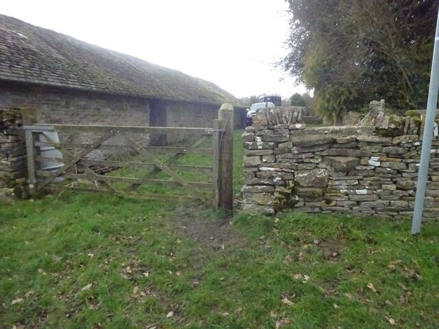
Lamphill Wood is a picturesque woodland located in the county of Gloucestershire, England. Covering an area of approximately 100 acres, this ancient forest is a haven for nature enthusiasts, hikers, and wildlife lovers alike.

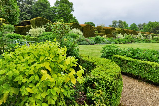
The woodland is characterized by its diverse range of tree species, including oak, beech, ash, and silver birch. These towering trees create a dense canopy overhead, providing shade and shelter for a variety of flora and fauna. The forest floor is adorned with a carpet of bluebells in the spring, transforming the wood into a vibrant and enchanting scene.

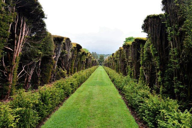
Traversing the woodland, visitors will find a network of well-maintained footpaths and trails that lead through the forest and provide breathtaking views of the surrounding countryside. These paths cater to all levels of fitness and offer opportunities for leisurely strolls or more challenging hikes.

Lamphill Wood is home to an array of wildlife, with sightings of deer, foxes, badgers, and a variety of bird species being common. Nature enthusiasts can often spot woodpeckers, owls, and buzzards among the treetops, adding to the enchantment of the woodland experience.

Managed by local authorities, Lamphill Wood is a cherished community asset. Regular maintenance and conservation efforts ensure the preservation of the woodland's natural beauty and the protection of its delicate ecosystem.

In summary, Lamphill Wood is a tranquil and captivating forest in Gloucestershire, offering visitors a chance to immerse themselves in nature, explore its well-maintained trails, and appreciate the abundant wildlife that calls this woodland home.

If you have any feedback on the listing, please let us know in the comments section below.

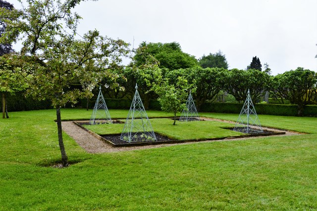
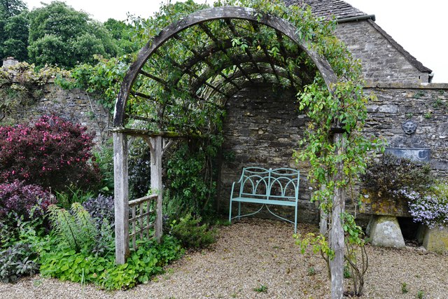
Lamphill Wood Images

Images are sourced within 2km of 51.775079/-2.0810878 or Grid Reference SO9408. Thanks to Geograph Open Source API. All images are credited.

Stone Stile, Caudle Green A step stile on the Northern side of the road approaching the village. On Gloucestershire footpath BBR28. The view from the road side is <a href="https://www.geograph.org.uk/photo/7061298">SO9410 : Stone Stile, Caudle Green</a>.
Stone Stile, Caudle Green
A step stile on the Northern side of the road approaching the village. On Gloucestershire footpath BBR28. The view from the road side is SO9410 : Stone Stile, Caudle Green.
Stone Stile, Caudle Green A step stile on the Northern side of the road approaching the village. On Gloucestershire footpath BBR28. The view from the appreciable drop on the other side is <a href="https://www.geograph.org.uk/photo/7061296">SO9410 : Stone Stile, Caudle Green</a>.
Stone Stile, Caudle Green
A step stile on the Northern side of the road approaching the village. On Gloucestershire footpath BBR28. The view from the appreciable drop on the other side is SO9410 : Stone Stile, Caudle Green.
Stone Stile, Caudle Green Due South of the village green at the junction of Gloucestershire footpaths MMN23 & BBR25 in woodland. This point is also on the boundaries of: county constituency, civil parishes of Miserden and Brimsfield, and the county district. This is the view looking NE, the view SW is <a href="https://www.geograph.org.uk/photo/7104970">SO9410 : Stone Stile, Caudle Green</a>.
Stone Stile, Caudle Green
Due South of the village green at the junction of Gloucestershire footpaths MMN23 & BBR25 in woodland. This point is also on the boundaries of: county constituency, civil parishes of Miserden and Brimsfield, and the county district. This is the view looking NE, the view SW is SO9410 : Stone Stile, Caudle Green.
Stone Stile, Caudle Green Due South of the village green at the junction of Gloucestershire footpaths MMN23 & BBR25 in woodland. This point is also on the boundaries of: county constituency, civil parishes of Miserden and Brimsfield, and the county district. This is the view looking SW, the view NE is <a href="https://www.geograph.org.uk/photo/7104969">SO9410 : Stone Stile, Caudle Green</a>.
Stone Stile, Caudle Green
Due South of the village green at the junction of Gloucestershire footpaths MMN23 & BBR25 in woodland. This point is also on the boundaries of: county constituency, civil parishes of Miserden and Brimsfield, and the county district. This is the view looking SW, the view NE is SO9410 : Stone Stile, Caudle Green.
Stone Stile, Caudle Green From a small field into a grazing field at the SE corner of the garden walls of 'Calley House'. This is looking SW away from the village, the view towards the village is <a href="https://www.geograph.org.uk/photo/7104983">SO9410 : Stone Stile, Caudle Green</a>.
Stone Stile, Caudle Green
From a small field into a grazing field at the SE corner of the garden walls of 'Calley House'. This is looking SW away from the village, the view towards the village is SO9410 : Stone Stile, Caudle Green.
Stone Stile, Caudle Green From a small field in to a grazing field at the SE corner of the garden wals of 'Calley House'. This is looking NE towards the village, the view towards the larger field is <a href="https://www.geograph.org.uk/photo/7104981">SO9410 : Stone Stile, Caudle Green</a>.
Stone Stile, Caudle Green
From a small field in to a grazing field at the SE corner of the garden wals of 'Calley House'. This is looking NE towards the village, the view towards the larger field is SO9410 : Stone Stile, Caudle Green.
Stone Stile, Caudle Green A step Stile off the Southern side of the village green on Gloucestershire footpath BBR25. This is looking to the village green, the view from the green is <a href="https://www.geograph.org.uk/photo/7104992">SO9410 : Stone Stile, Caudle Green</a>.
Stone Stile, Caudle Green
A step Stile off the Southern side of the village green on Gloucestershire footpath BBR25. This is looking to the village green, the view from the green is SO9410 : Stone Stile, Caudle Green.
Stone Stile, Caudle Green A step Stile off the Southern side of the village green on Gloucestershire footpath BBR25. This is looking from the village green, the view toward the green is <a href="https://www.geograph.org.uk/photo/7104990">SO9410 : Stone Stile, Caudle Green</a>.
Stone Stile, Caudle Green
A step Stile off the Southern side of the village green on Gloucestershire footpath BBR25. This is looking from the village green, the view toward the green is SO9410 : Stone Stile, Caudle Green.
The centre of Winstone The centre of this village of the high wolds is a three-way junction with a small sloping triangle and a pine tree.  Cottages crowd along the lane to the north without ceremony.
The centre of Winstone
The centre of this village of the high wolds is a three-way junction with a small sloping triangle and a pine tree. Cottages crowd along the lane to the north without ceremony.
School Hill, Winstone
The Garden at Miserden: Garden requisites defying gravity on the tearoom wall
The Garden at Miserden: Entrance to the walled garden
The Garden at Miserden: Mixed borders
The Garden at Miserden: Mixed borders and Edwin Lutyens part designed topiary beyond
The Garden at Miserden: The topiary, partly designed by Edwin Lutyens
The Garden at Miserden: Soft fruit cage and fruit trees
The Garden at Miserden: Fruit trees and vegetable pyramids
The Garden at Miserden: A cool, shady bower
Show me another place!

Lamphill Wood is located at Grid Ref: SO9408 (Lat: 51.775079, Lng: -2.0810878)

Administrative County: Gloucestershire

District: Stroud

Police Authority: Gloucestershire

What 3 Words

///glitz.corrode.mailbox. Near Chalford, Gloucestershire

Related Wikis

Miserden Castle

Miserden Castle was a castle near the village of Miserden in Gloucestershire, England. The castle is a large motte and bailey Norman castle, built before...

Miserden War Memorial

Miserden War Memorial is a First World War memorial in the village of Miserden, near Stroud, in Gloucestershire, south-western England. The memorial, designed...

Miserden

Miserden is a village and civil parish in Stroud District, Gloucestershire, England, 4 miles north east of Stroud. The parish includes Whiteway Colony...

Winstone

Winstone is a village and civil parish in the English county of Gloucestershire. The population taken at the 2011 census was 270.Winstone forms part of...

Church of St Bartholomew, Winstone

The Anglican Church of St Bartholomew at Winstone in the Cotswold District of Gloucestershire, England was built in the 11th century. It is a grade I listed...

Edgeworth, Gloucestershire

Edgeworth is a small village and civil parish in the English county of Gloucestershire. It is located east of Stroud, west of Cirencester and south of...

Syde

Syde, often in the past spelt Side, is a small village and civil parish in Gloucestershire, England. It lies in the Cotswolds, near the source of the River...

Church of St Mary the Virgin, Syde

The Anglican Church of St Mary the Virgin at Syde in the Cotswold District of Gloucestershire, England was built in the early 12th century. It is a grade...

Nearby Amenities

Located within 500m of 51.775079,-2.0810878
Power: pole
Lat/Long: 51.7712417/-2.0775225
Power: pole
Lat/Long: 51.7713537/-2.0792901
Power: pole
Lat/Long: 51.7714227/-2.0804689
Natural: spring
Lat/Long: 51.7715811/-2.0822054
Pillow mound
Archaeological Site: tumulus
Historic: archaeological_site
Lat/Long: 51.7760985/-2.0846909
The data included in this document is from www.openstreetmap.org. The data is made available under ODbL.

Have you been to Lamphill Wood?

Leave your review of Lamphill Wood below (or comments, questions and feedback).